NAWM
The National Association of Wetland Managers is a nonprofit membership organization established in 1983 to promote and enhance protection and management of wetland resources, to promote application of sound science to wetland management efforts and to provide training and education for our members and the public. Membership is open to anyone who is involved with wetland resources.
Adaptation & Resiliency for the Advancement of Wetland Science, Policy and Practice
SPONSORSHIP EXHIBIT PAGE
Thank you to our Generous Sponsors!
| OSPREY SPONSOR |
||||
|
|
||||
LOON SPONSOR |
||||
|
|
||||
|
|
||||
 The mission of the Society of Wetland Scientists (SWS) is to promote understanding, conservation, protection, restoration, science-based management, and sustainability of wetlands. The mission of the Society of Wetland Scientists (SWS) is to promote understanding, conservation, protection, restoration, science-based management, and sustainability of wetlands. |
||||
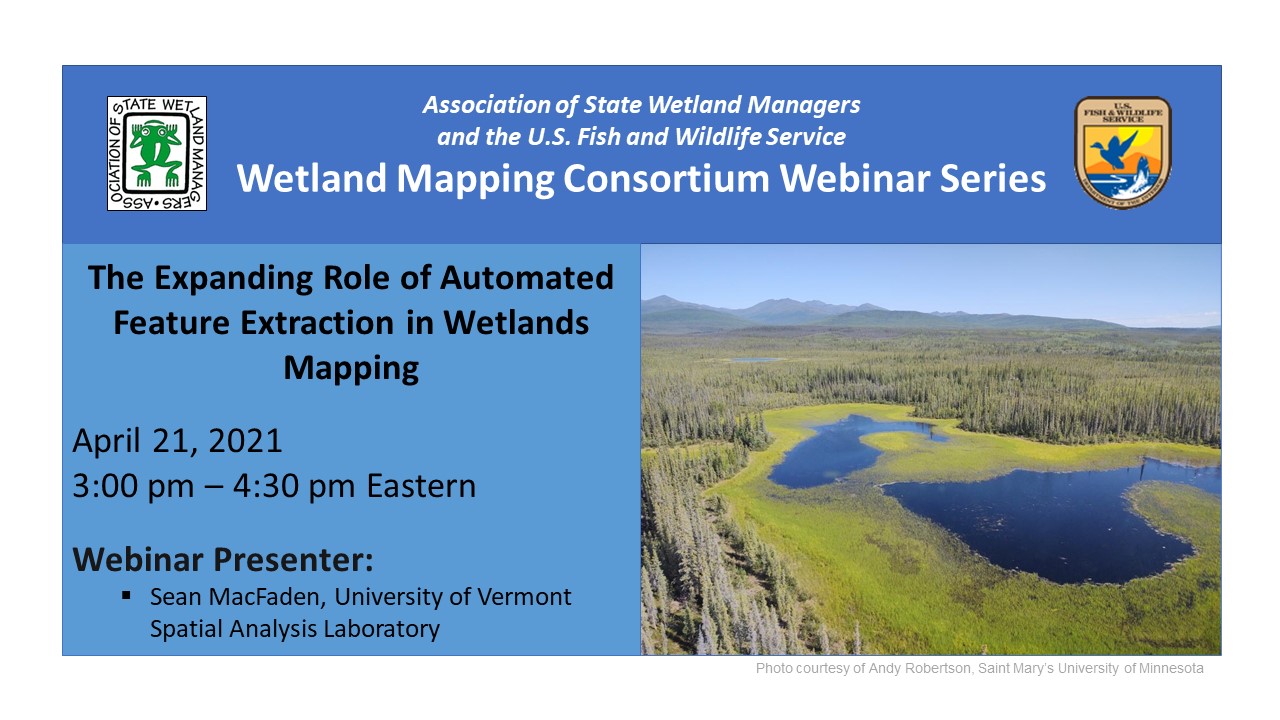
The Expanding Role of Automated Feature Extraction in Wetlands Mapping
Held Wednesday, April 21, 2021 - 3-4:30 pm Eastern
INTRODUCTION
- William Dooley, Policy Analyst, Association of State Wetland Managers [PRESENTATION PDF]
PRESENTER
- Sean MacFaden, University of Vermont Spatial Analysis Laboratory [PRESENTATION PDF]
ABSTRACT
Recent advances in remote sensing have changed how landscape features are mapped: buildings, trees, water, agriculture, etc. Can these newer techniques, presumably faster and more cost-effective, also be used to map wetlands? As complex ecological phenomena, wetlands do not have the discrete edges of buildings or other readily-defined features, and even wetland ecologists debate the nature and precision of wetland\upland transitions in the field. Manual interpretation of aerial imagery is a time-tested and effective method for creating wetland maps, but this approach is laborious and does not always capture forested wetlands and other features that are difficult to discern from above. This presentation discussed a semi-automated mapping approach that first uses high-resolution LiDAR and imagery, in combination with object-based image analysis techniques, to identify and provisionally classify wetlands. Initial mapping is then followed by manual review and correction to address errors of omission and commission and to expand wetland labeling (i.e., uncommon classes that are difficult to automate). The overall goal is to produce NWI-compliant wetlands maps more efficiently and frequently, providing data appropriate for contemporary management and future change detection.
BIO
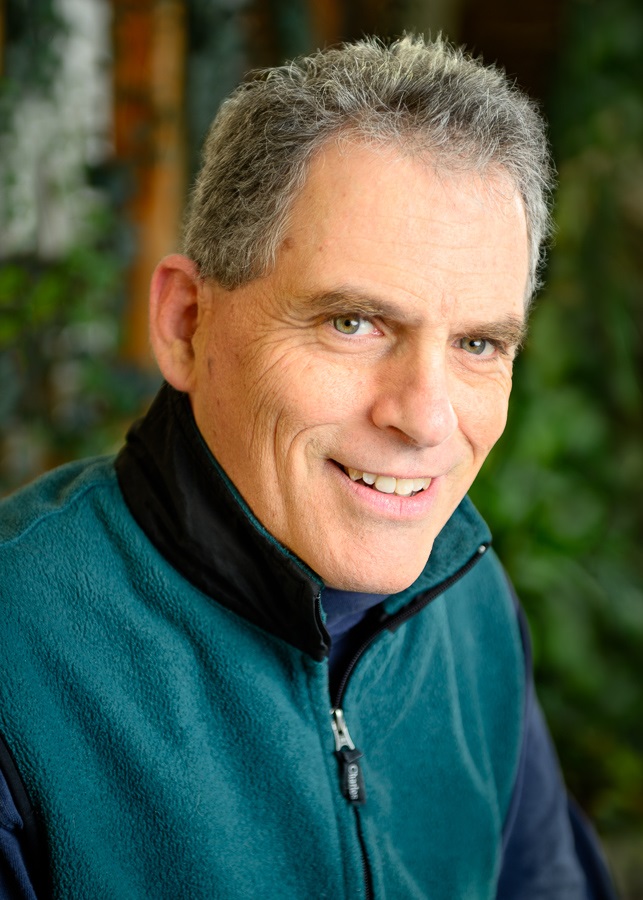 Sean MacFaden is a geospatial analyst with the University of Vermont Spatial Analysis Laboratory. He has a B.S. in Biology from Williams College, an M.S. in Wildlife and Fisheries Biology from the University of Vermont, and more than 25 years of experience in the application of geospatial technologies to natural resources issues. His work focuses on the effective mapping and interpretation of landscapes and their component features, both ecological and anthropogenic. Most recently, his research has focused on high-resolution mapping applications for tree canopy, wetlands, eroded forest roads, and vernal pools.
Please click only once on each video recording to view in this window.

Part 1: Introduction: William Dooley, Policy Analyst, Association of State Wetland Managers
Presenter: Sean MacFaden, University of Vermont Spatial Analysis Laboratory





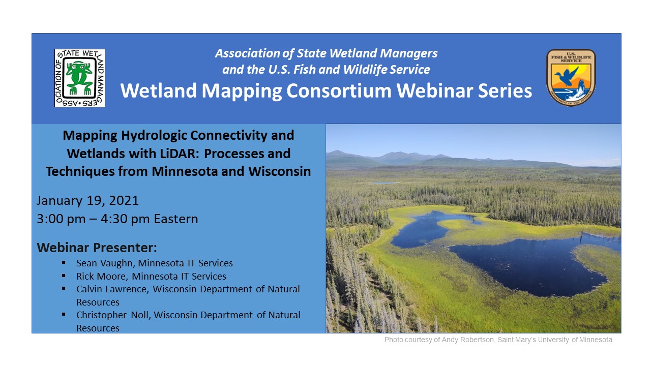
Mapping Hydrologic Connectivity and Wetlands with LiDAR: Processes and Techniques from Minnesota and Wisconsin
Held Tuesday, January 19, 2021 - 3:00pm-4:30pm Eastern
INTRODUCTION
- William Dooley, Policy Analyst, Association of State Wetland Managers[PRESENTATION PDF]
PRESENTERS
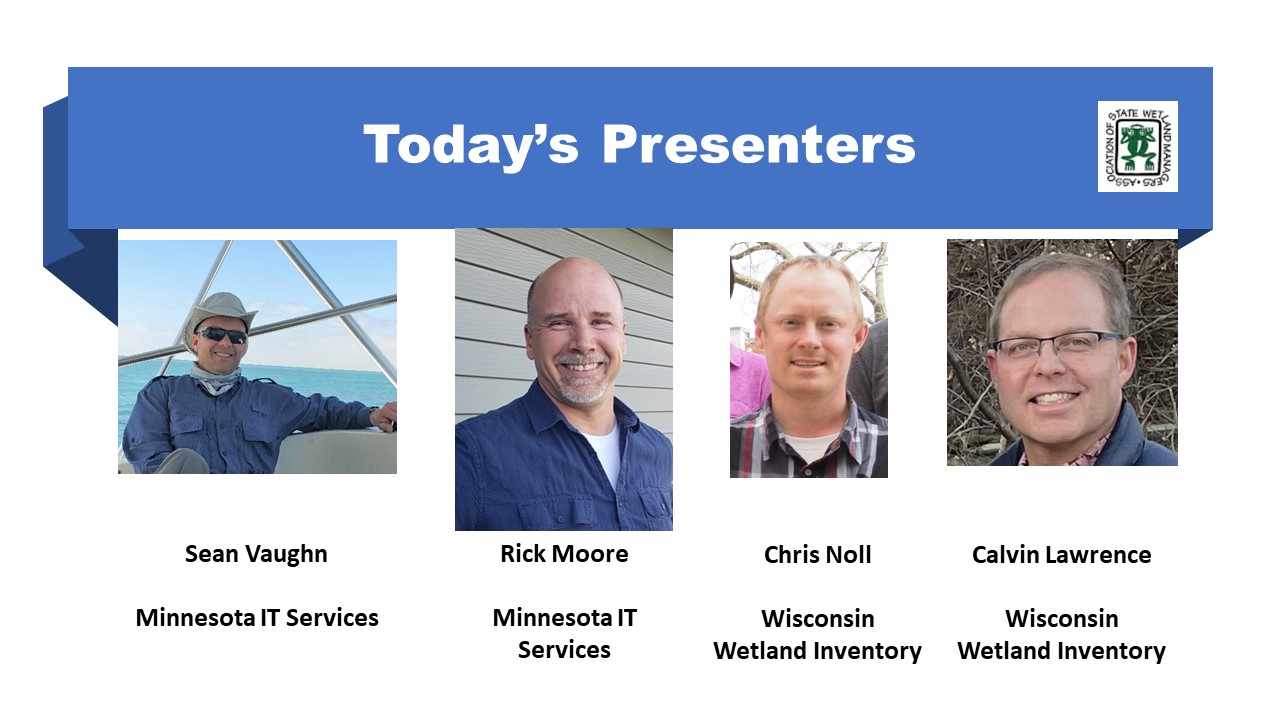
- Sean Vaughn, Minnesota IT Services [PRESENTATION PDF]
- Rick Moore, Minnesota IT Services [PRESENTATION PDF]
- Calvin Lawrence, Wisconsin Department of Natural Resources [PRESENTATION PDF]
- Christopher Noll, Wisconsin Department of Natural Resources [PRESENTATION PDF]
WDNR Wisconsin Wetland Inventory (WWI) Map Production SOP
ABSTRACTS
Sean Vaughn
While LiDAR-derived digital elevation models (DEM) are excellent products to characterize earth’s topographic surface with high accuracy and detail, these foundational data cannot fully serve water related business needs because LiDAR does not represent hydrologic connectivity. LiDAR-mapped landscape features, such as road and railroad grades, act like dams in DEM surfaces where culverts and bridges exist underneath. These synthetic digital dam barriers must be breached to replicate true landscape hydrologic connectivity. Termed DEM hydrologic modification in Minnesota, this process involves augmenting source LiDAR elevation values with information about drainage connections at the surface and subsurface of the landscape. This digital-topographic alteration allows modeled water to accurately flow downstream through digital dams resulting in a special hydrologic DEM surface called a hydro-modified DEM (hDEM).
Rick Moore
DEM hydro-modification has a long history in Minnesota, but the work was completed independently by different organizations implementing different levels of hydro-modification. A DEM Hydro-modification workgroup under the 3D Geomatics Committee was formed three years ago bringing together subject matter experts in Minnesota on DEM hydro-modification. This workgroup developed as a community of practice and worked towards developing standards, methodology and protocols pertaining to DEM hydro-modification. Collaborating with other experts allowed the group to develop standardized attributes, templates, and a database of digital dam breachlines acquired from state funded projects for DEM hydro-modification. This dynamic dataset will be the repository for future hDEM development work. This presentation described our collaboration and the products developed by this workgroup.
Calvin Lawrence and Chris Noll
This presentation gave an overview of the LiDAR-derived layers being used by WDNR Wisconsin Wetland Inventory (WWI) staff to produce new & improved wetland and surface water maps for the National Wetland Inventory (NWI). The presenters showed how to incorporate various LiDAR products and visualization methods to improve the quality and consistency of interpreted polygon boundaries and attribution on wetland maps with the aid of bare earth elevation, slope, canopy height models, and more.
BIOS
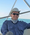 Sean Vaughn is a GIS hydrologist and LiDAR data steward with 25+ years of GIS experience at Minnesota IT Services serving the Department of Natural Resources. In these Hydro/LiDAR roles, he focuses on the development of statewide hydrography GIS datasets and LiDAR-derived products for utilization in water resource management, elevation-derived hydrography, and hydro-terrain analysis. Sean is the cochairmen of the Minnesota 3D Geomatics Committee where he serves as a principal champion for bringing next generation, high-density LiDAR to Minnesota.
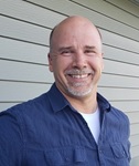 Rick Moore is a GIS Analyst - LiDAR Data Steward with Minnesota IT Services Partnering with the Department of Natural Resources. He graduated from Minnesota State University-Mankato in 2004 with an M.S. degree in Geography specializing in Geographic Information Systems (GIS) and has a BS degree in Geography from the University of Minnesota in 1994. Prior to coming to MNIT@DNR, he worked at the Water Resources Center at Minnesota State University Mankato from 2007 - 2015. Rick focuses on hydro-modification of digital elevation models (DEM) and hydro-terrain analysis using DEMs derived from LiDAR. These hydro-modified DEMs are inputs for hydrologic modeling and applications that target potential locations for agricultural conservation practices.
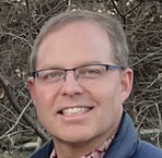 Calvin Lawrence has been vectorizing the Wisconsin Wetland Inventory (WWI) since 1990, first as a student intern at UW Madison and as an LTE with the Wisconsin DNR. Since 1996 unfortunately, he has been the sole FTE working on the GIS side of the inventory for the entire state. But, with the help of many LTE staff over the years as well as partnerships with Southeastern Wisconsin Regional Planning Commission (SEWRPC) and GeoSpatial Services at St. Mary’s University in Minnesota, the last two counties using traditional mapping methods were completed in 2016. Some of those methods used for vectorization from traditional photography have been tweaked and are being applied in the LiDAR arena for wetland mapping.
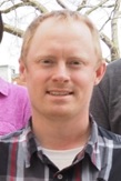 Chris Noll is a GIS developer and cartographer for the Wisconsin Wetland Inventory (WWI). Over the past three years, he led research and development on many of the LiDAR-based approaches discussed in this presentation while working to complete objectives on an EPA Wetland Program Development Grant to overhaul and modernize the WWI. He blends extensive wetland field botany and GIS expertise to specialize in wetland map production, coding workflow efficiency tools using Python, and ongoing R&D of methods that further reduce production costs while maintaining or improving wetland data quality and accuracy.
Please click only once on each video recording to view in this window.
Part 1: Introduction: William Dooley, Policy Analyst,, Association of State Wetland Managers
Presenter: Rick Moore, Minnesota IT Services and Sean Vaughn, Minnesota IT Services
View Past Wetland Mapping Consortium Webinars
PDF List of Pas Wetland Mapping Consortium Webinar Recordings
View Upcoming Wetland Mapping Consortium Webinars
National Action Plan to Protect and Restore Floodplains
Held Thursday, February 16, 2023 - 3:00 pm-4:30 pm Eastern
INTRODUCTION AND PRESENTERS
- Eileen Shader, Director, American Rivers
- Marla Stelk, Executive Director, National Association of Wetland Managers
Please click only once on each video recording to view in this window.
Part 1: Introduction: Eileen Shader, Director, American Rivers and Marla Stelk, Executive Director, NAWM
Presenter: Eileen Shader, Director, American Rivers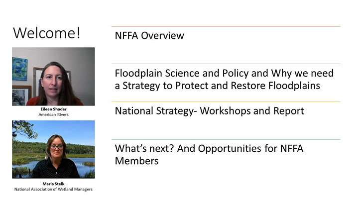
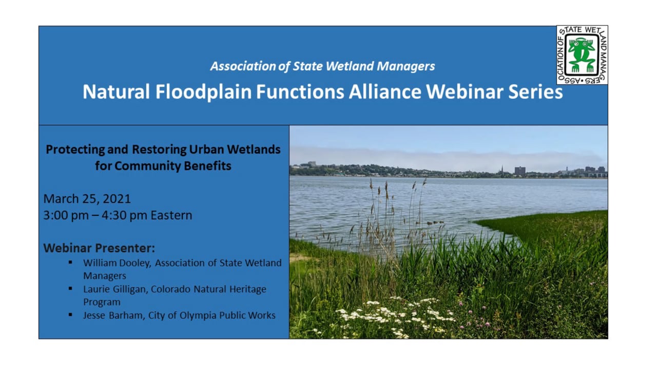
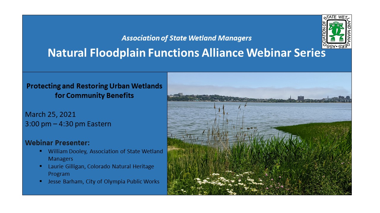
Protecting and Restoring Urban Wetlands for Community Benefits
Held Thursday, March 25, 2021 - 3:00 pm-4:30 pm Eastern
INTRODUCTION
- Marla Stelk, Executive Director, Association of State Wetland Managers [PRESENTATION PDF]
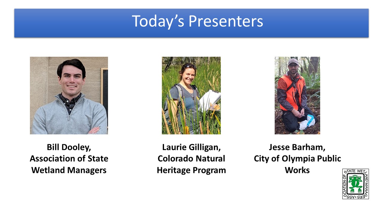
PRESENTERS
- William Dooley, Association of State Wetland Managers [PRESENTATION PDF]
- Laurie Gilligan, Colorado Natural Heritage Program [PRESENTATION PDF]
- Jesse Barham, City of Olympia Public Works [PRESENTATION PDF]
ABSTRACT
Wetlands reduce flooding, diminish urban heat, filter water, and provide green spaces for people and wildlife alike making cities more livable. However, state and federal wetland programs often fail to fully recognize and account for the full spectrum of benefits urban wetlands provide. They are often maligned as too small, too ecologically degraded, and facing too many local stressors to be prioritized for restoration and protection by programs with limited available resources. As a result, urban communities are more likely to see their wetland resources developed and impacted while more rural systems are restored and protected. Urban communities' benefit from natural spaces and wetland functions as much as rural areas, even if those natural spaces are not ecologically pristine. Local communities need to take an active role in recognizing, protecting, and restoring their wetland resources. This webinar presented an overview of the needs and challenges surrounding urban wetlands and share examples where communities have taken steps to incorporate wetland resources into broader urban planning and restoration efforts.
Please click only once on each video recording to view in this window.
Part 1: Introduction: Marla Stelk, Executive Director, Association of State Wetland Managers
Presenter: William Dooley, Association of State Wetland Managers
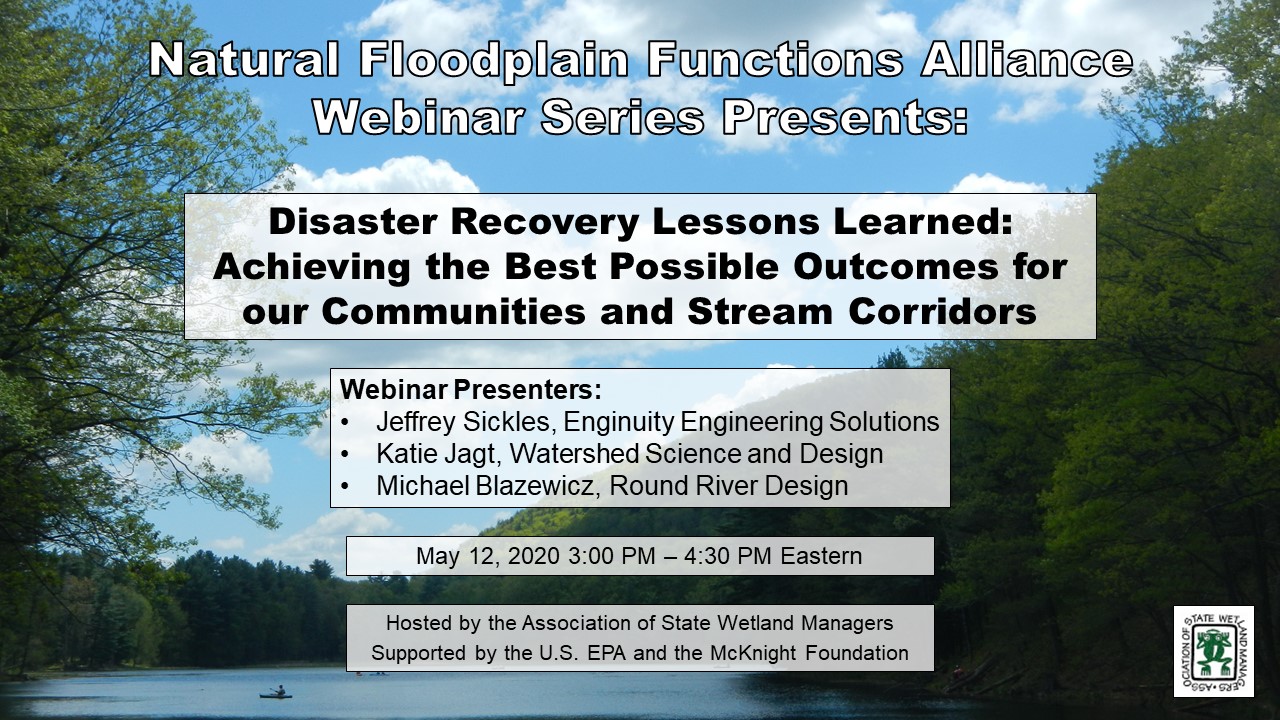
Disaster Recovery Lessons Learned: Achieving the Best Possible Outcomes for our Communities and Stream Corridors
Tuesday, May 12, 2020 - 3:00pm-4:30pm Eastern
INTRODUCTION
- William Dooley, Policy Analyst, Association of State Wetland Managers [PRESENTATION PDF]
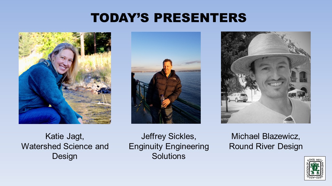
PRESENTERS [PRESENTATION PDF]
- Jeffrey Sickles, Engenuity Engineering Solutions
- Katie Jagt, Watershed Science and Design
- Michael Blazewicz, Round River Design
PRESENTATION DESCRIPTION
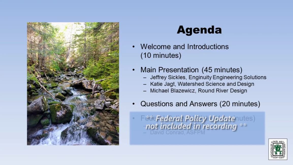
This presentation was intended for a wide audience and outlines specific lessons learned during the 2013 Colorado Flood Recovery: some lessons we shared in this are from successes and others are from stumbles, failures, or opportunities that were never realized. The presentation covered highlights of lessons learned from several of the phases and processes involved in recovery including: Organizing for recovery, shared corridors, disaster response, recovery planning, permitting, and pre-disaster planning.
For those interested in reviewing the associated book developed by the presentation team, which goes into more depth on each topic, they can find the document at the link below:
Additional topics covered in the book, but not anticipated to be covered during the presentation, include: the human element, project identification and scoping, design, construction, revegetation, monitoring, and adaptive management.
Please click only once on each video recording to view in this window.
Part 1: Introduction: William Dooley, Policy Analyst, Association of State Wetland Managers
Presenter: Jeffrey Sickles, Engenuity Engineering Solutions
Held Tuesday, March 10, 2020 - 3:00pm-4:30pm
INTRODUCTION
- William Dooley, Policy Analyst, Association of State Wetland Managers [PRESENTATION PDF]
PRESENTER
-
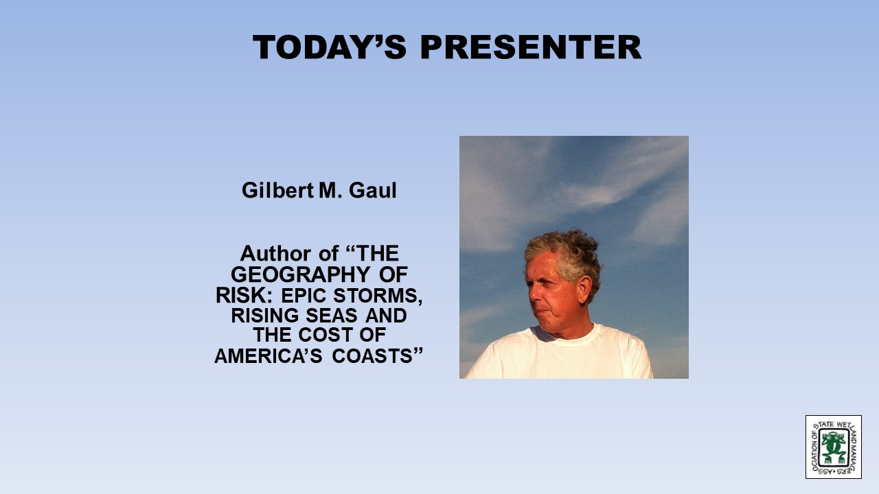
Gilbert M. Gaul, Author [PRESENTATION PDF]
PRESENTATION DESCRIPTION
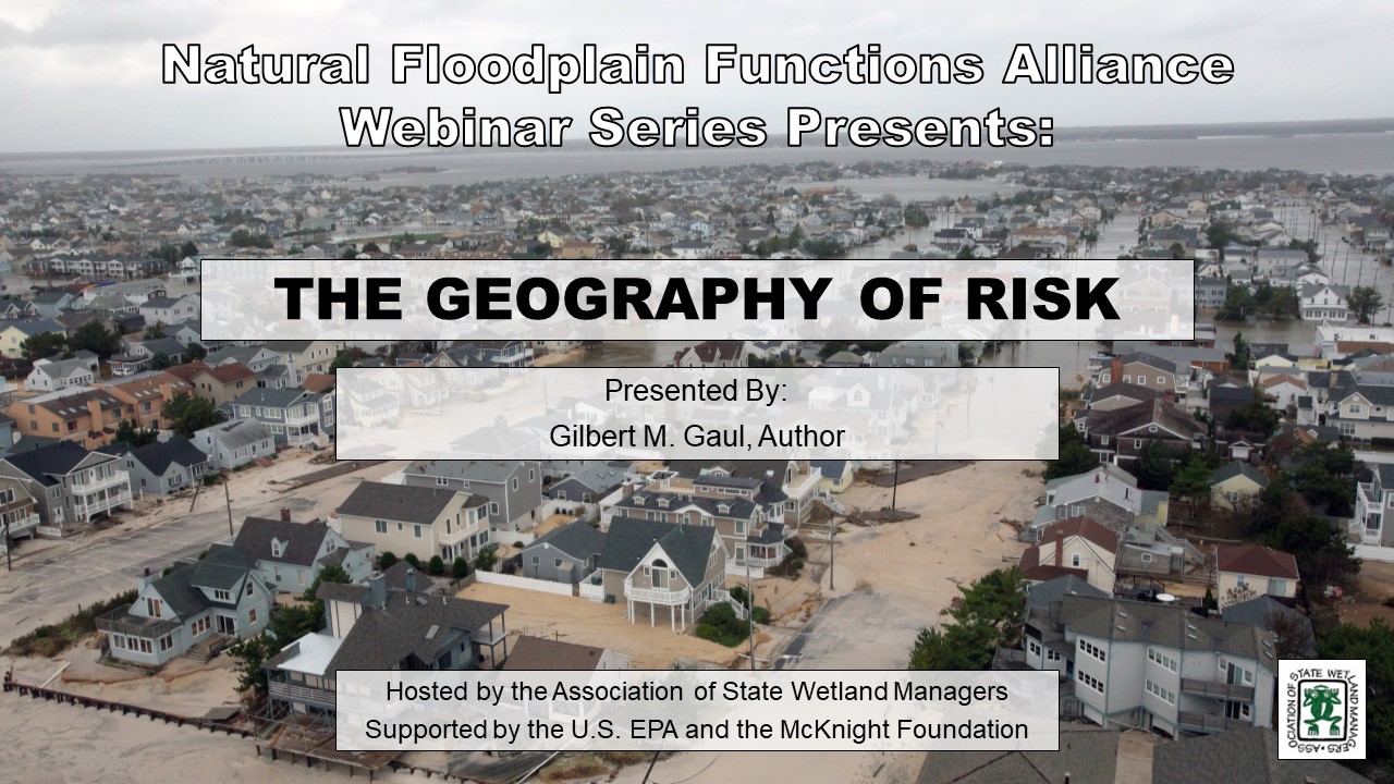
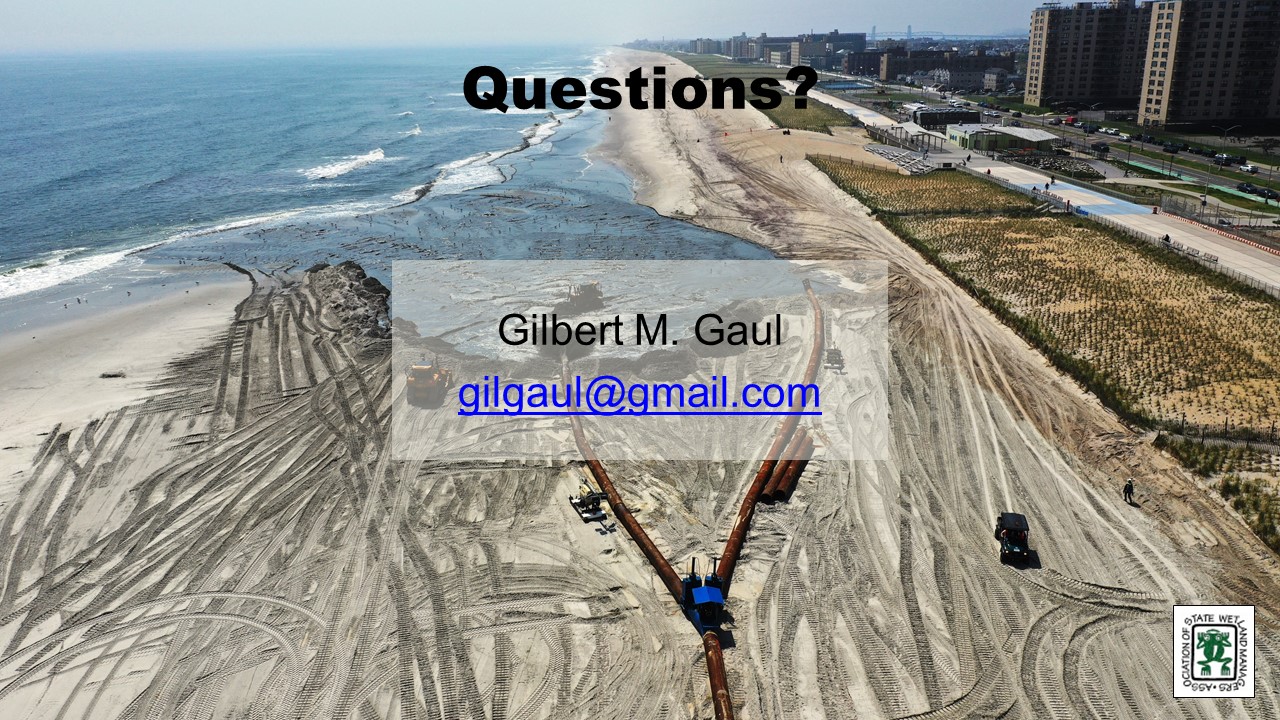
The last two decades have seen a dramatic increase in losses from hurricanes and floods at the coast – nearly $1 Trillion dollars, with the federal government paying for most of the damage. This talk explored the reasons for the surge in damages and losses, the risks posed by unchecked development on barrier islands, floodplains and wetlands, the likelihood of even larger losses in an age of climate change (warming oceans, sea level rise, bigger & more catastrophic hurricanes and torrential rain bombs), and the ongoing efforts to make coastal communities more resilient.
Please click only once on each video recording to view in this window.
Part 1: Introduction: William Dooley, Policy Analyst, Association of State Wetland Managers
Presenter: Gilbert M. Gaul, Author
Focusing on Pre-Event Resilience Building—The Zurich Flood Resilience Alliance Approach
Held Monday, November 18, 2019
Hosted by the Association of State Floodplain Managers
PRESENTER
- Michael Szönyi, MSc, MAS Natural Hazards Management ETH, Flood Resilience Program Lead
Description: In the last five years, a multi-sector alliance of the NGOs sector, academia and Zurich’s risk management experts has focused on shifting from the traditional emphasis on post-event recovery to stress pre-event resilience. More than 110 communities in nine countries have benefited from alliance projects. The evidence-based approach built through dozens of research papers published and implemented in the community programs across the globe illustrates the value of investing in flood resilience.
Flood resilience, however, continues to have trouble gaining wide acceptance and is held back by a lack of investment. According to the ClimateWise Investing for Resilience report, of USD $175 billion economic losses in 2016 that related to natural hazards (of which floods are a major part ) only $50 billion were insured. This $125 billion protection gap is due in part to the lack of evidence of “what works” and because there are few incentives and regulations to encourage investments into sound protection measures at all levels of society. That is why the Alliance’s objectives for the next five-year period will be:
- Supporting the generation of $1 billion in additional funding for flood resilience
- Encouraging effective public policy in support of flood resilience
- Developing sound practices and policy support for flood resilience
- Measurably enhancing flood resilience in vulnerable communities across the world.
“Floods affect more people globally than any other type of natural hazard and cause some of the largest economic, social and humanitarian losses,” said Linda Freiner, Group Head of Sustainability. “By using Zurich’s risk expertise as a global insurer, we can help customers and communities reduce the devastating impacts of floods - even before a flood hits - and build resilience to this disaster. We will work with the alliance members to raise USD $1 billion for investing into building resilience to floods globally – and save lives.”
Alliance members aim to achieve the financial target by rolling out best-practice community programs that will prove the value of resilience-building. The alliance members will share knowledge about the existing and future achievements to encourage various stakeholders to invest in resilience.
Please click only once on each video recording to view in this window.
Presenter: Michael Szönyi, MSc, MAS Natural Hazards Management ETH, Flood Resilience Program Lead
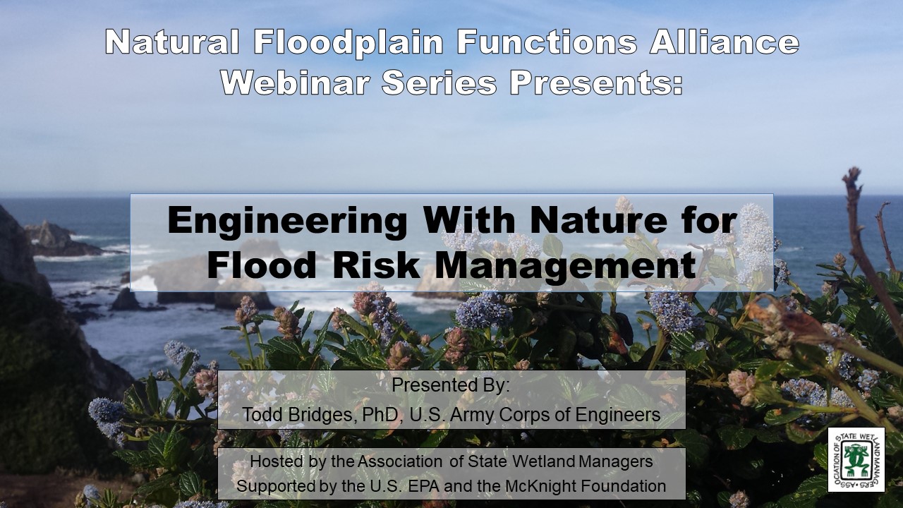
Engineering with Nature for Flood Risk Management
Held Tuesday, October 15, 2019 - 3:00 p.m. Eastern
INTRODUCTION
- William Dooley, Policy Analyst, Association of State Wetland Managers [PRESENTATION PDF]
PRESENTER
- Todd Bridges, PhD, U.S. Army Corps of Engineers [PRESENTATION PDF]
ABSTRACT
The webinar provided an update on the USACE Engineering with Nature® initiative, including the recent publication of the book “Engineering With Nature: an Atlas” that includes descriptions of 56 projects around the world. The growing international interest in leveraging natural systems and processes to support engineering functions, while also producing environmental and social value, is reflected in a number of projects, programs, and initiatives around the world, which will be used to highlight the lessons being learned as well as needs and opportunities for the future.
Please click only once on each video recording to view in this window.
Part 1: Introduction: William Dooley, Policy Analyst, Association of State Wetland Managers
Presenter: Todd Bridges, PhD, U.S. Army Corps of Engineers
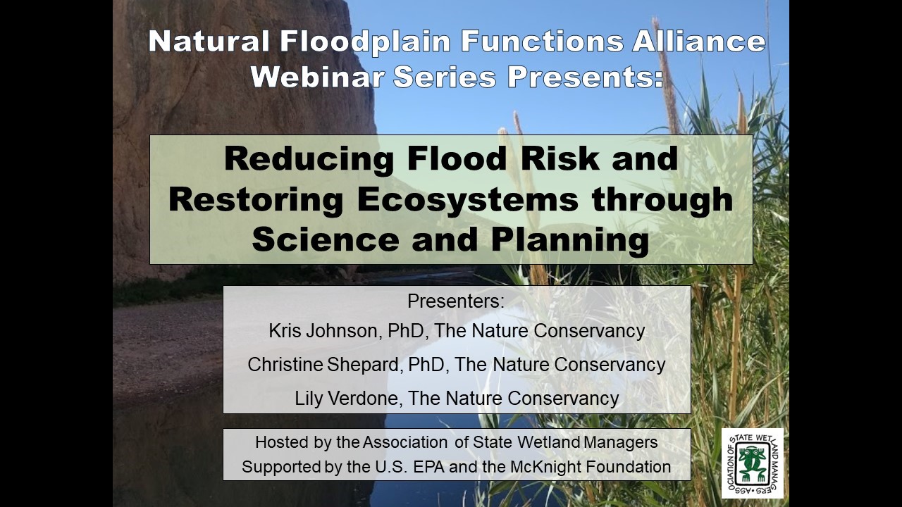
Reducing Flood Risk and Restoring Ecosystems through Science and Planning
Held Tuesday, June 4, 2019
INTRODUCTION
- William Dooley, Policy Analyst, Association of State Wetland Managers, Marla Stelk, Executive Director, Association of State Wetland Managers [PRESENTATION PDF]
PRESENTERS
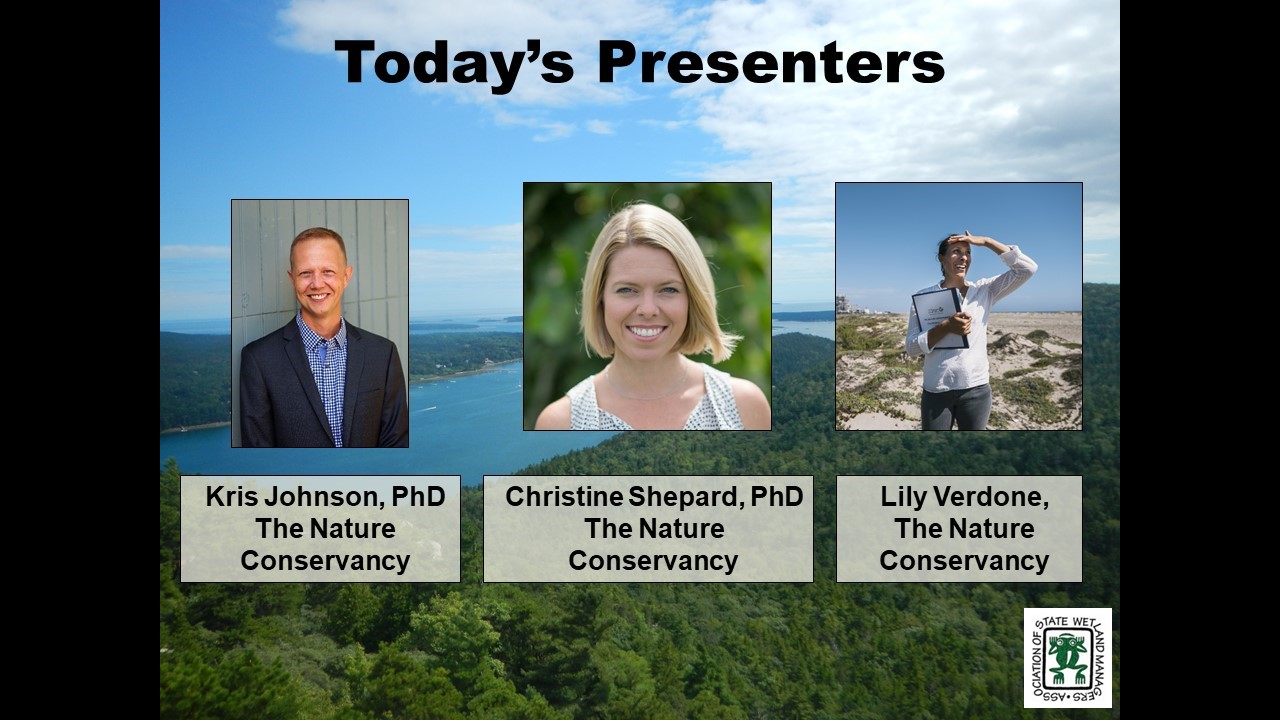
- Kris Johnson, PhD, Associate Director for Science & Planning, North America Agriculture Program, The Nature Conservancy [PRESENTATION PDF]
- Christine Shepard, PhD, Director of Science, Gulf of Mexico Program, The Nature Conservancy [PRESENTATION PDF]
- Lily Verdone, Director of Freshwater and Marine, The Nature Conservancy [PRESENTATION PDF]
ABSTRACTS
Kris Johnson, PhD
Science & decision tools to guide floodplain protection and restoration in the Mississippi Basin
A majority of the floodplains in the Mississippi River Basin have been converted from natural ecosystems to agriculture or development and are hydrologically disconnected and degraded. Protecting and restoring floodplains is critical to reducing flood impacts to people and property, improving water quality, enhancing wildlife habitat and providing other valuable benefits. Although more funding and capacity are needed to increase the scale and pace of restoration, floodplain management decisions can be informed by a new online tool developed by The Nature Conservancy to help prioritize important areas for floodplain conservation and restoration projects.
Christine Shepard, PhD and Lily Verdone
Strategic Property Buyouts to Enhance Flood Resilience: Creating a Model for Flood Risk Reduction, Community Protection, and Environmental Gains
Using post-Hurricane Harvey damage assessments for Harris County, Texas, we created a strategic approach to voluntary property buyouts that prioritizes clustering buyout properties considering their proximity to open spaces as well as additional environmental and social benefits. Our results show that prioritizing buyouts is cost effective and creates green spaces that add multiple values. This study provides a roadmap for buyout selection that can enhance open space, reduce flood risk, and create more natural amenities for residents to enjoy. In Houston and across coastal and flood-impacted regions nationwide, it can help leaders develop strategic buyout programs that create safer, more resilient communities.
Please click only once on each video recording to view in this window.
Part 1: Introduction: William Dooley, Policy Analyst and Marla Stelk, Executive Director, ASWM
Presenter: Kris Johnson, PhD, North America Agriculture Program, The Nature Conservancy
Floodplains and Green Infrastructure as Tools for Hazard Mitigation: Barriers and Funding Opportunities
Held Tuesday, May 14, 2019
INTRODUCTION
- William Dooley, Policy Analyst, Association of State Wetland Managers, Marla Stelk, Executive Director, Association of State Wetland Managers [PRESENTATION PDF]
PRESENTERS
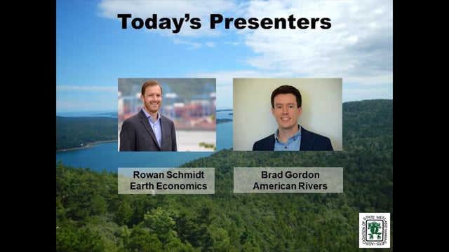
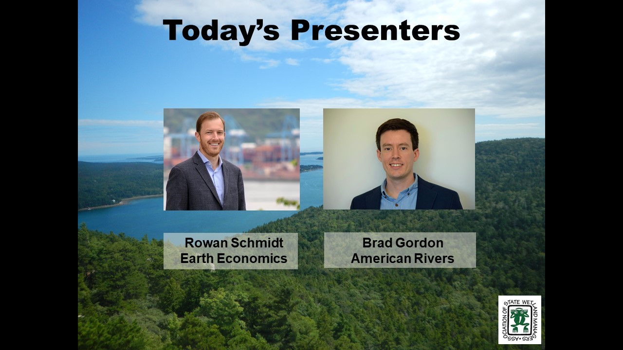
- Brad Gordon, Lapham Fellow at American Rivers [PRESENTATION PDF]
- Rowan Schmidt, Program Director, Earth Economics [PRESENTATION PDF]
ABSTRACTS
Brad Gordon
Policy Barriers and Solutions for Restoring Row Crops to Floodplains
American Rivers has been working with partners to restore more floodplains in the Upper Mississippi River Basin. Most of our current projects are targeting repetitively flooded cropland to restore to natural floodplains. Through these projects, we have discovered some barriers that, if addressed, could lead to more restoration projects in the basin. Some current efforts include directing nutrient pollution reduction funds toward floodplain restoration, providing economic analyses for farmers in the floodplain, and fast-tracking disaster relief to floodplain easements. While the barriers are becoming clearer, we still need to connect the dots between more on-the-ground needs and solutions.
Rowan Schmidt
Leveraging FEMA Funding for Nature-Based Solutions to Support Hazard Mitigation
Natural disasters such as floods, wildfires, and droughts are increasing in frequency and severity in the US. FEMA has begun to recognize and emphasize the value of investing in the conservation and stewardship of healthy landscapes for mitigating the impacts of floods, wildfires, and droughts, as reflected by recent policy updates in 2013 and 2016, and is also placing a greater emphasis on proactive investments before disasters occur (PDM). Earth Economics supported FEMA on the economics behind their 2013 and 2016 policies and has been supporting partners in CA (post-wildfire), TX (post-Harvey) and other states to navigate these opportunities, conduct benefit-cost analysis, and apply for HMPG funding for projects that have overlapping conservation and hazard mitigation benefits.
Please click only once on each video recording to view in this window.
Part 1: Introduction: William Dooley, Policy Alnalyst & Marla Stelk, Executive Director, ASWM
Presenter: Rowan Schmidt, Program Director, Earth Economics

View Past Natural Floodplain Functions Alliance Webinars
PDF List of Past Natural Floodplain Functions Alliance Webinar Recordings
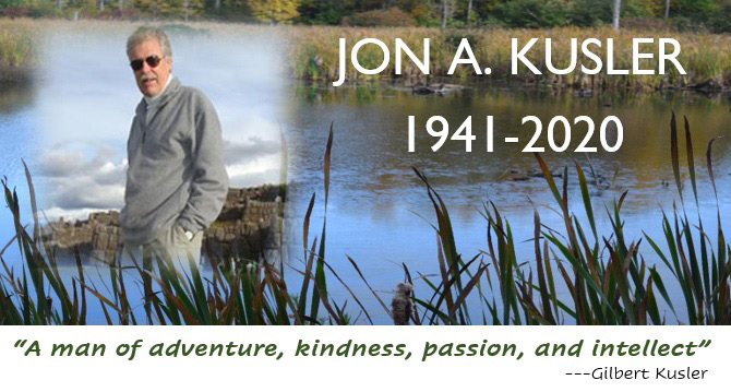
July 25, 1941 – October 8, 2020
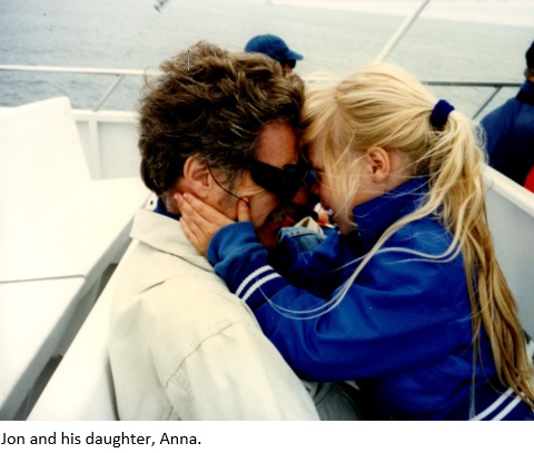
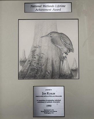
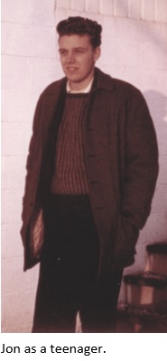
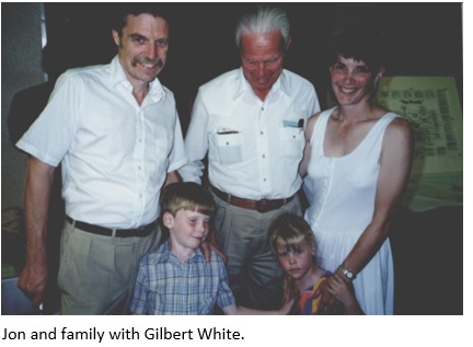
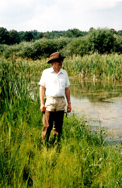 On Thursday, October 8th, 2020, NAWM’s founder, Dr. Jon A. Kusler, Esq. passed away peacefully with his family by his side after heroically battling Multiple System Atrophy for more than a year. The global community of wetland and floodplain managers, scientists, policymakers, lawyers and practitioners have lost a colleague, a mentor and a friend. Jon paved the way for wetland and floodplain protection around the world, challenging us to think beyond the norm – to find new and innovative ways to solve some of our most pressing environmental issues. As a way to provide a place for communal reflection and to celebrate Jon’s life, NAWM has created a memorial page on its website where staff will be posting messages shared by those who knew Jon. If you would like to share a story or a sentiment on the page, please go here.
Jon A. Kusler Student Scholarship Award
In honor of Dr. Jon A. Kusler, Esq., founder of the Association of State Wetland Managers, Inc. (dba National Association of Wetland Mangers (NAWM), NAWM has established the Jon A. Kusler Student Scholarship Award, a competitive award to fund all expenses for one or more U.S.-based students studying wetland science, law or policy (either undergraduate or graduate level) to attend NAWM’s annual State/Tribal/Federal Coordination meeting. Jon's family has requested that any monetary gifts in Jon's memory be contributed to the fund to continue his legacy for years to come. Contributions to the scholarship award will ensure that Jon’s legacy lives on by building the capacity of the next generation to protect and restore our nation’s wetlands.
Contributions to the award can be made on NAWM's donation page here.
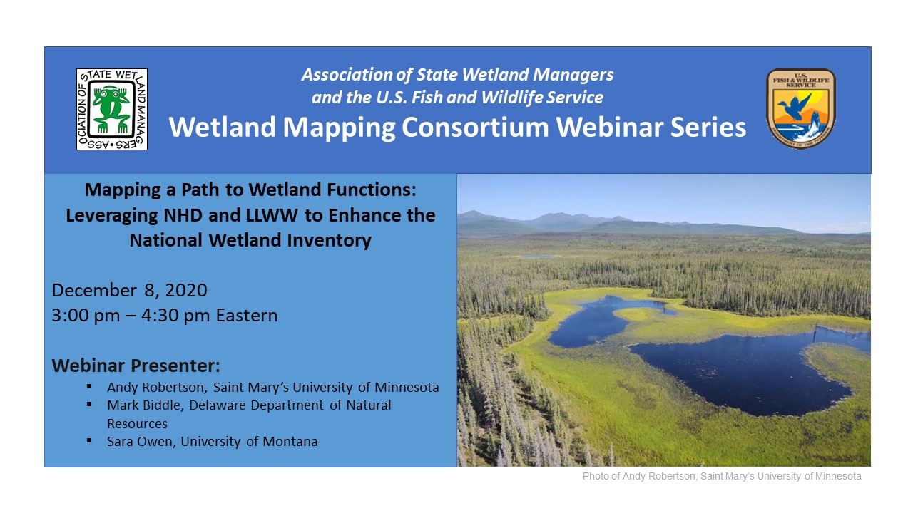
Mapping a Path to Wetland Functions: Leveraging NHD and LLWW to Enhance the National Wetland Inventory
Tuesday, December 8, 2020 - 3:00pm-4:30pm Eastern
INTRODUCTION
William Dooley, Policy Analyst, Association of State Wetland Managers[PRESENTATION PDF]
PRESENTERS
- Andy Robertson, Saint Mary's University of Minnesota [PRESENTATION PDF]
- Mark Biddle, Delaware Department of Natural Resources [PRESENTATION PDF]
- Sara Owen, University of Montana [PRESENTATION PDF]
ABSTRACTS
Andy Robertson
This presentation provided a short overview and application of the LLWW classification for wetland inventory and landscape level functional assessment. It highlighted the academic origins, relationship to NWI, initial application areas and national expansion.
Mark Biddle
The State of Delaware is fortunate to frequently map and track wetland acreage and functional health, and recently completed the 4th iteration of wetland mapping statewide. This spatial data includes both Cowardin, et al. and LLWW classifications and provides the opportunity to assess changes that happened between 2007 and 2017, which will be available in a status and trends report. There are significant differences with this mapping effort which include the use of the National Wetland Inventory Version 2.0 procedure that incorporates the National Hydrography Dataset, and the presentation will discuss results of the mapping effort.
Sara Owen
The foundational classification system for the National Wetlands Inventory (NWI) is the Cowardin classification. This system captures vegetation and water regime characteristics of wetlands that were of particular interest to wildlife managers when the system was developed, but it does not address functions such as water storage or nutrient cycling. LLWW draws on a wetland’s hydrogeomorphic properties, in combination with its Cowardin attribute, to assign potential function. The University of Montana developed an automated model to assign LLWW codes, following the 2018 Western-specific LLWW key. This presentation discussed the model’s processes and outputs and suggests ways it can be used to guide decision making.
BIOS
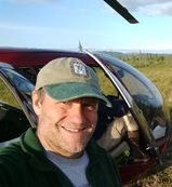 Andy Robertsonis currently Executive Director of GeoSpatial Services at Saint Mary’s University of Minnesota. In this role, Andy is responsible for oversight and management of all GeoSpatial Services projects, activities and staff. GeoSpatial Services is engaged in a wide variety of projects across the Lower 48 and Alaska including: wetland inventory; National Hydrography Dataset updates; spatial data development; and natural resource condition assessments. GeoSpatial Services has been a key partner of the USFWS and has been working for over 18 years to update legacy National Wetland Inventory data across the nation. Andy is a steering committee member for the ASWM Wetland Mapping Consortium, an ASWM Board Member and is past-chair of the Alaska GeoSpatial Council Wetland Technical Working Group.
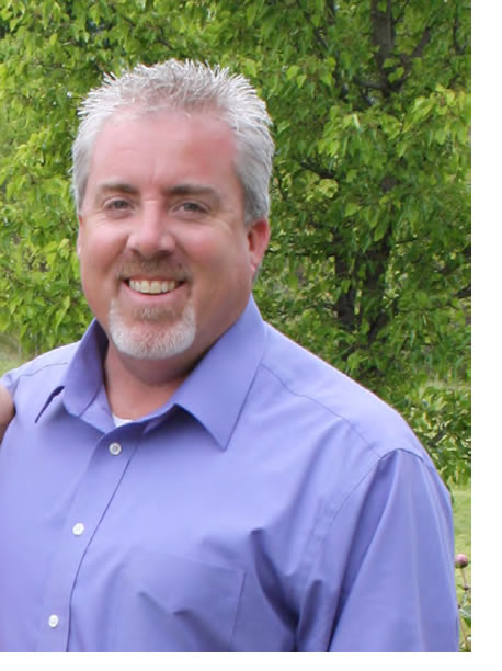 Mark Biddle is an Environmental Program Manager with the Delaware Department of Natural Resources and Environmental Control, and is a certified Professional Wetland Scientist. Mark has 30 years of wetland work involving restoration and creation, monitoring and assessment, mitigation, permitting, comprehensive watershed planning, use of best management practices to address environmental impairments, and has conducted multiple wetland mapping efforts. Mark also serves as Board Chair for ASWM.
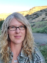 Sara Owen began her wetland career as a teenage field assistant helping her dad delineate wetlands in the swamps of southern Arkansas, where she immediately fell in love with field ecology. In college and graduate school she took a slight detour from wetlands to study stream ecology, but found her way back to wetlands first as a private consultant, then as a field ecologist and wetland mapper at the University of Montana, where she has been since 2011. Sara is currently the Wetland Mapping Projects Manager for the Ecological Mapping, Monitoring and Assessment workgroup at the University of Montana’s O’Connor Center for the Rocky Mountain West where she oversees NWI mapping projects across the West. When time allows, she still gets to play field ecologist, botanist, or dirt digger in a variety of ecosystems, including streams, wetlands, and occasionally, rangelands. Sara enjoys being outdoors and spends as much time as she can outside for work and play, where the lines sometimes blur. She published her first book this past summer (a direct product of that detour back in college), an educational children’s adventure showcasing the hidden lives of aquatic macroinvertebrates entitled Seth and Mattie’s Big River Adventure.
Please click only once on each video recording to view in this window.
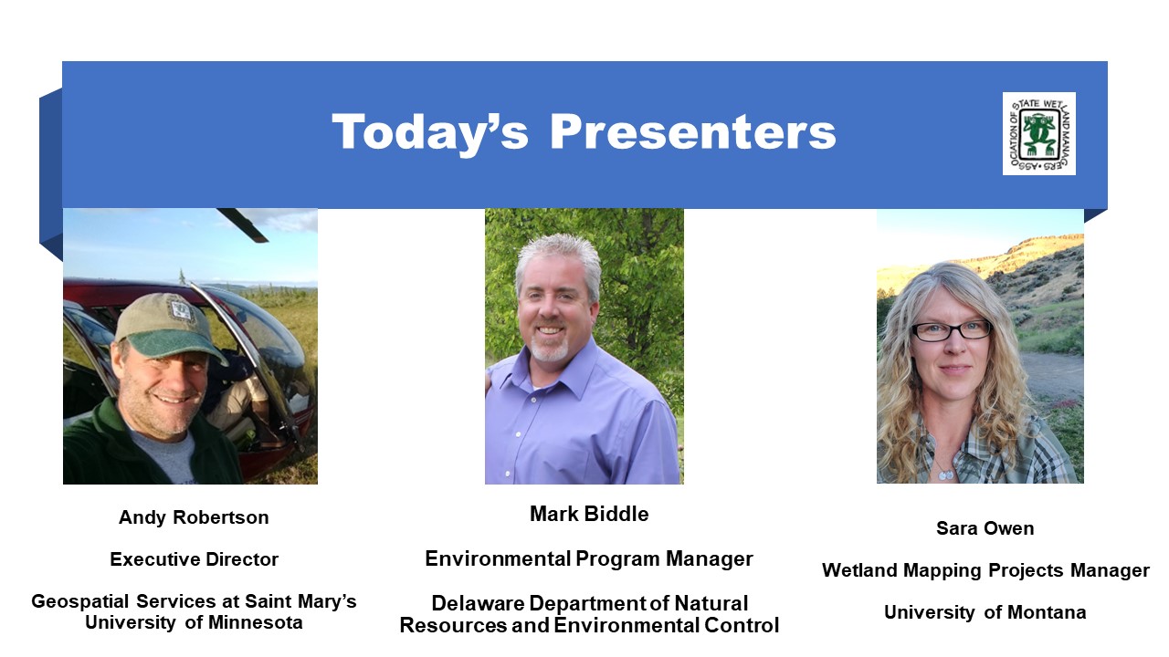
Part 1: Introduction: William Dooley, Policy Analyst,Association of State Wetland Managers
Presenter: Andy Robertson, Saint Mary's University of Minnesota
Automating the Detection of Disturbances to Aquatic Resources
Held Wednesday, October 7, 2020 - 3:00pm-4:00pm Eastern
INTRODUCTION
William Dooley, Policy Analyst, Association of State Wetland Managers [PRESENTATION PDF]
PRESENTER
- Melanie Vanderhoof, U.S. Geological Survey, Geoscience and Environmental Change Science Center [PRESENTATION PDF]
ABSTRACT
We presented an unsupervised automated approach to map disturbance and surface inundation extent across the Mid-Atlantic Region using the Landsat archive in Google Earth Engine. This approach can be used to identify aquatic resources potentially impacted by changes in land use. The presentation built upon the preliminary results presented in the August 2019 Wetland Mapping Consortium webinar. The focus of this presentation, instead, however, was on our published products and code. The code will enable users to test out the algorithms in the area of their choice, without needing to generate independent training data.
BIO
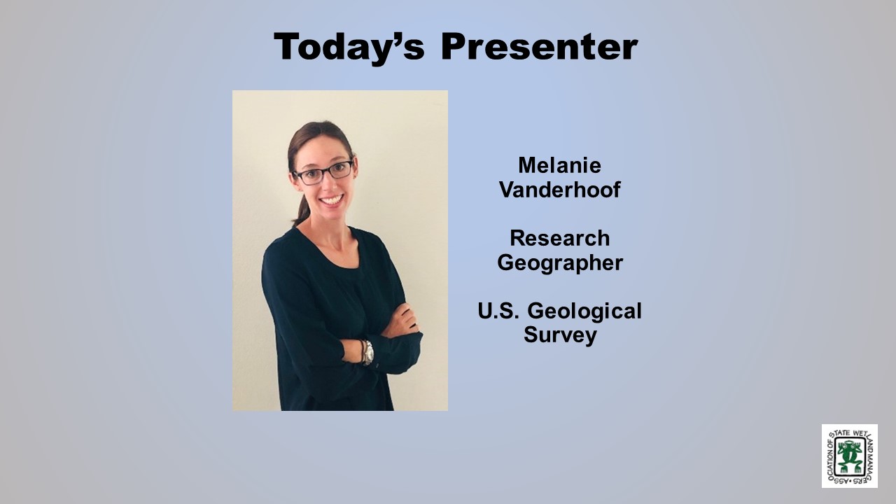
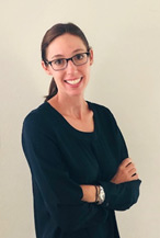 Melanie Vanderhoof is a Research Geographer with the U.S. Geological Survey, Geoscience and Environmental Change Science Center in Denver, Colorado. Melanie has a background in environmental regulations having previously worked as a biologist in the consulting industry prior to returning to graduate school. She received her PhD in Geography from Clark University in 2014. Following an ORISE post-doc with the U.S. EPA, Office of Research and Development, she joined the U.S. Geological Survey in 2015. Her research uses satellite imagery to explore how ecosystems respond to disturbance events and climate extremes. In recent years her research has focused on both wetland and river system dynamics as well as patterns in post-fire condition and regeneration. She is particularly interested in efforts to distinguish changes induced by climate anomalies from land use-related change.
Please click only once on each video recording to view in this window.
Part 1: Introduction: William Dooley, Policy Analyst,Association of State Wetland Managers
Presenter: Melanie Vanderhoof, U.S. Geological Survey, Geoscience and Environmental Change Science
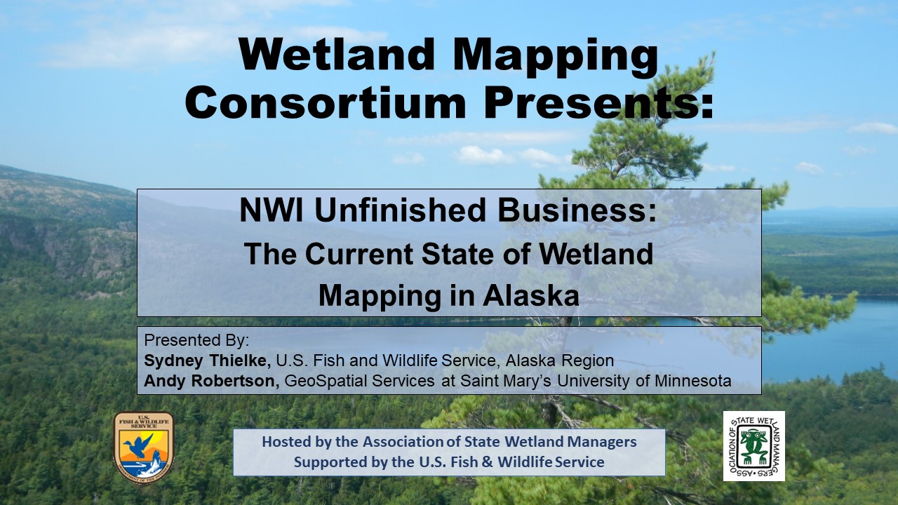
NWI Unfinished Business: The Current State of Wetland Mapping in Alaska
Held Wednesday, February 12, 2020 - 3:00pm-4:30pm Eastern
INTRODUCTION
William Dooley, Policy Analyst, Association of State Wetland Managers [PRESENTATION PDF]
PRESENTERS
- Sydney Thielke, Regional Wetlands Coordinator, U.S. Fish and Wildlife Service, Alaska Region [PRESENTATION PDF]
- Andy Robertson, Director, GeoSpatial Services, Saint Mary's University of Minnesota [PRESENTATION PDF]
ABSTRACT
Alaska is one-fifth the size of the entire United States and is the only state with land area north of the Arctic Circle. Approximately 65% of the nation's wetlands are located in the Alaska covering 174 million acres, or 43%, of the State's surface area. Despite its resource potential and global position, Alaska has the most limited wetland geospatial data coverage of all states in the nation. Accurate, detailed geospatial information that meets national standards is lacking for more than half of the state, adding costs to responsible development, permitting and resource conservation decisions, delaying or preventing adequate response to natural disasters and emergencies, and preventing effective measurement and monitoring of ecological processes.
The US Fish and Wildlife Service through the National Wetland Inventory Program (NWI) has the lead Federal role for developing a statewide wetland spatial database for Alaska. NWI staff have been working closely with the Alaska GeoSpatial Council Wetlands Technical Working Group to develop a strategy for completion of a statewide wetland spatial database that is compliant with national mapping standards. The first part of this presentation summarized efforts to date, detailed the partnership strategy and discussed funding opportunities and mapping standards. In the second part of the presentation, technical details of on-going wetland mapping in Alaska were summarized and new/emerging technologies and image sources were discussed. The presentations was supported by examples and graphics from current projects across the state.
Tune in to learn more about how we are addressing NWI Unfinished Business through creative collaboration, interagency partnerships, cooperative funding approaches and new technologies.
BIOS
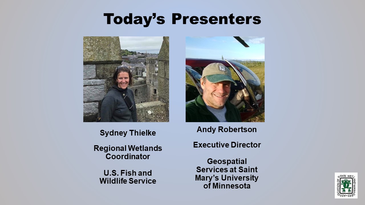
 Sydney Thielke is the Regional Wetlands Coordinator for the U.S. Fish and Wildlife Service in Anchorage, Alaska. Sydney grew up in Alaska and has a B.S. in Land Resources Analysis and Management from Montana State University and a M.S. in Applied Geographic Information Sciences from Northern Arizona University. Before coming to U.S. FWS Sydney worked for the Bureau of Land Management and Natural Resources Conservation Service on a variety in a variety of resource management and geographic information capacities.Andy Robertson is currently Executive Director of GeoSpatial Services at Saint Mary’s University of Minnesota. In this role, Andy is responsible for oversight and management of all GeoSpatial Services projects, activities and staff. GeoSpatial Services is engaged in a wide variety of projects across the Lower 48 and Alaska including: wetland inventory; National Hydrography Dataset updates; spatial data development; and natural resource condition assessments. GeoSpatial Services has been a key partner of the USFWS and has been working for over 18 years to update legacy National Wetland Inventory data across the nation. Andy is a steering committee member for the ASWM Wetland Mapping Consortium, an ASWM Board Member and is past-chair of the Alaska GeoSpatial Council Wetland Technical Working Group.
Please click only once on each video recording to view in this window.
Part 1: Introduction: William Dooley, Policy Analyst, Association of State Wetland Managers
Presenter: Sydney Thielke, Regional Wetlands Coordinator, U.S. Fish and Wildlife Service, Alaska Region
View Past Wetland Mapping Consortium Webinars
PDF List of Past Wetland Mapping Consortium Webinar Recordings
View Upcoming Wetland Mapping Consortium Webinars
Thank you for considering Sponsorship with the National Association of Wetland Managers (NAWM)
The mission of NAWM is to build capacity for state and tribal members and foster collaboration among the wetland community of practice by encouraging the application of sound science to wetland management and policy, promoting the protection and restoration of wetlands and related aquatic resources, and providing training and education for members and the general public.
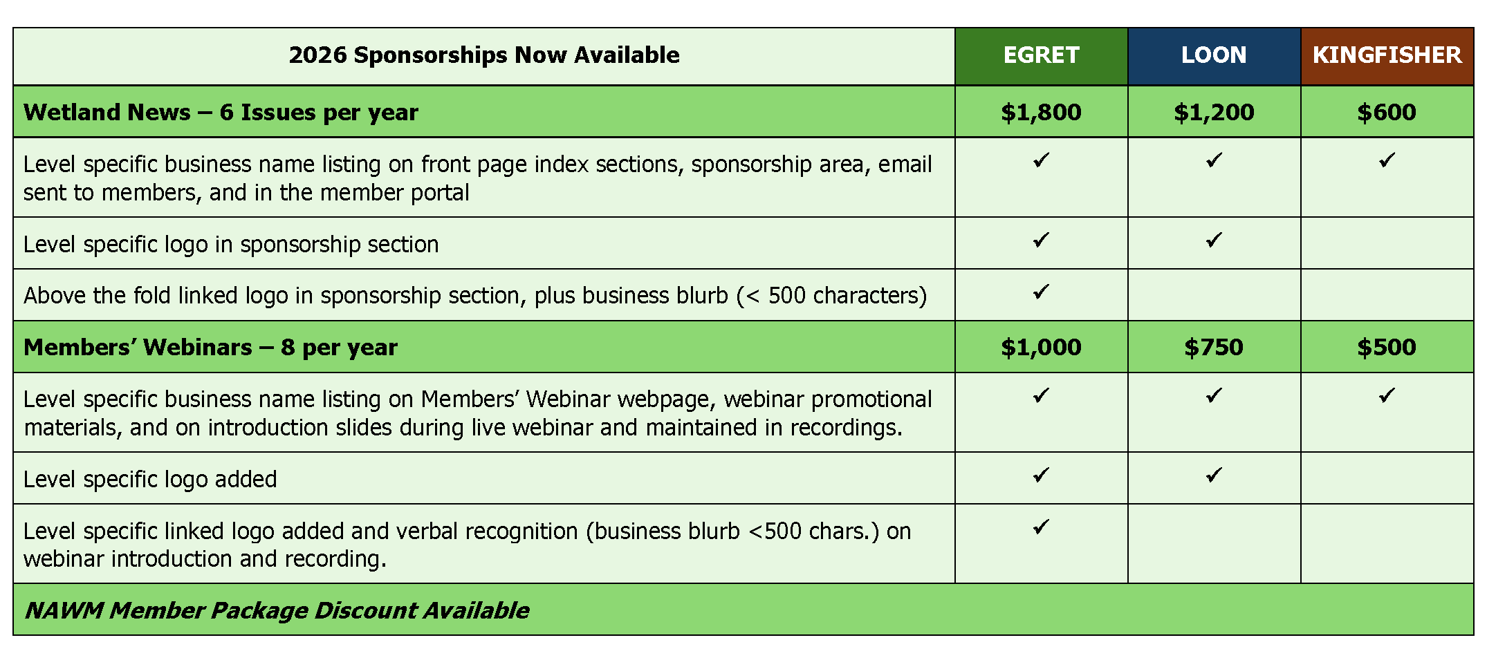
Sponsorship helps NAWM respond to and stay on top of policy and practices vital to saving our nation’s wetlands. Sponsorship is also a great way to increase your organization’s visibility while supporting a good cause. Our e-newsletter, webinar, and annual meeting outreach spans over 20,000 wetland professionals in our network including state, tribal and federal policy experts.
Sponsorship Opportunities:
Wetland News – our membership newsletter is published every other month and is sent to over 1,000 NAWM Members, providing wetland updates and featured articles from a variety of wetland voices. This publication is an invaluable resource to members, who may not otherwise have access to wetland-specific findings or information that is not published elsewhere.
NAWM Members’ Webinar Series – NAWM is passionate about knowledge sharing. For over 40 years, NAWM has made it a priority to provide training and education for our members and is recognized nationally as a leader in providing professional, informative, and innovative webinars on diverse wetland topics. Our Members’ Webinar Series brings together audiences rarely found in other platforms. The webinars are also recorded and placed in our on-demand online library, which provides additional exposure for your business.
NAWM Annual State / Tribal / Federal Coordination Meeting – Be a part of this great event! NAWM’s Annual State/Tribal/Federal Coordination Meeting will be held on April 27-30, 2026, at the National Conservation Training Center, WV.
Contact*: Laura Burchill at (207) 892-3399; laura@nawm.org for more information.
Thank you.
View or Print as PDF
Adaptation & Resiliency for the Advancement of Wetland Science, Policy and Practice
We thank your for joining us for ASWM’s Annual State/Tribal/Federal Coordination Meeting, held virtually April 12-15, 2021. The purpose of this annual meeting was to support state and tribal wetland program managers, and other wetland professionals as they respond to challenges in the coming year. This year’s annual meeting was dedicated to the memory and legacy of ASM’s founder, Dr. Jon A. Kusler, Esq.
|
Focus Areas for This Year’s Meeting Include:
|
INDEX |
Agenda can be downloaded here. (Posted 4/7/21)
See Meeting Materials Here (Includes Biographies; Abstracts)
Please see our Sponsor Exhibit page for more information.
Thank you to our Osprey Sponsor!
Thank you to our Loon Sponsor!
Thank you to our Kingfisher Sponsors!
Contact Information
If you have any questions, please feel free to reach out to Marla Stelk, ASWM Executive Director, at marla@nawm.org or by phone at 207-892-3399.
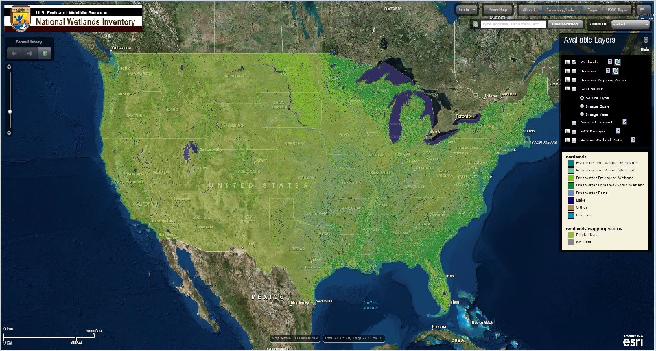 The Wetland Mapping Consortium (WMC), founded in 2008, is an interdisciplinary group of wetland scientists and managers interested in mapping and monitoring wetlands with remotely sensed images and/or using the resultant products to best manage wetland resources. The WMC Steering Committee organizes webinars on topics of interest to the group.
For more information and/or to join our email list for notices about upcoming events, please contact Laura Burchill at laura@nawm.org or (207) 892-3399.
View Past Wetland Mapping Consortium Webinars Here
View a List of Wetland Mapping Consortium Webinar Recordings Here

National Association of Wetland Managers - Staff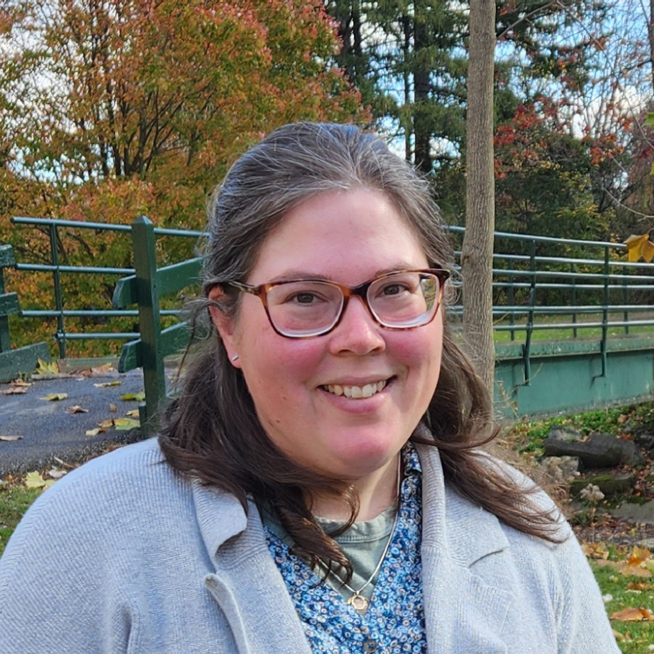 Portia Osborne, Executive Director (portia@nawm.org)
Portia is the Executive Director at the National Association of Wetland Managers (NAWM). She has worked on wetland policy and management issues at NAWM since 2022, including leading projects to build the capacity of state and Tribal wetland programs across the country, planning workshops and training events, and coordinating with NAWM members on wetland policy changes. Before coming to NAWM, Portia spent a decade working in environmental consulting, during which time she conducted natural resource assessments and wetland delineations and prepared state and federal permit applications for transportation, oil and gas, and renewable energy projects across the country. Portia earned her MS in Ecology and BS in Environmental Biology from the State University of New York College of Environmental Science and Forestry (SUNY-ESF). Portia loves all wetlands but is particularly fond of the salt marshes in southern Maine and the peatlands found in her native Adirondack Mountains. Donna Downing, Senior Legal Policy Advisor (donna@nawm.org)
Donna Downing is the Senior Legal Policy Advisor at the National Association of Wetland Managers. Donna was the Jurisdiction Team Leader in the U.S. Environmental Protection Agency’s (EPA) Office of Wetlands, Oceans, and Watersheds from 2007-2020. Donna worked on a variety of issues at EPA, with a focus in recent years on the geographic scope of the Clean Water Act (CWA) in light of the U.S. Supreme Court decisions. She also served as EPA’s staff lead for CWA section 401 water quality certification, and on wetland-related legal issues. Prior to joining EPA in 1998, Donna worked for the U.S. Congress Office of Technology Assessment and in private law practice. She has a BA magna cum laude from Harvard University, an MPP from the University of California at Berkeley, a JD cum laude from Georgetown University Law School, and an LLM in Environmental Law summa cum laude from George Washington University Law School. Donna has been an adjunct professor at George Washington University Law School since 1996, teaching environmental law. In what’s left of her time, she moonlights as a professional potter and an unprofessional horse trainer. Donna also enjoys traveling and has traveled by reindeer sled in the Swedish Arctic, gone winter camping with dog sleds in Minnesota’s Boundary Waters Wilderness Area, and bicycled the Burma Road in China.
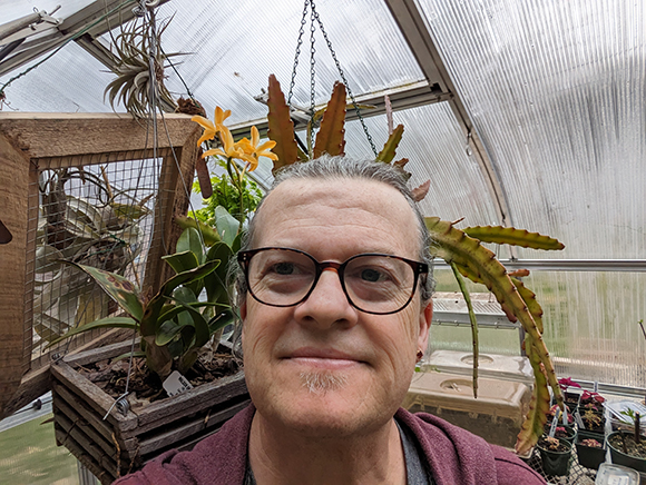 Jeff Lapp, Senior Science Policy Advisor (jeff@nawm.org)
Jeff is our Senior Science Policy Advisor here at NAWM. Prior to joining us he spent over 32 years with the Environmental Protection Agency, primarily in the wetlands program. Starting out in the wetlands enforcement program in Region 3, he conducted many wetland inspections and has testified as both an expert and fact witness in civil and criminal federal cases. For the past 12 years, Jeff has been the Chief of the Wetlands Branch at EPA Region 3 overseeing both the regulatory and non-regulatory wetlands programs, the oceans disposal program and the Watershed Resource Registry (a Geospatial tool to identify potential restoration and preservation sites.) He has also had a host of acting positions including the Deputy Director for the Environmental Assessment and Innovation Division, the Deputy Director for the Office of Public Affairs, the Wetlands Regulatory Branch Chief at EPA Head Quarters and the Wetlands Technical Enforcement Lead at EPA Head Quarters. His technical skills include conducting wetlands identification training for both novice and experienced delineators from state and federal programs. In addition to teaching wetlands delineation, he has taught cases in hydric soils and plant identification and been a guest lecturer at Penn and Temple University on wetlands and horticultural issues. An avid botanist and horticulturalist, Jeff designed and constructed the EPA exhibit at the Philadelphia Flower Show for 29 years earning several awards including best of show, gold and silver medals, the Buckley medal, American Horticultural Society award, and the Chicago Horticultural Society awards to name a few. At his home, he raises a multitude of plants including Sarracenia, Rhododendrons, Hosta and a host of other rare and unusual species in his greenhouse and shade houses. When not working for NAWM or messing with his plants he like to ride bike, hike, cook and sip a spot of wine! 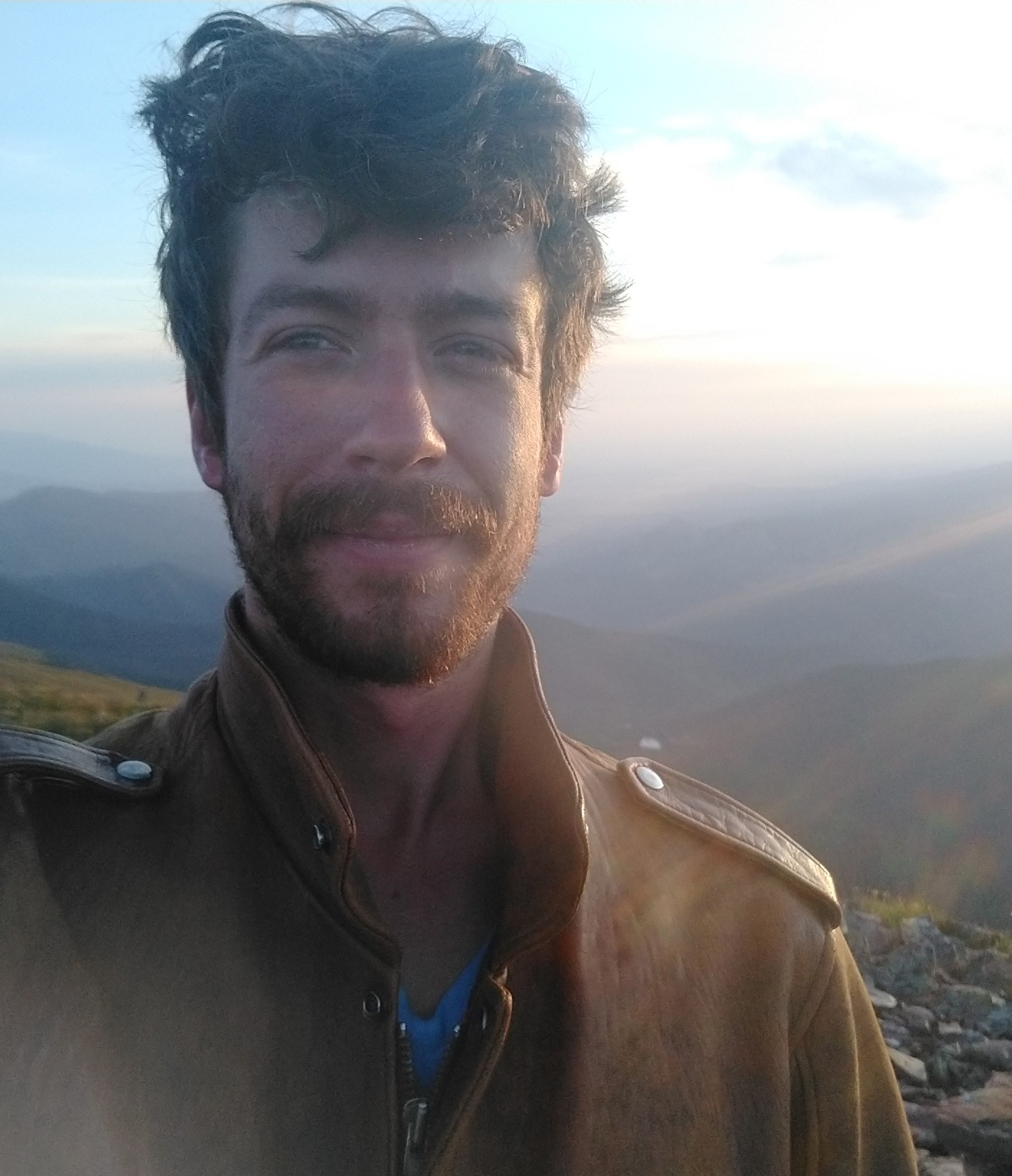 Ian Grosfelt, Environmental Analyst (ian@nawm.org)
Ian is an Environmental Analyst with NAWM wearing a variety of hats and working on a variety of projects. He has a BS in Agriculture from Cornell University and a Masters of Environmental Management from the Yale School of the Environment. Ian has a decade of experience working in environmental fields starting as a Peace Corps Volunteer in Senegal and continuing with environmental education organizations throughout New England as a facilitator, school gardener, and trainer. He is also trained in data analysis and geospatial mapping and has a passion for using these tools to further effective conservation. For side projects you can find Ian trying (and hopefully keeping) his hand at woodworking, biking new routes in Maine and building up a kitchen repertoire.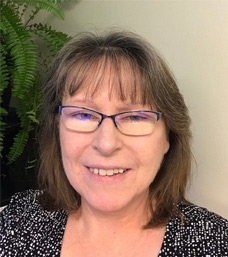 Laura Burchill, Office Manager (laura@nawm.org)
Laura is the Office Manager in the Windham office and has been with the Association since 2004. She is responsible for maintaining the membership information; assisting with the many tasks involved in preparing for webinars and workshops, preparing Association publications as well as general office duties. She has 30+ years’ experience in graphic design and also works part-time for Parent & Family, a local publication. She lives in Windham, Maine with her husband Dave and their canine companion Jay.
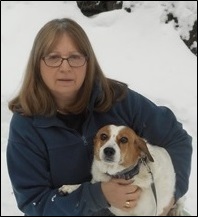 Sharon Weaver, Webmaster (sharon@nawm.org)
Sharon is the Publications Specialist and Webmaster for the Association in the Berne, New York office, where she has worked for the past 20+ years. Along with general office tasks, she works on the layout and design of Association publications, reports, and brochures. She helps coordinate NAWM workshops and symposia. She manages the NAWM website, which includes daily updates and prepares and designs new webpages. When she is not entertaining company, she enjoys some alone time with her husband, Ken, and grown children Karla and Pieter. She adores her dog and cats, who complete the family nest.
Publications
 The Association conducts research and publishes reports, guidebooks, news articles, brochures, white papers, and summaries of findings of symposia and workshops. These are available electronically to all interested individuals and organizations.