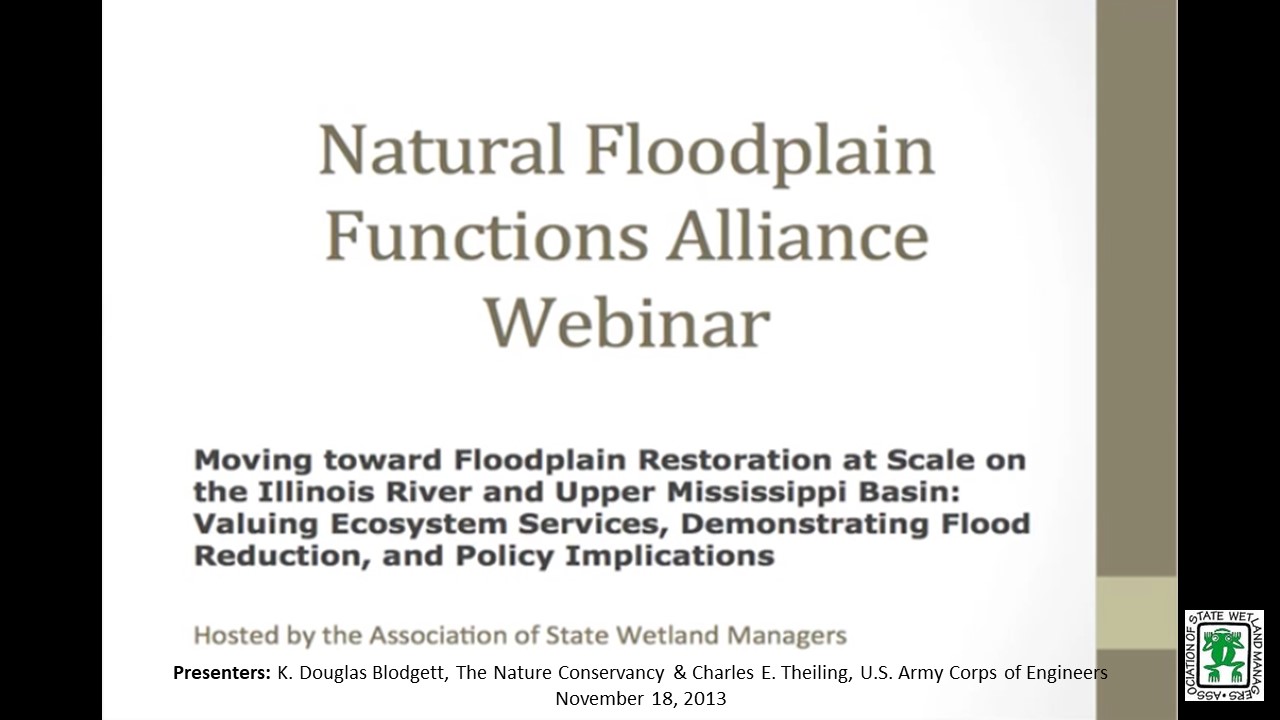
Moving toward Floodplain Restoration at Scale on the Illinois River and Upper Mississippi Basin: Valuing Ecosystem Services, Demonstrating Flood Reduction, and Policy Implications
Monday, November 18, 2013 – 3:00 p.m. EST
INTRODUCTION
- Jeanne Christie, ASWM [PRESENTATION-PDF]
PRESENTERS
- K. Douglas Blodgett, Director of River Conservation, The Nature Conservancy in Illinois [PRESENTATION-PDF]
- Charles E. Theiling, Large River Ecologist, U.S. Army Corps of Engineers Rock Island District [PRESENTATION-PDF]
A growing number of projects are demonstrating the effectiveness and value of functioning floodplain systems in providing society with diverse benefits such as flood reduction and conveyance, water quality improvements, increased recreation, and enhanced fish and wildlife habitat. Beyond local returns, some of these projects help to reveal needs and opportunities to change policies and programs in order to expand and more fully realize the social benefits of floodplain protection and restoration. This webinar will present two such projects in the Upper Mississippi Basin, including a preliminary ecosystem service valuation of alternative floodplain management scenarios in the St. Louis region and a comparison of the flood reduction benefits of reconnected floodplain along two reaches of the Illinois River during the record 2013 flood. Technical insight gained from these projects will be synthesized, along with key lessons related to existing policies and programs and their effectiveness in enabling public-private partnerships.
Part 1: Introduction: Marla Stelk, ASWM
Presenter: K. Douglas Blodgett, Director of River Conservation

![]()
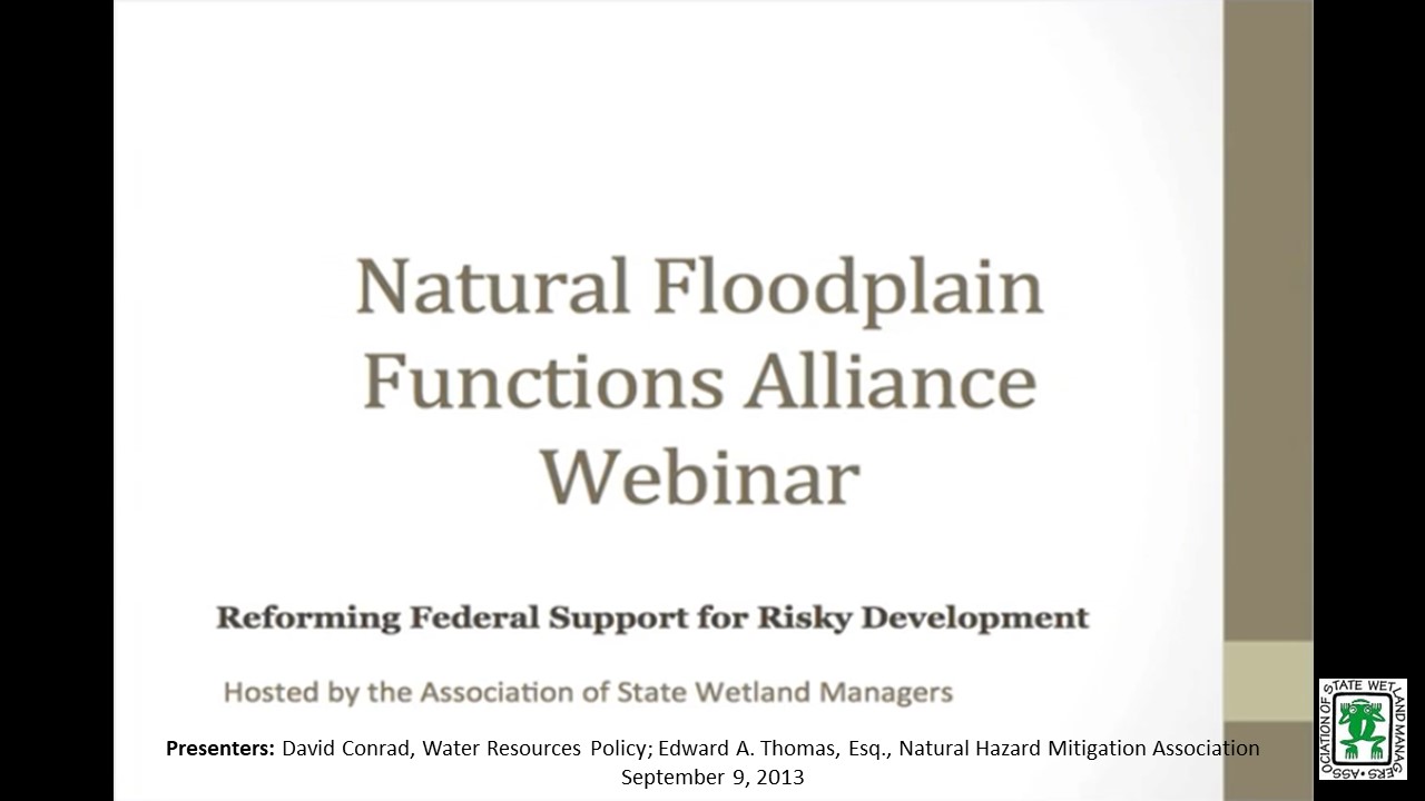
Reforming Federal Support for Risky Development
Monday, September 9, 2013 – 3:00 p.m. EST
INTRODUCTION
- Jeanne Christie, ASWM [PRESENTATION-PDF]
PRESENTERS [PRESENTATION-PDF]
- David Conrad, Consultant, Water Resources Policy
- Edward A. Thomas, Esq. President, Natural Hazard Mitigation Association
We are continuing to experience increasingly costly and damaging natural disasters; physical, emotional, economic losses are escalating wildly. At the same time, the proportion of costs borne by Federal taxpayers, society as a whole, and disaster victims/survivors is also rising alarmingly. We must and should make changes in federal policy that can best reduce the mounting toll of these hazards. Our guiding principle should be: the best disaster response and recovery is when no disaster response and recovery is required due to safe & proper planning, land use, and building codes that prevent disasters from occurring in the first place. Disaster Mitigation & Climate Adaptation should be incorporated into a much broader range “Whole Community” approach to planning and economic development programs: by reducing subsidies that underwrite or promote risky development and by better leveraging Federal and State programs to support and encourage wise State and Local land-use, hazard risk reduction and protection and restoration of natural ecosystems and natural hazard risk-reduction “services.” A recent case decided by the US Supreme Court, Koontz v. St. Johns River Water Management District, may offer a path forward based on the idea of using harm prevention as a fundamental foundational basis of planning community development, climate adaptation, and hazard mitigation.
The webinar is based on a paper with the same title authored by the presenters and published by the Brookings Institution’s Hamilton Project in February 2013.
Part 1: Introduction: Jeanne Christie, ASWM
Presenter: David Conrad, Consultant, Water Resources Policy
![]()
Informing Flood Mitigation with Ecosystem Service Valuation: An Introduction to the Ecosystem Valuation Toolkit
Monday, June 17, 2013 – 3:00 p.m. EST
INTRODUCTION
- Jeanne Christie, ASWM [PRESENTATION-PDF]
PRESENTER
- Zac Christin, Earth Economics [PRESENTATION-PDF]
All federal and state agencies, cities, counties and many private firms utilize benefit-cost analysis to make investment decisions and allocate resources, but most often these decisions are made without taking into account the value of ecosystem services. In early 2012, Earth Economics conducted an analysis of ecosystem service valuation implementation nationally for FEMA’s Benefit Cost Analysis Toolkit, to be released in version 5.0. FEMA will be the first federal government organization to incorporate environmental benefits to the BCA process.
This webinar will introduce the Ecosystem Valuation Toolkit (EVT), a web-based ecosystem service value exchange platform for rapidly appraising the value of ecosystem services in natural floodplains to inform benefit-cost analysis. EVT is a toolkit for translating the values provided by natural systems or damage to these systems, linking the understanding provided by natural sciences and the implementation of change enabled by good investment, markets and economic decision-making.
Part 1: Introduction: Jeanne Christie, ASWM
Presenter: Zac Christin, Earth Economics
![]()
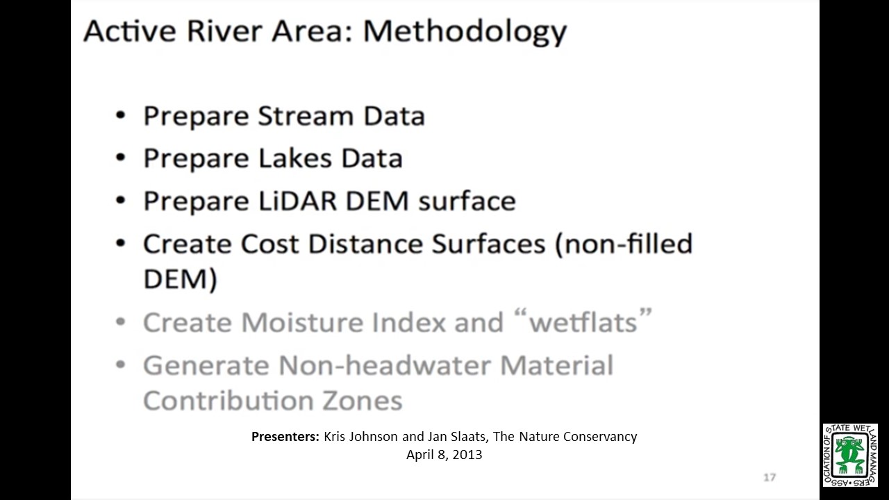
Mapping Floodplains in Iowa Part II
Monday, April 8, 2013 – 3:00 p.m. EST
INTRODUCTION
- Jeanne Christie, ASWM [PRESENTATION-PDF]
PRESENTERS [PRESENTATION-PDF]
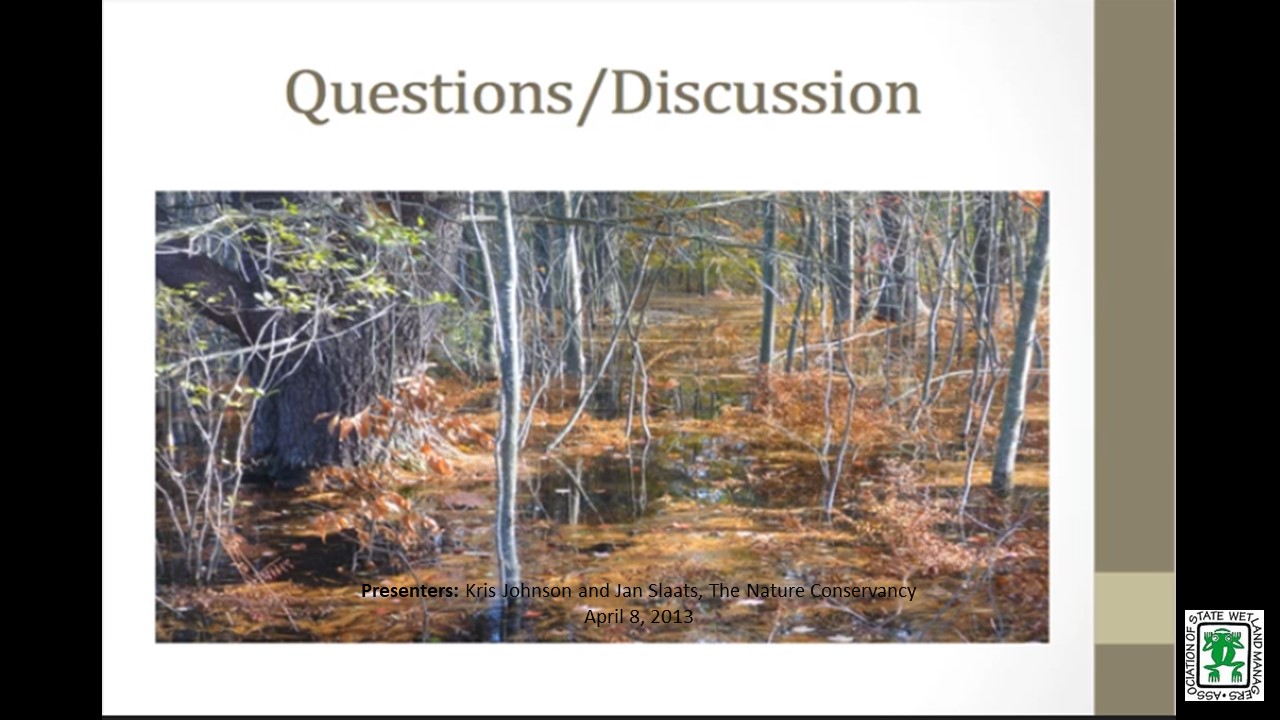
- Kris Johnson, The Nature Conservancy
- Jan Slaats, The Nature Conservancy
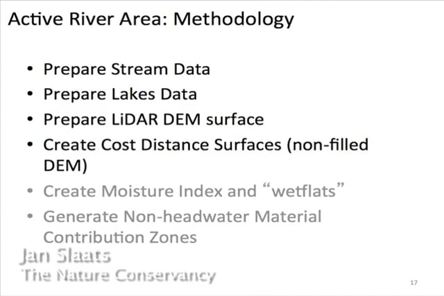
The Iowa-Cedar Rivers Basin is home to Iowa’s largest university and second largest city and supports millions of acres of agriculture. Intensive land use and altered hydrology have resulted in erosion, loss of natural habitat and impacts on water quality from nutrients and sediment. Additionally, the Cedar River flood in 2008 devastated crops and property and caused more than $10 billion in damages in the region. This catastrophe prompted the creation of the Iowa-Cedar Watershed Interagency Coordination Team, a multi-agency, multi-stakeholder effort convened to reduce flood risk, improve water quality, and conserve habitat. The Nature Conservancy is supporting the work of the Interagency Team through identification, analysis and mapping of ecosystem services. A critical first step in this process is mapping the floodplain, and in this webinar we will discuss our approach for delineating the floodplain for the IA-Cedar Rivers Basin.
Part 1: Introduction: Jeanne Christie, ASWM
Presenter: Kris Johnson, The Nature Conservancy
![]()
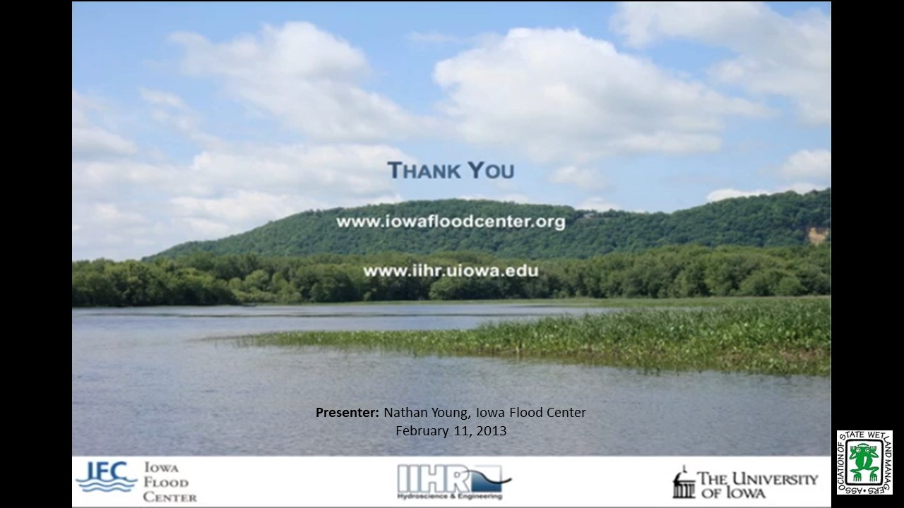
Iowa State Floodplain Mapping Program
Monday, February 11, 2013 – 3:00 p.m. EST
INTRODUCTION
- Jeanne Christie, ASWM [PRESENTATION-PDF]
PRESENTER
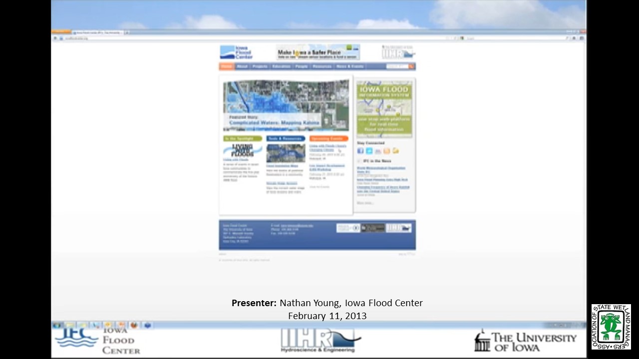
- Nathan Young, Iowa Flood Center [PRESENTATION-PDF]
In 2010, the state of Iowa received 15 million dollars in federal support to update and create floodplain maps for all Iowa counties declared federal disaster areas following the devastating 2008 Midwestern floods. In cooperation with the Iowa Department of Natural Resources, IFC is conducting a five-year effort to develop FEMA-compliant floodplain mapping data for all Iowa streams draining greater than one square mile. Taking advantage of statewide light detection and ranging (LiDAR) data, efforts will yield a detailed stream centerline network, computer-based flood simulations, and floodplain boundaries and depths associated with a range of annual exceedance probabilities. Mapping Floodplains in Iowa Part 1: This will be the first part of a two part series that will provide an overview of the comprehensive statewide project underway to map the natural floodplains of the entire state by the Iowa Floodplain Center. We are in the process of inviting them to present.
Part 1: Introduction: Jeanne Christie, ASWM
Presenter: Nathan Young, Iowa Flood Center


View Past Natural Floodplain Functions Alliance Webinars
PDF List of Past Natural Floodplain Functions Alliance Webinar Recordings Here