NAWM
The National Association of Wetland Managers is a nonprofit membership organization established in 1983 to promote and enhance protection and management of wetland resources, to promote application of sound science to wetland management efforts and to provide training and education for our members and the public. Membership is open to anyone who is involved with wetland resources.
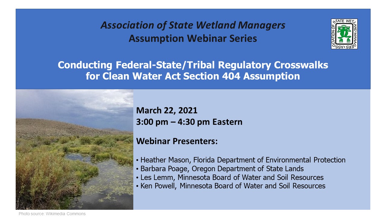
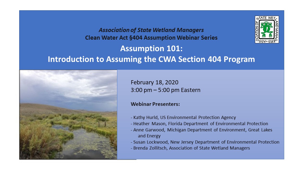
Conducting Federal-State/Tribal Regulatory Crosswalks for Clean Water Act Section 404 Assumption
Held Monday, March 22, 2021 - 3:00 – 4:30 pm Eastern
INTRODUCTION
- Brenda Zollitsch, Senior Policy Analyst, Association of State Wetland Managers [POWERPOINT PRESENTATION]
PRESENTERS [POWERPOINT PRESENTATION]
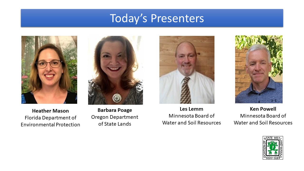
- Heather Mason, Florida Department of Environmental Protection
- Barbara Poage, Oregon Department of State Lands
- Les Lemm, Minnesota Board of Water and Soil Resources
- Ken Powell, Minnesota Board of Water and Soil Resources
ABSTRACT
In the assumption planning process, states and tribes must complete a regulatory crosswalk. The purpose of the crosswalk is to examine any differences between state and federal standards and to provide insights into any gaps that may need to be filled. The regulatory crosswalk allows states and tribes to show that the final program, when ready for assumption, provides a no less stringent than federal regulatory program. This webinar discussed the basics of regulatory crosswalks and provide three different experiences from states that have completed or are in the process of completing a regulatory crosswalk as part of their assumption planning process. Presenters included staff from Florida (which recently assumed the 404 Program), Oregon which has completed the crosswalk but is still in the process of developing their assumption package, and Minnesota, which is in the early phases of conducting their analysis. Each presenter shared when in the assumption process they conducted their crosswalk, what process and format they used to conduct it, and any challenges they encountered. They shared what their crosswalk found/is finding, whether there were any gaps or inconsistencies that needed to be addressed and how they filled them. Each presenter shared lessons learned and tips for others planning to conduct a regulatory crosswalk. The webinar ended with a Q&A session with the presenters.
BIOS Heather Mason is an Environmental Administrator at the Florida Department of Environmental Protection, leading the Submerged Lands and Environmental Resources Coordination program’s training and rulemaking team. Her team is currently working on Florida’s 404 assumption effort. Her education includes an M.S. in Environmental Science and B.S. in Environmental Management. She is also a certified Professional Wetland Scientist (PWS).
 Barbara Poage is a Hydrogeologist with 20+ years in environmental and hydrologic consulting for private sector, tribal, non-profit, industrial, and state and federal government. She has managed innumerable environmental investigation and remediation projects throughout the west coast, has served as a tribal Superfund (CERCLA) Program Manager in New Mexico, and has excelled in state and federal rule and statute application and interpretation throughout her career. She has worked for Oregon Water Resources Department in water rights for many years and is currently the Clean Water Act 404 Assumption Analyst for Oregon Department of State Lands. Barbara holds a Bachelor of Science in Geology from University of Idaho and a Masters in Hydrology from New Mexico Institute of Mining and Technology. As well, Barbara is an instrument-rated pilot and FAA Part 107 Certified sUAS (drone) Pilot Operator and small business owner (Right Strut Aviation LLC).
 Les Lemm is the Wetlands Section Manager for the Minnesota Board of Water and Soil Resources. He is responsible for overseeing implementation of the State Wetland Conservation Act, Minnesota’s comprehensive wetland protection law, including a robust wetland banking program. He has a variety of other experience, including working as a charter boat captain on Minnesota’s Lake of the Woods, a natural resource consultant, and the District Manager for the Lake of the Woods Soil and Water Conservation District. Les has a Bachelor’s degree in Natural Resource Management from the University of Minnesota and a Master’s degree in Resource Economics from North Dakota State University.
 Ken Powell is the Minnesota Wetland Conservation Act Operations Supervisor for the state’s wetland regulatory program. He has worked at the Minnesota Board of Water and Soil Resources for the last 14 years and has been a practicing wetland scientist and policy specialist since 1992. He earned a B.S. in Wildlife from the U. of Wisconsin-Stevens Point and an M.S. in Biology from Kansas State University.
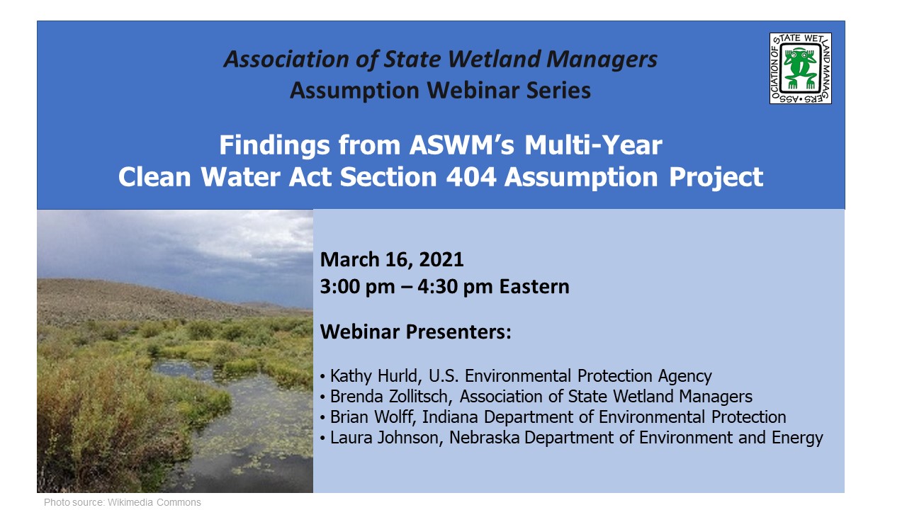
Findings from ASWM’s Multi-Year Clean Water Act Section 404 Assumption Project
Held Tuesday, March 16, 2021 - 3:00-4:30 pm Eastern
- Marla Stelk, Executive Director, Association of State Wetland Managers [POWERPOINT PRESENTATION]
PRESENTERS [POWERPOINT PRESENTATION]
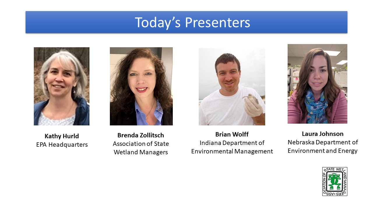
- Kathy Hurld, U.S. Environmental Protection Agency
- Brian Wolff, Indiana Department of Environmental Management
- Laura Johnson, Nebraska Department of Environment and Energy
- Brenda Zollitsch, Association of State Wetland Managers
ABSTRACT
This webinar will share the findings of the Association of State Wetland Managers (ASWM) multi-year project on assumption of the Clean Water Act Section 404 Program. The webinar will outline the key elements of a complete assumption package, walking through project findings on each element from ASWM’s multi-year project on assumption. The webinar will introduce participants to new resources developed through the project, including a matrix of existing examples of assumption package components, a checklist of considerations for those exploring assumption, and many support documents, as well as how to access ASWM’s archived assumption webinar series. The webinar will include basics for each element, as well as key lessons learned from states that have explored or are working towards assumption. The webinar will end with discussion about the new forthcoming Clean Water Act 404(g) Rule and some of the important things to look for when it is published (expected 2021). The webinar will include time for participants to ask questions of the panelists.
BIOS
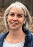 Kathy Hurld is an Environmental Protection Specialist with the U.S. Environmental Protection Agency (EPA) in Washington, DC. Her nearly 30 years’ experience working on ocean, coastal, wetland, agroforestry and other environmental issues, has taken her throughout the U.S. and internationally as she worked on both the local and international level. Currently, Kathy is the EPA’s staff lead on Clean Water Act Section 404(g) and works to assist states and tribes pursuing assumption of the program. Kathy has a BS in biology from Hope College and a Master’s in Public Administration from American University.
ASWM’s Assumption Project Workgroup Members have been meeting monthly for more than two years. Comprised of state, tribal, federal and academic experts, ASWM’s Assumption workgroup has more than 30 members. Each month, the workgroup has tackled complex issues around assuming the 404 Program. These have included dialogue around conducting regulatory crosswalks, completing assumable waters analysis, developing memoranda of understanding, and more. Workgroup members will join in presenting key findings and lessons learned.
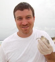 Brian Wolff, a member of ASWM’s project work group, has served as the Branch Chief of Surface Water, and Operations for the Indiana Department of Environmental Management for the past 6 years. The branch covers Wetlands, Stormwater, MS4’s, and operational duties for all of the water quality division. Prior to joining Water Quality, Brian served 10 years as manager of the Special Projects Section in the Office of Air Quality, and for 5 years evaluated risk assessments in the Office of Land Quality. Brian has a Bachelor of Science in Biology from Indiana University.
 Laura Johnson is the Clean Water Act 404 Section Supervisor for the Nebraska Department of Environment and Energy managing the 401 water quality certification program and leads a 404 assumption team. She has been with the Department since 2012 and served as the Integrated Report and TMDL Coordinator for the first 7 years. Laura earned a Bachelor’s of Science in Natural Resources and Environmental Economics with a minor in Water Science from the University of Nebraska Lincoln.
 Brenda Zollitsch is Senior Policy Analyst at the Association of State Wetland Managers. Over the last two years, Brenda has led ASWM’s Assumption Project, coordinating the project workgroup, dialogues and research to develop the resources that will be presented during this webinar. At ASWM, Brenda conducts research and policy analysis on wetland and stream issues; works to analyze and respond to emerging wetland-related rules and regulations; manages projects; and designs, coordinates and evaluates training for wetland professionals. Brenda is also currently leading a multi-year national project on Wetland regulatory Capacity Building. Brenda earned a double Master’s degree in International Relations and Environmental Resource Management from Boston University and her PhD in Public Policy from the University of Southern Maine’s Muskie School of Public Service.
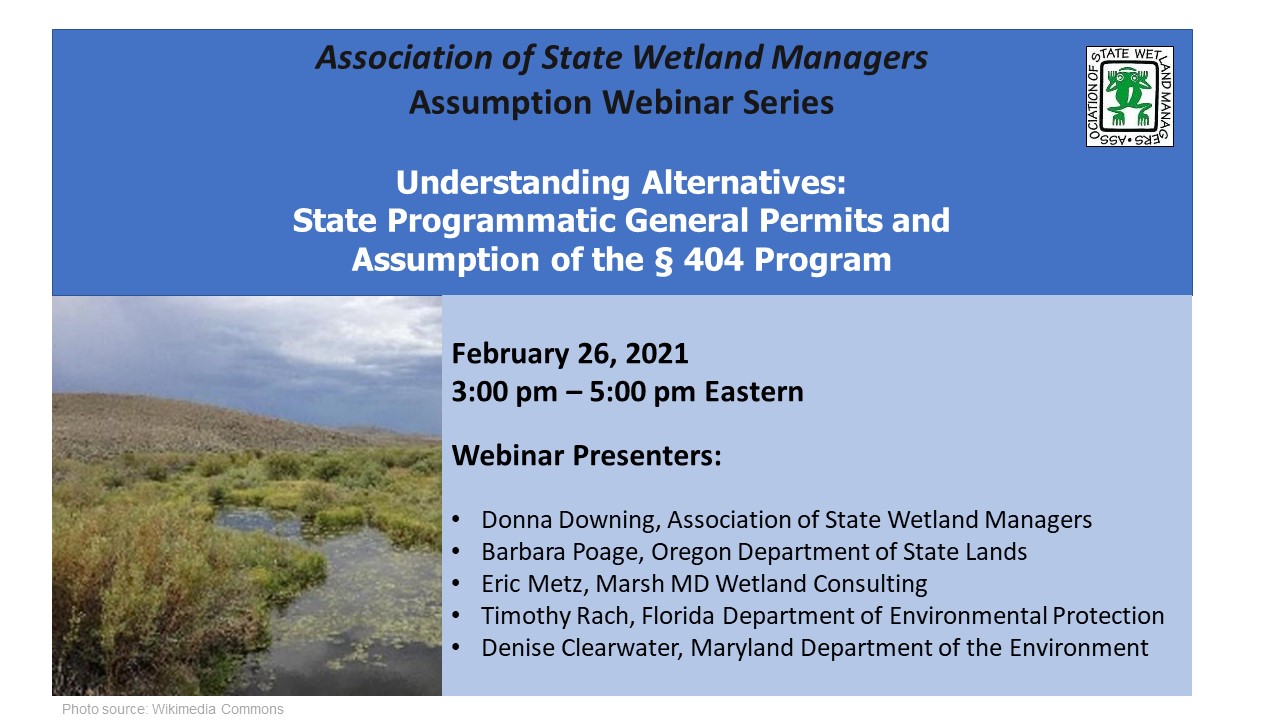
Held Friday,February 26, 2021 - 3:00-5:00 pm ET
INTRODUCTION
- Brenda Zollitsch, Association of State Wetland Managers [POWERPOINT PRESENTATION]
PRESENTERS
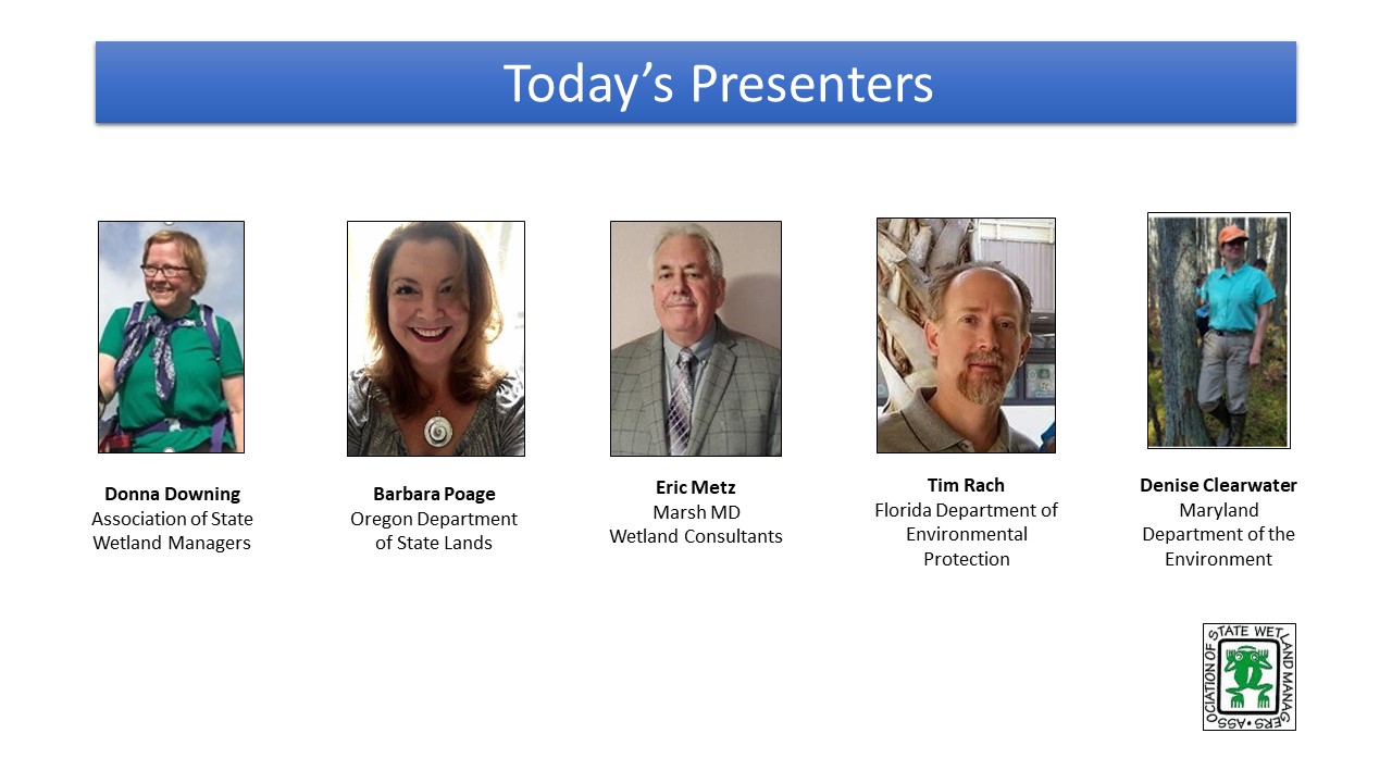
- Donna Downing, Association of State of Wetland Managers [POWERPOINT PRESENTATION]
- Eric Metz, Marsh MD Wetland Consulting [POWERPOINT PRESENTATION]
- Barbara Poage, Oregon Department of State Lands [POWERPOINT PRESENTATION]
- Timothy Rach, Florida Department of Environmental Protection [POWERPOINT PRESENTATION]
- Denise Clearwater, Maryland Department of the Environment [POWERPOINT PRESENTATION]
ABSTRACT
An increasing number of states are looking to create regulatory consistency and stability in their aquatic resource permitting programs. The Clean Water Act Amendments allow states to increase responsibility by assuming some administration of federal regulatory programs – State Programmatic General Permits (SPGPs) and 404 Assumption. While the options of developing general permits and assuming the § 404 program have been around for a long time, there remains confusion about what each option can offer and what some of the challenges and opportunities around them are. This webinar discussed the differences between developing a general permit and assuming the § 404 Dredge or Fill Permit Program, as well as some of the pros and cons for each. Panelists shared key questions that they recommend a state or tribe explore before making decisions and the importance of context and timing. The webinar ended with a discussion of developing a general permit as a stepping stone towards assumption and an opportunity for webinar participants to ask questions on the topic.
BIOS
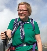 Donna Downing is the Senior Legal Policy Advisor, Association of State Wetland Managers. Donna was the Jurisdiction Team Leader in the U.S. Environmental Protection Agency’s (EPA) Office of Wetlands, Oceans, and Watersheds. Donna worked on a variety of issues at EPA, with a focus in recent years on the geographic scope of the Clean Water Act (CWA) in light of the U.S. Supreme Court decisions. She also served as EPA’s staff lead for CWA section 401 water quality certification, and on wetland-related legal issues. Prior to joining EPA in 1998, Donna worked for the U.S. Congress Office of Technology Assessment and in private law practice. She has a BA magna cum laude from Harvard University, an MPP from the University of California at Berkeley, a JD cum laude from Georgetown University Law School, and an LLM in Environmental Law summa cum laude from George Washington University Law School. Donna has been an adjunct professor at George Washington University Law School since 1996, teaching environmental law. In what’s left of her time, she moonlights as a professional potter and an unprofessional horse trainer. Donna also enjoys traveling and has traveled by reindeer sled in the Swedish Arctic, gone winter camping with dog sleds in Minnesota’s Boundary Waters Wilderness Area, and bicycled the Burma Road in China.
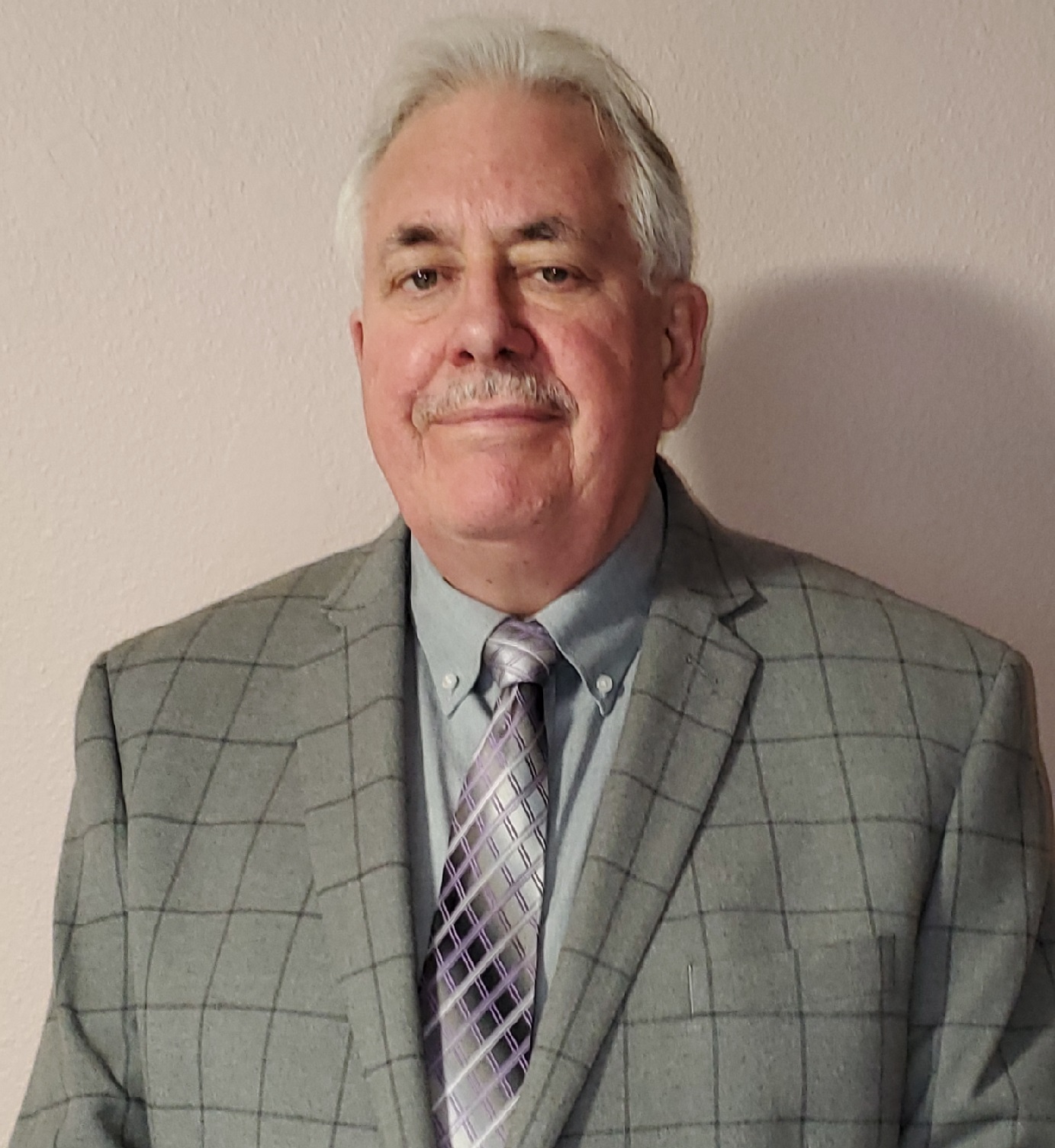 Eric Metz, PWS, is the Principal of Marsh MD Wetland Consults based in Salem, Oregon. Most recently Eric was a Senior Policy & Legislative Analyst for the Oregon Department of State Lands and a senior manager in the Oregon State Removal-Fill Program. Earlier in his career, he was the Wetland Coordinator for the California Coastal Commission, for a combined total of more than 30 years of experience with two state wetland regulatory programs. Eric has also been a private wetland and environmental consultant in the Pacific Northwest and in Alaska and a wetland restoration project manager for the National Audubon Society. In 2014 Eric teamed up with Oregon Wetland Consultants and provided the Alaska Department of Environmental Conservation a cost analysis for operating a state-assumed 404 program. Eric has a BA in geography with a minor in biology from Humboldt State University in Arcata, California, and a Master of Landscape Architecture with an Environmental Planning emphasis from the University of California, Berkeley.
 Barbara Poage is a Hydrogeologist with 20+ years in environmental and hydrologic consulting for private sector, tribal, non-profit, industrial, and state and federal government. She has managed innumerable environmental investigation and remediation projects throughout the west coast, has served as a tribal Superfund (CERCLA) Program Manager in New Mexico, and has excelled in state and federal rule and statute application and interpretation throughout her career. She has worked for Oregon Water Resources Department in water rights for many years and is currently the Clean Water Act 404 Assumption Analyst for Oregon Department of State Lands. Barbara holds a Bachelor of Science in Geology from University of Idaho and a Masters in Hydrology from New Mexico Institute of Mining and Technology. As well, Barbara is an instrument-rated pilot and FAA Part 107 Certified sUAS (drone) Pilot Operator and small business owner (Right Strut Aviation LLC).
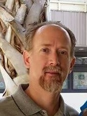 Timothy Rach is a Program Administrator in the Submerged Lands & Environmental Resources Coordination Program at the Florida Department of Environmental Protection (DEP). He has been with DEP for over 23 years in various management and supervisory positions. Most of his time has been in the Environmental Resources Permitting program regulating development in wetlands and surface waters. Tim is responsible for overseeing the statewide implementation of the ERP rules and regulations within the Department, Water Management Districts and local delegated programs. He holds a Bachelors of Science degree in Marine Biology from Troy University and a Masters of Science degree in Ecology from Old Dominion University.
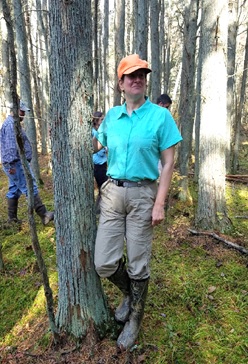 Denise Clearwater has worked in Maryland’s wetland programs since 1986. She has a background in developing and implementing programs in wetland regulation, wetland training, and mitigation, as well as managing special projects for grants and program improvement and assisting in policy development. She has represented the Wetlands and Waterways Program in the Maryland Department of the Environment on numerous interagency work groups for regulatory, wetland monitoring, restoration, preservation and stream health and is a past co-chair of the Chesapeake Bay Program Wetland Work Group. She is also a member of the Society of Wetland Scientists. Denise has a B.S. in zoology from the University of Maryland and an M.S. in wildlife management from Frostburg State College (now University).
![]()
View Past Section 404 Assumption Webinars Here
| 2020 |
View a List of Past Section 404 Assumption Webinar Recordings Here
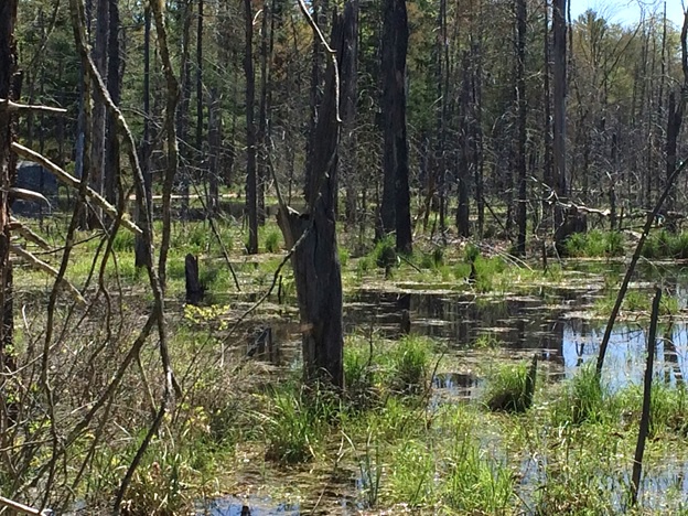 In March 2021, ASWM completed a multi-year project on Building State and Tribal Wetland Regulatory Capacity. This webinar series will provide useful findings, state and tribal lessons learned and useful tools and techniques that can be used to help wetland programs increase effectiveness, efficiency, transparency and predictability in regulatory activities.
For more information and/or to join our email list for notices about upcoming events, please contact Laura Burchill at laura@nawm.org or (207) 892-3399.
List of Wetland Regulatory Capacity Building Webinar Recordings Here
Please click on a year below to view past webinars.
Please note, this was an ASWM Members’ Webinar that we have made available to the public.
The Navigable Waters Protection Rule: Highlights & Initial Take-Aways
Held Wednesday, March 25, 2020 - 12:00pm-2:00pm Eastern
INTRODUCTION
- Brenda Zollitsch, Senior Policy Analyst, Association of State Wetland Managers [POWERPOINT PRESENTATION]
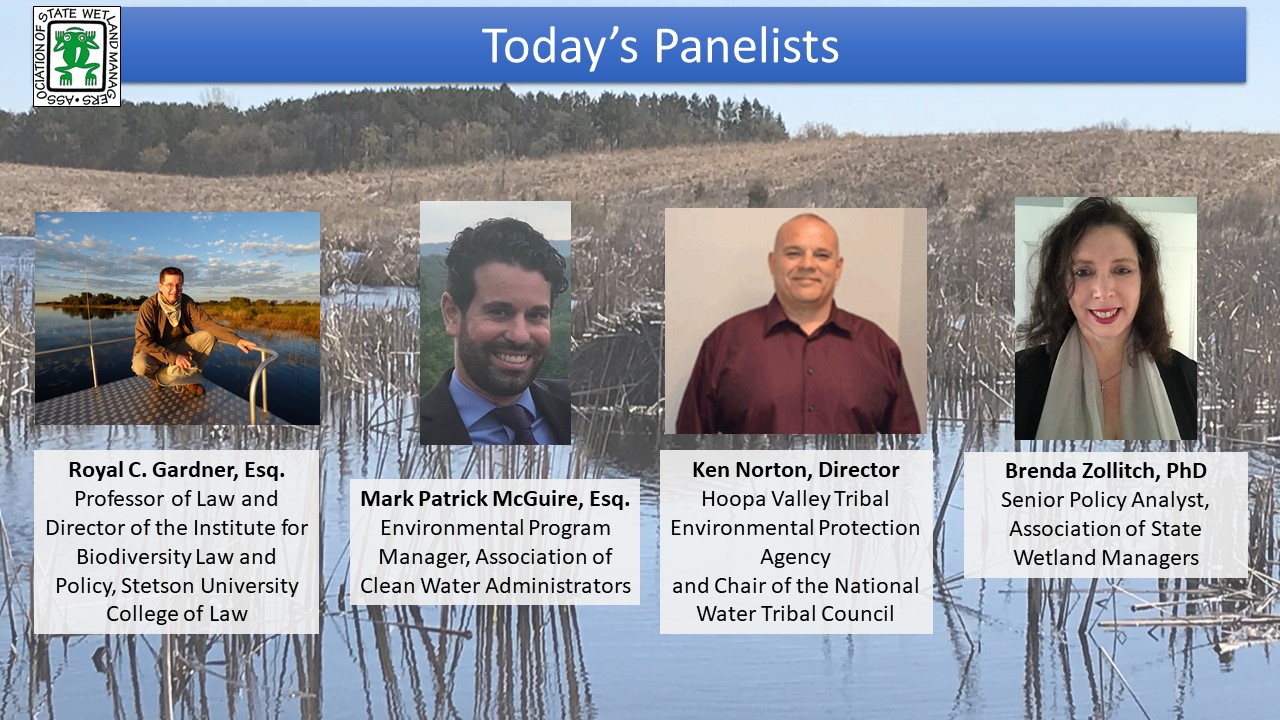
PANELISTS
- Royal Gardner, Professor of Law and Director of the Institute for Biodiversity Law and Policy, Stetson University College of Law [POWERPOINT PRESENTATION]
- Mark Patrick McGuire, Association of Clean Water Administrators [POWERPOINT PRESENTATION]
- Ken Norton, National Tribal Water Council [POWERPOINT PRESENTATION]
- Brenda Zollitsch, PhD, Senior Policy Analyst, National Association of Wetland Managers [POWERPOINT PRESENTATION]
BIOS
 Royal C. Gardner is Professor of Law and Director of the Institute for Biodiversity Law and Policy at Stetson University College of Law. He is an internationally recognized expert in wetland law and policy. Recent projects include serving as the Chair of the Scientific and Technical Review Panel of the Ramsar Convention on Wetlands, testifying before a World Bank arbitration panel, advising the Government of Oman regarding wetland policy, and coauthoring amicus briefs on behalf of environmental scientists. In WOTUS-related litigation, he has filed amicus briefs in the U.S. Court of Appeals for the Sixth Circuit, and in the U.S. District Courts for the District of North Dakota and the Southern District of New York.
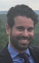 Mark Patrick McGuire joined ACWA in January 2016 as an Environmental Program Manager. He manages Association work in the following subject areas: Nutrients policy, legal affairs, NPDES permitting, compliance, and enforcement, pretreatment, and water quality trading. Patrick holds a J.D. from the Catholic University of America, Columbus School of Law and a B.S. in History from Northeastern University. He is an active member of the Rhode Island and Massachusetts bars.
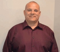 Ken Norton, Chair of the National Tribal Water Council, is an enrolled member of the Hoopa Valley Tribe, and serves as the Director of the Hoopa Valley Tribal Environmental Protection Agency (TEPA). Ken has expertise in water quality and the development of water quality standards. He is a fisheries expert understanding the water quality needs of healthy salmon and other river life, and is experienced in watershed restoration. As TEPA Director, Ken oversees tribal water programs and tribal environmental programs, such as superfund, brownfields, air, pesticides, lead and solid waste. In prior years (2004 and 2009), Ken served as the Vice-Chair of the National Tribal Operations Committee (NTOC) and as the NTOC Tribal Caucus lead for water issues.
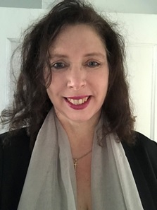 Brenda Zollitsch is Senior Policy Analyst for the Association of State Wetland Managers. Brenda leads national policy analysis and research projects on a wide range of wetland issues and currently leads two national EPA Wetland Program Development Grant projects, one on state and tribal assumption and the other on building regulatory capacity in state and tribal wetland programs. She also leads analysis on proposed regulatory changes to both Clean Water Act Sections 401 and the Waters of the U.S. Brenda received her PhD in Public Policy from the University of Southern Maine’s Muskie School of Public Service in 2012.

View Past Clean Water Act Webinars Here
| 2019 | 2018 | 2017 | 2015 | ||||||
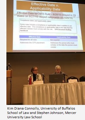 In the Courts - What's next for Waters of the United States Rule?
Wednesday, April 11, 2018
Presented at the Association of State Wetland Managers 2018 Annual State/Tribal/Federal Coordination Meeting
INTRODUCTION
Jeanne Christie, Association of State Wetland Managers
PRESENTERS
- Kim Diana Connolly, University at Buffalo School of Law
- Steve Johnson, Mercer University School of Law
BIOS
Kim Diana Connolly has focused a large part of her academic career on laws and policies that regulate and protect the planet and its inhabitants. She serves as a Professor of Law, and the Vice Dean for Advocacy and Experiential Learning for the University at Buffalo School of Law, where she directs both the Advocacy Institute and the Clinical Legal Education Program. She teaches environmental law courses, including the Environmental Advocacy Clinic. She also studies, writes and speaks about environmental and animal law policies, creatively examining and sharing ideas as to how to move toward a sustainable future. Professor Connolly’s commitment to environmental justice began before she attended law school, when she ran a non-profit working to bring social justice to those facing a lack of access to clean water and sanitary wastewater removal in North Carolina. After earning her law degree, she has advocated in multiple arenas, including in judicial settings, before federal, state and local legislative bodies, with federal, international, state, and local administrative bodies, and beyond. When she joined academia, Professor Connolly began exploring environmental and related policies. She has written both traditional and non-traditional works, and presented at numerous conferences around the world. Professor Connolly’s work has been used by policy-makers as well as cited by scholars. Prior to her teaching career, she practiced law with a number of Washington, D.C., law firms, including Beveridge and Diamond and Hunton & Williams. She received her J.D., magna cum laude, from Georgetown University Law Center and her LL.M. with highest honors from George Washington University Law School. Professor Connolly did her undergraduate work in chemistry at the University of North Carolina at Chapel Hill where she was a Morehead Scholar, and served as a VISTA volunteer between college and law school. She also received a certification in Non-Profit Management from Duke University.
Stephen M. Johnson is a Professor of Law at Mercer University Law School in Macon, Georgia. He received his J.D. from Villanova University School of Law and an LL.M. in environmental law from the George Washington University Law School. Prior to teaching, he served as an attorney for the Bureau of Regulatory Counsel in the Pennsylvania Department of Environmental Resources (now DEP) and as a trial attorney for the U.S. Department of Justice, Environment and Natural Resources Division, Environmental Defense Section, where he worked on wetlands litigation and other environmental litigation.
He joined the Mercer faculty in 1993 and served as the Associate Dean for Academic Affairs from 2002-2012. He specializes in Environmental Law, Administrative Law and Statutory Law. In addition to authoring numerous articles on environmental law and administrative law, he has written a book on Wetlands Law, published by CALI’s eLangdell Press, and co-edited an American Bar Association book on Wetlands Law.
![]()
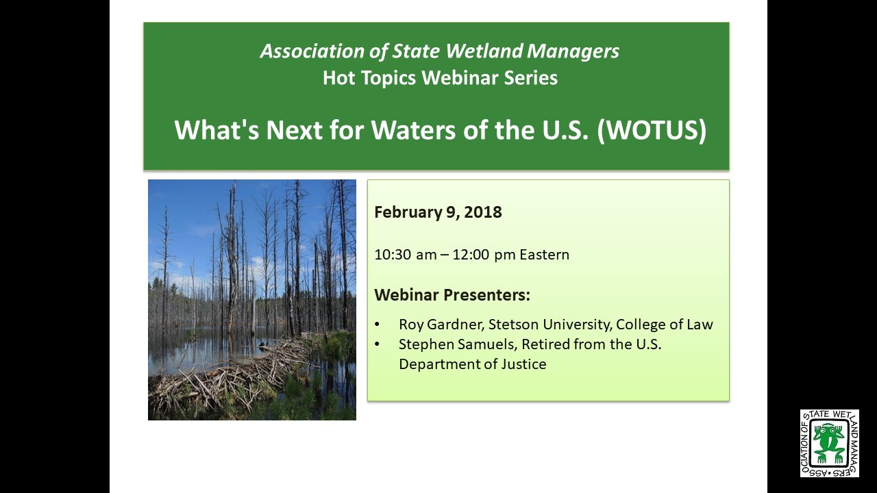
What's next for Waters of the U.S. (WOTUS)?
Friday, February 9, 2018 - 10:30 a.m. ET
INTRODUCTION
Jeanne Christie, Association of State Wetland Managers [PowerPoint Presentation] PRESENTERS
- Royal Gardner, Stetson University College of Law [PowerPoint Presentation]
- Stephen Samuels, Retired from the U.S. Department of Justice [PowerPoint Presentation]
ABSTRACT
On January 22, 2018, the Supreme Court held unanimously that challenges to EPA’s and the Corps of Engineers’ promulgation of the Clean Water Rule in 2015, which defined the term “waters of the United States” in the Clean Water Act, may be brought only in the district courts. What does this decision mean for the stay of the Clean Water Rule that was issued by the Sixth Circuit Court of Appeals shortly after the new rule took effect? And does it even matter now that the executive branch has announced its intention to rescind the Clean Water Rule and replace it with a definition of WOTUS that will narrow the reach of the Act? Two experts on WOTUS will explore these questions, and yours, in a webinar on Friday, February 9, 2018 at 10:30 AM EST.
BIOS
Royal C. Gardner is Professor of Law and Director of the Institute for Biodiversity Law and Policy at Stetson University College of Law. He is an internationally recognized expert in wetland law and policy. Recent projects include advising the Government of Oman regarding wetland policy, coauthoring a U.S. Supreme Court amicus brief on behalf of environmental scientists, and creating an interdisciplinary course that facilitates discourse among experienced scientists, policymakers, and students.
His research and scholarship focus on U.S. and international wetland legal and policy issues, with an emphasis on biodiversity offsets. He has lectured in Africa, Asia, Europe, and North and South America. In 2006, he won the National Wetlands Award for Education and Outreach. In 1999–2001, Professor Gardner was appointed to the National Research Council’s Committee on Mitigating Wetland Losses.
An executive editor of the Boston College Law Review and a member of the Order of the Coif, he graduated magna cum laude from Boston College Law School. He then clerked for Chief Judge Francis J. Boyle of the United States District Court for the District of Rhode Island. From 1989 to 1993, he served in the Army General Counsel’s office as the Department of the Army’s principal wetland attorney, advising the assistant secretary of the Army (civil works) on legal and policy issues related to the Corps of Engineers’ administration of the Clean Water Act section 404 program. At Stetson, Professor Gardner has served as director of graduate and international programs, associate dean, vice dean, and interim dean.
Stephen Samuels, now retired, was previously Assistant Chief of the Environmental Defense Section of the Environment & Natural Resources Division of the U.S. Department of Justice. In that capacity, Mr. Samuels supervised a staff of 15 attorneys handling federal district court litigation involving all the major environmental pollution statutes. Mr. Samuels has 31 years of experience enforcing and defending the Clean Water Act Section 404 regulatory program. During that time, he helped lead the federal government’s litigation responses to the Supreme Court's decisions in SWANCC, Rapanos, Sackett and Hawkes. Until his retirement in January 2017, Mr. Samuels headed the DOJ litigation team that defended challenges to the Clean Water Rule. Mr. Samuels is a frequent speaker on Clean Water Act jurisdiction at conferences around the country. Mr. Samuels previously was an attorney with the U.S. Department of Energy and with the law firm of Breed, Abbott & Morgan. Mr. Samuels earned his J.D. in 1977 from Stanford Law School and his B.A. in 1974 from Tulane University.
![]()
View Past Clean Water Act Webinars Here
| 2020 | 2019 | 2017 | 2015 | ||||||
 The federal Clean Water Act (CWA) is the main piece of federal legislation that protects the Nation's waters. Within the CWA, there are a number of sections that specifically address protection or regulation of wetlands. As such, NAWM closely follows all proposed and final CWA rules pertaining to wetlands and uses this webinar series as a vehicle to share timely information regarding any proposed regulatory changes and how they might impact state and tribal wetland programs.
For more information and/or to join our email list for notices about upcoming events, please contact Laura Burchill at laura@nawm.org or (207)892-3399.
If you haven’t used Teams before or you just need a refresher, please view our guide prior to the webinar here.
View Past Clean Water Act Webinars Here
View a List of Past Clean Water Act Webinar Recordings Here
Please check back for future Clean Water Act Webinars. Thank you.
 The federal Clean Water Act (CWA) is the main piece of federal legislation that protects the Nation's waters. Within the CWA, there are a number of sections that specifically address protection or regulation of wetlands. As such, NAWM closely follows all proposed and final CWA rules pertaining to wetlands and uses this webinar series as a vehicle to share timely information regarding any proposed regulatory changes and how they might impact state and tribal wetland programs.
For more information and/or to join our email list for notices about upcoming events, please contact Laura Burchill at laura@nawm.org or (207) 892-3399.
View a List of Clean Water Act Webinar Recordings Here
Please click on a year below to view past webinars.
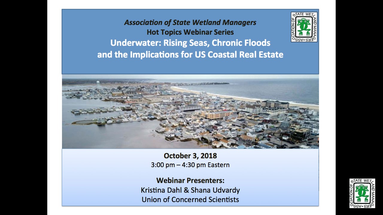
Underwater: Rising Seas, Chronic Floods and the Implications for US Coastal Real Estate
Held Wednesday, October 3, 2018 at 3:00-4:30 pm Eastern
INTRODUCTION
Brenda Zollitsch, Policy Analyst, Association of State of Wetland Managers [PRESEANTATION PDF]
PRESENTERS
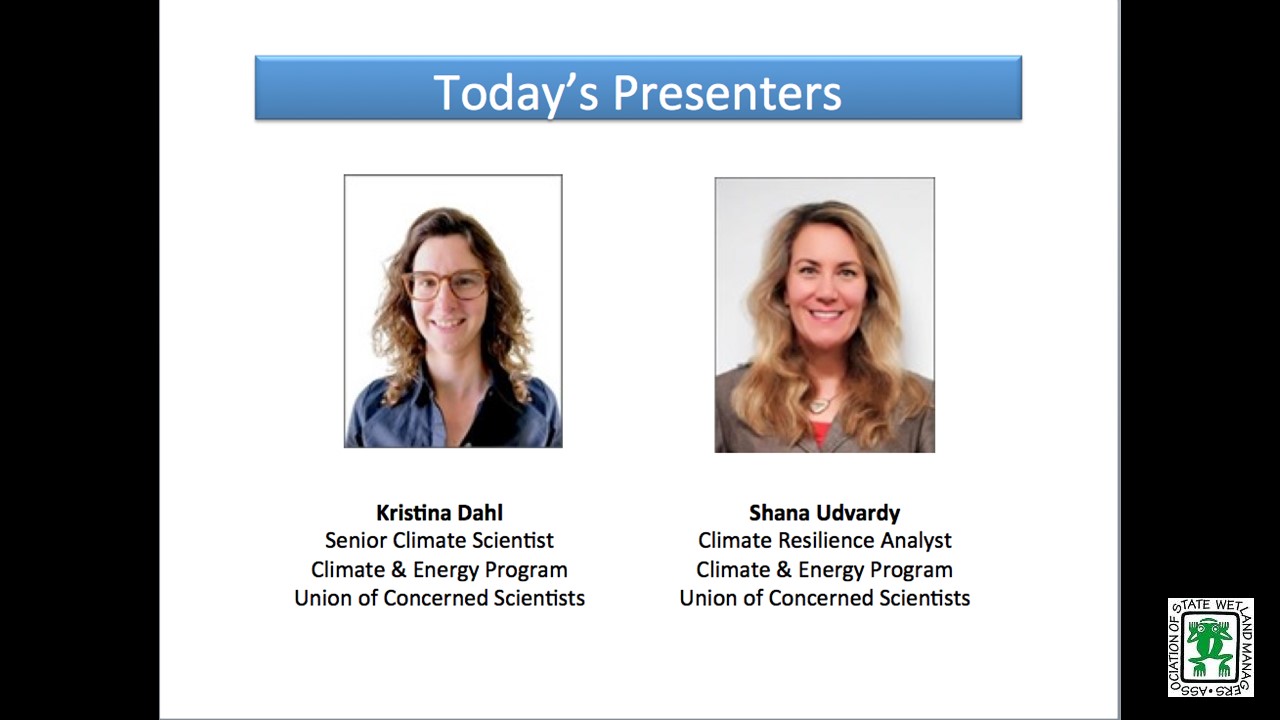
- Kristina Dahl, Union of Concerned Scientists [PRESENTATAION PDF]
- Shana Udvardy, Union of Concerned Scientists [PRESENTATION PDF]
ABSTRACT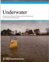
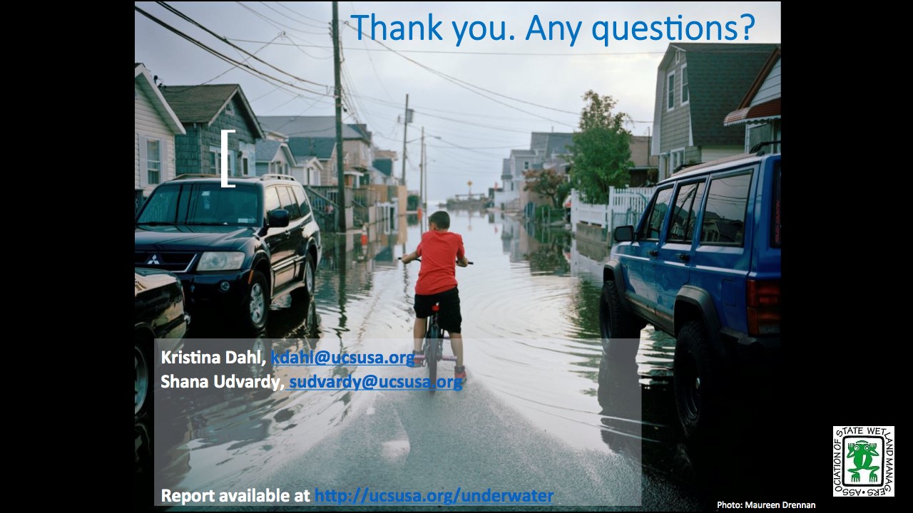
Rising sea levels are putting hundreds of US coastal communities at risk of chronic flooding and growing land and property loss, in many cases within 15 to 20 years. Using data from real estate company Zillow and our own peer-reviewed methodology for estimating flood risk, the Union of Concerned Scientists released a new analysis that identifies the number of coastal properties at risk of chronic inundation, the present-day value of these properties at the zip code level, and their current contribution to the property tax base. Join the report authors to learn about the significant implications for local economies, governments, communities and the financial sector. They will provide suggestions for changes to policies and market incentives to help mount a robust nationwide response to this immediate and growing problem. There will be time for questions after the presentation. You can read the report and view maps here.
BIOS
 Kristina Dahl is a senior climate scientist for the Climate & Energy program at the Union of Concerned Scientists. Dr. Dahl designs, executes, and communicates scientific analyses that make climate change more tangible to the general public and policy makers. Dr. Dahl earned a Ph.D. in paleoclimate from the MIT/Woods Hole Oceanographic Institution Joint Program, and a BA in Earth sciences from Boston University.
 Shana Udvardy is a climate resilience analyst with the Climate & Energy program at the Union of Concerned Scientists. She conducts research and policy analysis to help inform and build support to increase resilience to climate change impacts. Ms. Udvardy is a Certified Floodplain Manager, and holds a M.S. in Conservation Ecology and Sustainable Development from the University of Georgia’s Odum School of Ecology and a B.A. from Syracuse University’s Maxwell School.
Please click only once on each video recording to view in this window.
![]()
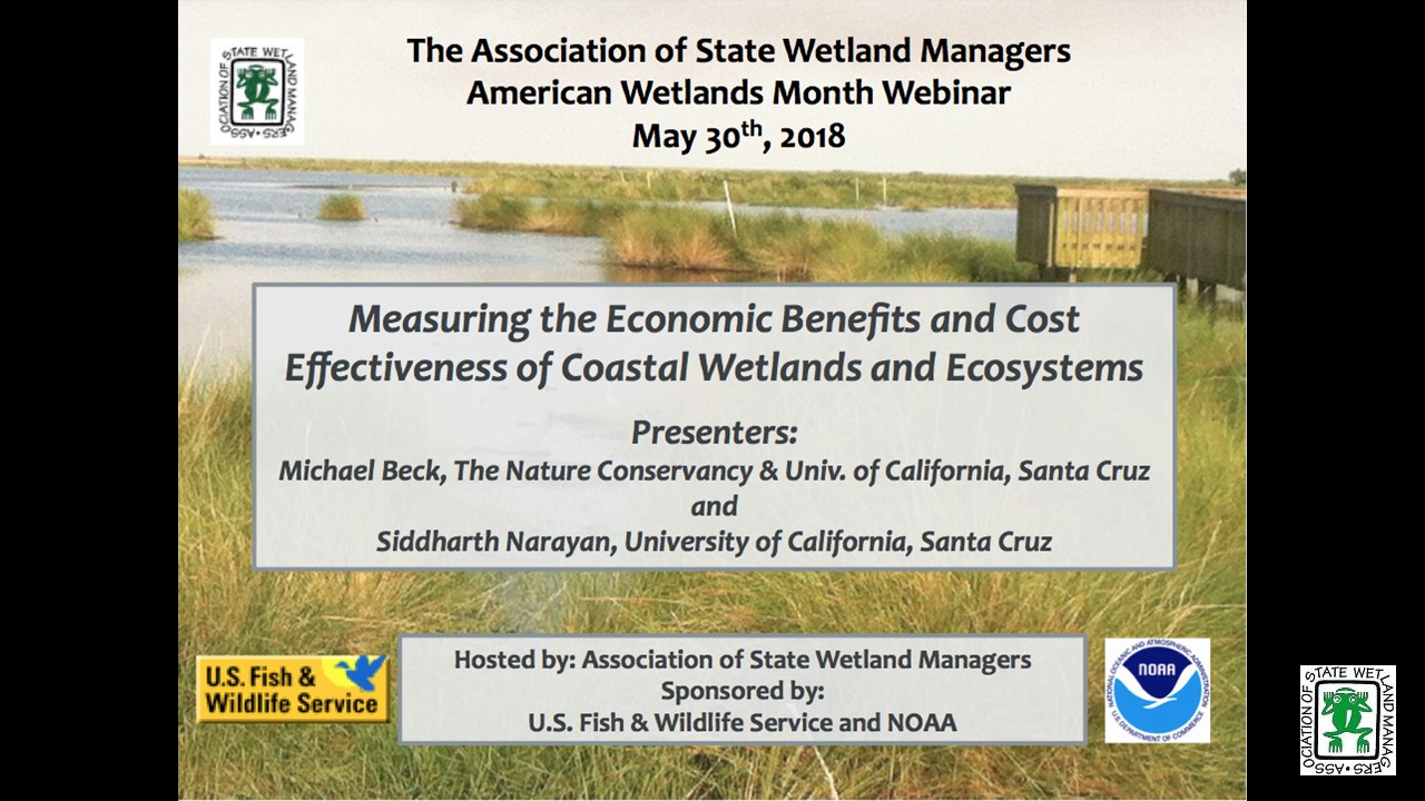
ASWM American Wetlands Month Webinar
Measuring the Economic Benefits and Cost Effectiveness of Coastal Wetlands and Ecosystems
Held Wednesday, May 30, 2018 at 3:00pm ET
SPONSORED BY:
- National Oceanic and Atmospheric Administration
- U.S. Fish and Wildlife Service
INTRODUCTION
- Marla Stelk, Association of State of Wetland Managers [PRESENTATION PDF]
PRESENTERS
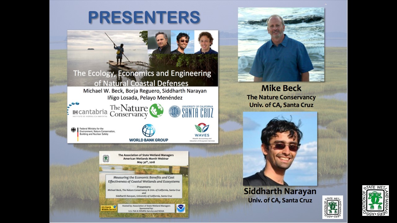
- Michael Beck, The Nature Conservancy and University of California, Santa Cruz [PRESENTATION PDF]
- Siddharth Narayan, University of California, Santa Cruz [PRESENTATION PDF]
 ABSTRACT
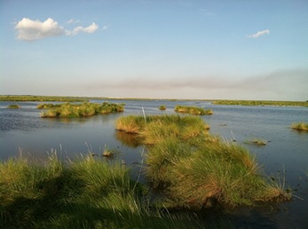
ASWM will be wrapping up our celebration of American Wetlands Month with a fascinating webinar discussing two report’s findings that show how investments in nature-based infrastructure can meet multiple objectives for environmental restoration, adaptation and flood risk reduction as well as result in millions of dollars in savings from storm damages.
In 2016, the release of the report “Coastal Wetlands and Flood Damage Reduction: Using Risk Industry-based Models to Assess Natural Defenses in the Northeastern USA” gained international attention. In the report the authors quantified the economic benefits of coastal wetlands in reducing property damage from storms and flooding in the northeastern United States. Using risk industry models, they estimated that coastal wetlands saved more than US$ 625 million in avoided flood damages from Hurricane Sandy across the northeastern USA. Just this spring, a second report was released entitled “Comparing the cost effectiveness of nature-based and coastal adaptation: A case study from the Gulf Coast of the United States.” This report also shows that investments in nature-based adaptation could meet multiple objectives for environmental restoration, adaptation and flood risk reduction. In this presentation, Michael Beck and Siddharth Narayan will share their research, methods and findings from these two studies.
BIOS
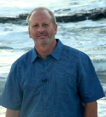 Michael Beck is the Lead Marine Scientist at TNC and adjunct Professor in Ocean Sciences at the University of California Santa Cruz. Mike focuses on building coastal resilience in the interface between risk reduction and conservation. His approach is multi-disciplinary across ecology, engineering and economics. Mike has authored more than sixty peer-reviewed publications. His work covers topics from the role of coral reefs in reducing risks from storms to the effects of people on extinctions of Pleistocene mammals. He has also published numerous popular articles including Op-eds in the NY Times, Miami Herald, Huffington Post and the Caribbean Journal. He was a Fulbright Fellow at the University of Sydney and in 2012 Mike was also selected as a Pew Marine Conservation Fellow.
 Siddharth Narayan (Sid) is a Research Scientist in Coastal Adaptation and Nature-based Solutions. A civil and coastal engineer, hailing from Chennai in southern India, he is based at the University of California Santa Cruz and works with Michael Beck, lead marine scientist at The Nature Conservancy. Sid's research interests focus on modelling interactions between natural and human coastal systems, to help develop sustainable measures for coastal adaptation. At present, he works closely with insurance risk modelers, ecologists and engineers to assess the role and value of wetlands for reducing flood risk and damages to people and property.
Please click only once on each video recording to view in this window.
![]()
Presented at the Association of State Wetland Managers 2018 Annual State/Tribal/Federal Coordination Meeting
Held Thursday, April 12, 2018
Exploring Opportunities for Integrated Mapping and Functional Assessment of Riverine and Coastal Floodplains and Wetlands
- Andy Robertson, Saint Mary’s University of Minnesota
Focusing Restoration Where it Matters Most
- Caroline Chan, Kentucky Division of Water
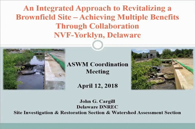
An Integration Approach to Revitalizing a Brownfield Site - Achieving Multiple Benefits through Collaboration - NVF-Yorklyn, Delaware
- John Cargill, Delaware Department of Natural Resources and Environmental Control
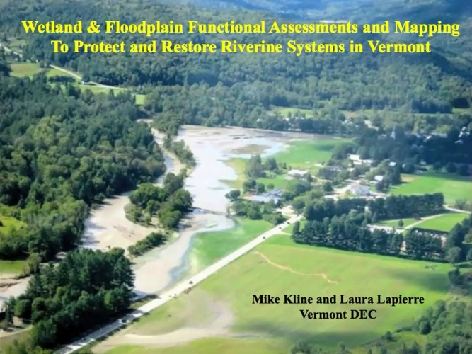
Mapping Wetland and Floodplain Functions in Vermont
- Mike Kline and Laura Lapierre, Vermont Department of Environmental Conservation [PRESENTATION PDF]
Migratory Bird Treaty – What’s Next?
- Kim Connolly, University at Buffalo School of Law [PRESENTATION PDF]
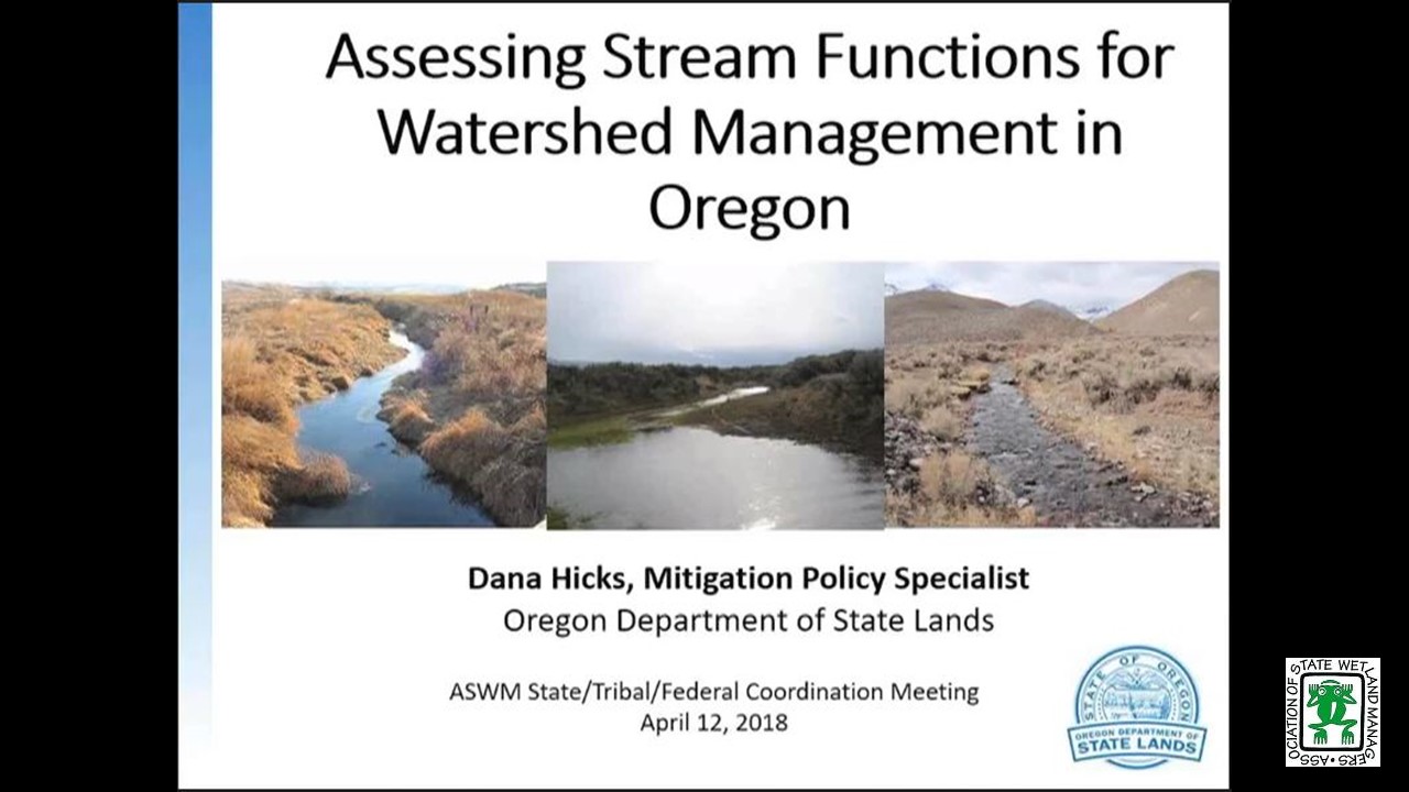
Assessing Stream Functions for Watershed Management in Oregon
- Dana Hicks, Oregon Department of State Lands [PRESENTATION PDF]
Please click only once on each video recording to view in this window.
![]()
What's next for Waters of the U.S. (WOTUS)?
Held Friday, February 9, 2018 - 10:30 a.m. ET
INTRODUCTION
- Jeanne Christie, Association of State of Wetland Managers[PRESENTATION PDF]
PRESENTERS
- Royal Gardner, Stetson University College of Law [PRESENTATION PDF]
- Stephen Samuels, Retired from the U.S. Department of Justice [PRFESENTATION PDF]
ABSTRACT
On January 22, 2018, the Supreme Court held unanimously that challenges to EPA’s and the Corps of Engineers’ promulgation of the Clean Water Rule in 2015, which defined the term “waters of the United States” in the Clean Water Act, may be brought only in the district courts. What does this decision mean for the stay of the Clean Water Rule that was issued by the Sixth Circuit Court of Appeals shortly after the new rule took effect? And does it even matter now that the executive branch has announced its intention to rescind the Clean Water Rule and replace it with a definition of WOTUS that will narrow the reach of the Act? Two experts on WOTUS will explore these questions, and yours, in a webinar on Friday, February 9, 2018 at 10:30 AM EST.
BIOS
 Royal C. Gardner is Professor of Law and Director of the Institute for Biodiversity Law and Policy at Stetson University College of Law. He is an internationally recognized expert in wetland law and policy. Recent projects include advising the Government of Oman regarding wetland policy, coauthoring a U.S. Supreme Court amicus brief on behalf of environmental scientists, and creating an interdisciplinary course that facilitates discourse among experienced scientists, policymakers, and students.
His research and scholarship focus on U.S. and international wetland legal and policy issues, with an emphasis on biodiversity offsets. He has lectured in Africa, Asia, Europe, and North and South America. In 2006, he won the National Wetlands Award for Education and Outreach. In 1999–2001, Professor Gardner was appointed to the National Research Council’s Committee on Mitigating Wetland Losses.
An Executive Editor of the Boston College Law Review and a member of the Order of the Coif, he graduated magna cum laude from Boston College Law School. He then clerked for Chief Judge Francis J. Boyle of the United States District Court for the District of Rhode Island. From 1989 to 1993, he served in the Army General Counsel’s office as the Department of the Army’s principal wetland attorney, advising the assistant secretary of the Army (civil works) on legal and policy issues related to the Corps of Engineers’ administration of the Clean Water Act section 404 program. At Stetson, Professor Gardner has served as director of graduate and international programs, associate dean, vice dean, and interim dean.
 Stephen Samuels, now retired, was previously Assistant Chief of the Environmental Defense Section of the Environment & Natural Resources Division of the U.S. Department of Justice. In that capacity, Mr. Samuels supervised a staff of 15 attorneys handling federal district court litigation involving all the major environmental pollution statutes. Mr. Samuels has 31 years of experience enforcing and defending the Clean Water Act Section 404 regulatory program. During that time, he helped lead the federal government’s litigation responses to the Supreme Court's decisions in SWANCC, Rapanos, Sackett and Hawkes. Until his retirement in January 2017, Mr. Samuels headed the DOJ litigation team that defended challenges to the Clean Water Rule. Mr. Samuels is a frequent speaker on Clean Water Act jurisdiction at conferences around the country. Mr. Samuels previously was an attorney with the U.S. Department of Energy and with the law firm of Breed, Abbott & Morgan. Mr. Samuels earned his J.D. in 1977 from Stanford Law School and his B.A. in 1974 from Tulane University.
Please click only once on each video recording to view in this window.
![]()
PDF List of Past Hot Topics Webinar Recordings
View Upcoming Hot Topics Webinars
A Legal Analysis of the Clean Water Act § 401 Proposed Rule
Held Friday, September 20, 2019 - 3:00-5:00 pm Eastern
INTRODUCTION
Marla Stelk, Executive Director, Association of State Wetland Managers [POWERPOINT PRESENTATION]
PRESENTERS
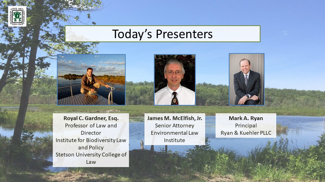
- Royal C. Gardner, Professor of Law and Director of the Institute for Biodiversity Law and Policy, Stetson University College of Law [POWERPOINT PRESENTATION]
- Mark A. Ryan, Principal, Ryan & Kuehler PLLC [POWERPOINT PRESENTATION]
- James M. McElfish, Jr., Senior Attorney, Environmental Law Institute [POWERPOINT PRESENTATION]
ABSTRACTS
On Thursday, August 22, 2019, the U.S. Environmental Protection Agency’s (EPA) proposed rule for changes to Clean Water Act (CWA) Section 401 was published in the Federal Register. The EPA has only provided a 60-day public comment period - comments are due on or before Monday, October 21, 2019 – however, EPA has requested feedback on over 130 questions. CWA § 401 is a direct grant of authority to states (and tribes that have been approved for “treatment as a state” status) to review for compliance with appropriate federal, state, and tribal water quality requirements any proposed activity that requires a federal license or permit and may result in a discharge to waters of the United States. The proposed rule has significant legal and policy implications for states’ rights to protect their water quality within their own boundaries. To assist states, tribes and others in understanding the potential legal concerns surrounding the proposed rule, ASWM has invited three of the nation’s top Clean Water Act attorneys to provide a history of significant court cases regarding § 401, its use by states and tribes, and a legal analysis of the proposed rule and potential impacts.
Royal C. Gardner
Gardner provided a history of state water quality certification provisions, beginning with the Water Quality Improvement Act of 1970. He discussed the key U.S. Supreme Court cases that interpret Clean Water Act Section 401 (PUD No. 1 of Jefferson County v. Washington Department of Ecology and S.D. Warren Co. v. Maine Board of Environmental Protection), as well as other cases mentioned in the proposed rulemaking. He will also highlight significant aspects of the proposed rule: time limitations on state certification decisions; restrictions on the scope of what states may consider in the certification process; and federal agency review (and possible rejection) of state certification decisions.
Mark A. Ryan
Mark discussed the administrative process EPA is required to follow to promulgate a final rule, how the likely litigation will play out and the possibility of Congress invoking the Congressional Review Act. Mark also discussed how this effort fits into other CWA reform efforts by the Trump administration.
James M. McElfish, Jr.
James discussed the reliance by many states on 401 as a basis for wetlands regulatory programs; the various types of conditions that states have applied to 401 certifications to protect water quality in the context of federal licenses and permits and what limitations the proposed rule would place on such conditions; and the potential impacts of the proposed rule on enforceability of state conditions.
BIOS
 Royal C. Gardner is Professor of Law and Director of the Institute for Biodiversity Law and Policy at Stetson University College of Law. He is an internationally recognized expert in wetland law and policy. Recent projects include serving as the Chair of the Scientific and Technical Review Panel of the Ramsar Convention on Wetlands, testifying before a World Bank arbitration panel, advising the Government of Oman regarding wetland policy, and coauthoring amicus briefs on behalf of environmental scientists. In WOTUS-related litigation, he has filed amicus briefs in the U.S. Court of Appeals for the Sixth Circuit, and in the U.S. District Courts for the District of North Dakota and the Southern District of New York.
 Mark Ryan is an Attorney with Ryan & Kuehler PLLC in Winthrop, Washington where he has a national and regional practice that focuses on Clean Water Act (CWA) counseling and litigation, water rights and land-use issues. Prior to Ryan & Kuehler, Mr. Ryan spent 24 years as an EPA trial attorney, where he was one of EPA's leading experts on the CWA. He has published and spoken extensively on the CWA, and he is the long-standing editor of the American Bar Association’s Clean Water Act Handbook. He received his B.S. in natural resources from the University of Michigan and his law degree from Indiana University School of Law (cum laude), where he was an editor of the Indiana Law Journal. Mr. Ryan's Clean Water Act Blog, where he provides summaries of recent developments under the CWA, can be viewed at ryankuehler.com. Mr. Ryan can be reached at mr@ryankuehler.com.
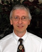 James M. McElfish, Jr. is a Senior Attorney, Director with the Environmental Law Institute Sustainable Use of Land Program. Jim McElfish’s research focuses on development choices and their links to land use, water resources, biological diversity, and infrastructure policy. ELI’s Sustainable Use of Land Program makes connections among laws, policies, taxes, investments, and land use decisions. His work includes research on coastal zone activities, renewable energy siting, enforcement, and conservation outcomes. McElfish served as representative of the natural environment on the American Planning Association’s multi-year Growing Smarter Legislative Guidebook Directorate. McElfish also leads ELI programs on water resources, examining how watersheds and resources can be evaluated, used, conserved, and restored. He is a nationally recognized authority on NEPA and a former litigator in private practice and with the Department of the Interior. McElfish has been an ELI Senior Attorney since 1986.
![]()
View Past Clean Water Act Webinars Here
| 2020 | 2018 | 2017 | 2015 | ||||||
Webinar: Legal Challenges to the Clean Water Rule: Which Court? What Questions? What Timeframe?
Thursday, November 19, 2015
Introduction: Jeanne Christie, Executive Director, Association of State Wetland Managers
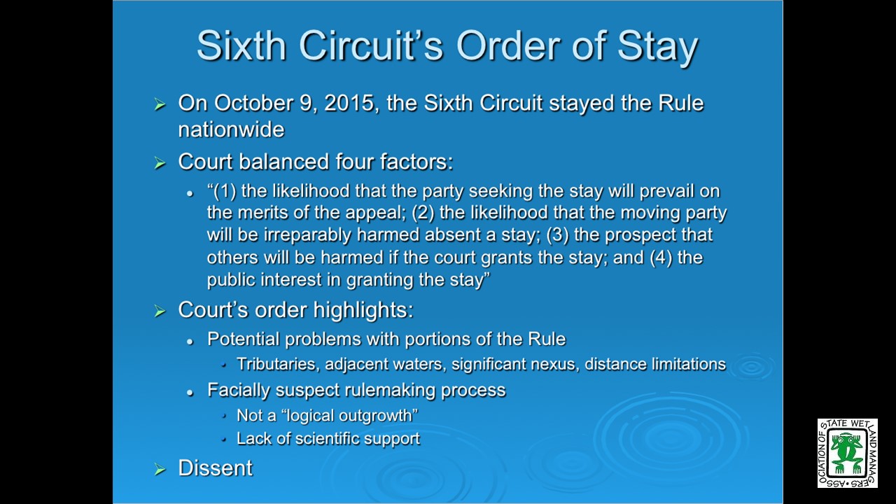
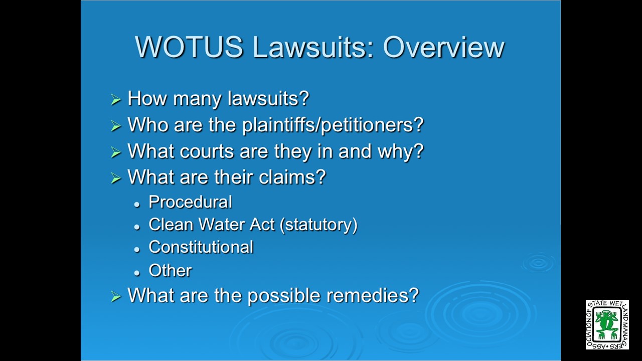
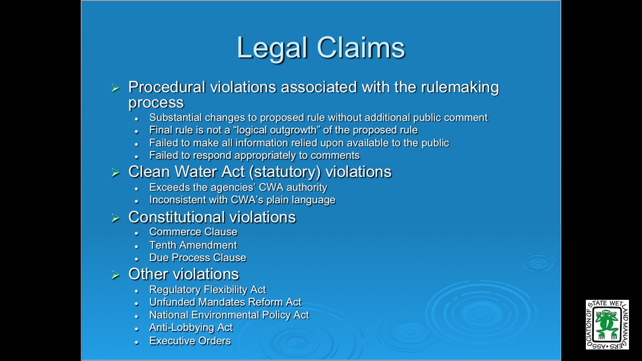
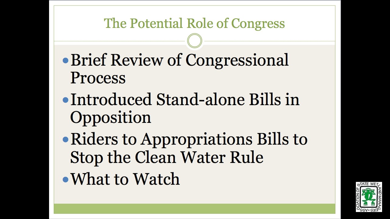
On Thursday, November 19, 2015 the Association of State Wetland Managers (ASWM) hosted a webinar to assist participants in understanding the status of challenges to the Clean Water Rule in the courts and explore what might happen in the coming months. The webinar provided a general overview of pending legal challenges to the Clean Water Rule and the status of those challenges. Much of the presentation focused on the basis for the legal challenges and what the process is likely to be in the courts as the lawsuits move through the justice system. Presenters also discussed various bills and resolutions before Congress, as well as the possibility of a rider being attached to the expected Congressional omnibus spending bill.
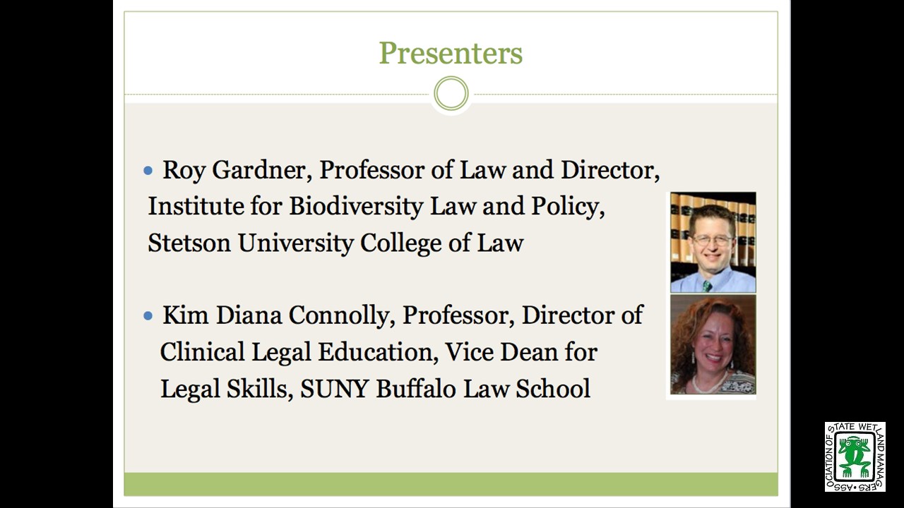
Panelists were Roy Gardner, Professor of Law and Director, Institute for Biodiversity Law and Policy, Stetson University College of Law and Kim Diana Connolly, Professor, Director of Clinical Legal Education, Vice Dean for Legal Skills, SUNY Buffalo Law School. Both panelists have extensive experience in Clean Water Act law and policy issues.
A PDF of the PowerPoint presentation is available here.
![]()
Clean Water Rule Webinar: Understanding Legal Challenges and Next Steps for the Clean Water Rule
Wednesday, August 24, 2015
On Monday, August 24, 2015 the Association of State Wetland Managers (ASWM) hosted a webinar on “Understanding Legal Challenges and Next Steps for the Clean Water Rule” with presentations by Roy Gardner, Professor of Law and Director, Institute for Biodiversity Law and Policy and Kim Diana Connolly, Professor, Director of Clinical Legal Education, Vice Dean for Legal Skills, SUNY Buffalo Law School. It was recorded and the webinar can be viewed below.
A PDF of the PowerPoint presentation is available here.
![]()
Wednesday, June 17, 2015
![]()
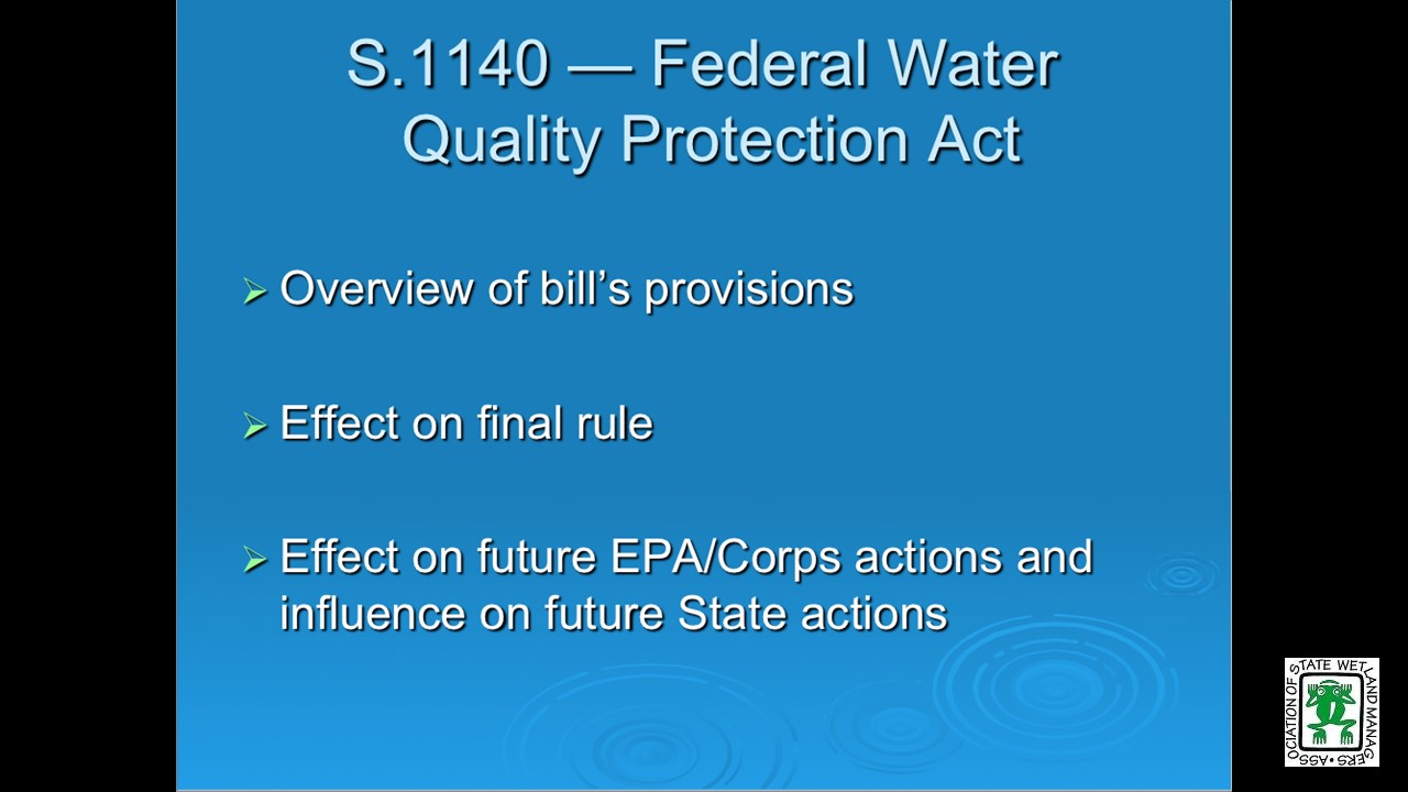
On Wednesday, June 17 the Association of State Wetland Managers (ASWM) held a webinar “Understanding the Final Clean Water Rule and Changes to CWA Jurisdiction Included in Senate Bill 1140” with presentations by Roy Gardner, Professor of Law and Director, Institute for Biodiversity Law and Policy and Kim Diana Connolly, Professor, Director of Clinical Legal Education, Vice Dean for Legal Skills, SUNY Buffalo Law School. Topics covered during the webinar included: an overview of changes to CWA jurisdiction under the new rule, a discussion of how the changes reflect the Carabell/Rapanos and SWANCC Supreme Court decisions and an overview of Senate Bill 1140, "The Federal Water Quality Protection Act". It was recorded and the webinar can be viewed below.
A PDF of the PowerPoint presentation is available here.
![]()
View Past Clean Water Act Webinars Here
| 2020 | 2019 | 2018 | 2017 | ||||||
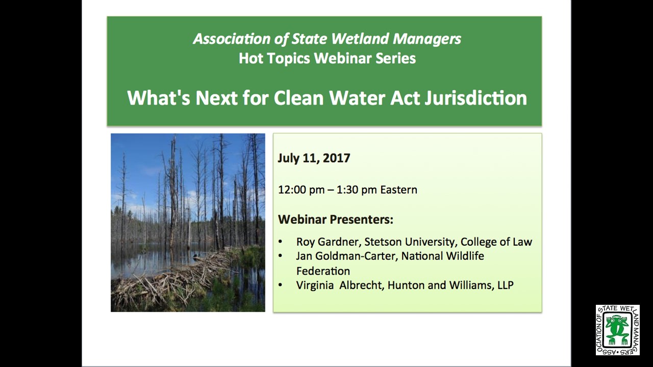
 What's Next for Clean Water Act Jurisdiction
Tuesday, July 11, 2017 - 12:00 p.m.-2:00 p.m. Eastern
INTRODUCTION
Jeanne Christie, Executive Director, Association of State Wetland Managers [POWERPOINT PRESENTATION]
PRESENTERS
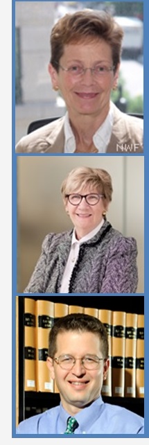
- Jan Goldman-Carter, National Wildlife Federation
- Virginia Albrecht, Hunton and Williams, LLP
- Royal C. Gardner, Stetson University, College of Law [POWERPOINT PRESENTATION]
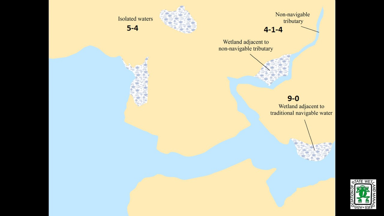
The U.S. Environmental Protection Agency (EPA) and the Department of Army (Army) are carrying out a two-step process to revise Clean Water Act Jurisdiction. The first step is to repeal the Clean Water Rule regulation finalized by EPA and the Army in the spring of 2015 and replace it with the 1986 rule previously in place in conjunction with the Rapanos guidance. Essentially this step formally adopts the current status quo which remains in place because the Clean Water Rule is stayed by the Sixth Circuit Court pending action by the court. The next step following the repeal and replace rulemaking will be a new rule based in part on the Scalia Opinion in the Rapanos decision.
As states, tribes, and others review the proposed rule and think about the rulemaking that is planned to follow it, there are many issues to consider. ASWM has invited legal experts representing diverse perspectives to share their insights to help webinar participants to understand the current process, issues of importance, and potential outcomes as these rulemaking efforts are carried out and later challenged in the courts.
BIOS
Virginia S. Albrecht is Special Counsel for Hunton and Williams. Her practice focuses exclusively on environmental law and administrative law --- in particular, the Clean Water Act (CWA) wetlands program, the Endangered Species Act (ESA), the National Environmental Policy Act (NEPA) and other federal regulatory programs that affect the use of land. She has experience in permit negotiation, litigation of policy issues, lobbying Congress and the Administration, enforcement defense, and compliance counseling. Representative clients include development companies, agricultural and mining companies, state and local agencies, and trade associations. She has extensive experience with federal environmental agencies both in Washington and in district and regional offices. Virginia is a member of the assumable waters subcommittee which EPA established in 2015 to obtain advice on the scope of waters that can be assumed and Administered by states under section 404 of the clean water act. She is also an adjunct professor for the University of Miami School of Law Program in Real Property Development. She received her JD from Vanderbilt University Law School, was Articles Editor of the Vanderbilt Law Review in1981, and received her MA in Communications from the University of Pennsylvania in 1970 and her BS from the University of Wisconsin in 1964. She has bar admissions in the District of Columbia.
Jan Goldman-Carter is Director, Wetlands and Water Resources for the National Wildlife Federation. She manages the NWF campaign to restore Clean Water Act protections and works to strengthen wetland and watershed protections regionally and nationally. Jan has lectured and written extensively on Clean Water Act and wetlands laws and programs since 1987. She received the EPA-ELI National Wetlands Award in 1993. Jan served as a wetlands specialist with the U.S. Fish and Wildlife Service, the U.S. Environmental Protection Agency, and the U.S. Army Corps of Engineers. She grew up on the edge of the "River of Grass" - the Everglades - and enjoys canoeing, kayaking, birding and otherwise being in and on the water. She received her B.A. in Biology and Environmental Studies from Williams College, Massachusetts, her M.S. in Natural Resources from the University of Michigan School of Natural Resources, and her law degree from the University of Minnesota.
Royal C. Gardner is Professor of Law and Director of the Institute for Biodiversity Law and Policy at Stetson University College of Law. He is an internationally recognized expert in wetland law and policy. Recent projects include advising the Government of Oman regarding wetland policy, coauthoring a U.S. Supreme Court amicus brief on behalf of environmental scientists, and creating an interdisciplinary course that facilitates discourse among experienced scientists, policymakers, and students.
His research and scholarship focus on U.S. and international wetland legal and policy issues, with an emphasis on biodiversity offsets. He has lectured in Africa, Asia, Europe, and North and South America.
Professor Gardner is the current chair of the Scientific and Technical Review Panel (STRP) for the Ramsar Convention, an intergovernmental wetland treaty with 168 countries. He also served on the Ramsar STRP as North American representative (2006–2008) and invited expert (2009–2012). He was chair of the U.S. National Ramsar Committee (2005–2008) and participated in the Ramsar Convention Conferences of the Parties held in Spain (2002), Uganda (2005), Korea (2008), and Romania (2012). In 2006, he won the National Wetlands Award for Education and Outreach. In 1999–2001, Professor Gardner was appointed to the National Research Council’s Committee on Mitigating Wetland Losses.
An executive editor of the Boston College Law Review and a member of the Order of the Coif, he graduated magna cum laude from Boston College Law School. He then clerked for Chief Judge Francis J. Boyle of the United States District Court for the District of Rhode Island. From 1989 to 1993, he served in the Army General Counsel’s office as the Department of the Army’s principal wetland attorney, advising the assistant secretary of the Army (civil works) on legal and policy issues related to the Corps of Engineers’ administration of the Clean Water Act section 404 program. From 1993 until he joined the Stetson faculty in 1994, Professor Gardner worked for the Department of Defense, where he participated in negotiating international agreements with Russia, Ukraine, Kazakhstan, and Belarus to facilitate the dismantlement of the former Soviet Union’s nuclear weapons.
Since joining the Stetson faculty, Professor Gardner has twice received Stetson University’s Homer and Dolly Hand Award for Excellence in Faculty Scholarship and has been voted the Outstanding Professor by the Stetson student body. He has taught at Stetson’s summer programs in Spain, Germany, Argentina, and Estonia, and has been a visiting professor at the Universidad de Málaga (Spain) and Concordia International University-Estonia, where he received the Outstanding Instructor Award. At Stetson, Professor Gardner has served as director of graduate and international programs, associate dean, vice dean, and interim dean.
|
The presentations for Jan Goldman-Carter and Virginia Albrecht are not available for viewing. |
![]()
Recorded Webinar: 2017 Annual State/Tribal/Federal Coordination Meeting
What's Next for Clean Water Act Jurisdiction:
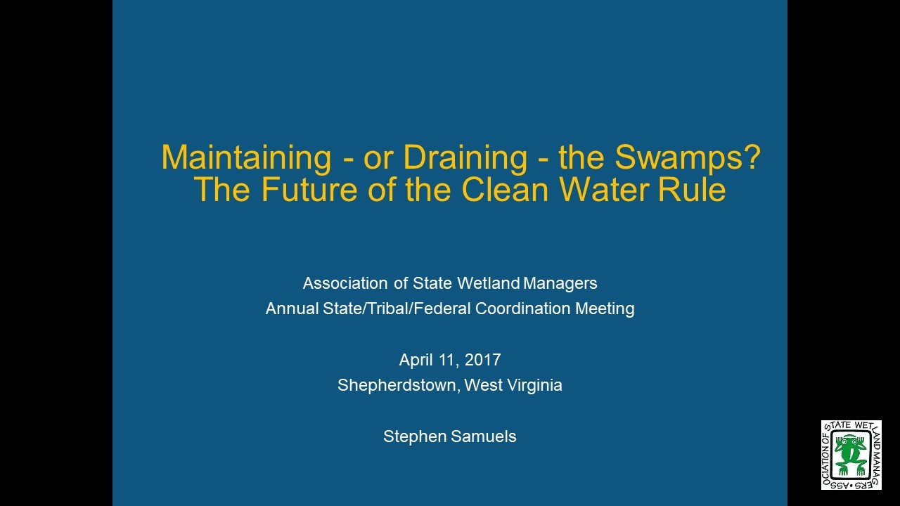
Maintaining - or Draining - the Swamps? The Future of the Clean Water Rule
Tuesday, April 11, 2017
INTRODUCTION
Jeanne Christie, Executive Director, Association of State Wetland Managers
ABSTRACT
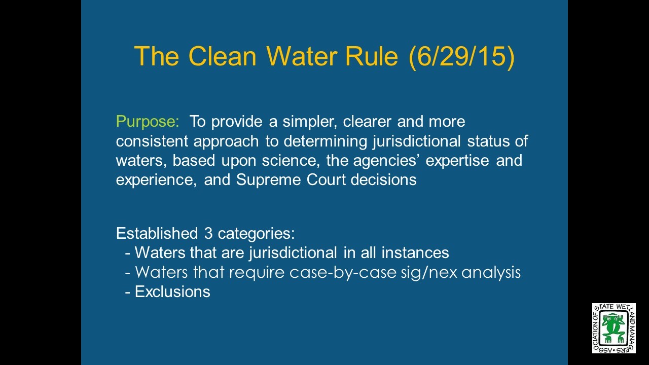
In the spring of 2017 the US Environmental Protection Agency and the Army Corps of Engineers are implementing Executive Order 13778 on Restoring the Rule of Law, Federalism, and the Economic Growth by Reviewing the ”Waters of the United States” Rule which directs the federal agencies to rescind the current Clean Water Rule and replace it. This recorded webinar by Stephen Samuels, retired, formerly with Department of Justice, provides information about the status of the currently stayed Clean Water Rule and the case that has been accepted to be heard in 2018 before the Supreme Court, as well as a succinct overview of Supreme Court decisions addressing Clean Water Act jurisdiction in recent decades through the present day.
PRESENTER
- Stephen Samuels, Retired, formerly with Department of Justice [POWERPOINT PRESENTATION]
BIO
Now retired, Stephen Samuels was previously Assistant Chief of the Environmental Defense Section of the Environment & Natural Resources Division of the U.S. Department of Justice. In that capacity, Mr. Samuels supervised a staff of 15 attorneys handling federal district court litigation involving all the major environmental pollution statutes. Mr. Samuels has 31 years of experience enforcing and defending the Clean Water Act Section 404 regulatory program. During that time, he helped lead the federal government’s litigation responses to the Supreme Court's decisions in SWANCC, Rapanos, Sackett and Hawkes. Until his retirement in January 2017, Mr. Samuels headed the DOJ litigation team that defended challenges to the Clean Water Rule. Mr. Samuels is a frequent speaker on Clean Water Act jurisdiction at conferences around the country. Mr. Samuels previously was an attorney with the U.S. Department of Energy and with the law firm of Breed, Abbott & Morgan. Mr. Samuels earned his J.D. in 1977 from Stanford Law School and his B.A. in 1974 from Tulane University.
![]()
View Past Clean Water Act Webinars Here
| 2020 | 2019 | 2018 | 2015 | ||||||
Publications
 The Association conducts research and publishes reports, guidebooks, news articles, brochures, white papers, and summaries of findings of symposia and workshops. These are available electronically to all interested individuals and organizations.
