Wetlands Assessment and Level I Mapping Techniques
Held November 28, 2012 – Rescheduled for November 28
PRESENTER
Please click only once on each video recording to view in this window.
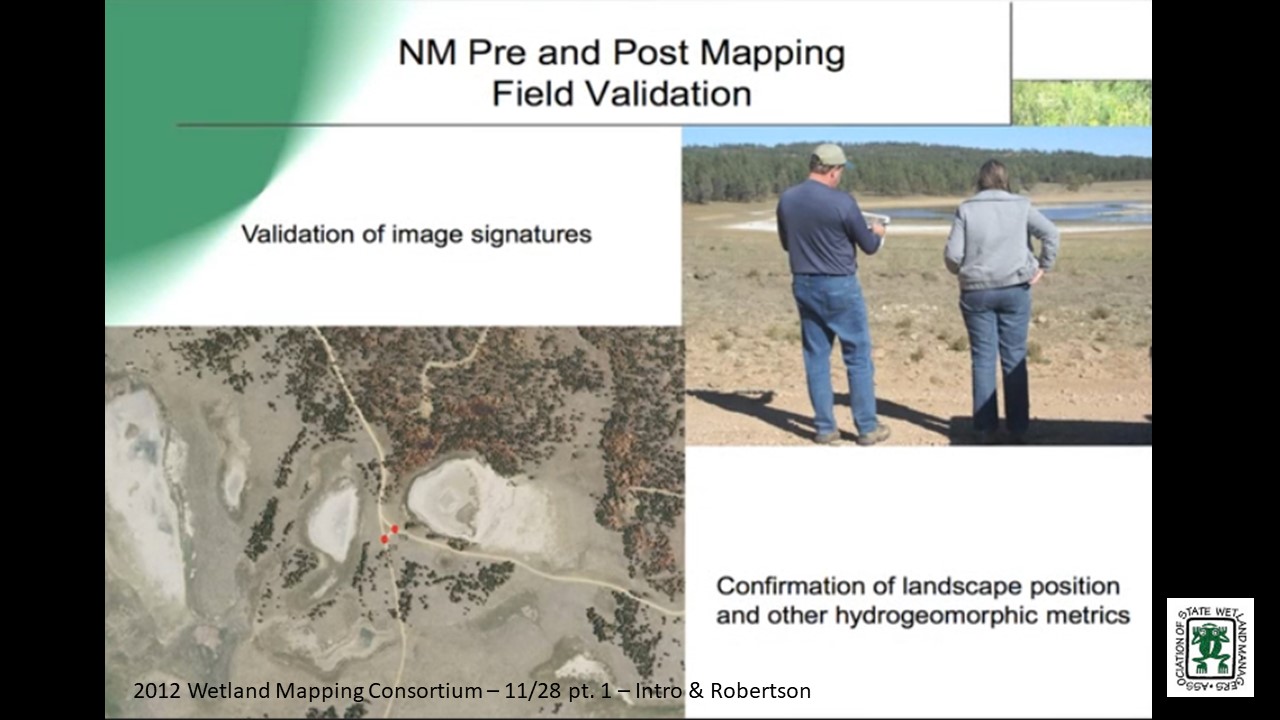
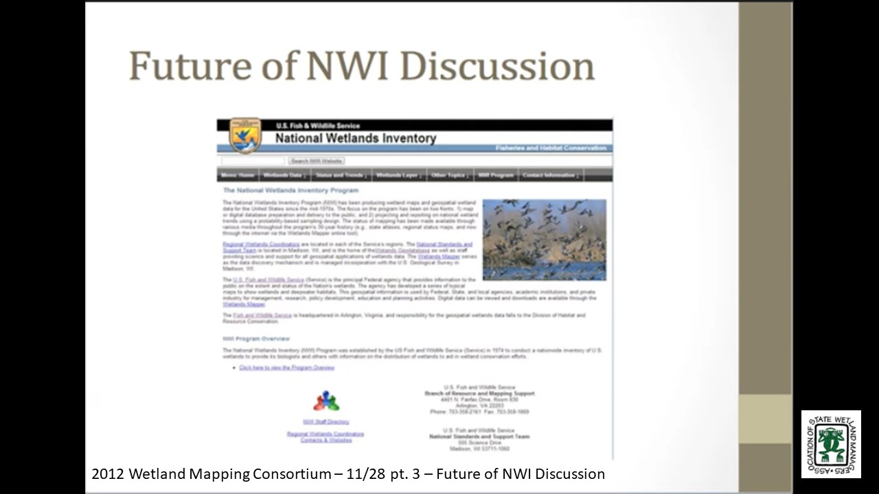
Part 1: Introduction: Jeanne Christie, Association of State Wetland Managers![]()
Presenter: Andy Robertson, St. Mary’s University of Minnesota![]()
![]()
![]()
![]()
![]()
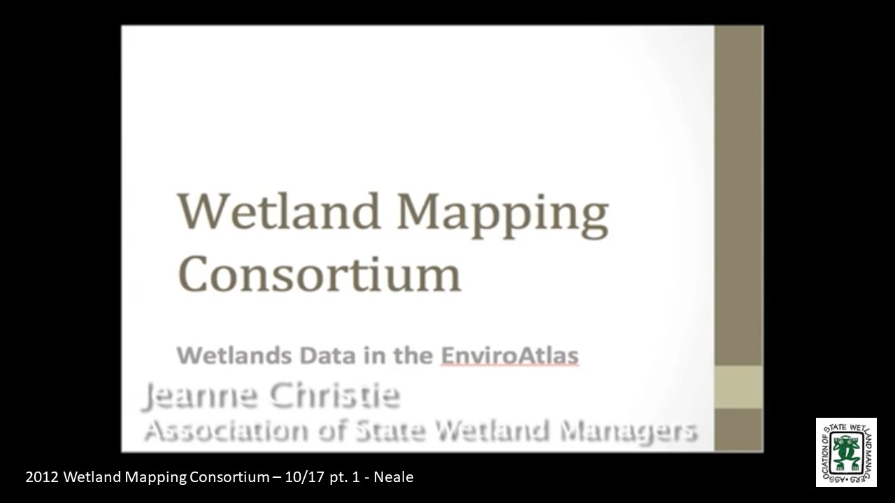
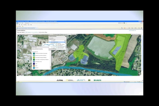
Wetlands Data in the National Atlas
Held October 17, 2012 – 3:00 p.m. EST
PRESENTER
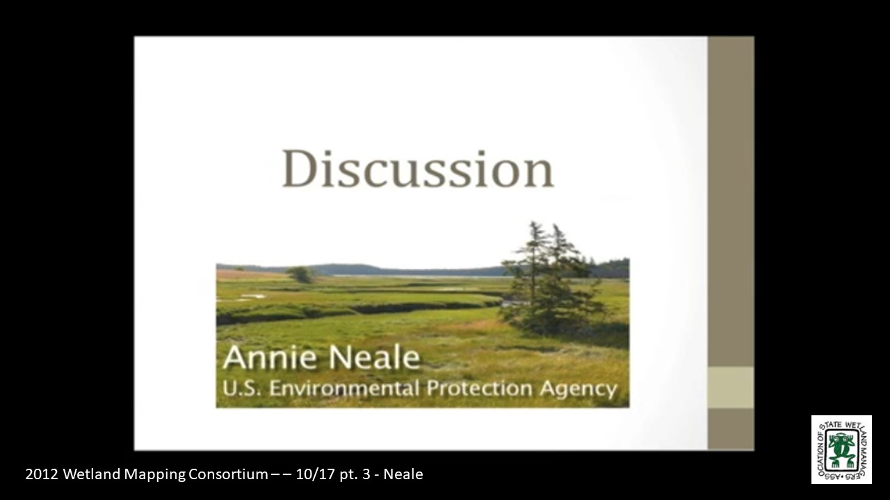
- Annie Neale, U.S. Environmental Protection Agency
Please click only once on each video recording to view in this window.
Part 1: Introduction: Jeanne Christie, Association of State Wetland Managers![]()
Presenter: Annie Neale, U.S. Environmental Protection Agency![]()
![]()

![]()
![]()
![]()
Held September 19, 2012 – 3:00 p.m. EST
Conference Call
Agenda
Welcome and Introductions
Recommended Topics for Future Webinars
SURRGO Wetland Soils Project Update
Discussion on 'How to' Map Natural Floodplains
Update on What Folks are doing
Wrap-up
Wetland Mapping Consortium Project Summary January 2012
![]()
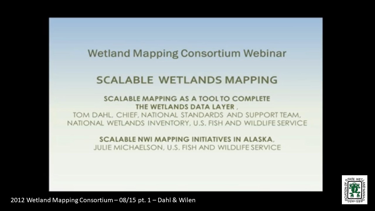
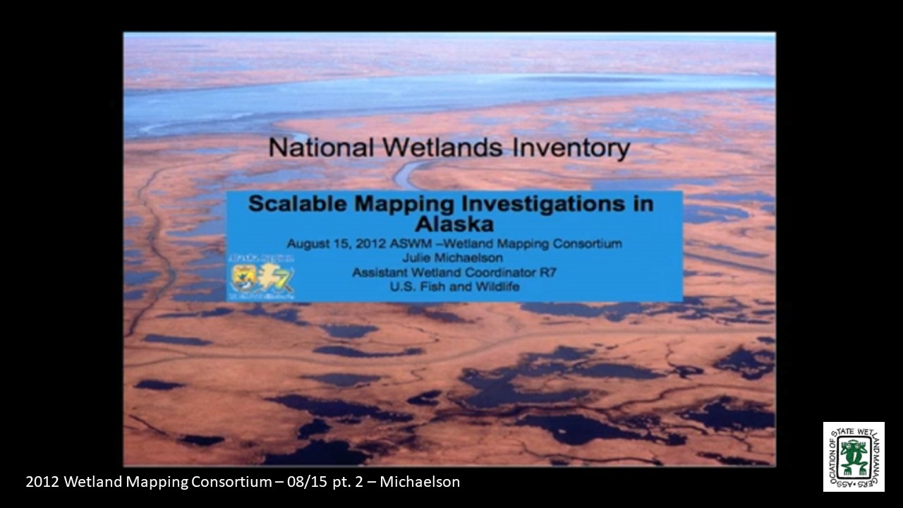
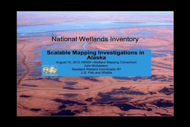
Held August 15, 2012 – 3:00 p.m. EST
PRESENTERS
- Tom Dahl, U.S. Fish and Wildlife Service
- Bill Wilen, U.S. Fish and Wildlife Service
- Jill Michaelson, U.S. Fish and Wildlife Service
Part 1: Introduction: Jeanne Christie, Association of State Wetland Managers
Please click only once on each video recording to view in this window.![]()
Presenters: Tom Dahl, Chief, National Standards and Support Team, National Wetlands Inventory, U.S. Fish and Wildlife Service and Bill Wilen, U.S. Fish and Wildlife Service![]()
![]()
![]()
![]()
![]()
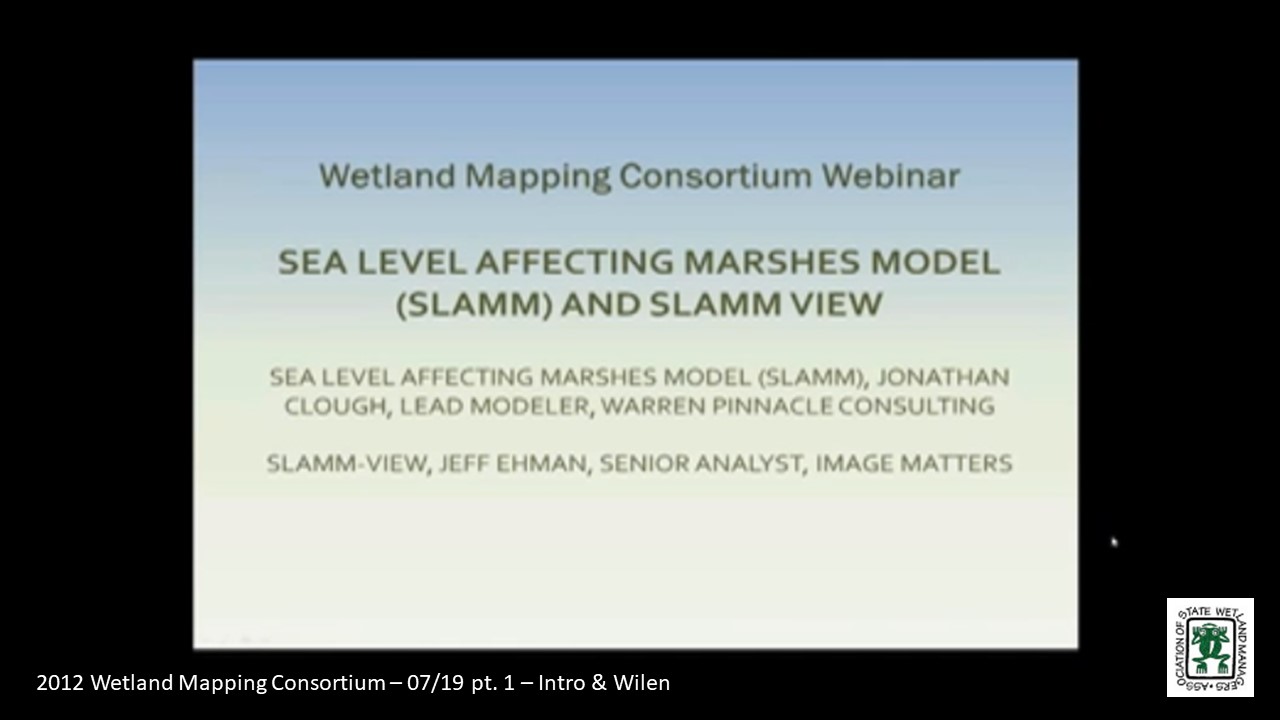
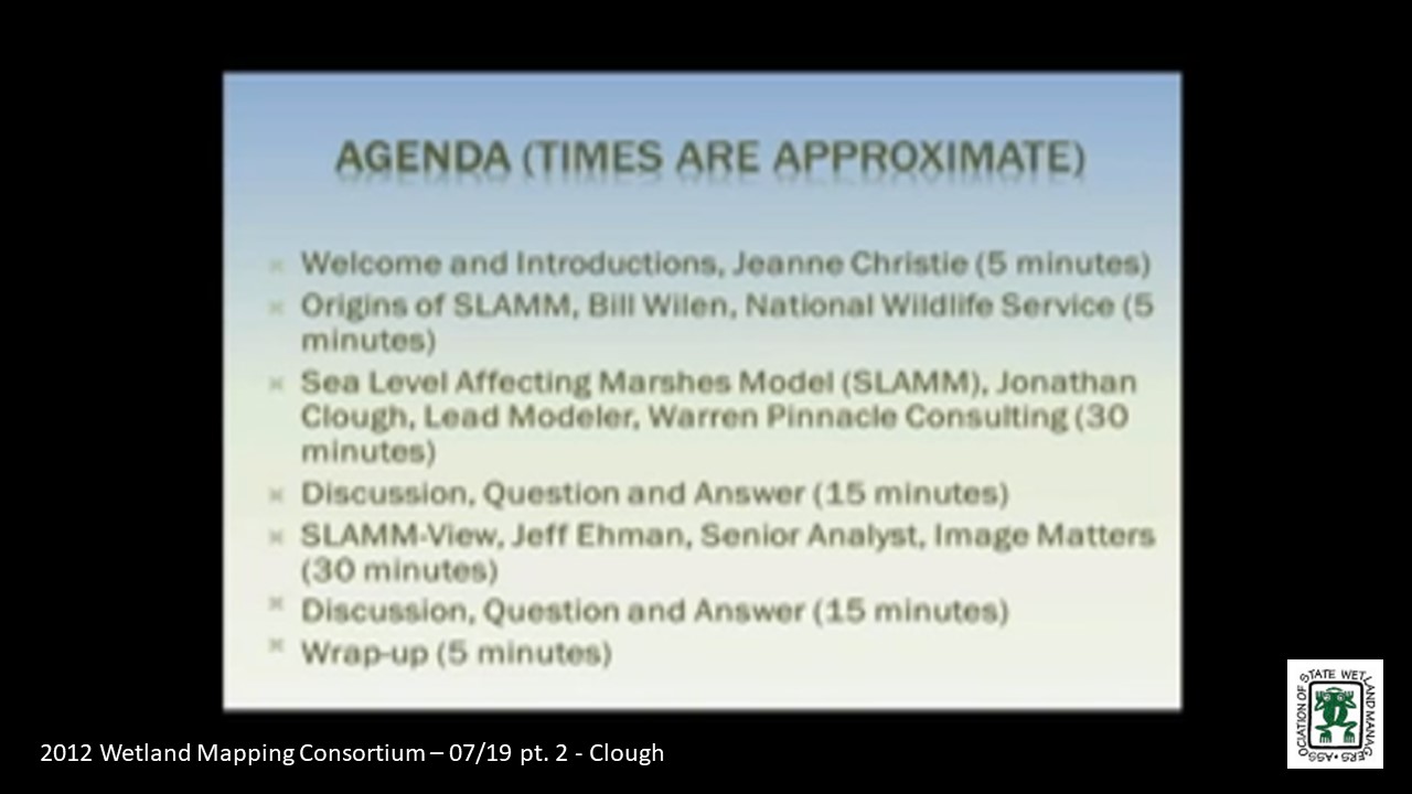
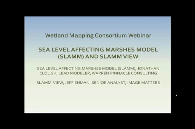
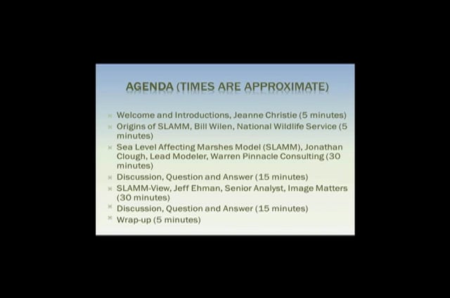
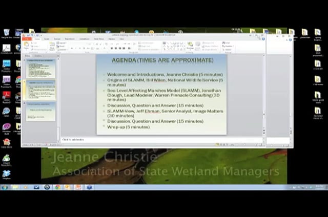
Sea Level Affecting Marshes Model (SLAMM) and SLAMM View
Held July 18, 2012 – 3:00 p.m. EST
Origins of SLAMM
- Bill Wilen, National Wildlife Service
Sea Level Affecting Marshes Model (SLAMM)
- Jonathan Clough, Lead Modeler, Warren Pinnacle Consulting
SLAMM-View
- Jeff Ehman, Senior Analyst, Image Matters
Please click only once on each video recording to view in this window.
Part 1: Introduction: Jeanne Christie, Association of State Wetland Managers![]()
Presenter: Bill Wilen, National Wetlands Inventory, U.S. Fish and Wildlife Service![]()
![]()
![]()
![]()
![]()
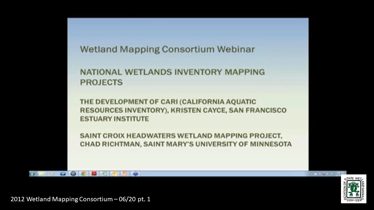
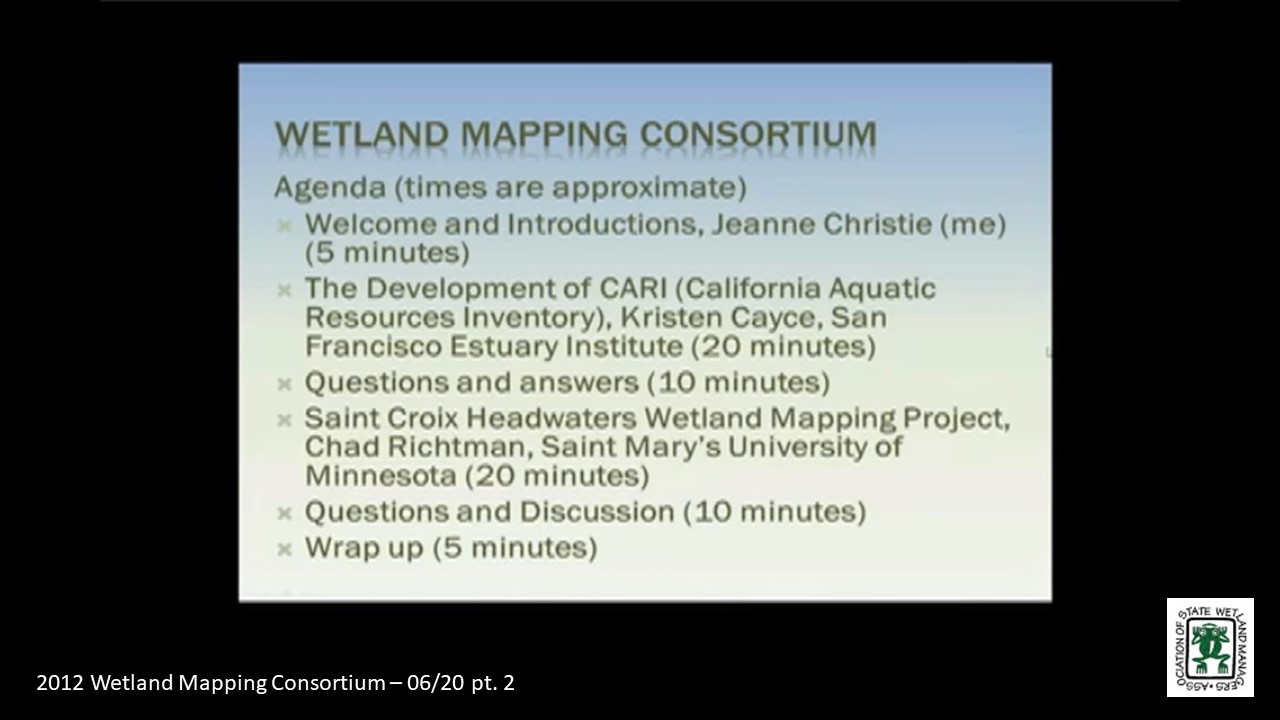
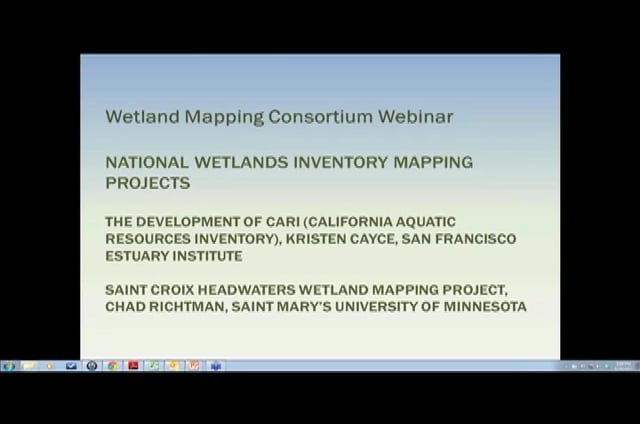
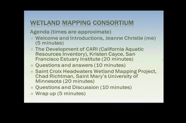
Held June 20, 2012 – 3:00 p.m. EST
Development of CARI (California Aquatic Resources Inventory)
- Kristen Cayce, San Francisco Estuary Institute
Saint Croix Headwaters Wetland Mapping Project
- Chad Richtman, Saint Mary’s University of Minnesota
Please click only once on each video recording to view in this window.
Part 1: Introduction: Jeanne Christie, Association of State Wetland Managers![]()
Presenter: Kristen Cayce, San Francisco Estuary Institute![]()
![]()
![]()
![]()
![]()
Held May 16, 2012 – 3:00 p.m. EST
Automation Techniques for Mapping Wetlands
- Image Segmentation for Wetlands Inventory: Data Considerations and Concepts – Patrick Donnelly, Intermountain West Joint Venture
- Updating The Minnesota national wetland inventory, An integrated Approach Using Object-Oriented Image Analysis, Human Air-Photo Interpretation and Machine Learning – Aaron Smith, Equinox Analytics, Inc.
Conference Call – April 23, 2012 – Training Needed for WMC SURGGO Dataset
![]()
Held April 18 – 3:00 p.m.-4:30 p.m. EST
National Enhanced Elevation Requirements and Benefits Assessment and New LiDAR Standards
- USGS LiDAR Guidelines and Base Specifications v.13 – Dave Maune, Dewberry
- Use of LiDAR for Wetland Mapping – Amar Nayegandhi, Dewberry
- National Enhanced Elevation Requirements and Benefits Assessment – Greg Snyder, U.S. Geological Survey
![]()
Held March 15, 2012 – 8:30 a.m.- 12:00 noon
Restorable Wetlands Database Panel
- Demonstration of the Potential Wetland Soils Landscapes (SSURGO) Data Set – John Galbraith, Virginia Tech
- LiDAR Based Topographic Wetness Index – Megan Lang, U.S. Department of Agriculture, Forest Service
- Identifying Potentially Restorable Wetlands in WY – Andy Robertson, Saint Mary’s University of Minnesota
- Innovations in Integrated Resource Mapping
- National Atlas for Sustainability
- Marie Venner, Venner Consulting
- Anne Neale, U.S. Environmental Protection Agency
- Obtaining National Coverage for NWI: Strategy Sessions
- Alaska Project, Andy Robertson, Saint Mary's University of Minnesota
- Discussion
- Discussion on Potential Wetland Soils Landscapes Data Set and questions for speakers – All (Time Permitting)
![]()
Potential Wetland Soil Landscapes (SSURGO) Data Set
Held February 15, 2012 – 3:00 p.m.- 5:00 p.m. EST
Potential Soil Landscapes Dataset
- John Galbraith, Virginia Tech
![]()
Wetland Identifiers/Proposed Changes to Cowardin Classification
Held January 18, 2012 – 3:00 p.m.- 4:30 p.m. EST
Proposed Changes to Cowardin Classification System
- Bill Wilen, U.S. Fish and Wildlife Service
Development of Technical Guidance on Unique Identifiers for Mapping and Monitoring Wetlands
-
Jane Awl
![]() View Past Wetland Mapping Consortium Webinars
View Past Wetland Mapping Consortium Webinars
PDF List of Past Wetland Mapping Consortium Webinar Recordings
View Upcoming Wetland Mapping Consortium Webinars