NWI Data in Support of Conservation Efforts and Habitat Modeling
Held Tuesday, December 3, 2019 - 3:00pm-4:00pm Eastern
PRESENTER
- Rusty Griffin, U.S. Fish and Wildlife Service
ABSTRACT
This session provided an overview of advances in NWI data, analysis, and novel methods to utilize NWI wetland data and Wetland Status and Trends reports to support conservation efforts. It highlighted the specific applications of these methods that have been utilized by the Fish and Wildlife Service in SSA (Species Status Assessment) development and highlight for broader wetland conservation.
BIO
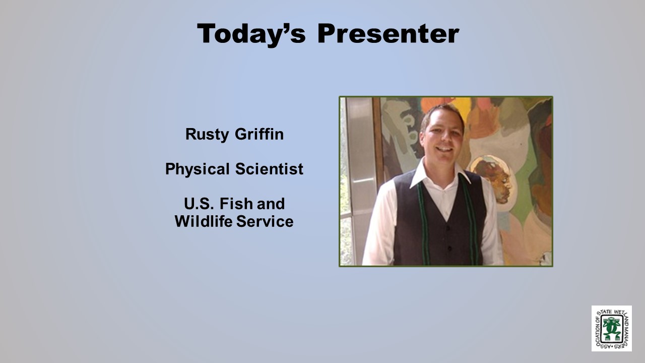
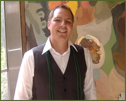 Rusty Griffin is a Physical Scientist for the U.S. Fish and Wildlife Service's, National Standards and Support Team in Madison Wisconsin. He is the National Wetlands Coordinator for the National Wetlands Inventory, responsible for quality assurance/quality control and national consistency for the wetlands layer of the National Spatial Data Infrastructure. Rusty has over 12 years of experience in wetland mapping – creating NWI maps as a private contractor and a federal employee, holds a B.S. in Geology from Portland State University, Masters of Natural Resources from Utah State, and is a member of the National Technical Committee for Hydric Soils.
Please click only once on each video recording to view in this window.
Part 1: Introduction: William Dooley, Policy Analyst, Association of State Wetland Managers
Presenter: Rusty Griffin, U.S. Fish and Wildlife Service


![]()
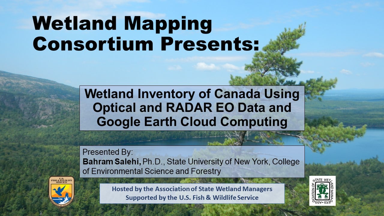
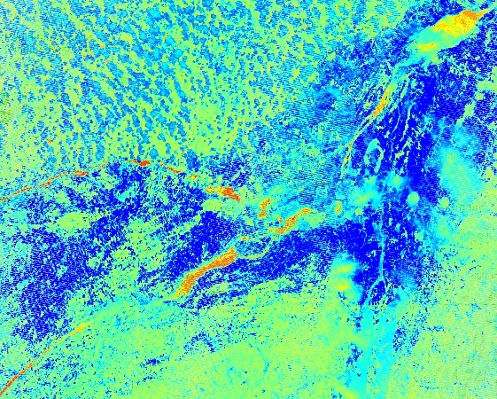
Wetland Inventory of Canada Using Optical and RADAR EO Data and Google Earth Cloud Computing
Held Wednesday, November 13, 2019 - 3:00pm-4:30pm Eastern
INTRODUCTION
- Marla Stelk, Executive Director, Association of State Wetland Managers [PRESENTATION PDF]
PRESENTER
- Bahram Salehi, PhD, PEng. Assistant Professor of Remote Sensing Engineering, State U of New York, College of Environmental Science and Forestry [PRESENTATION PDF]
ABSTRACT
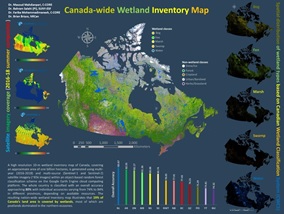
Wetland Inventory Map of CANADA
In this talk, I presented our most-recent wetland inventory map of Canada developed using an object-based random forest classification method built on the Google Earth Engine Cloud Computing Platform. The inventory was resulted from the processing of some 65000 optical and SAR Sentinel imagery, acquired in summers of 2016, 2017, and 2018. The map, covering all ten provinces and three northern territories, consists of five major wetland classes of bog, fen, marsh, swamp, and shallow water for all provinces and territories as well as other classes such as forests, cropland, urban, ice/snow depending on the existence of such classes in the specific province/territory. The overall classification accuracy of the entire country is about 80% with individual class accuracies ranging from 74% to 84%. Results show that 19% of Canada’s land areas is covered by wetlands, most of which are peatlands.
BIO
 Bahram Salehi is an Assistant Professor of Remote Sensing Engineering at the Department of Environmental Resource Engineering, College of Environmental Science and Forestry (ESF), State University of New York (SUNY) (https://www.esf.edu/faculty/salehi/) and an Adjunct Professor at Memorial University of Newfoundland, Canada. He has over 17 years of academic and industrial R&D experience in the broad area of remote sensing for both algorithm and application development. Dr. Salehi is the author (or co-author) of more than 40 peer-reviewed journal papers and book chapters and is an editorial board member at Remote Sensing – Open Access Journal. Bahram is the recipient of the 2019 CRSS-SCT Medal for “his early career achievements as a young scientist in the field of remote sensing and for his dedication to the Canadian Remote Sensing Society”.
Please click only once on each video recording to view in this window.
Part 1: Introduction: Marla Stelk, Executive Director, Association of State Wetland Managers
Presenter: Bahram Salehi, PhD, PEng., SUNY, College of Environmental Science and Forestry

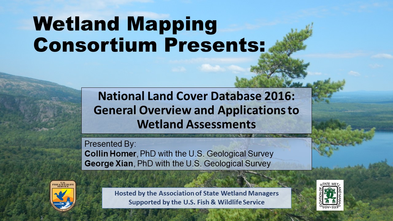
National Land Cover Database 2016, General Overview and Applications to Wetland Assessments
Held Wednesday, October 23, 2019
INTRODUCTION
- William Dooley, Policy Analyst, Association of State Wetland Managers[PRESENTATION PDF]
PRESENTERS
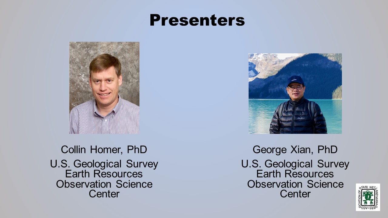
- Dr. Collin Homer, U.S. Geological Survey [PRESENTATION PDF]
- Dr. George Xian, U.S. Geological Survey [PPRESENTATION PDF]
ABSTRACTS
Collin Homer
The U.S. Geological Survey (USGS) in collaboration with the Multi-Resolution Land Characteristics Consortium (MRLC) has recently released the latest version of the National Land Cover Database (NLCD 2016) for the conterminous United States. This suite of products includes land cover and urban imperviousness for 2001-2016, tree canopy for 2011 – 2016 and new shrub/grass products for 1984-2016 across the conterminous U.S. NLCD 2016 offers users an unprecedented set of land cover and land cover change products which have been designed to further expand and advance NLCD applications. National results of the NLCD 2016 land cover product will be examined, with specific focus on class distribution patterns and prominent change patterns. Users can download all NLCD 2016 products here.
George Xiam
National Land Cover Database – Wetland
Wetlands provide important roles to maintain ecosystems health and to benefit society. Wetland type varies by vegetation type, structure and density, as well as soil and hydroperiod. The National Land Cover Database (NLCD) uses Landsat imagery and other ancillary data to map land cover and change for the nation. One of ancillary datasets used in NLCD is National Wetland Inventory (NWI) data. NWI is used to improve wetland mapping accuracy and to characterize wetland change. NLCD has two wetland types: woody wetland and herbaceous wetland. In this presentation, the efforts in mapping national wetland areas across conterminous United States were introduced. The presentation also focused on using the newly released NLCD 2016 products to assess national wetland distributions and change from 2001 to 2016 in every 2 to 3 years. The analysis results highlight national wetland conditions and changes in both national and regional scales.
BIOS
 Collin Homer is a Research Biologist and Director National Land Cover Database with U.S. Geological Survey (USGS), EROS Center. For over 25 years, Collin has been focused on the research and development of effective landscape scale remote sensing products, methods, and databases that address large area land cover and biological issues. This includes such products as the National Land Cover Database, and the North American Land Change Monitoring System. He serves as the coordinator of the Federal agency Multi Resolution Land Characteristics Consortium that coordinates National land cover production for 10 Federal agencies. He continues to conduct land cover change research and analysis at North American, National and Region scales, developing monitoring applications for biological, ecological, and climate science. He extensively collaborates with USGS Ecosystem scientists and BLM land managers and is currently located in the USGS Ecosystem office at Boise, Idaho. Collin has a BS in Geography from Weber State University, an MS in Wildlife Management, with Emphasis on Geographic Information Systems/Remote Sensing from Utah State University, and a PhD in Geospatial Science and Engineering from South Dakota State University.
 Dr. George Xian, a Research Physical Scientist, works on national land cover and land change research and applications using remote sensing data at U.S. Geological Survey (USGS) Earth Resources Observation and Science Center (EROS). He has extensive experiences in remote sensing data application for land cover characterization and land cover change assessment. He has specialized in using multi-type remote sensing data the USGS land resources monitoring and change projects as a science lead and a coordinator. He has developed a broad connection with scientific community in natural resources change monitoring and change assessment using remote sensing information. During the past 10 years, he has focused on using multi-type remote sensing data and environmental models for land cover characterization, environmental change analysis, and urban growth and associated environment effect assessments across the United States. He has published numerous peer reviewed journal articles and book chapters. He also serves as an editor-in-chief of the journal Remote Sensing Applications: Society and Environment.
Please click only once on each video recording to view in this window.
Part 1: Introduction: William Dooley, Policy Analyst, Association of State Wetland Managers
Presenter: Dr. Collin Homer, U.S. Geological Survey

![]()
National Riparian Areas Base Map: Development & Applications
Held Wednesday, October 2, 2019 - 3:00-4:30 p.m. Eastern
INTRODUCTION
- William Dooley, Policy Analyst, Association of State Wetland Managers [PRESENTATION PDF]
PRESENTERS
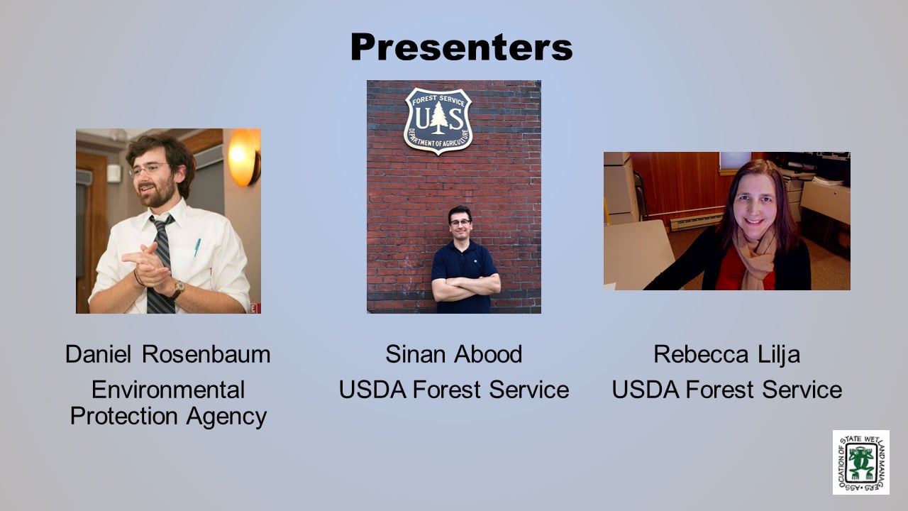
- Sinan Abood, U.S. Forest Service [PRESENTATION PDF]
- Daniel Rosenbaum, U.S. Environmental Protection Agency [PRESENTATION PDF]
- Rebecca Lilja, U.S. Forest Service [PRESENTATION PDF]
ABSTRACTS
Sinan Abood
Riparian zones are important natural resources that capture the transitional area between terrestrial and aquatic ecosystems with specific vegetation and soil characteristics which provides irreplaceable values/ecosystem functions and are very responsive to changes in land management activities. Delineating and quantifying riparian areas is an essential step in riparian inventory monitoring, planning, management, and policy decisions and also, in preserving its valuable ecological functions. The Riparian Buffer Delineation model (RBDM)v5.x recognizes the dynamic and transitional nature of riparian areas by accounting for hydrologic, geomorphic and vegetation data as inputs. Here we present and for the first time a national riparian areas base map in 1:100K scale at 10-meter spatial resolution and the associated modeling technique.
Daniel Rosenbaum
When considering a classification of riparian areas, high resolution (1 meter) offers significantly more in the way of detail, adding 900 one-meter pixels for every pixel of a 30-meter product (e.g., National Land Cover Dataset). As cloud-based computing continues to be mainstreamed into remote sensing, platforms like Google Earth Engine showcase powerful parallel processing abilities and on-the-fly data visualizations that lend themselves well to classifying large geographic areas quickly, but with steep learning curves and challenges that can make getting a refined product difficult. This project, still incomplete, sets out to classify functional and fixed-width riparian zones using Google Earth Engine and to test the capabilities of Google Earth Engine for developing high resolution land cover classifications. Results from this project are compared to products developed for EPA’s EnviroAtlas ecosystem service web tool.
Rebecca Lilja
Using the National Riparian Area Base Map in Forests to Faucets 2.0
Forests to Faucets 2.0 is an update to the 2011 Forests to Faucets assessment and utilizes the new National Riparian Area Base Map to determine the percent of the riparian area that is natural cover in each subwatershed across the Continental US. Using these data and other biophysical characteristics, the Forests to Faucets 2.0 evaluates a subwatersheds natural ability to produce clean water, identifies those subwatersheds important to downstream surface drinking water supplies, and estimates the potential risks to these watersheds from fire, insect and disease, water quantity, and development.
BIOS
 Sinan Abood is a Research Scientist with Watershed, Fish, Wildlife, Air & Rare Plants program at the USDA Forest Service-Washington office. PhD in environmental engineering focused on GIS and remote sensing applications. His research interests include remote sensing, GIS/geospatial programming, UAS applications, machine learning and developing geospatial models for environmental applications. He is interested in developing applied spatial solutions to quantify and monitor earth resources. He developed and maintained Riparian Buffer Delineation Model (RBDM) for mapping riparian areas utilizing free available datasets. For more information, go here.
 Daniel Rosenbaum is an Oak Ridge Institute for Science and Education (ORISE) participant at the United States Environmental Protection Agency in the Office of Research and Development in Research Triangle Park, NC. At the EPA, his work has been on the EnviroAtlas project working on high resolution land cover classifications, web tool development, and public health research. He holds a Master of Science in Public Health from the University of North Carolina, Chapel Hill.
 Rebecca Lilja is a Geospatial Information Systems (GIS) Specialist with the USDA Forest Service, Eastern Region, State & Private Forestry located in Durham, NH. She has been assessing the connection between forests and water since 2005, and is an author of Forests, Water and People: Drinking water supply and forest lands in the Northeast and Midwest United States (2009), Private forests, housing growth, and America’s water supply: A report from the Forests on the Edge and Forests to Faucets Projects (2014), and Forests to Faucets 2.0 (2019).
Please click only once on each video recording to view in this window.

Part 1: Introduction: William Dooley, Policy Analyst, Association of State Wetland Managers
Presenter: Sinan Abood, U.S. Forest Services


![]()
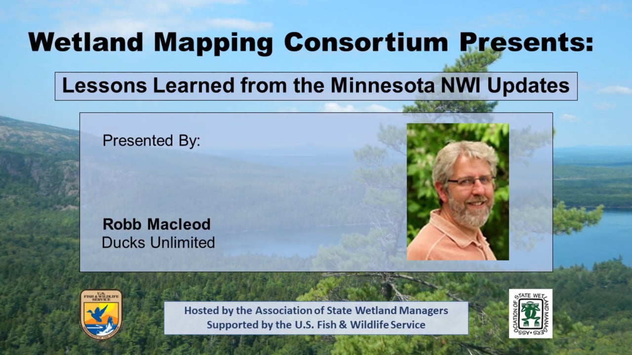
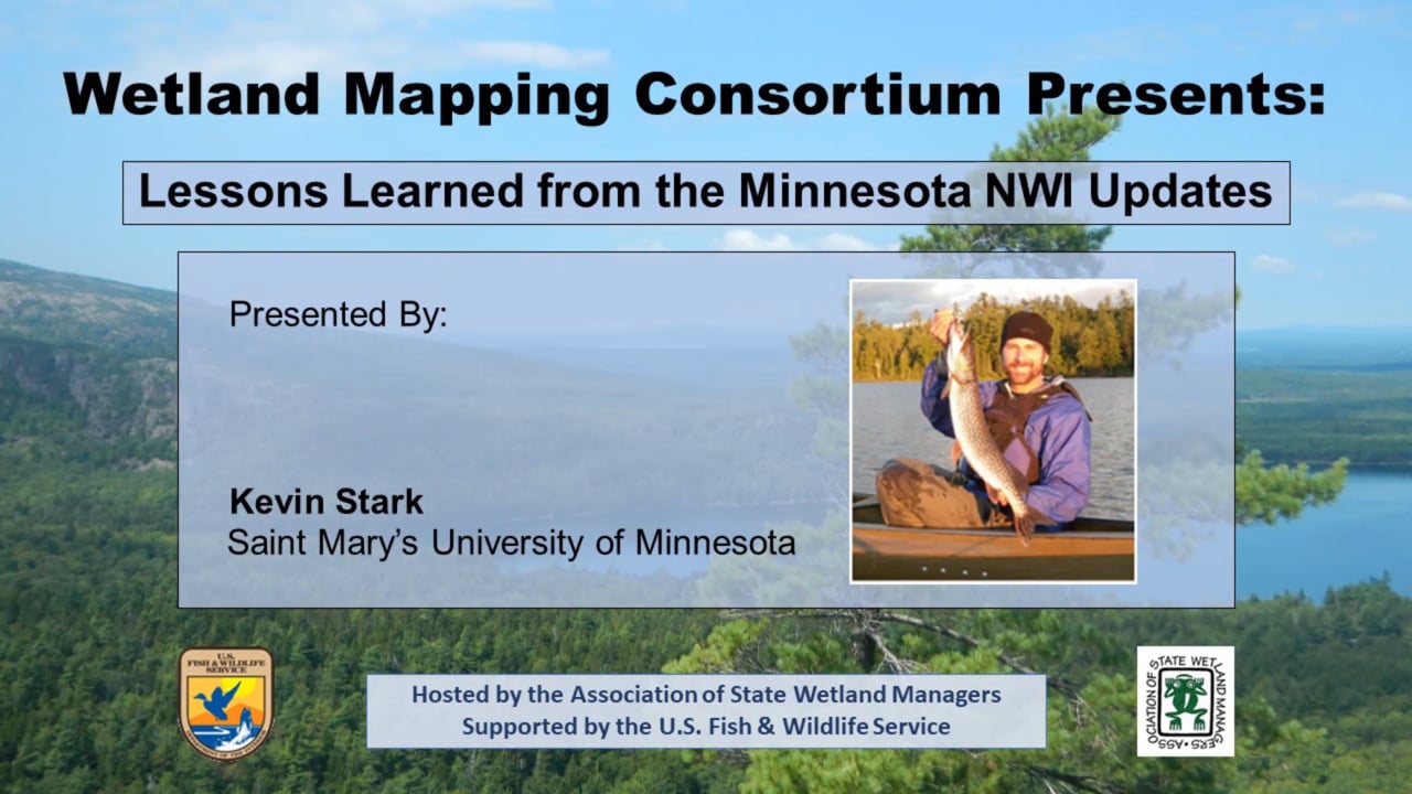
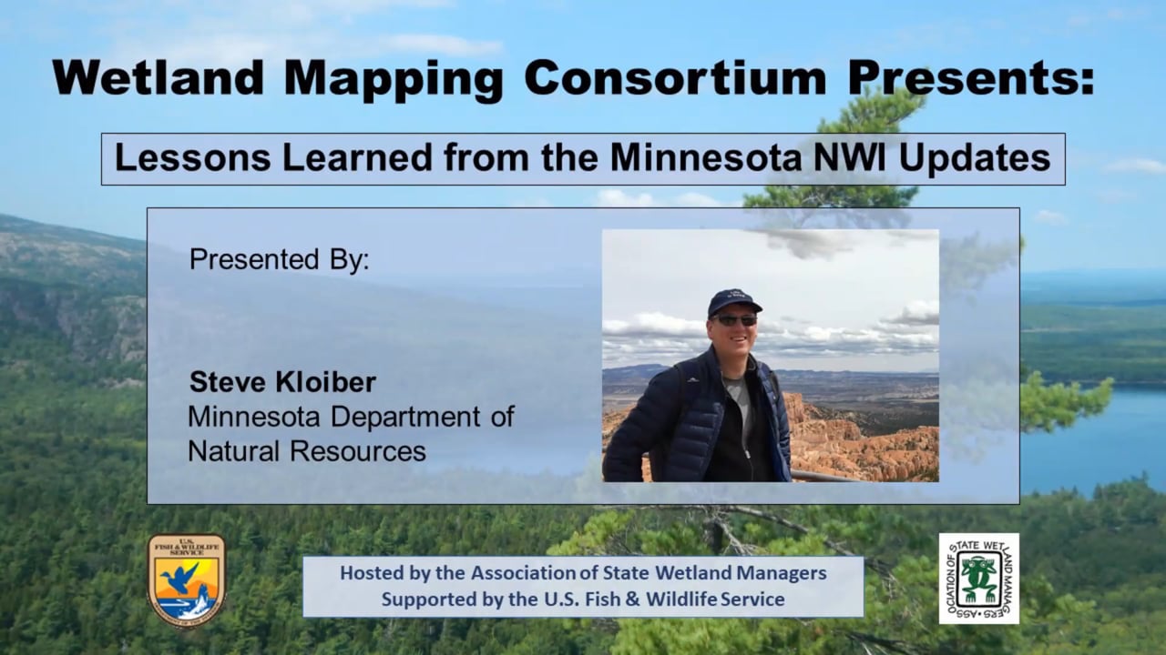
Lessons Learned from the Minnesota NWI Update
Held Wednesday, September 4, 2019 - 3:00pm-4:30pm EDT
INTRODUCTION
- William Dooley, Policy Analyst, Association of State Wetland Managers[POWERPOINT PRESENTATION]
PRESENTERS
- Steve Kloiber, Minnesota Department of Natural Resources
- Robb Macleod, Ducks Unlimited
- Kevin Stark, Saint Mary’s University of Minnesota
[JOINT POWERPOINT PRESENTATION]
ABSTRACT
The Minnesota Department of Natural Resources has completed a 10-year effort to update the state’s National Wetlands Inventory maps for the first time since the U.S. Fish and Wildlife Service completed wetland mapping roughly four decades ago. Updating the inventory was critical for continued support of wetland planning and management needs. As such, the update reflects the latest technology in remote sensing and mapping. This presentation provided an overview of the project including, partners, methods, timeline, and costs. We also presented and discussed the lessons learned from this project and provide thoughts on future directions for wetland mapping.
BIOS
 Steve Kloiber was the wetland monitoring coordinator for the DNR, where he oversaw the update of the National Wetland Inventory and the wetland status and trends monitoring program. He recently started a new position at the Minnesota DNR as the Lake Ecology Unit Supervisor. Prior to working at the DNR, he was the lead environmental analyst for the Metropolitan Council of the Twin Cities, and he served on the Nine Mile Creek Watershed District Board for 12 years. He has over 25 years of experience in water resources and GIS. He received his masters and PhD from the University of Minnesota in environmental engineering with a minor in water resources science.
 Robb Macleod is the National GIS Coordinator for Ducks Unlimited. He has been working for Ducks Unlimited in the GIS and Remote Sensing field for over 25 years. His current duties include coordinating all of the geospatial activities for Ducks Unlimited. Robb has been active in mapping wetlands in the Great Lakes for over 19 years with previous experience mapping wetlands and land cover in Alaska.
 As the assistant director, Kevin Stark is responsible for co-management of GeoSpatial Services projects and staff. GeoSpatial Services is engaged in a wide variety of projects across the Lower 48 and Alaska including National Wetland Inventory; National Hydrography Dataset updates; spatial data development; and, natural resource condition assessments. In his 13-year tenure at GeoSpatial services, Kevin has worked on a wide variety of projects from the first National Park Service - Natural Resource Condition Assessment to several landscape-scale wetland functional assessments and many GIS data development and analyses projects. To date, he has directly contributed to wetland mapping and assessment projects in 9 different states. Kevin received a B.S in Forestry from the University of Wisconsin – Stevens Point and an M.S. in Geographic Information Science from Saint Mary’s University of Minnesota.
Please click only once on each video recording to view in this window.

Part 1: Introduction: William Dooley, Policy Analyst, Association of State Wetland Managers
Presenter: Steve Kloiber, Minnesota Department of Natural Resources


![]()
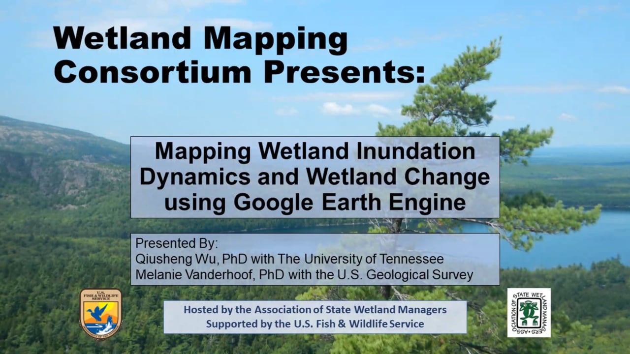
Mapping Wetland Inundation Dynamics and Wetland Change using Google Earth Engine
Held Wednesday, August 21, 2019 - 3:00pm-4:30pm EDT
INTRODUCTION
- William Dooley, Policy Analyst, Association of State Wetland Managers [PRESENTATION PDF]
PRESENTERS
- Qiusheng Wu, PhD, University of Tennessee [PRESENTATION PDF]
- Melanie Vanderhoof, PhD, U.S. Geological Survey [PRESENTATION PDF]
ABSTRACTS
Qiusheng Wu, PhD
Wetlands are dynamic ecosystems exhibiting inter- and intra-annual inundation dynamics. By integrating Light Detection and Ranging (LiDAR) data and multi-temporal 1-m resolution NAIP imagery, we developed a fully automated approach to delineate wetland inundation extent at watershed scales in the Prairie Pothole Region using Google Earth Engine (GEE). Our automated algorithm provides a practical, reproducible, and scalable framework, which can be easily adapted to delineate wetland inundation dynamics at broad geographic scales. The GEE source code for this project is available here.
Melanie Vanderhoof, PhD
Melanie, in collaboration with U.S. EPA, Region 3, presented early-stage findings for an ongoing research project to concurrently track bare soil disturbance and surface water dynamics across the Mid-Atlantic Region. The project aims to (1) distinguish temporary water losses (e.g., droughts) from permanent water losses (e.g., wetland fill), and (2) reduce the limitation of Landsat to detect small or narrow water bodies. The algorithms are run in Google Earth Engine using the Landsat archive.
BIOS
 Qiusheng Wu is an Assistant Professor in the Department of Geography at the University of Tennessee, Knoxville. His research interests include Geographic Information Science (GIS), remote sensing, and environmental modeling. More specifically, he is interested in applying geospatial big data, machine learning, and cloud computing (e.g., Google Earth Engine) to study environmental change, especially surface water and wetland inundation dynamics. He has developed and maintained various open-source packages for advanced geospatial analysis, which are available on GitHub. More information about his research can be found here.
 Melanie Vanderhoof is a Research Geographer with the U.S. Geological Survey in Denver, Colorado. She received her PhD in Geography from Clark University in Worcester, Massachusetts. Her research uses diverse sources of satellite imagery to explore how ecosystems change over time. In recent years her research has focused on both wetlands and river system dynamics as well as patterns in post-fire condition and regeneration. She is particularly interested in efforts to distinguish changes induced by climate anomalies from changes induced by shifts in human land use.
Please click only once on each video recording to view in this window.
Part 1: Introduction: William Dooley, Policy Analyst, Association of State Wetland Managers

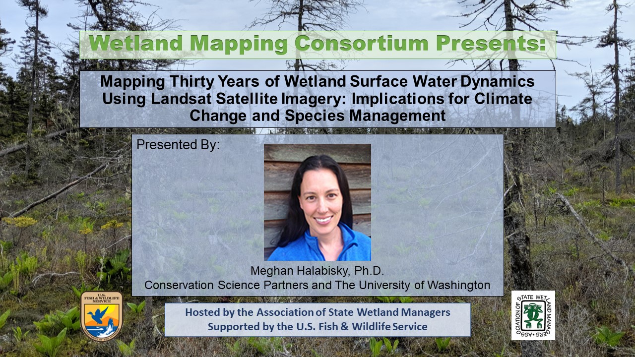
![]() Mapping Thirty Years of Wetland Surface Water Dynamics Using Landsat Satellite Imagery: Implications for Climate Change and Species Management
Mapping Thirty Years of Wetland Surface Water Dynamics Using Landsat Satellite Imagery: Implications for Climate Change and Species Management
Held Thursday, June 20, 2019 - 3:00 p.m.-4:30 p.m. Eastern
INTRODUCTION
William Dooley, Policy Analyst, Association of State Wetland Managers [PRESENTATION PDF]
PRESENTERS
- Meghan Halabisky, Ph.D., Lead Scientist with Conservation Science Partners [PRESENTATION PDF]
- Amanda Kissel, Ph.D., Lead Scientist with Conservation Science Partners [PRESENTATION PDF]
ABSTRACT
Wetlands are dynamic systems with complex hydrological regimes. Here we presented a novel sub-pixel remote sensing technique of a time series of Landsat satellite imagery to reconstruct long-term and seasonal surface water dynamics for individual wetlands at the landscape scale. In addition to describing these methods we illustrated two applications; mapping and modeling historic change and climate change impacts to wetlands and species habitat mapping for amphibians in the California Central Valley.
BIOS
 Meghan Halabisky is a lead scientist at Conservation Science Partners and a research scientist at the University of Washington Remote Sensing and Geospatial Analysis Lab (RSGAL). Her interests lie in understanding ecosystem dynamics and landscape change through the development and application of high-resolution remote sensing tools. She completed her PhD at the University of Washington, where she worked to characterize the response of wetland ecosystems to historic and future climate by reconstructing surface water hydrographs for thousands of wetlands in Washington State, and using a combination of aerial and satellite imagery. Meghan has a background in conservation management, having previously worked as an operations planner for the Oahu Invasive Species Committee. She has a concurrent master’s – MS/MPA from the Evans School of Public Affairs at the University of Washington.
 Amanda Kissel is an applied ecologist interested in how we can use species’ life history data linked to biotic and abiotic processes to both forecast declines and quantify the potential for recovery within a population or a species. Her work has covered a range of conservation issues, from recovering populations on the brink of extirpation to understanding how climate change will affect currently stable populations of montane amphibians. The common thread that ties her research together is providing a strong, quantitative framework for decision-making (present and future) that is grounded in species’ biology. Amanda has 14 years of field and research experience across various landscapes in the Western US and Canada. She received her PhD in 2017 from Simon Fraser University in Vancouver, BC, where she was a member of the Earth to Ocean research group. She recently returned to her home state of Colorado to be part of the CSP team.
For more information about the Wetland Mapping Consortium, related topics and resources, visit ASWM’s website here.
Please click only once on each video recording to view in this window.
Part 1: Introduction: William Dooley, Policy Analyst, Association of State Wetland Managers
Presenter: Meghan Halabisky, Ph.D., Lead Scientist with Conservation Science Partners


![]() View Past Wetland Mapping Consortium Webinars
View Past Wetland Mapping Consortium Webinars
PDF List of Past Wetland Mapping Consortium Webinar Recordings
View Upcoming Wetland Mapping Consortium Webinars