Webinars & Trainings
 The National Association of Wetland Managers (NAWM) and Saint Mary’s University of Minnesota – Geospatial Services (SMUMN GSS) developed this online training series focused on a variety of water quality and aquatic resource management issues identified by tribal members and staff as those areas which will provide long-term benefits to tribal personnel. The online training modules have been developed to augment in-person training workshops and are available on-demand to assist in training new tribal staff and to provide a refresher for more experienced tribal water quality and aquatic resource managers.
Target Audience:
The target audience for these training modules is tribal water quality and aquatic resources staff, including wetland and aquatic resource field staff, tribal water quality and aquatic resource managers, and Tribal Nation members; other interested parties may include water quality/resource professionals at state agencies, local municipalities, non-governmental organizations, and private consulting companies.
List of Tribal Clean Water Act Training Modules:
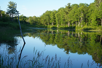
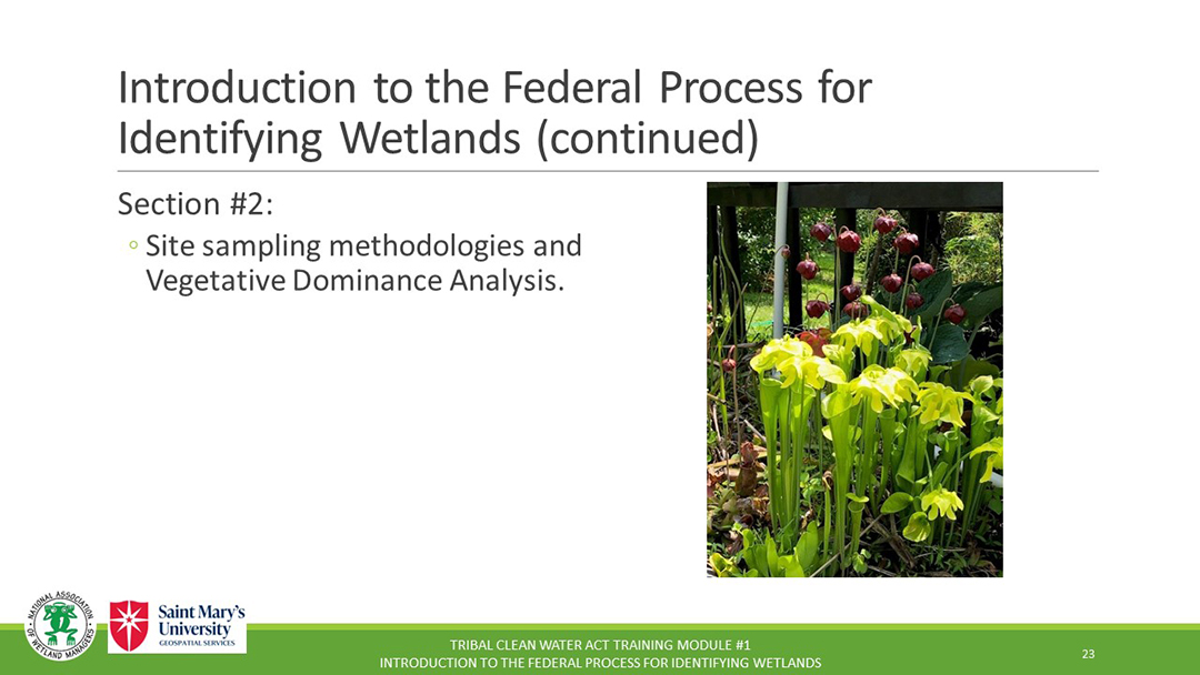
Module 1: Introduction to the Federal Process for Identifying Wetlands
Module 2: Data Management
Module 3: Treatment as a State (TAS)
Module 4: Thinking Geospatially
Module 5: Introduction to Tribal Water Quality Standards
Optional Module Quiz and Certificate of Completion for Use in Applying for Continuing Education Credits (CEUs)
Each online module in the Tribal Clean Water Act Training Series is accompanied by an optional knowledge assessment quiz available through ClassMarker. The quiz assesses understanding of the key take-away points of the training module.
Please Note, Scheduled Maintenance: ClassMarker will be doing scheduled maintenance on Saturday, December 20 at 6:00 p.m. ET for 5 to 6 hours. During this time, you will not be able to get certificates for webinars or online trainings during this period.
To receive a Certificate of Completion for the selected online module, participants must certify that they viewed the online training and complete the quiz with a minimum score of eighty percent (80%) for the knowledge-based questions. Participants scoring less than eighty percent of the knowledge-based questions correctly will be provided one additional opportunity to pass the quiz (total of two attempts).
![]()
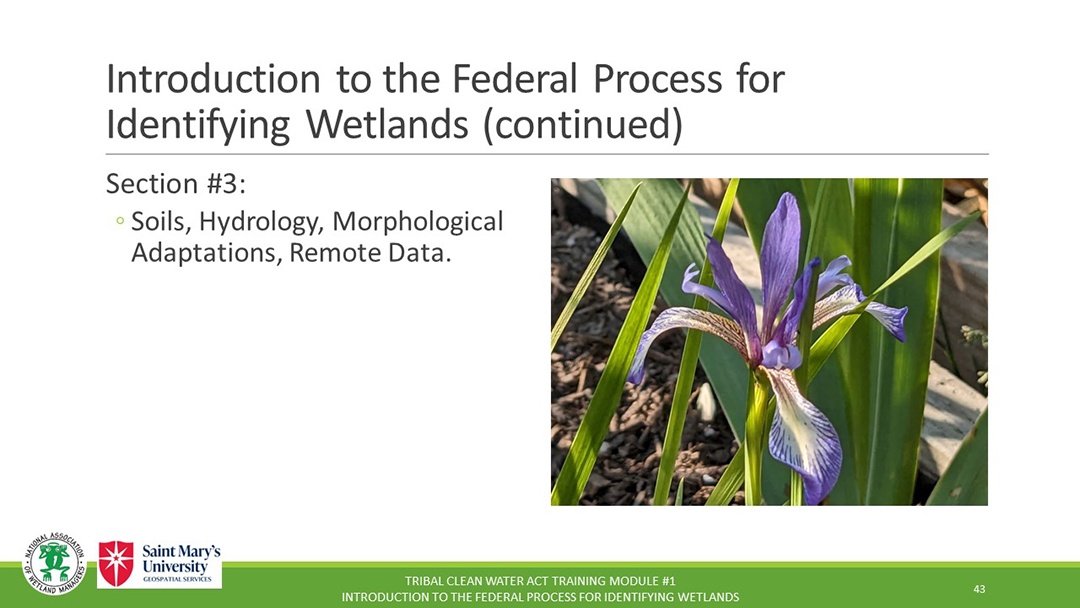
Module 1: Introduction to the Federal Process for Identifying Wetlands
MODULE DESCRIPTION
This training module is an introduction to the federal process for identifying wetlands and wetland determination methodologies. An overview of each of the three parameters used to identify a wetland (hydrophytic vegetation, hydric soils, and wetland hydrology) and criteria will be provided.
MODULE LEARNING OBJECTIVES
By taking part in this online training, participants should be able to:
- Understand the basics of the Corps 1987 Manual for identifying wetlands.
- Become familiar with the three-parameter approach to wetlands identification.
- Understand the routine method for sampling wetlands manual parameters.
- Gain a knowledge of the regionalization of the manual, plant frequency of occurrence, hydric soil indicators and supporting documentation. And-
- Be prepared for a weeklong manual field training course.
TRAINER
- Jeff Lapp, National Association of Wetland Managers [PDF Presentation]
Part 1: Introduction: Project Manager: Portia Osborne, Project Manager, National Association of Wetland Managers
Project Trainer: Jeff Lapp, National Assocation of Wetland Managers

 To Take the Quiz and Receive a Certificate of Completion for this Module
To access the module quiz, select the Module 1 Quiz button to transfer to the ClassMarker system. Upon successful completion of the module quiz, you will be eligible for a Certificate of Completion for 1.5 hours of training.
MODULE DESCRIPTION
This training covers basic principles for effective data management and introduces two systems used by the EPA for submitting and sharing water-related data and information: WQX and ATTAINS.
MODULE LEARNING OBJECTIVES
By taking part in this online training, participants should be able to:
1. Practice some basic principles for effective data management
2. Give a short definition/explanation of metadata.
3. Understand what WQX and ATTAINS are and can do for your program.
4. Explain, generally, what a Quality Assurance Project Plan (QAPP) is.
5. Understand where/how data assessment fits into the data life cycle.
TRAINER
- Kathy Allen, SMUMN GSS Natural Resource Analyst [PDF Presentation]
Part 1: Introduction: Project Manager: Portia Osborne, Project Manager, National Association of Wetland Managers
Project Trainer: Kathy Allen, Saint Mary's University of MN - GeoSpatial Services
 To Take the Quiz and Receive a Certificate of Completion for this Module
To access the module quiz, select the Module 2 Quiz button to transfer to the ClassMarker system. Upon successful completion of the module quiz, you will be eligible for a Certificate of Completion for 1.5 hours of training.
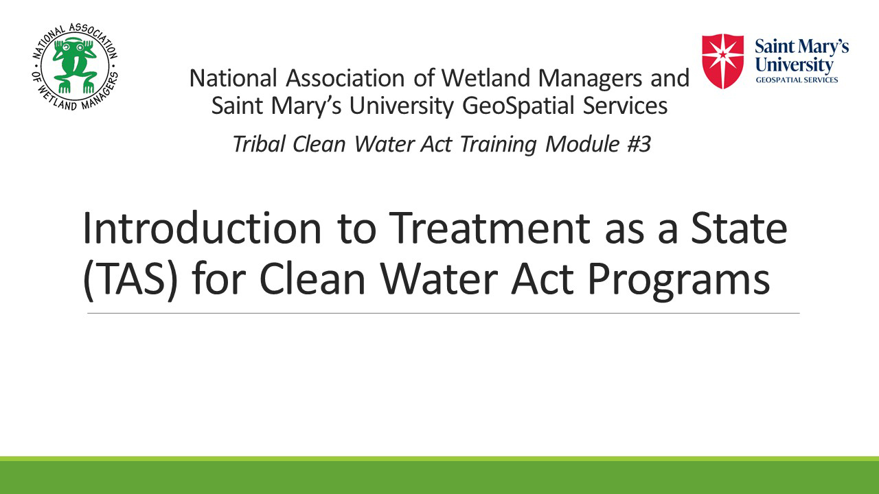
Module 3: Treatment as a State (TAS)
MODULE DESCRIPTION
This training will provide an overview of Treatment as a State (TAS), including the process of obtaining TAS approval from EPA and a review of the regulatory programs and grant programs under which Tribes may apply for TAS.
MODULE LEARNING OBJECTIVES
By taking part in this online training, participants should be able to:
1. Understand the cooperative federalism approach that underlies the CWA.
2. Know which CWA programs can be administered by Tribes with TAS.
3. Become familiar with basic requirements for getting TAS.
4. Understand additional requirements to getting TAS for specific programs.
5. Be able to discuss considerations for when your Tribe is deciding whether to seek TAS.
TRAINER
- Donna Downing, National Association of Wetland Managers [PDF Presentation]
Part 1: Introduction: Project Manager: Portia Osborne, Project Manager, National Association of Wetland Managers
![]()
Project Trainer: Donna Downing, National Association of Wetland Managers![]()
![]()
![]()
![]()

To Take the Quiz and Receive a Certificate of Completion for this Module
To access the module quiz, select the Module 3 Quiz button to transfer to the ClassMarker system. Upon successful completion of the module quiz, you will be eligible for a Certificate of Completion for 1 hour of training.
![]()
Module 4: Thinking Geospatially
MODULE DESCRIPTION
This training will introduce geospatial tools and techniques as they relate to clean water management on the landscape. Benefits and examples of using available geospatial tools will be introduced.
MODULE LEARNING OBJECTIVES
By taking part in this online training, participants should be able to:
1. Define "geospatial".
2. Understand the potential benefits of "thinking geospatially".
3. Gain Confidence in taking action to explore a question with geospatial components.
TRAINER
- Elise Rosengren, St. Mary's University of Minnesota [PDF Presentation]
Part 1: Introduction: Project Manager: Portia Osborne, National Association of Wetland Managers
![]()
Project Trainer: Elise Rosengren, St. Mary's University of Minnesota![]()
![]()
![]()
![]()

To Take the Quiz and Receive a Certificate of Completion for this Module
To access the module quiz, select the Module 4 Quiz button to transfer to the ClassMarker system. Upon successful completion of the module quiz, you will be eligible for a Certificate of Completion for 1 hour of training.
![]()
Module 5: Introduction to Tribal Water Quality Standards
MODULE DESCRIPTION
This training will introduce water quality standards generally and provide an overview of how Tribes can develop standards and why they might wish to do so.
MODULE LEARNING OBJECTIVES
By taking part in this online training, participants should be able to:
1. Understand how water quality standards fit into the broader CWA statutory scheme.
2. Know the different parts of a water quality standards, and what roles Tribes, federal agencies, and states may play in play in developing those standards.
3. Become familiar with the process for a Tribe to receive “treatment in a manner similar to a state” (TAS) for water quality standards.
4. Be able to discuss considerations for receiving TAS for water quality standards developed under the CWA, as opposed to developing and implementing standards under tribal law.
5. Understand how water quality standards for wetlands might look different than for other types of resources.
TRAINER
- Donna Downing, National Association of Wetland Managers [PDF Presentation]
Part 1: Introduction: Project Manager: Portia Osborne, National Association of Wetland Managers

![]()
Project Trainer: Donna Downing, National Association of Wetland Managers![]()
![]()
![]()
![]()
 To Take the Quiz and Receive a Certificate of Completion for this Module
To access the module quiz, select the Module 5 Quiz button to transfer to the ClassMarker system. Upon successful completion of the module quiz, you will be eligible for a Certificate of Completion for 1 hour of training.
![]()
You will need to develop username and password in ClassMarker for each online quiz. Once you click on the quiz link, you will be prompted again to provide your name and email address. This will be used to process your certificate.
Participants who both view the module presentation and successfully complete the module quiz are eligible for an NAWM Certificate of Completion.
To receive your certificate, you must BOTH:
1. Certify that you completed viewing the Tribal Wetland Programs training module video presentation. Answering “no” will result in no certificate being issued.
2. Complete all knowledge quiz questions with the required minimum of eighty percent (80%) of the questions answered correctly. You will be provided two attempts to take the quiz for the module. If at the end of your second attempt you have not been able to achieve a minimum score of eighty percent, you will not be eligible to receive a certificate.
You will be prompted to download your Certificate of Completion from ClassMarker after you complete the quiz. Once you download your certificate, you can then submit the certificate to the accrediting organization of your choice to potentially receive continuing education units/credits.
If you did not answer at least 80% of the quiz questions correct on your first attempt, you can re-take the test one more time (total of two attempts). Return to the NAWM module page and START the test again (vs Resume).
You must use the same email, username and password for the second quiz attempt for this same module. ClassMarker will recognize your email for the specific training module and will not charge you for the second attempt. If you do not achieve at least 80% of the quiz questions correct on your second attempt, you will not be eligible to receive a Certificate of Completion.
If you have any questions, please contact Laura Burchill at laura@nawm.org or contact the NAWM office at (207) 892-3399.
![]()
The National Association of Wetland Managers has several online training series available to view on demand.
We've recently updated the format of the Hydric Soils series, returning to its original four module training series. It was designed for wetland field practitioners who need expertise in hydric soils and seek to understand how hydric soils are formed and to recognize and interpret the information they provide when observed in the field.
Most modules are free to view with the option to test your knowledge and earn Certificates of Completion. For more information, click the module(s) that you are interested in.
Become a NAWM Member to view these trainings and take the accompanying quizzes at no additional charge.
NAWM Members: Log in to your Members' Portal to view Online Trainings.
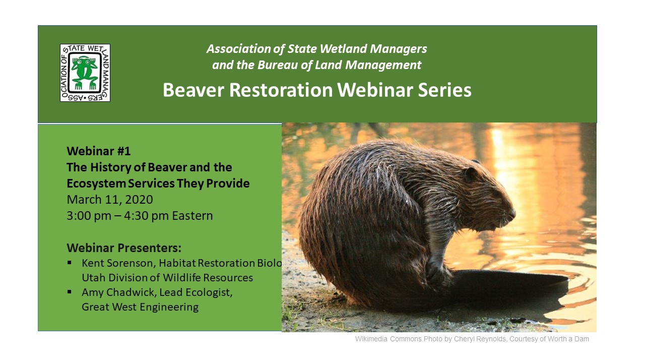
 The National Association of Wetland Managers (NAWM) and the Bureau of Land Management (BLM) collaborated to develop a series of webinars introducing the topic of restoration of aquatic ecosystems through the reintroduction of beavers, the use of beaver dam analogues (BDAs) or restoration designed to attract beavers to an area to contribute to changing hydrology and restoring ecosystem services. This webinar series was developed with guidance from a national workgroup of beaver restoration experts with presentations provided by practitioners, managers and researchers working in the field. The webinar series covers the basics of beaver restoration and continues through implementation challenges and ways to encourage beaver restoration projects.
List of Webinars in the Training Series (6 modules)
Module 01: The History of Beaver and the Ecosystem Services They Provide
Module 03: Case Studies of Long-term Changes from Beaver Restoration Activities
Module 04: Addressing Common Barriers and Objections to Beaver Restoration Work
Module 05: Coalition Building for Beaver Based Stream and Wetland Restoration Success
Module 06: Beaver Restoration for Climate Resiliency
Optional Module Quiz and Certificate of Completion for Use in Applying for Continuing Education Credits (CEUs)
Each online module in the Beaver-Related Restoration Training Series is accompanied by an optional knowledge assessment quiz available through ClassMarker. The quiz assesses understanding of the key take-away points of the training.
Please Note, Scheduled Maintenance: ClassMarker will be doing scheduled maintenance on Saturday, December 20 at 6:00 p.m. ET for 5 to 6 hours. During this time, you will not be able to get certificates for webinars or online trainings.
NAWM Members - as a benefit of membership, you will have the opportunity to download a free Certificate of Completion for each module quiz that you pass. Log In to the membership portal to access the learning modules and quizzes.
Non-Members - you have free access to view the learning modules. There is a $25.00 USD fee per module to take the online quiz towards achieving a Certificate of Attendance. Secure payment is made through PayPal, either with a PayPal account or with the guest option, using a credit card.
![]()
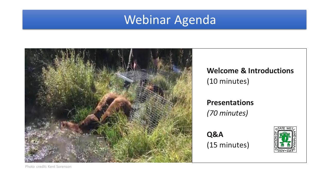
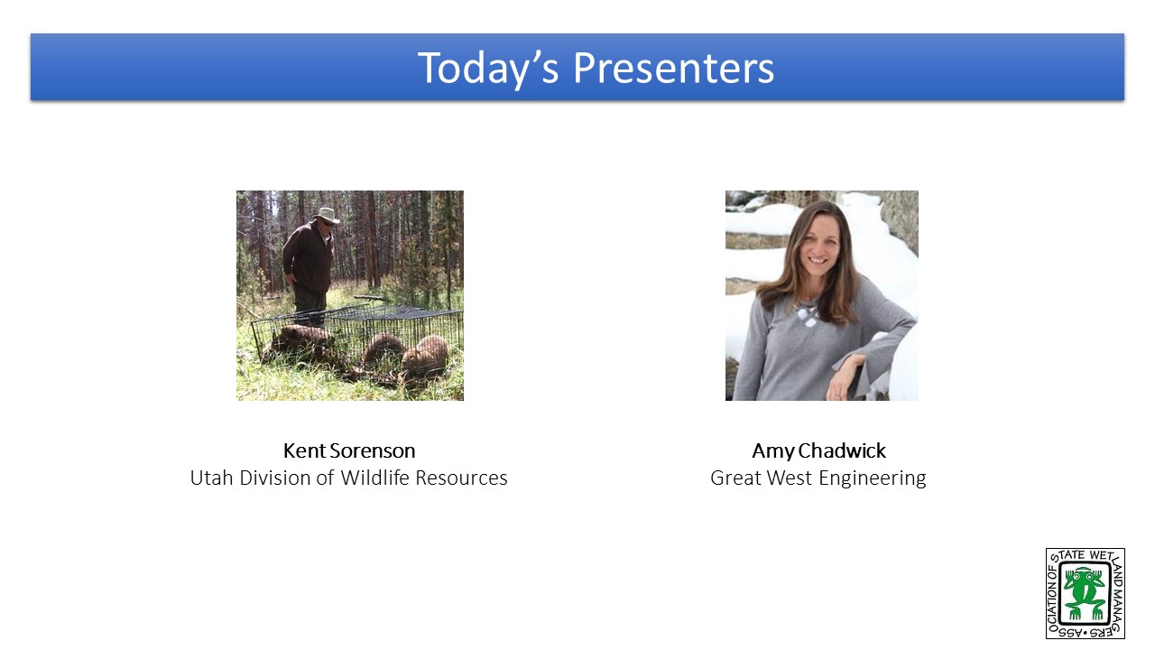
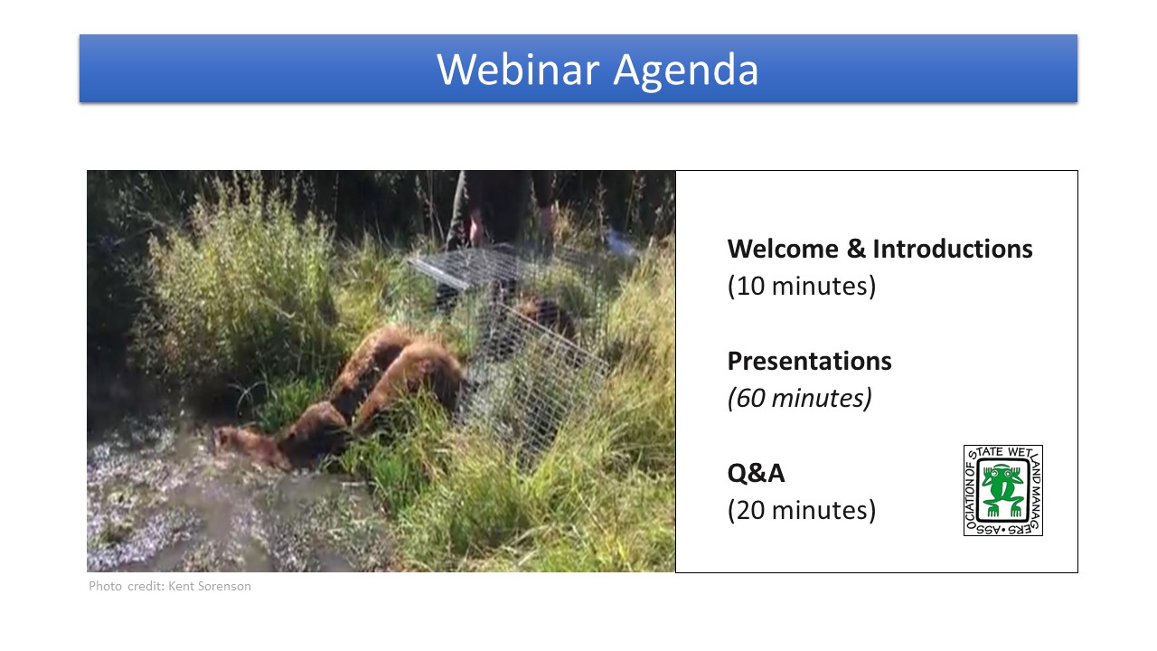
Module 1: The History of Beaver and the Ecosystem Services They Provide
PRESENTERS
- NAWM Introduction [PowerPoint Presentation]
- Kent Sorenson, Habitat Restoration Biologist, Utah Division of Wildlife Resources [PowerPoint Presentation]
- Amy Chadwick, Lead Ecologist, Great West Engineering [PowerPoint Presentation]
ABSTRACT
This first training in the National Association of Wetland Managers (NAWM) and Bureau of Land Management (BLM) co-hosted six-part training series on beaver restoration provided the historical background of beaver on the land and the impacts from loss of beaver (through various hunting, trapping and removal activities) in terms of hydrology. This training shares what valley bottoms can be with restoration of hydrology and the role that beavers and beaver dam analogs (BDAs) can play in that restoration. The training explains the Stage Zero concept and unpack the challenges created by common practices that have been restoring streams to their first point of failure.
LEARNING OBJECTIVES
As a result of participating in this training, participants will better understand:
- The history of beaver on the land
- Impacts from loss of beaver in terms of hydrology
- What valley bottoms can be (and that many don’t know)
- The Stage Zero concept
Part 1: Introduction: Brenda Zollitsch, Association of State Wetland Managers
Presenter: Kent Sorenson, Habitat Restoration Biologist, Utah Division of Wildlife Resources

 To Take the Quiz and Receive a Certificate of Completion for this Module
If you are a current NAWM Member, Log In here. If you are not an NAWM Member, there is a $25.00 USD fee per module quiz. To proceed with payment and access the module quiz, select the Module 1 Quiz button to transfer to the ClassMarker system. Upon successful completion of the module quiz, you will be eligible for a Certificate of Completion for 1.5 hours of training.
![]()
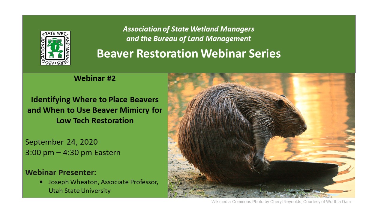
Module 2: Identifying Where to Place Beavers and When to Use Beaver Mimicry for Low Tech Restoration in the Arid West
PRESENTER
- NAWM Introduction [PowerPoint Presentation]
- Joe Wheaton, Associate Professor, Utah State University [PowerPoint Presentation]
ABSTRACT
This second training in the NAWM-BLM Beaver Restoration Training Series focuses on making decisions about where beaver restoration and/or the use of beaver dam analogs (BDA) can have the greatest positive and least negative impacts. Understanding that beaver restoration is not well-suited for all contexts and purposes, this training discusses risk assessment and introduces participants to the primary elements required to assess the efficacy of beaver projects for specific watersheds and sites. The training shares how data can be used to make decisions about different kinds of flow devices and when beaver mimicry/BDAs make more sense. It also includes a demonstration of Utah State University’s Beaver Restoration Assessment Tool (BRAT), a model that helps planners assess key parameters (such as human interaction, hydrological setting, etc.) essential to beaver work. The training ends with discussion about the importance of post-construction monitoring.
LEARNING OBJECTIVES
As a result of participating in this training, participants will better understand:
- How to complete a risk assessment
- Many assumptions are made w/o data
- The importance of monitoring (esp. where some may require large post-construction monitoring)
- Information about different kinds of flow devices
- When beaver mimicry/BDAs make more sense and environmental responses to mimicry work
- Considering beaver in urban settings
Part 1: Introduction: William Dooley, Association of State Wetland Managers
Presenter: Joe Wheaton, Associate Professor, Utah State University
 To Take the Quiz and Receive a Certificate of Completion for this Module
If you are a current NAWM Member, Log In here. If you are not an NAWM Member, there is a $25.00 USD fee per module quiz. To proceed with payment and access the module quiz, select the Module 1 Quiz button to transfer to the ClassMarker system. Upon successful completion of the module quiz, you will be eligible for a Certificate of Completion for 1.5 hours of training.
![]()
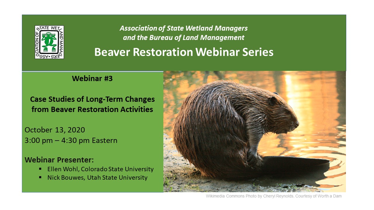
Module 3: Case Studies of Long-term Changes from Beaver Restoration Activities
PRESENTERS
- NAWM Introduction [PowerPoint Presentation]
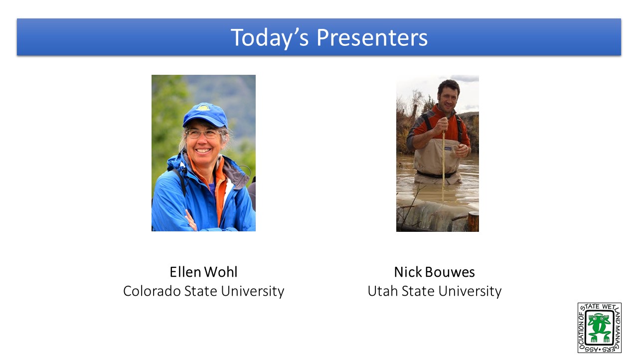
- Ellen Wohl, Colorado State University [PowerPoint Presentation]
- Nick Bouwes, Utah State University [PowerPoint Presentation]
ABSTRACT
This third training in the NAWM-BLM Beaver Restoration Training Series focuses on the long-term changes in riverscapes that result from beaver restoration. Where intense stream restoration is needed, people are identifying low-tech process-based methods that combine the management of grazing, beaver and other approaches that engage processes to create self-sustaining solutions. Understanding the dynamic nature of these systems is important to understanding where and how they can be useful. This training share case studies of work completed, focusing on the use of beaver to restore riverscapes.
LEARNING OBJECTIVES
As a result of participating in this training, participants will better understand the following common barriers to beaver/BDA work:
- Taking water from downstream
- Potential for Infrastructure Damage
- Minimum Habitat Requirements (currently no clear requirements)
- Beaver as a nuisance species (issues with lethal management); the fight for non-lethal management
- Beaver relocation BMPs
- Insights on how to share benefits info with ag producers
Part 1: Introduction: William Dooley, Association of State Wetland Managers
Presenter: Ellen Wohl, Colorado State University
 To Take the Quiz and Receive a Certificate of Completion for this Module
If you are a current NAWM Member, Log In here. If you are not an NAWM Member, there is a $25.00 USD fee per module quiz. To proceed with payment and access the module quiz, select the Module 1 Quiz button to transfer to the ClassMarker system. Upon successful completion of the module quiz, you will be eligible for a Certificate of Completion for 1.5 hours of training.
![]()
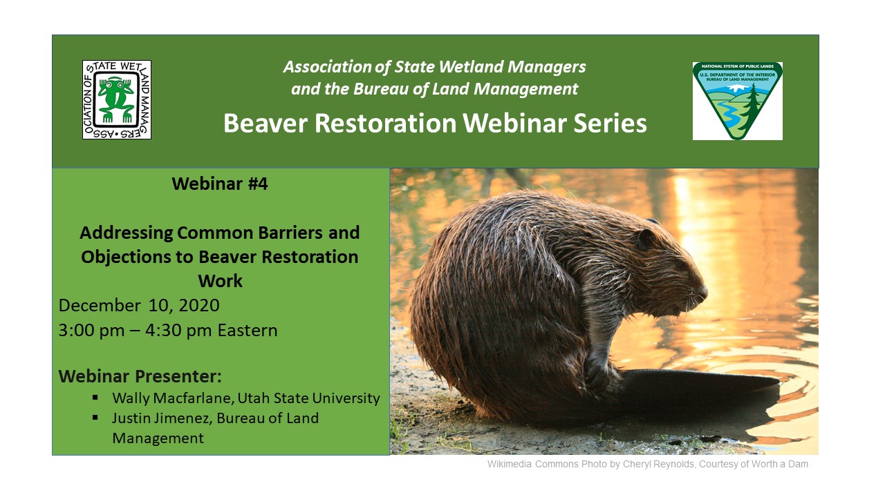
Module 4: Addressing Common Barriers and Objections to Beaver Restoration Work
PRESENTERS
- NAWM Introduction [PowerPoint Presentation]
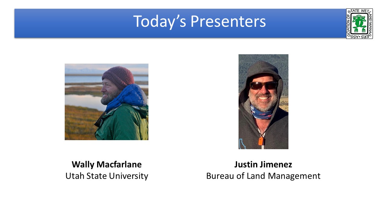
- Wally MacFarlane, Utah State University [PowerPoint Presentation]
- Justin Jimenez, Bureau of Land Management [PowerPoint Presentation]
ABSTRACT
This fourth module in the NAWM-BLM Beaver Restoration Training Series focuses on common barriers to beaver restoration and beaver dam analog (BDA) work and when/how these barriers can be overcome. Common local landowner concerns include the taking of water from downstream water users, the potential for infrastructure damage, and a general intolerance for dam building activities. Common barriers to project success include long delays associated with the NEPA process and inability to sustain strong, diverse and long-lasting project partners. This training provides case studies from Utah and Idaho and insights on best management practices for successful beaver restoration and BDA work.
LEARNING OBJECTIVES
As a result of participating in this training, participants will better understand common barriers to beaver/BDA work:
- Taking water from downstream
- Potential for Infrastructure Damage
- Minimum Habitat Requirements (currently no clear req’s)
- Beaver as a nuisance species (issues with lethal management); the fight for non-lethal management
- Beaver relocation BMPs
- Insights on how to share benefits info with ag producers
Part 1: Introduction: William Dooley, Association of State Wetland Managers
Presenter: Justin Jimenez, Bureau of Land Management
 To Take the Quiz and Receive a Certificate of Completion for this Module
If you are a current NAWM Member, Log In here. If you are not an NAWM Member, there is a $25.00 USD fee per module quiz. To proceed with payment and access the module quiz, select the Module 1 Quiz button to transfer to the ClassMarker system. Upon successful completion of the module quiz, you will be eligible for a Certificate of Completion for 1.5 hours of training.
![]()
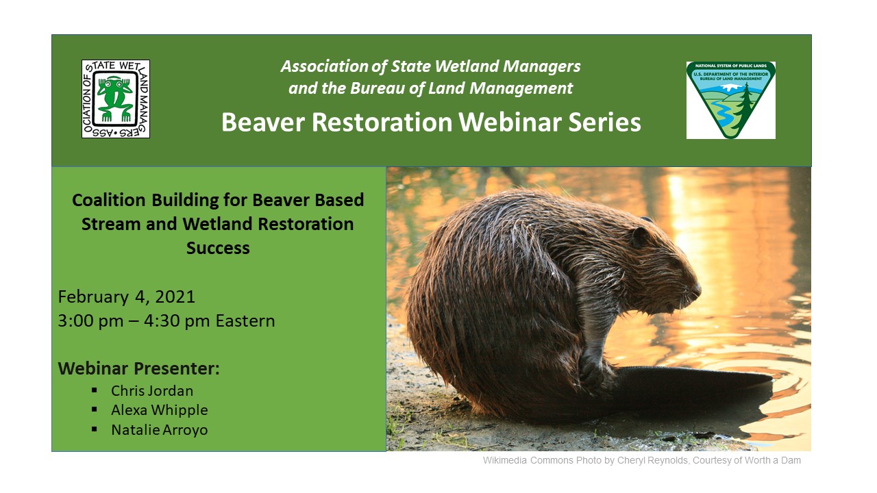
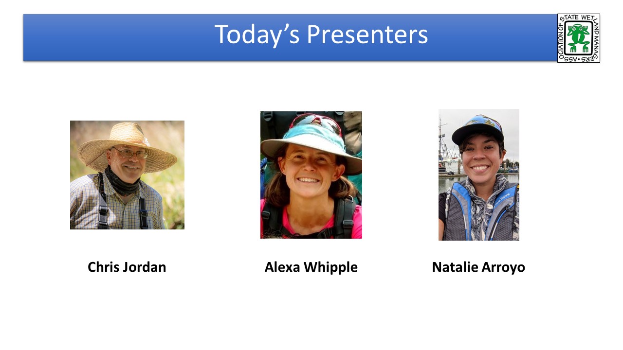
Module 5: Coalition Building for Beaver Based Stream and Wetland Restoration Success
PRESENTERS
- NAWM Introduction [PowerPoint Presentation]
- Chris Jordan, NOAA's Northwest Fisheries Science Center[PowerPoint Presentation]
- Alexa Whipple, Methow Beaver Project [PowerPoint Presentation]
- Natalie Arroyo [PowerPoint Presentation]
ABSTRACT
This fifth training in the NAWM-BLM Beaver Restoration Training Series focuses on how coalition building is essential to advancing the practice of process-based stream and floodplain restoration by helping the regulatory environment be responsive to the evolving understanding around functioning, intact riverscapes. Intentional and inclusive outreach efforts and creative partnerships are critical to achieving positive restoration outcomes. Restoring floodplains based on mimicking beaver dam inundated wetlands and their inherent complexity is a paradigm shift for the stream and wetland restoration community. Practitioners are eager to engage and the science community has jumped in. However, the regulatory community has not seen the same degree of development. Only through inclusive coalitions building will it be possible to develop commonly held values around functioning, process-based, vibrant ecosystems that support the natural and human ecologies essential for resilient ecosystems.
LEARNING OBJECTIVES
As a result of participating in this training, participants will better understand:
- The need to minimize conflict over the management of beavers
- Considerations for getting through the policy gauntlet
- Permitting and water rights considerations for beaver mimicry projects in various states
- Ideas around overcoming institutional ruts
- The need to develop effective partnerships
- Potential opportunities to work with tribes
Part 1: Introduction: William Dooley, Association of State Wetland Managers
Presenter: Chris Jordan, NOAA's Northwest Fisheries Science Center
 To Take the Quiz and Receive a Certificate of Completion for this Module
If you are a current NAWM Member, Log In here. If you are not an NAWM Member, there is a $25.00 USD fee per module quiz. To proceed with payment and access the module quiz, select the Module 1 Quiz button to transfer to the ClassMarker system. Upon successful completion of the module quiz, you will be eligible for a Certificate of Completion for 1.5 hours of training.
![]()
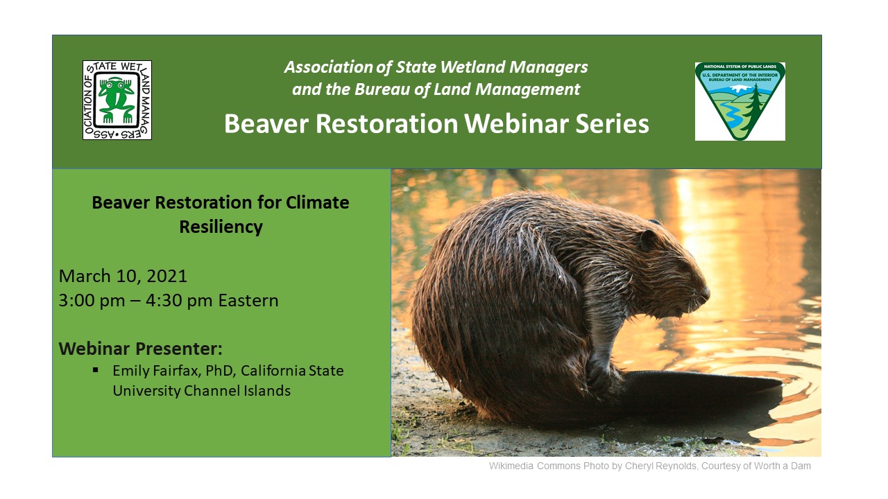
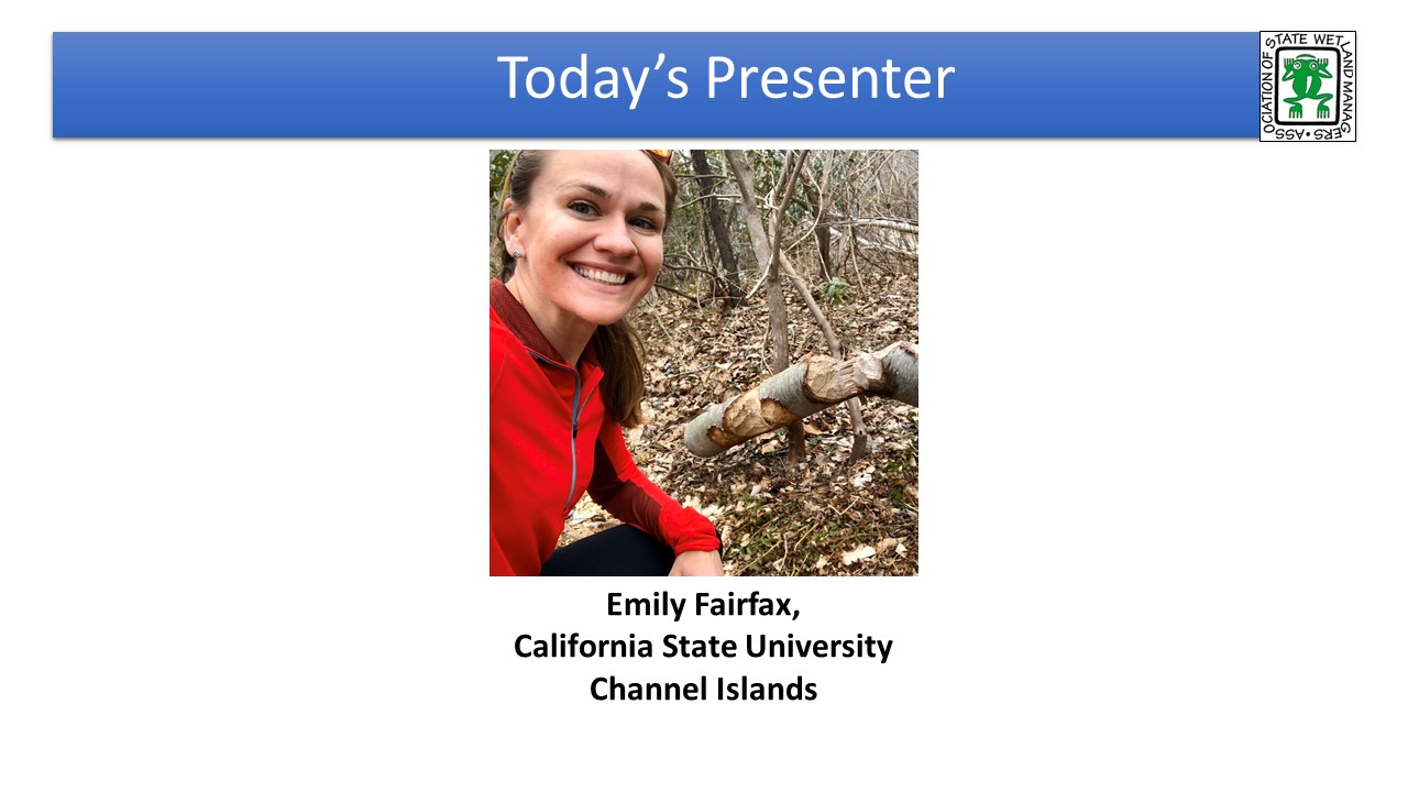
Module 6: Beaver Restoration for Climate Resiliency
PRESENTER
- NAWM Introduction [PowerPoint Presentation]
- Emily Fairfax, California State University Channel Islands [PowerPoint Presentation]
ABSTRACT
The sixth training in the NAWM-BLM Beaver Restoration Training Series focuses on the role that beaver restoration can play in building climate resiliency to drought and wildfires. Beaver dams are gaining popularity as a low‐tech, low‐cost strategy to build climate resiliency at the landscape scale. They slow and store water that can be accessed by riparian vegetation during dry periods, effectively protecting riparian ecosystems from droughts. The training shares research indicating that beavers are able to create and maintain wetlands resistant to both seasonal and multiyear droughts and that this landscape wetting and drought buffering goes on to reduce or prevent burning in wildfire. The training explores the concept that perhaps instead of relying solely on human engineering and management to create and maintain fire‐resistant landscape patches, communities could benefit from beaver’s ecosystem engineering to achieve the same goals at a lower cost.
LEARNING OBJECTIVES
As a result of participating in this training participants will better understand how the presence of beavers:
- Are an integral part of natural climate adaptation and mitigation
- Can be located for consideration in climate resilience planning using easy-to-access tools
- Are crucial components of keeping landscapes healthy during floods, droughts and wildfires
- Have been found to increase resilience despite varying climates, landcover and antecedent conditions
Part 1: Introduction: William Dooley, Association of State Wetland Managers;
Presenter: Emily Fairfax, California State University Channel Islands

 To Take the Quiz and Receive a Certificate of Completion for this Module
If you are a current NAWM Member, Log In here. If you are not an NAWM Member, there is a $25.00 USD fee per module quiz. To proceed with payment and access the module quiz, select the Module 1 Quiz button to transfer to the ClassMarker system. Upon successful completion of the module quiz, you will be eligible for a Certificate of Completion for 1.5 hours of training.
You will need to develop username and password in ClassMarker for each online quiz. Once you click on the quiz link, you will be prompted again to provide your name and email address. This will be used to process your certificate.
Participants who both view the module presentation and complete the module quiz are eligible for an NAWM Certificate of Completion for 1.5 hours of training.
To receive your certificate, you must BOTH:
- Certify that you completed viewing the Beaver-Related Restoration training module video presentation. Answering “no” will result in no certificate being issued.
- Complete all knowledge quiz questions with the required minimum of eighty percent (80%) of the questions answered correctly. You will be provided two attempts to take the quiz for the module. If at the end of your second attempt you have not been able to achieve a minimum score of eighty percent, you will not be eligible to receive a certificate.
You will be prompted to download your Certificate of Completion from ClassMarker after you complete the quiz. Once you download your certificate, you can then submit the certificate to the accrediting organization of your choice to potentially receive continuing education units/credits.
If you did not answer at least 80% of the quiz questions correct on your first attempt, you can re-take the test one more time (total of two attempts). Return to the NAWM module page and START the test again (vs Resume).
You must use the same email, username and password for the second quiz attempt for this same module. ClassMarker will recognize your email for the specific training module and will not charge you for the second attempt. If you do not achieve at least 80% of the quiz questions correct on your second attempt, you will not be eligible to receive a Certificate of Completion.
We encourage you to go to the NAWM.org website and become a member so that you can receive Certificates of Completion (trainings) and Certificates of Participation (live webinars) at no charge for the next 12 months.
If you have any questions, please contact Laura Burchill at laura@nawm.org or contact the NAWM office at (207) 892-3399.
![]()
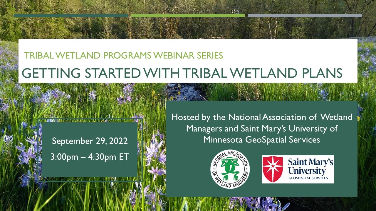
 The National Association of Wetland Managers (NAWM) and Saint Mary’s University of Minnesota GeoSpatial Services (SMUM) developed a series of webinars focused on increasing the capacity of Tribal Communities to protect, restore, and mitigate impacts to tribal wetlands. The webinar series was developed with guidance from an advisory workgroup composed primarily of Tribal wetland managers. The webinars, which were held in 2022 and 2023, cover the basics of starting and building a tribal wetland program and feature presentations from EPA staff and tribal representatives from across the country.
The target audience for this online training series is tribal wetland and aquatic resources staff, including field staff and managers who are interested in forming or developing a wetland program, as well as other wetland and aquatic resource professionals who work with tribal communities.
Additional resources that may be of interest are available on the Tribal Wetland Programs webpage.
List of Modules in the Training Series (8 modules)
Module 01: Getting Started with Tribal Wetland Plans
Module 02: A Path to Successful EPA Grant Applications for Your Tribal Wetland Program
Module 04: Developing Your Tribal Wetland Program
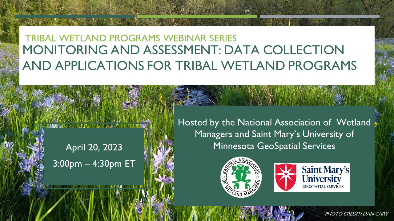
Module 05: Monitoring and Assessment: Data Collection and Applications for Tribal Wetland Programs
Module 06: Geospatial Mapping Tools and Techniques for Tribal Wetland Programs
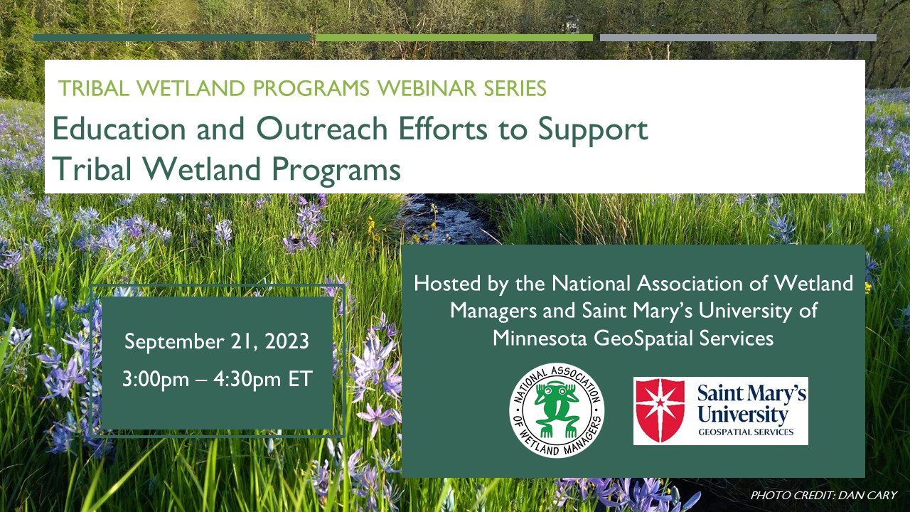
Module 07: Education and Outreach Efforts to Support Tribal Wetland Programs
Module 08: Preparing Quality Assurance Project Plans for Your Tribal Wetland Program
Optional Module Quiz and Certificate of Completion for Use in Applying for Continuing Education Credits (CEUs)
Each online module in the Tribal Wetland Programs Training Series is accompanied by an optional knowledge assessment quiz available through ClassMarker. The quiz assesses understanding of the key take-away points of the training.
Please Note, Scheduled Maintenance: ClassMarker will be doing scheduled maintenance on Saturday, December 20 at 6:00 p.m. ET for 5 to 6 hours. During this time, you will not be able to get certificates for webinars or online trainings.
To receive a Certificate of Completion for the selected online module, participants must certify that they viewed the online training and complete the quiz with a minimum score of eighty percent (80%) for the knowledge-based questions. Participants scoring less than eighty percent of the knowledge-based questions correctly will be provided one additional opportunity to pass the quiz (total of two attempts).
ClassMarker information information
![]()
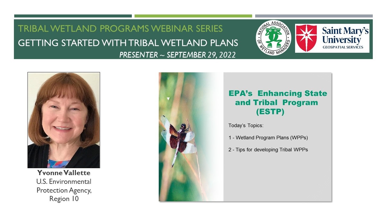
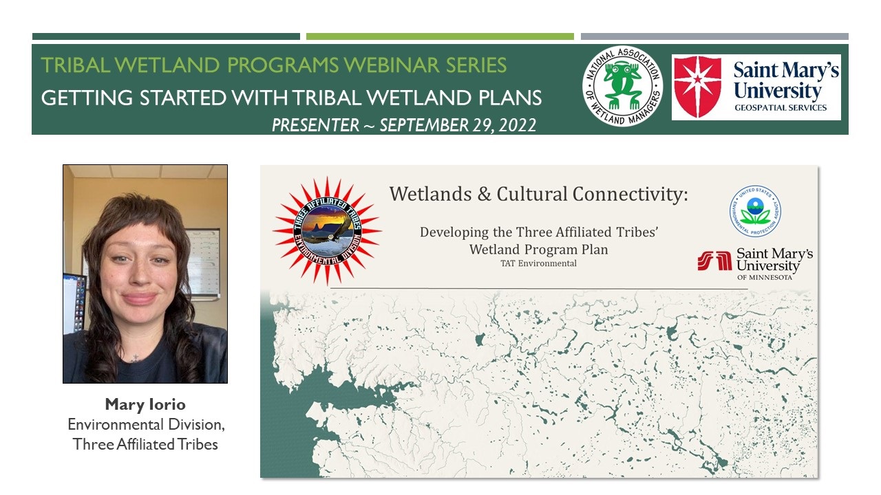
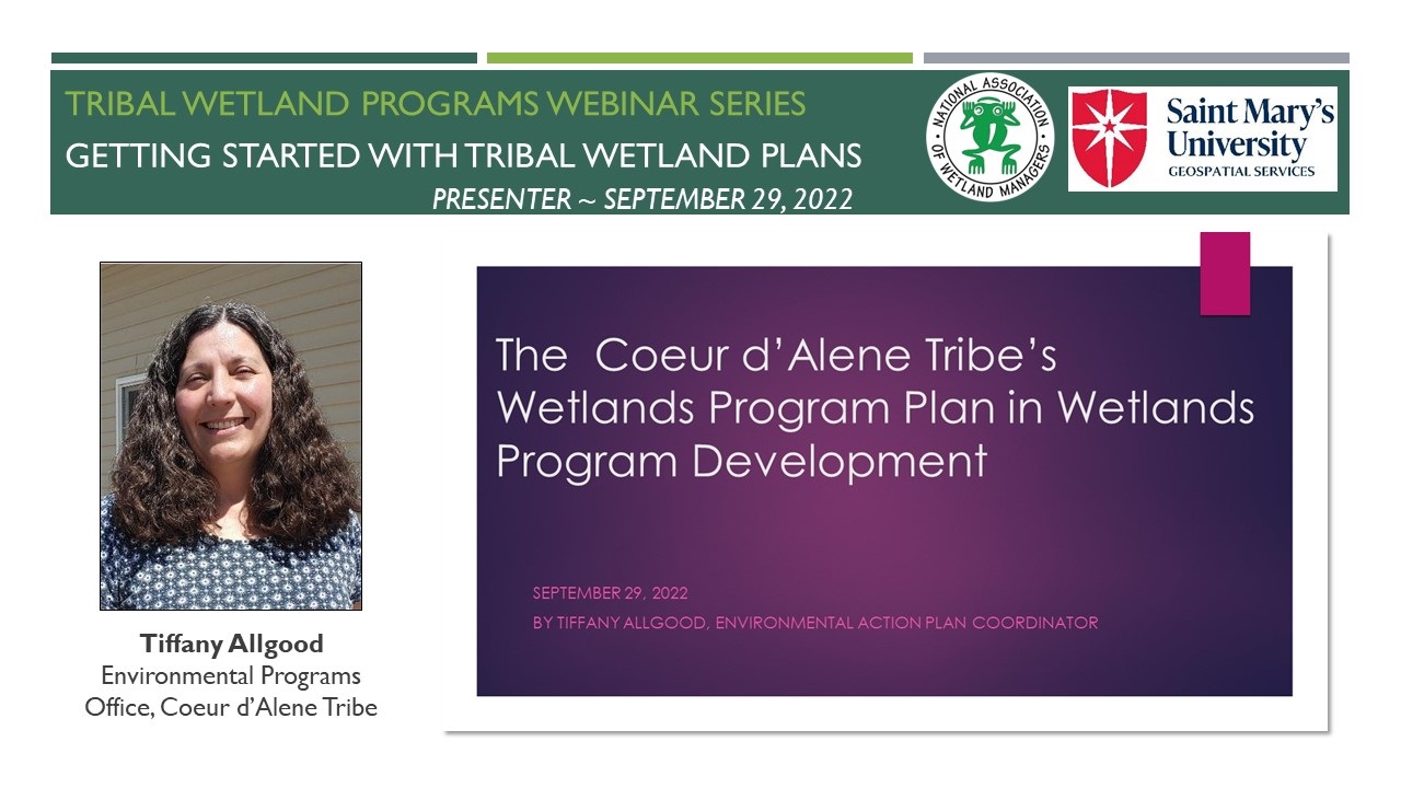
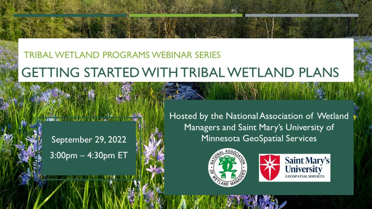
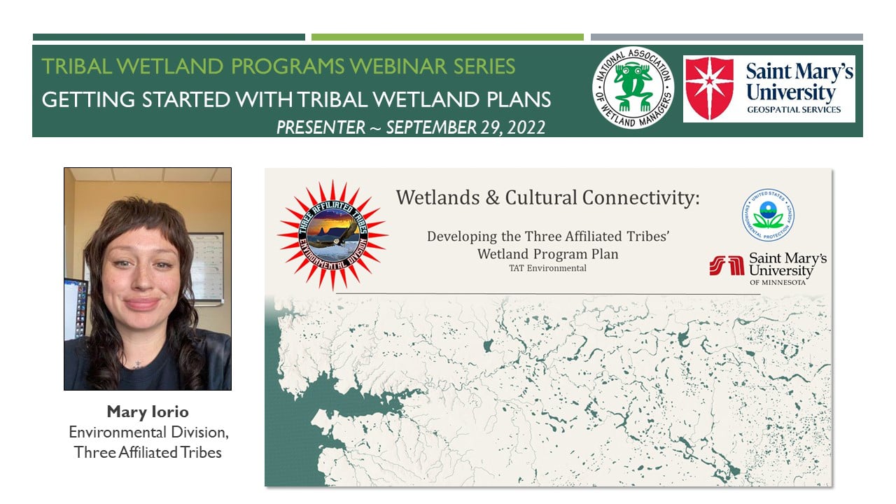
Module 1: Getting Started with Tribal Wetland Plans
PRESENTERS
- NAWM/SMUMN Introduction [Presentation PDF]
- Yvonne Vallette, U.S. Environmental Protection Agency, Region 10 [Presentation PDF]
- Mary Iorio, Environmental Division, Three Affiliated Tribes [Presentation PDF]
- Tiffany Allgood, Environmental Programs Office, Coeur d’Alene Tribe [Presentation PDF]
OVERVIEW
This webinar was the first in a new series focused on working with Tribal Communities to build and develop wetland programs. The webinar included an overview of Wetland Program Plans (WPPs) and the EPA’s Core Elements Framework. Then representatives from the Three Affiliated Tribes and the Coeur d’Alene Tribe each shared their experiences in developing WPPs and establishing wetland programs. The presentations included discussion of efforts to foster a cultural reconnection to wetlands, lessons learned in wetland program development, and future program goals and directions.
LEARNING OBJECTIVES
As a result of participating in this training, participants will better understand:
- EPA’s Core Elements Framework
- Why it is beneficial to have a Wetlands Program Plan (WPP)
- The process of developing a WPP
- The connection between WPPs and Wetland Program Development Grants (WPDGs)
- Types of activities that Tribes might include in their WPPs
Part 1: Introduction: Portia Osborne, Project Manager, National Association of Wetland Managers
![]()
![]()
![]()
![]()
![]()
To Take the Quiz and Receive a Certificate of Completion for this Module
To access the module quiz, select the Module 1 Quiz button to transfer to the ClassMarker system. Upon successful completion of the module quiz, you will be eligible for a Certificate of Completion for 1.5 hours of training.
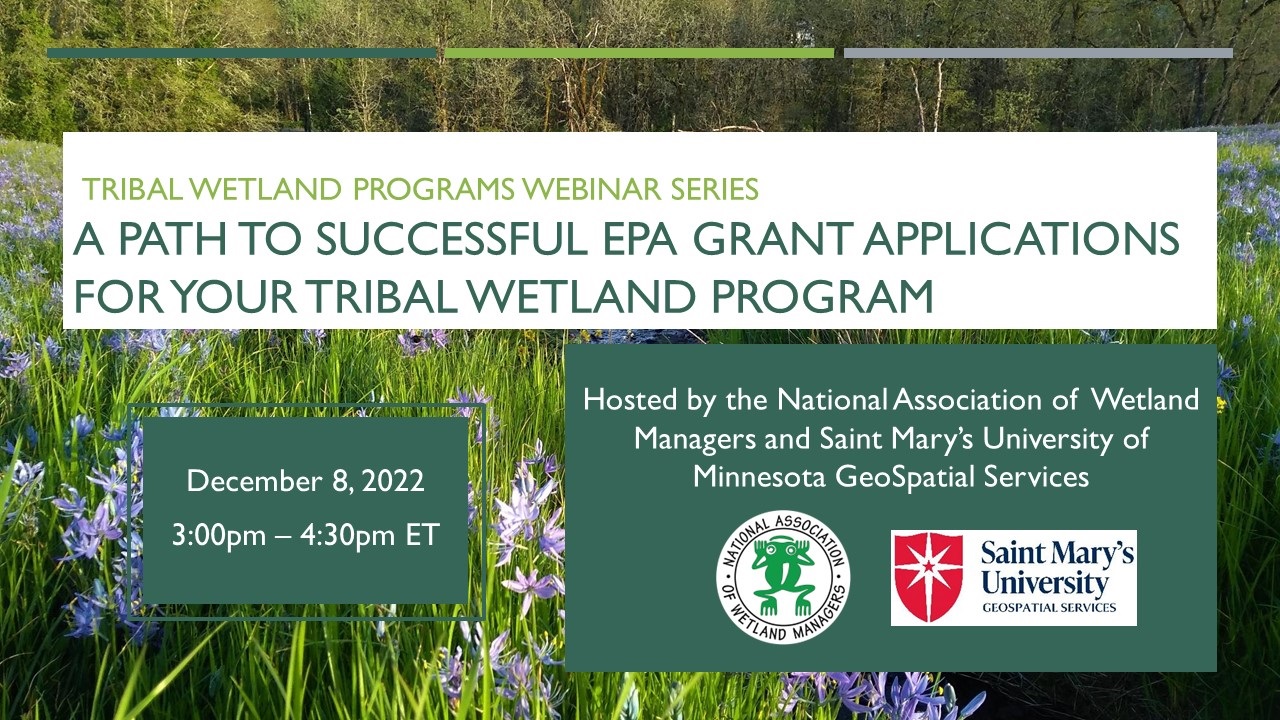
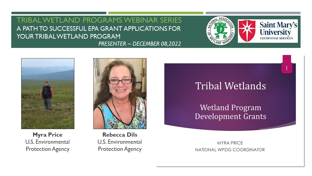
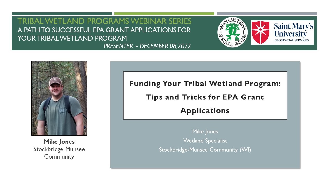
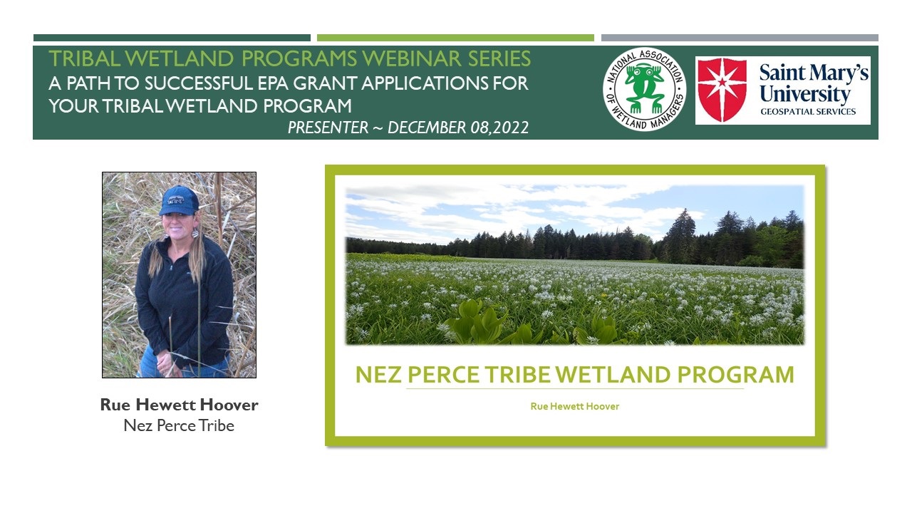
Module 2: A Path to Successful EPA Grant Applications for Your Tribal Wetland Program
PRESENTERS
- NAWM/SMUMN Introduction [Presentation PDF]
- Myra Price, U.S. Environmental Protection Agency
- Rebecca Dils, U.S. Environmental Protection Agency [Presentation PDF]
- Mike Jones, Stockbridge-Munsee Community [Presentation PDF]
- Rue Hewett Hoover, Nez Perce Tribe [Presentation PDF]
OVERVIEW
For many tribes, EPA funding is critical to starting and sustaining a wetland program. However, EPA grant applications can be daunting, especially for first-time applicants. This webinar helped guide Tribal wetland staff through the application process so they have a better idea of what to expect. It covered strategies, tips, and lessons learned to help strengthen grant proposals and increase the odds of successfully obtaining funding. This included advice on pre-planning, evaluating grant options, deciphering the request for proposals (RFP), the importance of Wetland Program Plans (WPPs) and partnerships, and project budgeting.
LEARNING OBJECTIVES
As a result of participating in this training, participants will better understand:
- The process of applying for EPA Wetland Program Development Grants (WPDGs)
- The connection between Wetland Program Plans (WPPs) and WPDGs
- The type of information that is required for a WPDG application
- How to write a strong project proposal
- Common mistakes in grant applications and how to avoid them
Part 1: Introduction: Portia Osborne, Project Manager, National Association of Wetland Managers
 To Take the Quiz and Receive a Certificate of Completion for this Module
To access the module quiz, select the Module 2 Quiz button to transfer to the ClassMarker system. Upon successful completion of the module quiz, you will be eligible for a Certificate of Completion for 1.5 hours of training.
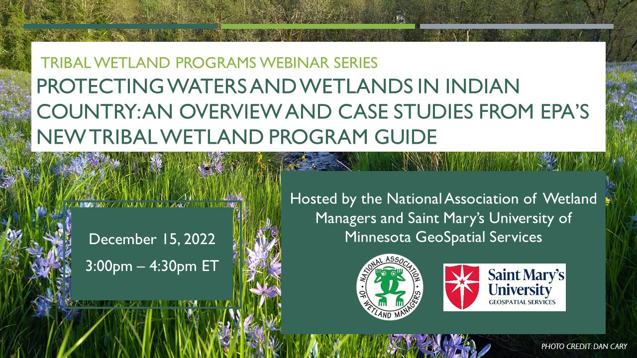
Module 3: Protecting Waters and Wetlands in Indian Country: An Overview and Case Studies from EPA’s New Tribal Wetland Program Guide
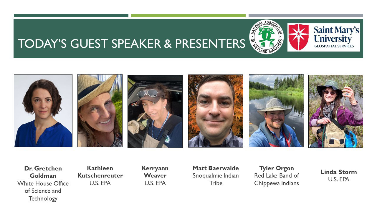
PRESENTERS
- NAWM/SMUMN Introduction [Presentation PDF]
- Gretchen Goldman, Assistant Director for Environmental Science, Engineering, Policy, and Justice, White House Office of Science and Technology Policy
- Kerryann Weaver, U.S. Environmental Protection Agency, Region 5 [Presentation PDF]
- Matt Baerwalde, Snoqualmie Indian Tribe
- Tyler Orgon, Red Lake Band of Chippewa Indians
- Linda Storm, U.S. Environmental Protection Agency, Region 10
- Kathleen Kutschenreuter, U.S. Environmental Protection Agency
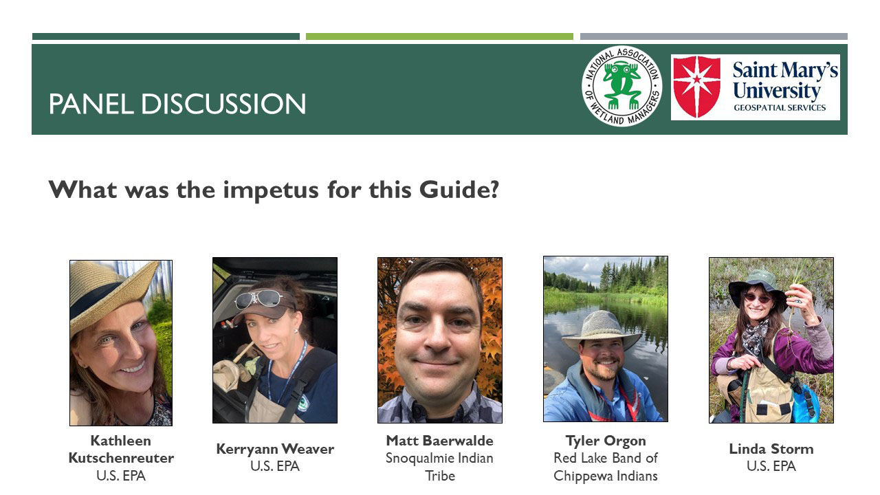
OVERVIEW
This webinar provided an overview of Protecting Waters and Wetlands in Indian Country: A Guide for Developing Tribal Wetland Management Programs, a new guide designed to aid Tribes in strategic wetland resource planning and management, including guidance that is more relevant to the unique Tribal situations and more accessible for the Tribal reader. The guide augments the existing National Association of Wetland Managers 2013 Wetland Program Plans Handbook, which provides a sound foundation on the core program elements. The guide was produced in collaboration with Tribes from across the country and in response to a direct request from the Tribes, in order to help them protect wetlands and aquatic resources. The webinar included an overview of the guide followed by a panel discussion on the process of preparing the guide, information found in the guide, and examples of how it may be used by Tribal communities.
LEARNING OBJECTIVES
As a result of participating in this training, participants will better understand:
- The contents and intended audience of the new guide, Protecting Waters and Wetlands in Indian Country: A Guide for Developing Tribal Wetland Management Programs
- Background information on the need for the guide and guide development process
- How to utilize the guide and where to go for more information about managing, protecting, and restoring waters and wetlands in Indian Country
Part 1: Introduction: Portia Osborne, Project Manager, National Association of Wetland Managers and Gretchen Goldman, Assistant Director for Environmental Science, Engineering, Policy, and Justice, White House Office of Science and Technology Policy
![]()
![]()
![]()
![]()
![]()
To Take the Quiz and Receive a Certificate of Completion for this Module
To access the module quiz, select the Module 3 Quiz button to transfer to the ClassMarker system. Upon successful completion of the module quiz, you will be eligible for a Certificate of Completion for 1.5 hours of training.
![]()
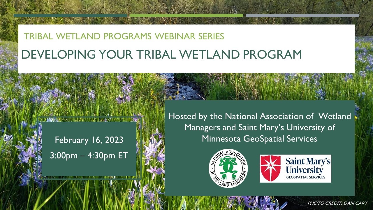
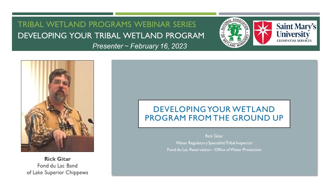
Module 4: Developing Your Tribal Wetland Program
PRESENTERS
- NAWM/SMUMN Introduction [Presentation PDF]
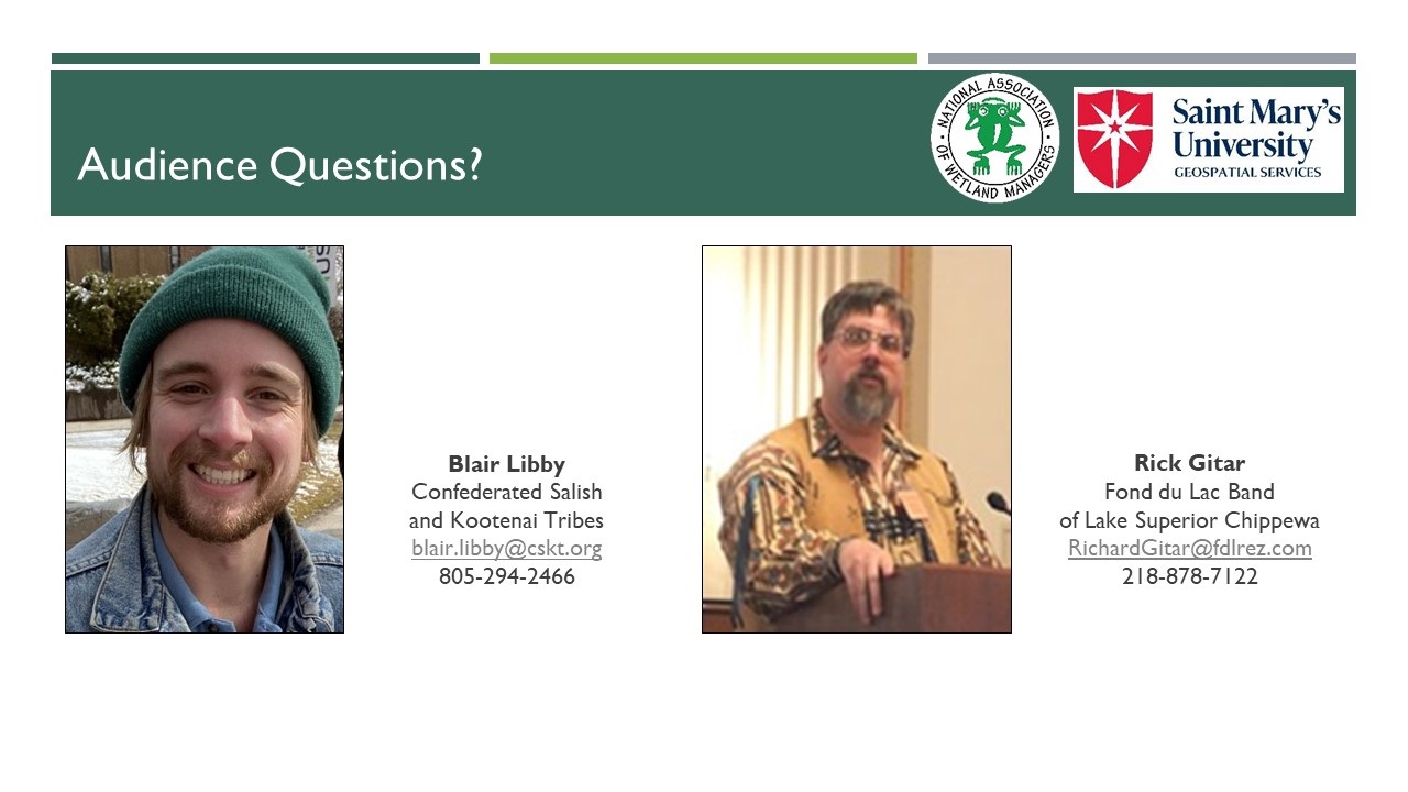
- Rick Gitar, Fond du Lac Reservation - Office of Water Protection [Presentation PDF]
- Blair Libby, Confederated Salish and Kootenai Tribes [Presentation PDF]
OVERVIEW
This webinar offered two examples of tribal wetland programs and how they have developed over time:
- For nearly three decades, the Confederated Salish and Kootenai Tribes’ [CSKT] wetland conservation program has utilized a combination of wetland-focused Tribal Ordinances, innovative partnerships with outside agencies and non-profits, and EPA Wetland Program Development Grants to monitor, preserve, and restore wetlands on the Flathead Reservation. Today, CSKT’s wetlands are threatened by a rapid increase in local development and the effects of climate change. By analyzing years of functional assessment data and aerial imagery to better understand the trends of each watershed, CSKT now seeks to update their Wetland Conservation Plan for the next decade. This presentation explained the tools used by CSKT and history of the program, with a particular focus on developing their new Wetland Conservation Plan.
- The Fond du Lac Reservation began developing its Wetland Program in late 1998, even before the EPA had developed the Core Elements for Wetland Programs. Since then, Fond du Lac has achieved the goal of developing each of the core elements, most recently with the 2020 approval of its Wetland Water Quality Standards. This presentation covered some key elements to consider in building a Wetland Program from the ground up, including the “four knows” of this development.
LEARNING OBJECTIVES
As a result of participating in this training, participants will better understand:
- The histories of the CSKT and Fond du Lac wetland programs and how to apply these examples to their own programs.
- What questions to ask and what resources to utilize when determining how to build their own wetland program.
- Examples of wetland program activities that can be undertaken at different stages of program development.
Part 1: Introduction: Kathy Allen, Saint Mary's University of MN - GeoSpatial Services
Presenter: Marla Stelk, Executive Director, National Association of Wetland Managers

 To Take the Quiz and Receive a Certificate of Completion for this Module
To access the module quiz, select the Module 4 Quiz button to transfer to the ClassMarker system. Upon successful completion of the module quiz, you will be eligible for a Certificate of Completion for 1.5 hours of training.
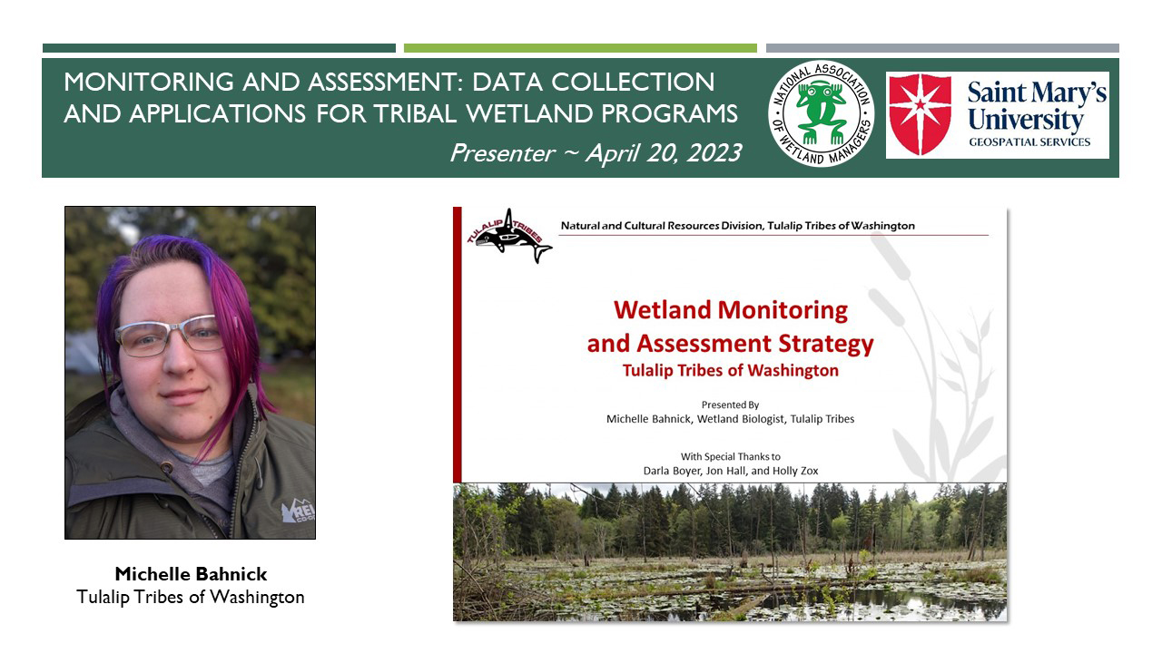
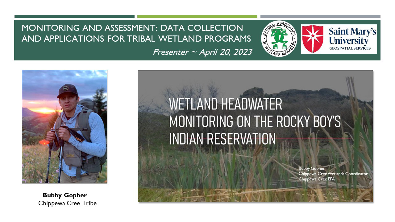
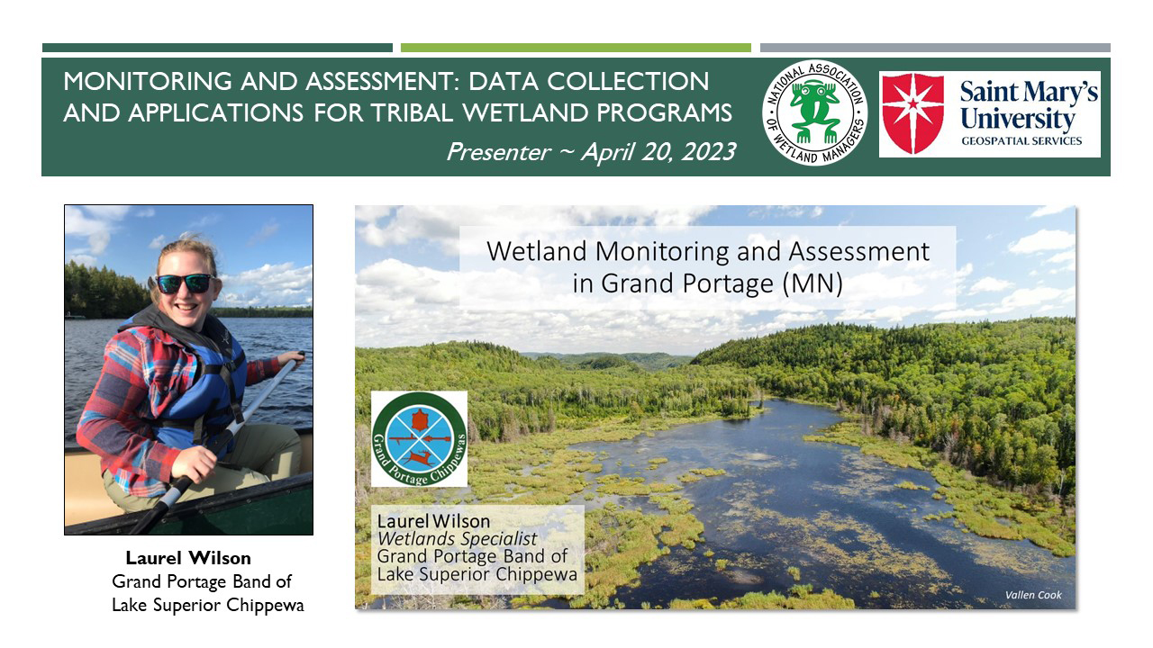
Module 5: Monitoring and Assessment: Data Collection and Applications for Tribal Wetland Programs
PRESENTERS
- NAWM/SMUMN Introduction [Presentation PDF]
- Kerryann Weaver, Wetlands Section Supervisor, U.S. Environmental Protection agency, Region 5 [Presentation PDF]
- Michelle Bahnick, Wetland Biologist, Tulalip Tribes of Washington Natural and Cultural Resources Division [Presentation PDF]
- Bubby Gopher, Wetland Coordinator, Chippewa Cree Tribe [Presentation PDF]
- Laurel Wilson, Wetlands Specialist, Grand Portage Band of Lake Superior Chippewa [Presentation PDF]
OVERVIEW
Monitoring and assessment is one possible component of a Wetland Program Plan as described in the U.S. Environmental Protection Agency’s Core Elements Framework. Having a monitoring and assessment program is a critical tool for Tribes and states in managing and protecting their wetland resources. Monitoring and assessment can help document a baseline for wetlands extent, condition, and function and to detect changes over time in order to make appropriate resource management decisions. In this webinar, we heard from Tribal representatives about their ongoing wetland monitoring and assessment programs, including priorities, design, and implementation.
LEARNING OBJECTIVES
As a result of participating in this training, participants will better understand:
- What a tribal monitoring and assessment program can include and how it can aid in achieving overall wetland program goals
- The three levels of assessment as recommended by EPA and examples of monitoring activities at each level
- How to develop a monitoring and assessment program and potential applications of the resulting data
- Ways to incorporate traditional ecological knowledge into a monitoring and assessment program
Part 1: Introduction: Kathy Allen, Natural Resource Analyst, SMUMN - GeoSpatial Services; and Portia Osborne, Project Manager, NAWM
![]()
Presenter: Kerryann Weaver, Wetlands Section Supervisor, U.S. EPA, Region 5![]()
![]()
![]()
![]()
To Take the Quiz and Receive a Certificate of Completion for this Module
To access the module quiz, select the Module 5 Quiz button to transfer to the ClassMarker system. Upon successful completion of the module quiz, you will be eligible for a Certificate of Completion for 1.5 hours of training.
![]()
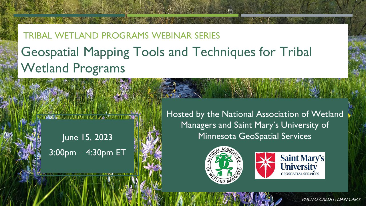
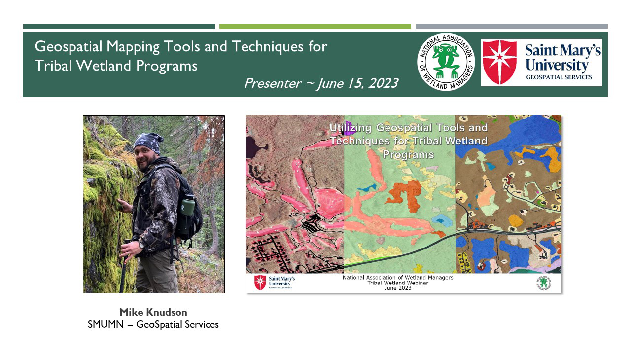
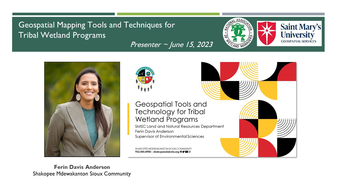
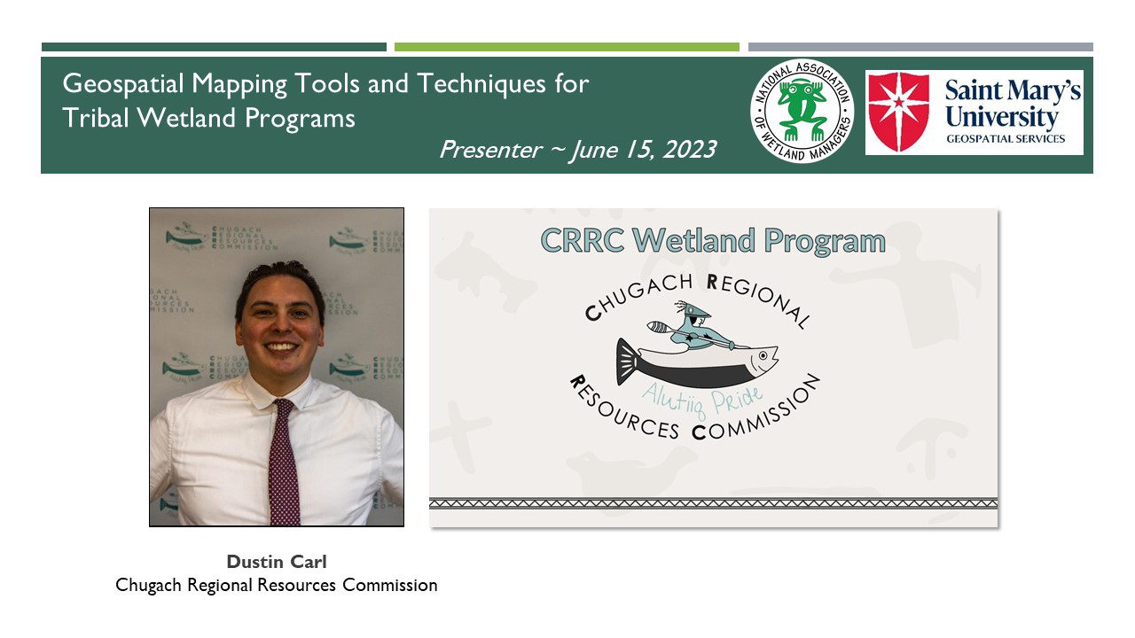
Module 6: Geospatial Mapping Tools and Techniques for Tribal Wetland Programs
PRESENTERS
- NAWM/SMUMN Introduction [Presentation PDF]
- Mike Knudson, GIS Analyst, Saint Mary's University of Minnesota - GeoSpatial Services [Presentation PDF]
- Ferin Davis Anderson, Supervisor of Environmental Sciences, Shakopee Mdewakanton Sioux Community [Presentation PDF]
- Dustin Carl, Fish and Wildlife Biologist, Chugach Regional Resources Commission [Presentation PDF]
OVERVIEW
As GIS technology advances, geospatial tools have become more useful and accessible for wetland managers. These tools and techniques can be particularly valuable for monitoring and assessment applications, including data collection, analysis, modelling, and visualization for education and outreach. The results of these efforts may be utilized for other EPA core elements, such as prioritizing wetlands for voluntary protection, planning restorations, and tracking regulatory enforcement activities. In this webinar, GIS practitioners and tribal staff shared how they have used geospatial tools and techniques to advance tribal wetland programs.
LEARNING OBJECTIVES
As a result of participating in this training, participants will better understand:
- Ways to incorporate geospatial tools and techniques into their wetland programs
- How geospatial tools can be used to conduct wetland functional assessments
- How geospatial tools can be used to improve wetland management and meet program goals
Part 1: Introduction: Portia Osborne, Project Manager, National Association of Wetland Managers
![]()
Moderator: Kathy Allen, Natural Resource Analyst, Saint Mary's University of MN - GeoSpatial Services ![]()
![]()
![]()
![]()
To Take the Quiz and Receive a Certificate of Completion for this Module

To access the module quiz, select the Module 6 Quiz button to transfer to the ClassMarker system. Upon successful completion of the module quiz, you will be eligible for a Certificate of Completion for 1.5 hours of training.
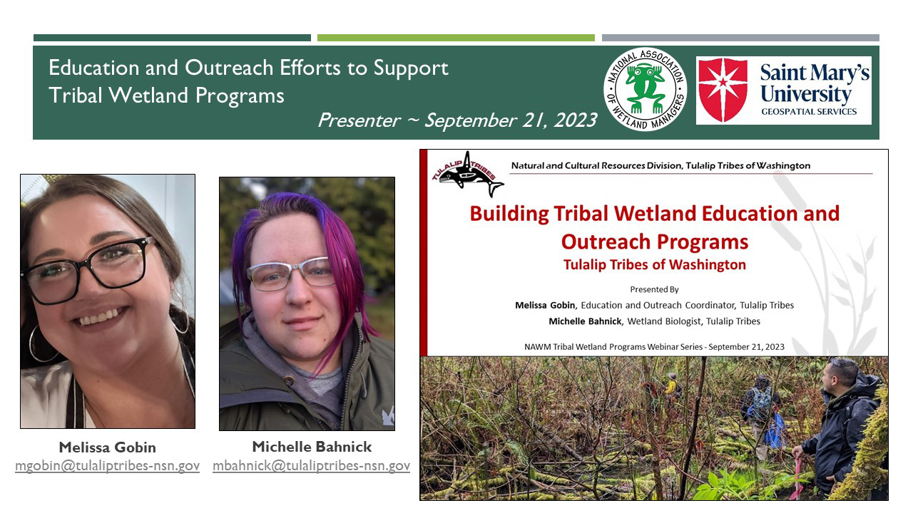
PRESENTERS
- NAWM/SMUMN Introduction [Presentation PDF]
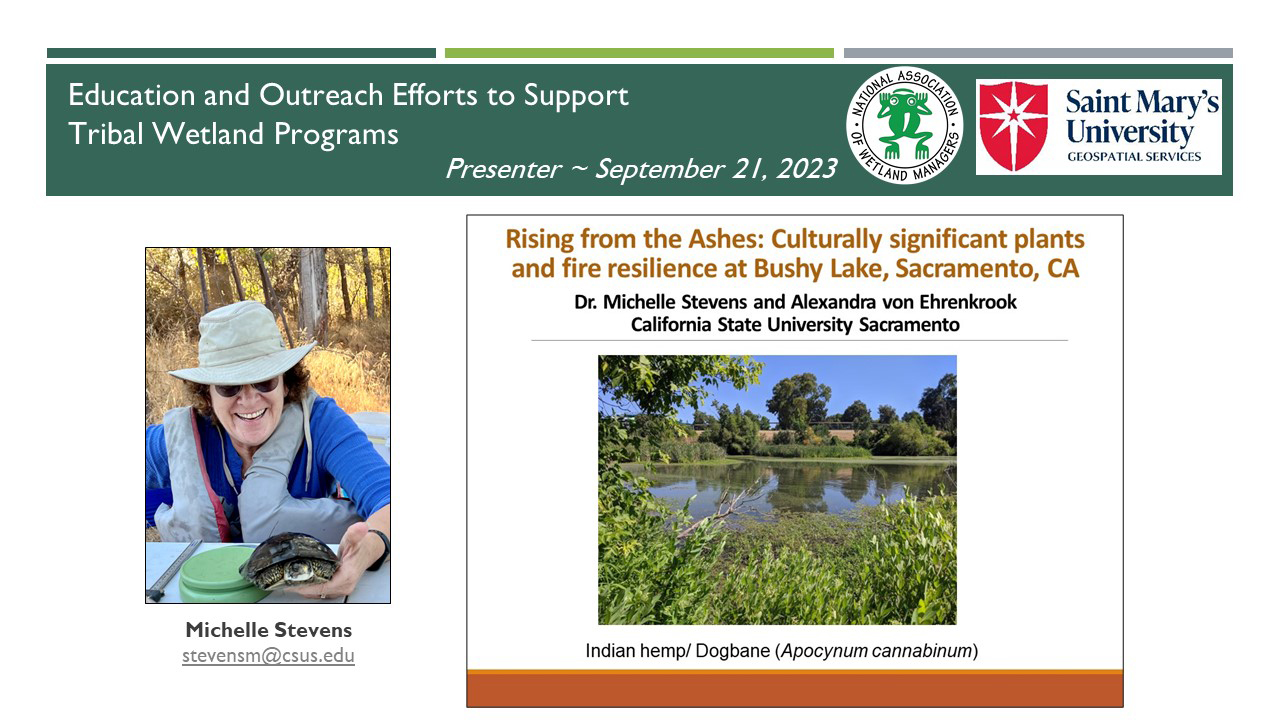
- Michelle Stevens, Emeritus Professor, California State University Sacramento [Presentation PDF]
- Melissa Gobin, Education Outreach Coordinator, Tulalip Tribes of Washington Natural and Cultural Resources Division [Joint Presentation PDF]
- Michelle Bahnick, Wetland Biologist, Tulalip Tribes of Washington Natural and Cultural Resources Division
OVERVIEW
Education and outreach activities can be useful tools in conveying the importance of wetlands to the broader community, engaging youth, and building support for wetland protections and wetland programs. These activities can also be opportunities to incorporate cultural knowledge and values into wetland projects or programs. In this webinar, they learned about education and outreach efforts as a part of the Bushy Lake Eco-Cultural Project in Sacramento, CA nad within the work conducted by the Tulalip Tribes of Washington Natural and Cultural Resources Division.
LEARNING OBJECTIVES
As a result of participating in this training, participants will better understand:
- Ways to connect outreach efforts to their wetland projects and programs
- How to incorporate both western scientific knowledge and traditional ecological knowledge into educational activities
- How to develop an education or outreach program, including looking to the community for direction and factors to consider during program development
Part 1: Introduction: Portia Osborne, Project Manager, National Association of Wetland Managers

To Take the Quiz and Receive a Certificate of Completion for this Module
To access the module quiz, select the Module 7 Quiz button to transfer to the ClassMarker system. Upon successful completion of the module quiz, you will be eligible for a Certificate of Completion for 1.5 hours of training.
To access the module quiz, select the Module 7 Quiz button to transfer to the ClassMarker system. Upon successful completion of the module quiz, you will be eligible for a Certificate of Completion for 1.5 hours of training.
![]()
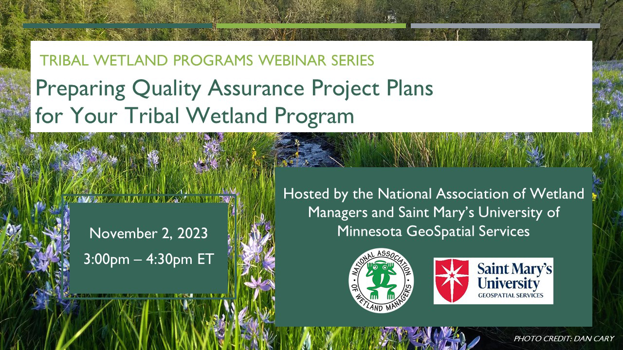
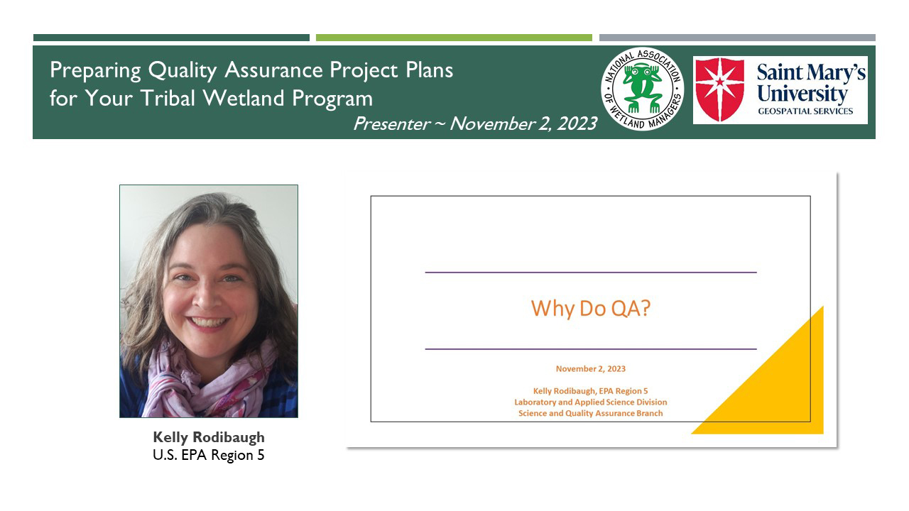
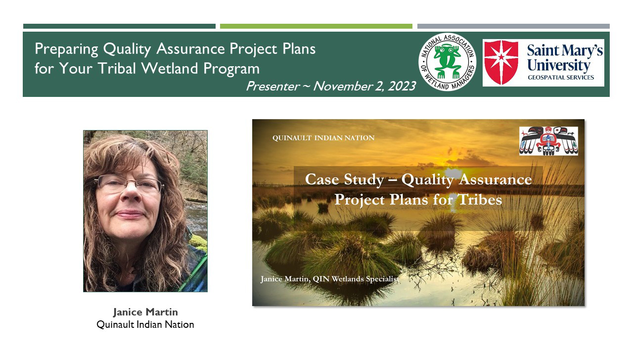
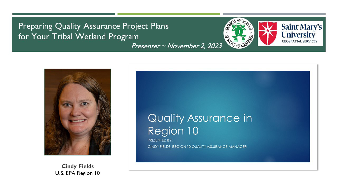
Module 8: Preparing Quality Assurance Project Plans for Your Tribal Wetland Program
PRESENTERS
- NAWM/SMUMN Introduction [Presentation PDF]
- Kelly Rodibaugh, U.S. Environmental Protection Agency, Region 5 [Presentation PDF]
- Janice Martin, Quinault Indian Nation Division of Natural Resources [Presentation PDF]
- Cindy Fields, U.S. Environmental Protection Agency, Region 10 [Presentation PDF]
OVERVIEW
Many of the activities undertaken by tribal wetland programs require the preparation and approval of a Quality Assurance Project Plan (QAPP). A QAPP is a project-specific plan that lays out the type and quality of environmental data to be collected, including the quality assurance and quality control measures that will be used to ensure data quality. EPA must approve of a QAPP before the project can begin. This webinar provided a general introduction to QAPP requirements and EPA’s review and approval process for these documents. In addition, an example of recent experience developing a project-specific QAPP for a tribal wetland program was shared. Throughout the webinar, presenters shared recommendations for QAPP preparation and insights specific to tribal wetland programs.
LEARNING OBJECTIVES
As a result of participating in this training, participants will better understand:
- What is meant by “Environmental Information” and what a Quality Assurance Project Plan (QAPP) is.
- How EPA’s Quality Program ensures that the required quality documentation fits the project needs and intended use of the environmental information.
- The basic elements that are required in a QAPP.
- How to approach preparing a QAPP and who to reach out to for assistance.
- EPA’s process for QAPP review and approval.
Part 1: Introduction: Portia Osborne, Project Manager, National Association of Wetland Managers
![]()
![]()
![]()
![]()
![]()
To Take the Quiz and Receive a Certificate of Completion for this Module
To access the module quiz, select the Module 8 Quiz button to transfer to the ClassMarker system. Upon successful completion of the module quiz, you will be eligible for a Certificate of Completion for 1.5 hours of training.

![]()
You will need to develop username and password in ClassMarker for each online quiz. Once you click on the quiz link, you will be prompted again to provide your name and email address. This will be used to process your certificate.
Participants who both view the module presentation and successfully complete the module quiz are eligible for an NAWM Certificate of Completion for 1.5 hours of training.
To receive your certificate, you must BOTH:
- Certify that you completed viewing the Tribal Wetland Programs training module video presentation. Answering “no” will result in no certificate being issued.
- Complete all knowledge quiz questions with the required minimum of eighty percent (80%) of the questions answered correctly. You will be provided two attempts to take the quiz for the module. If at the end of your second attempt you have not been able to achieve a minimum score of eighty percent, you will not be eligible to receive a certificate.
You will be prompted to download your Certificate of Completion from ClassMarker after you complete the quiz. Once you download your certificate, you can then submit the certificate to the accrediting organization of your choice to potentially receive continuing education units/credits.
If you did not answer at least 80% of the quiz questions correct on your first attempt, you can re-take the test one more time (total of two attempts). Return to the NAWM module page and START the test again (vs Resume).
You must use the same email, username and password for the second quiz attempt for this same module. ClassMarker will recognize your email for the specific training module and will not charge you for the second attempt. If you do not achieve at least 80% of the quiz questions correct on your second attempt, you will not be eligible to receive a Certificate of Completion.
If you have any questions, please contact Laura Burchill at laura@nawm.org or contact the NAWM office at (207) 892-3399.
![]()
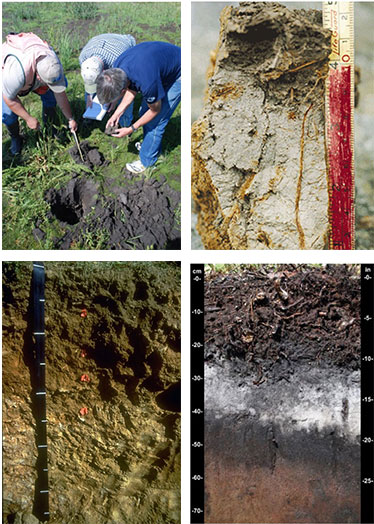 The National Association of Wetland Managers (formerly the Association of State Wetland Managers) developed this online training series focusing on hydric soils for wetland professionals. This training series has returned to its original format as a four module training series. It was designed for wetland field practitioners who need expertise in hydric soils and seek to understand how hydric soils are formed and how to recognize and interpret the information they provide when observed in the field. These can also be used as refresher courses for those practitioners who have not had soils training in recent years.
Target Audience
Wetland professionals, specifically state and tribal wetland field staff (plus state/tribal wetland managers, local municipal officials, conservation commissions, boards of health and others).
Information about the Hydric Soils Training Modules (4 modules)
The training series spans four module topics - Basics of Hydric Soils, Hydric Soil Processes, Landforms and Landscapes, and Using Field Observations of Soils Onsite in Decision Making. Each module contains three training presentations.
Optional Module Quiz and Certificate of Completion for Use in Applying for Continuing Education Credits (CEUs)
Each online module in the Hydric Soils Training Series is accompanied by an optional knowledge assessment quiz available through ClassMarker. The quiz assesses understanding of the key take-away points of the training. See the ClassMarker tabs below for more information.
NAWM Members - as a benefit of membership, you may view the learning modules on your NAWM Member Portal and download a free Certificate of Completion for each module quiz that you pass. Log In to the membership portal to access the learning modules and quizzes.
 Non-Members - each module is available to purchase for $50.00 USD. Your module purchase provides access to view the learning module in Member365 and access the knowledge assessment quiz on ClassMarker. Secure payment is made through BAMBORA.
Please click the tabs below to register for Module 1, 2, 3, and 4. Module 01: Basics of Hydric Soils Trainer: Dr. W. Lee Daniels, Virginia Tech1 This training covers both the five factors of formation and horizonation vs. simple processes. The training begins with a review of redox reactions and redoximorphic features. Reduction and concurrent oxidation (redox) are the dominant chemical processes taking place in wetland soils. There are abiological and biological driven redox reactions in wetland soils. The session focuses on reactions driven by microbial breakdown of organic matter in soils under saturated conditions that lead to unique anaerobic conditions that meet the hydric soil definition of USDA. These redox reactions lead to mobilization of soluble Fe and Mn (depletion zones and surfaces) and subsequent reoxidation (concentration zones and surfaces), collectively called redoximorphic features. Redox feature types are identified through images. Description of the features is briefly reviewed, in preparation for use as components of field indicators of hydric soils 1B. Soil Texture and Structure Trainer: Dr. Ann Rossi, U.S. Environmental Protection Agency 1C. Describing Soil Color for Hydric Soils Determination Trainer: Lenore Vasilas, USDA Natural Resources Conservation Service This training focuses on describing soil color. Soil color and the color patterns in soil can tell you a lot about the soil. It is an especially good indicator of soil wetness and hydric soils. The primary components that give a soil its color are soil organic matter, iron, and the color of soil particles. The Munsell Soil Color System is the standard we use to document soil color. When documenting soil color, it is important to note matrix color, mottle colors, and type, location, and abundance of mottles. Module 02: Hydric Soil Processes 2A. Redox Reactions and Redoximorphic Features Trainer: Dr. John Galbraith, Viginia Tech This training begins with a review of redox reactions and redoximorphic features. Reduction and concurrent oxidation (redox) are the dominant chemical processes taking place in wetland soils. There are abiological and biological driven redox reactions in wetland soils. The training will focus on the reactions driven by microbial breakdown of organic matter in soils under saturated conditions that lead to unique anaerobic conditions that meet the hydric soil definition of USDA. The redox reactions lead to mobilization of soluble Fe and Mn (depletion zones and surfaces) and subsequent reoxidation (concentration zones and surfaces), collectively called redoximorphic features. Redox feature types are identified through images. Description of the features will be briefly reviewed, in preparation for use as components of field indicators of hydric soils. 2B. Hydric Soils Functions Trainer: Bruce Vasilas, University of Delaware This training focuses on wetland functions attributed directly to hydric soils. Functions are the biological, chemical, and physical processes that occur in wetlands. Hydric soils play a direct role in the wetland functions of water retention (short term and long term), sedimentation, carbon sequestration and biogeochemical cycling of nutrients. Due to their capacity to become anaerobic close to the surface, hydric soils support unique plant communities and wildlife habitat unlikely to be found in uplands. Functional capacity is influenced by landscape position, hydrologic characteristics, and soil characteristics. Soil characteristics that affect wetland functions include porosity, permeability, drainage class/hydroperiod, organic matter content, slope, micro-topography, and chemical properties. 2C. The Hydric Soil Technical Standard Trainer: Lenore Vasilas, USDA Natural Resources Conservation Service This training focuses on the Hydric Soil Technical Standard. The Hydric Soil Technical Standard (HSTS) provides a quantitative method of determining if a soil meets the definition of a hydric soil. The HSTS can be used to: 1) Identify a soils forming as hydric soils when a field indicator may not be present (e.g. wetland creation sites, problematic hydric soils); 2) Evaluate the current functional status of a hydric soil (e.g. change to hydrology); and 3) Propose changes to hydric soil indicators (e.g. expanding jurisdictional extent of an indicator, revising an existing indicator, adding a newly developed indicator). The HSTS requires quantitative measurements showing the soil becomes saturated and anaerobic in the upper part during normal precipitation years. Module 03: Landforms and Landscapes 3A. Landscapes and Hydric Soils Trainer: Dr. Bruce Vasilas, University of Delaware The training focuses on typical hydric soil morphologies associated with major wetland types-tidal marshes, peat bogs, perennially-inundated swamps, mineral soil flats, floodplains, depressions, and slope wetlands. The roles of landscape position, hydroperiod, and hydrodynamics on soil morphology will be emphasized. Soil morphology is impacted by the duration of inundation, and the seasonal vertical fluctuations in water tables. Water collecting surfaces such as closed depressions facilitate ponding; water shedding surfaces on slopes promote rapid movement of surface water through the wetland. Peat bogs are hydrologically isolated and permanently saturated; floodplains receive hydrologic inputs from overbank flow and groundwater discharge and exhibit short-term inundation. Therefore, because of differences in landscape position and associated hydrologic characteristics different types of wetlands produce distinctive hydric soils. 3B. Problematic Landscapes and Parent Materials Trainer: Lenore Vasilas, USDA Natural Resources Conservation Service The training focuses on problematic landscapes and parent materials. Most hydric soils exhibit certain common morphological characteristics that allow you to identify them as a soil that meets the hydric soil definition. Problem soils are hydric soils that do not exhibit these common hydric soil morphologies. The lack of a morphological indicator despite the soil developing anaerobic conditions in the upper part can be caused by many things including problematic parent material, certain environmental conditions, and the replenishment of iron oxides or new sediments in the upper part of the soil. For some problem soils, alternate morphologies that can only be used in specific problematic situations have been developed. For those problematic situations where an indicator has not been identified, alternative methods of identifying the soil as hydric must be employed. These techniques are outlined in chapter 5 of the Corps of Engineers Regional Supplements. 3C. HGM and Hydric Soils Trainer: Richard Weber, USDA Natural Resources Conservation Service The module focuses on the Hydrogeomorphic (HGM) system and hydric soils. The classification of wetlands in the HGM system is based on landscape position, dominant water source, and hydrodynamics – the magnitude and direction of water inflow and outflow. Information on these parameters is contained in soils information, which is housed in the Web Soil Survey and the soils database. While HGM interpretations are not provided directly, knowledge of soils attributes can be readily applied to make HGM class and sub-class designations. These attributes can be used to aggregate soil map units into HGM site concepts. A site concept is valid when all map units have similar water budgets, are in the same watershed position, and have the same water movement vectors. The HGM system also requires the definition of a Reference Domain, within which HGM classifications are valid. Since soil map unit concepts are generally consistent within a Major Land Resource Area, this boundary is the first selection for the Reference Domain. Since landscape position is more meaningfully defined as watershed position, the HUC-12 watershed scale is useful for heads-up testing of map unit aggregations. Since map units often need to be either aggregated, or disaggregated into components, the use of Digital Elevation Data is useful for performing these “lumping” or “splitting” operations. The final result should be a HGM sub-class with associated map units, or components, which can be mapped across the MLRA extent, and which is useful for land managers and conservation planners. Module 04: Using Field Observations of Soils Onsite in Decision Making Note: If you are not familiar with the basics of hydric soils, we recommend that you complete the earlier modules in the series prior to participating in Module 4 to optimize your learning experience. 4A. Using the NTCHS Indicators of Hydric Soils (Version 7.0) aka Field Indicators of Hydric Soils in the United States Trainer: John Galbraith, Virginia Tech This training focuses on using the NTCHS Indicators of Hydric Soils (Version 7.0) for onsite decision making about soils in the field. This module shares what resources you will need to use the indicators, how to access the electronic resources (including guides, errata sheets and more). The module will help participants understand the definitions of key terms for this work, as well as show how to combine the use of these resources effectively to aid decision making in the field. This module brings together many of the main concepts from earlier modules (e.g. soil textures, colors, landforms) and helps the participant understand their application in an applied setting. The module will cover important indicator caveats and provide other useful guidance for working with NTCHS Indicators of Hydric Soils in the field. 4B. Using Soil Science Principles for Wetland Mitigation, Voluntary Restoration and Creation Trainer: W. Lee Daniels, Virginia Tech The training focuses on how wetland professionals can use soil science principles in onsite decision making for work in the areas of wetland mitigation, voluntary wetland restoration and wetland creation. The training identifies common fallacies about wetland creation and reviews wetland soil reconstruction guidance protocols. The training includes a review of learning from 20 years of collaborative research on the limitations of created wetland soils. 4C. Using Field Indicators to Assess Long-term Hydrology Trainer: Dr. Bruce Vasilas, University of Delaware The training focuses on potential uses of Field Indicators of Hydric Soils to assess hydrologic characteristics of individual wetlands. This training does not teach about the Field Indicators themselves, but rather the benefits of hydrologic characterization and considerations for the use of the Field Indicators in onsite decision making. Notes: It is not the objective of this training presentation to provide training on the field Indicators themselves. Training on field indicators is available in Dr. Galbraith’s presentation earlier in this training. If you are not familiar with the basics of hydric soils, we recommend that you complete the earlier trainings in the series prior to participating in Training 4 to optimize your learning experience.
Module 01
 1A. The Five Factors of Soil Formation and Horizonation vs. Simple Processes
This training focuses on two physical soil properties --- texture and structure. Soil texture describes the relative proportions of sand, silt, and clay in a mineral soil. In soils where organic matter contents are high (such as hydric soils) organic textural classes or modifiers may be used to describe the soil texture instead. Soil structure describes the naturally occurring arrangement of soil particles into peds or aggregates. The combination of soil texture and structure influences how water is stored and moves through the soil, as well as other soil processes. This training covers how these properties are characterized, as well as how they influence hydric soil processes.
1A. The Five Factors of Soil Formation and Horizonation vs. Simple Processes
This training focuses on two physical soil properties --- texture and structure. Soil texture describes the relative proportions of sand, silt, and clay in a mineral soil. In soils where organic matter contents are high (such as hydric soils) organic textural classes or modifiers may be used to describe the soil texture instead. Soil structure describes the naturally occurring arrangement of soil particles into peds or aggregates. The combination of soil texture and structure influences how water is stored and moves through the soil, as well as other soil processes. This training covers how these properties are characterized, as well as how they influence hydric soil processes.
Module 02
Module 03
Module 04
ClassMarker
Class Marker Information
Please Note, Scheduled Maintenance: ClassMarker will be doing scheduled maintenance on Saturday, December 20 at 6:00 p.m. ET for 5 to 6 hours. During this time, you will not be able to get certificates for webinars or online trainings.
Each module includes an optional 15-question randomized quiz hosted in the ClassMarker system. Successful completion of the quiz provides the opportunity to earn a Certificate of Completion for use in applying for Continuing Education Credits (CEUs).
Optional Module Quiz and Certificate of Completion for Use in Applying for Continuing Education Credits (CEUs)
To receive a Certificate of Completion for the selected online module, participants must certify that they viewed the online training and complete the quiz with a minimum score of eighty percent (80%) for the knowledge-based questions. Participants scoring less than eighty percent of the knowledge-based questions correctly will be provided with one additional opportunity to pass the quiz (total of two attempts).
ClassMarker Quiz Registration
To receive your certificate, you must BOTH:
You will be prompted to download your Certificate of Completion from ClassMarker after you complete the quiz. Once you download your certificate, you can then submit the certificate to the accrediting organization of your choice to potentially receive continuing education units/credits.
If you did not answer at least 80% of the quiz questions correct on your first attempt, you can re-take the test one more time (total of two attempts). Return to the NAWM module page and START the test again.
You must use the same email, password and Access Code for the second quiz attempt for the same module. ClassMarker will recognize your email for the specific training module and will not charge you for the second attempt. If you do not achieve at least 80% of the quiz questions correct on your second attempt, you will not be eligible to receive a Certificate of Completion.
If you have any questions, please contact Laura Burchill at the NAWM office at (207) 892-3399.