MAWWG-NEBAWWG Webinar Series: Developing Wetland Conditional and Functional Assessments
Held Tuesday, December 10, 2024 - 3:00-4:30 p.m. EST
INTRODUCTION
- Ian Grosfelt, National Association of Wetland Managers [Presentation PDF]
PRESENTERS [Presentation PDF]
- Beth Connors, Maine Department of Environmental Protection
- Doug Suitor, Maine Department of Environmental Protection
ABSTRACTS
Beth Connors and Doug Suitor
The Maine DEP Biological Monitoring Program assesses the health of freshwater wetlands, rivers and streams by sampling aquatic macroinvertebrates and algae. Current wetland monitoring and assessment focuses on shallow emergent and aquatic bed wetland habitat associated with marshes, slow-moving rivers and streams, lakes and ponds. Maine's Water Classification Law establishes management goals and corresponding standards and criteria for all waters of the State. The Biological Monitoring Program developed statistical models to help determine if wetlands meet narrative aquatic life criteria for their legislatively-assigned water quality class under the state’s water quality standards. To improve wetland condition assessments and advance our ability to determine water quality class attainment we are developing Floristic Quality Assessment (FQA) metrics based on Coefficients of Conservatism (CoCs) developed for Maine and the Northeast Omernik III Ecoregions. We are identifying plant metrics useful in diagnosing impairment from specific stressors such as nutrient enrichment, sedimentation, water level changes and toxic chemicals, and determine condition thresholds relative to reference wetlands.
BIOS
 Beth Connors has worked with the Maine DEP’s Biological Monitoring Program in various capacities since 2002. Starting as a field technician and working up to lead the program’s wetland monitoring and assessment activities, she’s had a hand (or foot or paddle) in all types of freshwater biological monitoring done by the program. She has been instrumental in developing new biological criteria for macroinvertebrate and algal assemblages that will be incorporated into Maine’s water quality standards. Beth enjoys traveling across the state to explore rivers, streams and wetlands that others don’t generally see. Her current favorite pastime is discussing books, music and the mysteries of middle school with her 13-year-old son.
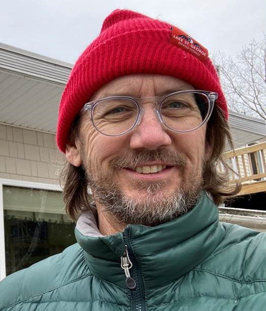 Doug Suitor is an aquatic biologist with the Maine Department of Environmental Protection’s Biomonitoring Unit. His work is focused on the assessment of wetland water quality and habitat. Research interests include incorporating aquatic plant and bird communities into wetland health evaluations. He joined the DEP after spending 15 years in FL working in marine habitat and endangered species management.
Please click only once on each video recording to view in this window.

MAWWG-NEBAWWG Webinar Series: Salt Marsh Projects and Programs
Held Wednesday, December 4, 2024 - 3:00-4:00 p.m. EST
INTRODUCTION
- Ian Grosfelt, National Association of Wetland Managers [Presentation PDF]
PRESENTERS
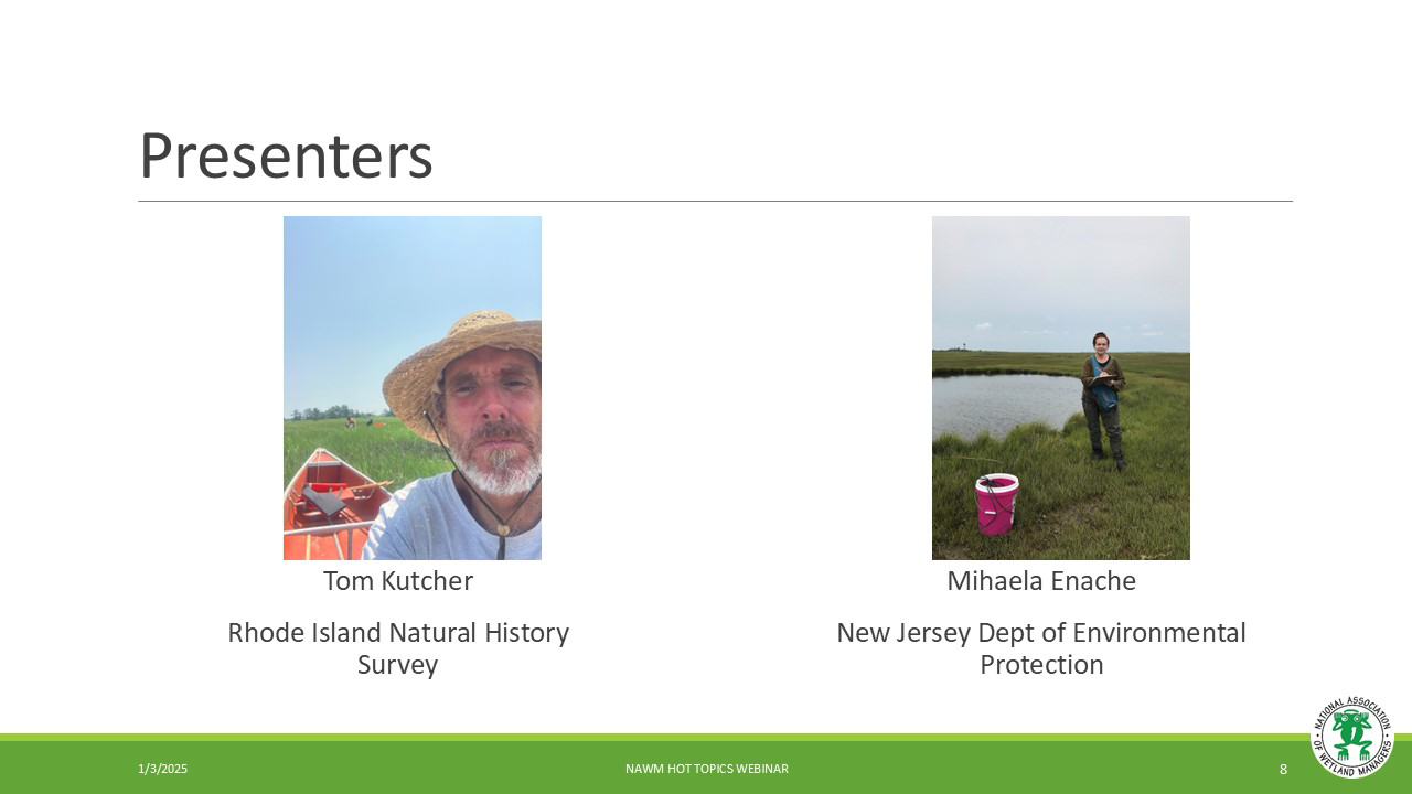
- Mihaela Enache, New Jersey Department of Environmental Protection [Presentation PDF]
- Tom Kutcher, Rhode Island Natural History Survey [Presentation PDF]
ABSTRACTS
Mihaela Enache
Diatom-based applications for assessment and monitoring of New Jersey coastal wetlands condition
Due to high sensitivity to environmental conditions, diatoms are one of the most used aquatic indicators in environmental assessment, mitigation, and monitoring. NJDEP started investigations based on coastal diatoms in collaboration with external partners in 2012 . These investigations revealed an inventory of more than 800 species, with about one third being new to science. Numerical analyses revealed strong relationships between diatoms and salinity, nutrients, and tidal exposure. Weighted-averaging partial least square transfer functions were developed for Tidal Exposure Index (TEI; R2boot = 0.87; RMSEPboot = 15.6%) and Standardized Water-Level Index (SWLI; R2boot = 0.56; RMSEPboot = 0.18) to assess the sea level rise (SLR) impacts, in addition to sediment total nitrogen concentration (TN; R2boot = 0.58; RMSEPboot = 0.29% dry weight). Investigations were conducted based on sediment diatoms on a high number of NJ wetland sites to reveal regional trends in tidal flooding and nutrient pollution. Overall, sites with highest nitrogen pollution and sites that are receiving highest impacts from tidal exposure did not reveal a specific regional trend but were scattered across the NJ coast suggesting that conditions can vary locally. Results from these investigations are providing wetland stakeholders with an additional tool to establish restoration goals and ensure best management practices to address nutrient pollution, climate change, and SLR.
Tom Kutcher
Rhode Island’s Salt Marsh Restoration, Assessment, and Monitoring Program (RAMP)
Rhode Island salt marshes are in critical danger of degradation and loss from pervasive anthropogenic disturbances, including inundation stress associated with sea-level rise. In recent decades, salt marsh platform elevations have lagged behind the rising tide frame concurrent with a loss of nearly 12% of vegetated area from edge and platform dieoff. Managers and scientists have responded by developing and implementing plans to organize salt-marsh monitoring, assessment, and intervention efforts while leveraging collective knowledge across state, federal, academic, and NGO agencies. The multi-agency collaboration we call the Salt Marsh RAMP (Restoration, Assessment, and Monitoring Program) has made steady progress in actuating these plans by standardizing management tools and methods across agencies, collecting condition and disturbance data across numerous marshes, expanding long-term monitoring sites and methods, prioritizing marshes for restoration and migration facilitation, testing and implementing innovative restoration and conservation methods, documenting and assessing restoration outcomes, applying adaptive management, and increasing the state’s capacity to initiate and carry out restoration and conservation actions. This presentation outlined our past, current, and upcoming work.
BIOS
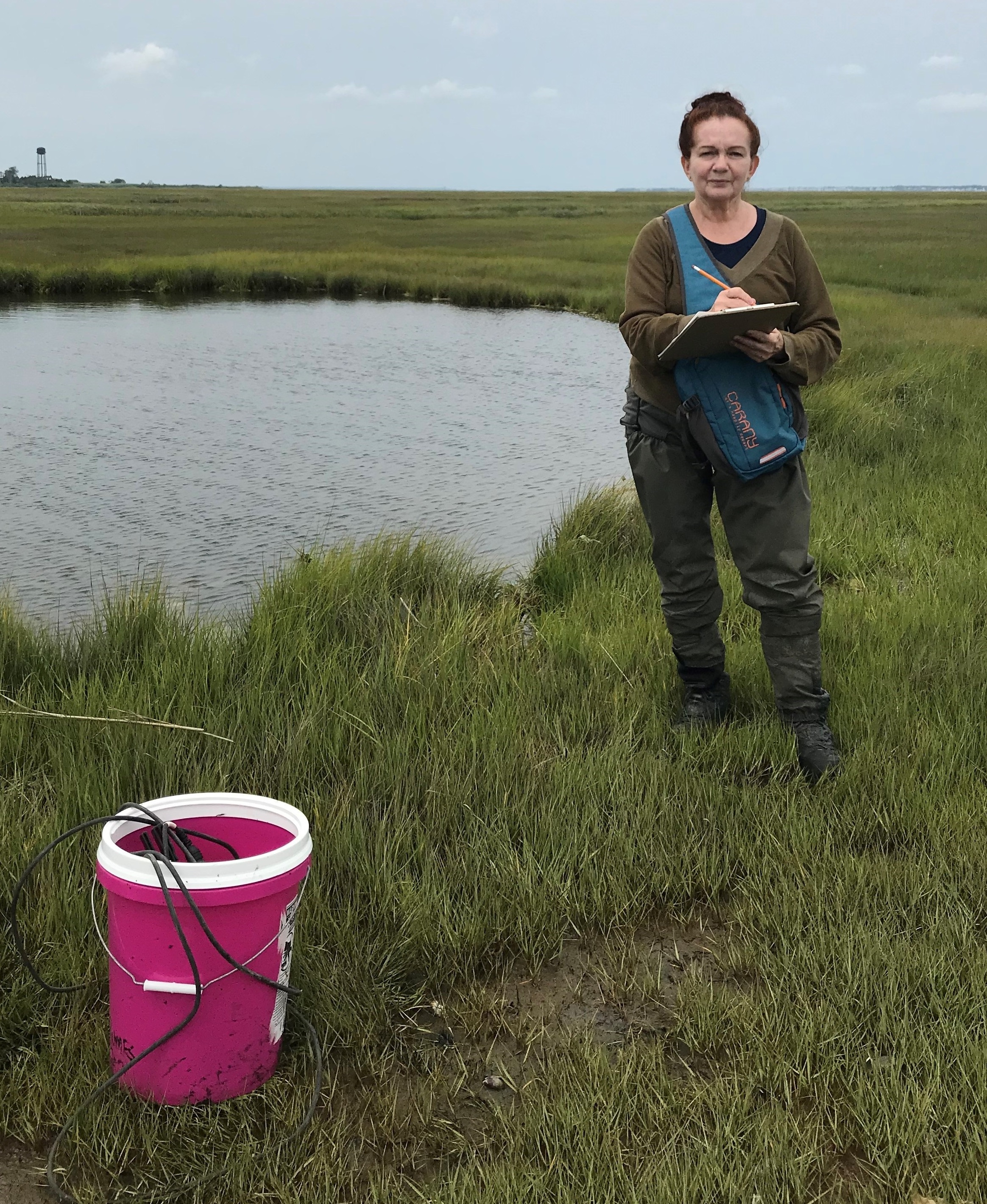 Mihaela Enache first connections to the microscopic world started in eastern Europe, at the beautiful and old University Al. I. Cuza with the study of microscopic fossils and their applications in biostratigraphy. There, she focused on foraminifera found in the mid-Miocene from the Carpathians and the Cheliff Basin in N Africa. At that time, she totally fell in love with the study of microfossils and their potential in telling the fascinating past of the earth. Then, she had the opportunity to work with diatoms as part of a national –scale project meant to protect Canadian forests. That was love at first sight! Then she pursued to look deeper into how diatoms can be used to reconstruct past climate conditions and forest fire relationships in lakes from British Columbia. Her experience with diatoms encompasses a quarter century and since 2012 at New Jersey Department of Environmental Protection she is working on diatom-based applications in freshwater and coastal systems. These applications are encompassing reconstruction of reference conditions, direction of change under anthropogenic stressors, and present-day condition assessment. Mihaela has a Doctorate in micropaleontology from the University Al.I Cuza (Romania) and a PhD in paleolimnology from Queens University (Canada)
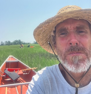 Tom Kutcher is a Wetland Scientist for the Rhode Island Natural History Survey, where he works to develop wetland monitoring, assessment, and restoration programming for Rhode Island’s state environmental agencies. He is a co-author of the Rhode Island Salt Marsh Monitoring and Assessment Strategy and principal author of the Rhode Island Coastal Wetland Restoration Strategy. Tom has developed and implemented wetland monitoring and assessment methods across Rhode Island, including for recent large-scale salt marsh restoration projects. Tom formerly worked as Stewardship Coordinator at the Narragansett Bay Estuarine Research Reserve, served as the Narragansett Baykeeper with Save The Bay and the Waterkeeper Alliance, and has worked as an adjunct instructor in the Landscape Architecture Program at the Rhode Island School of Design. Tom lives and recreates along the shores of Narragansett Bay with his marine-biologist wife and two salty kids.
Please click only once on each video recording to view in this window.
MAWWG-NEBAWWG Webinar Series: Updating the National Wetlands Inventory in US Territories
Held Wednesday, September 4, 2024 - 3:00-4:00 p.m. EDT
INTRODUCTION
- Ian Grosfelt, National Association of Wetland Managers [Presentation PDF]
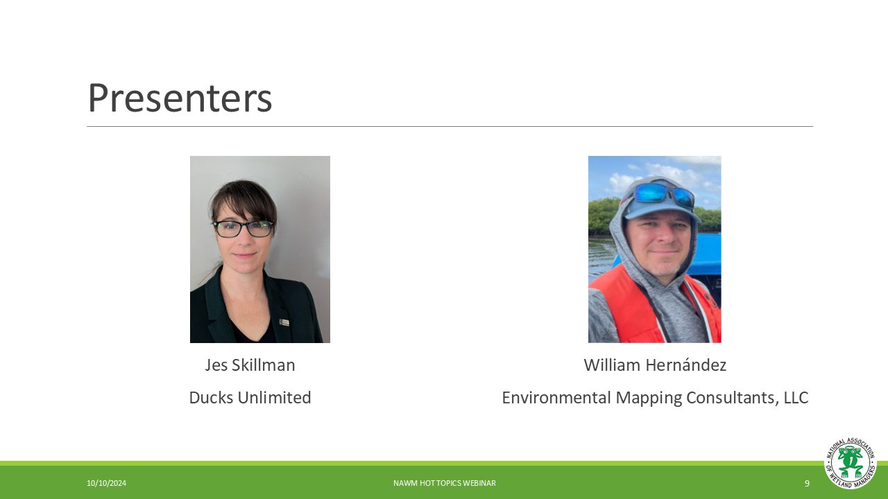
PRESENTERS
- Jes Skillman, Ducks Unlimited [Presentation - PDF]
- William Hernández, Environmental Mapping Consultants, LLC. [Presentation - PDF]
BIOS
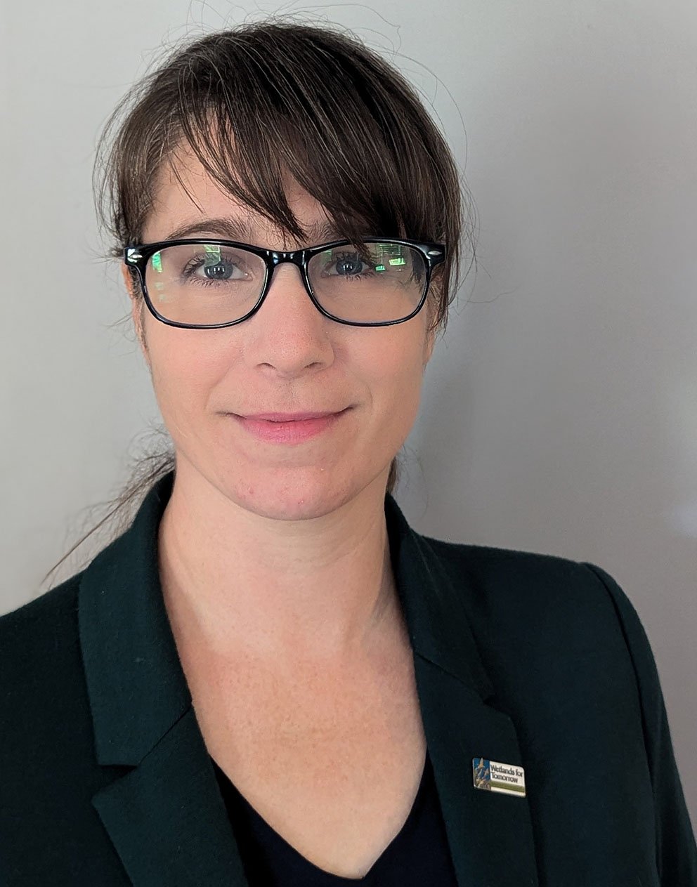 Ms. Skillman has over 12 years' experience in Conservation GIS at Ducks Unlimited. She currently manages and coordinates the Geospatial Department of Duck’s Unlimited’s Great Lakes / Atlantic office. In this role, Ms. Skillman works closely with stakeholders, the DU Conservation Team, and the DU GIS team to develop baseline data, priority area mapping tools, and web applications that align with conservation goals. She has experience mapping wetlands, landcover, and protected lands. She has also built several decision support tools and online web mapping applications for planning, decision support, and collaboration. Ms. Skillman has a BA in Ecology from the University of Toronto and a Masters in Conservation Biology from the University of Michigan.
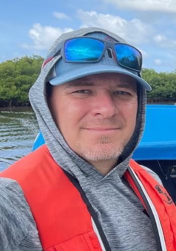 Dr. Hernández is the Founder and Executive Director of Environmental Mapping Consultants LLC. He has more than 18 years of experience in the development and implementation of geographic information systems (GIS) and remote sensing (RS) applications to in coastal and marine ecosystems and a wide range of industries. He has led research projects studying the impacts of Sargassum and coastal water quality using satellite remote sensing technology and field monitoring. Dr. Hernández holds a PhD in marine sciences with a specialty in biological oceanography from the University of Puerto Rico Mayagüez, and postdoctoral studies in satellite remote sensing and coastal water quality from City College, City University of New York.
Please click only once on each video recording to view in this window.

American Wetlands Month Webinar:
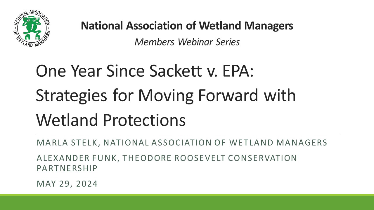
One Year Since Sackett v. EPA: Strategies for Moving Forward with Wetland Protections
Held Wednesday, May 29, 2024 - 3:00 p.m.-4:30 p.m. EDT
In celebration of American Wetlands Month in May, this Members' Webinar was open to all.
ABSTRACT
Wetlands and streams are at risk more than ever at the global and national level. The most recent U.S. Fish and Wildlife Service Wetlands Status and Trends Report finds that more than half of wetlands in the lower 48 states are gone, and loss rates have increased by 50 percent since 2009. Additionally, the 2023 Supreme Court decision on Sackett v Environmental Protection Agency (EPA) rolled back federal protections of wetlands and other water bodies. Some estimates anticipate a loss of protections on 63% of our nation's wetlands as a consequence of the Sackett decision. The result is that state and Tribally led clean water protections are more important now than ever. Without additional conservation actions to protect these ecosystems, wetland loss will likely continue, reducing ecosystem benefits for people and habitat for fish and wildlife.
How do we move forward? While there is no one right or best way to approach this dilemma, one thing is clear – partnerships will be critical for success. In this webinar, you learned about approaches that two organizations, the National Association of Wetland Managers and the Theodore Roosevelt Conservation Partnership, are taking to increase public awareness about the value of wetlands as well as gain support in Congress to increase funding and flexibility for federal, state and Tribal wetland programs.
INTRODUCTION
- Portia Osborne, Project Managers, National Association of Wetland Managers [Presentation PDF]
PRESENTERS
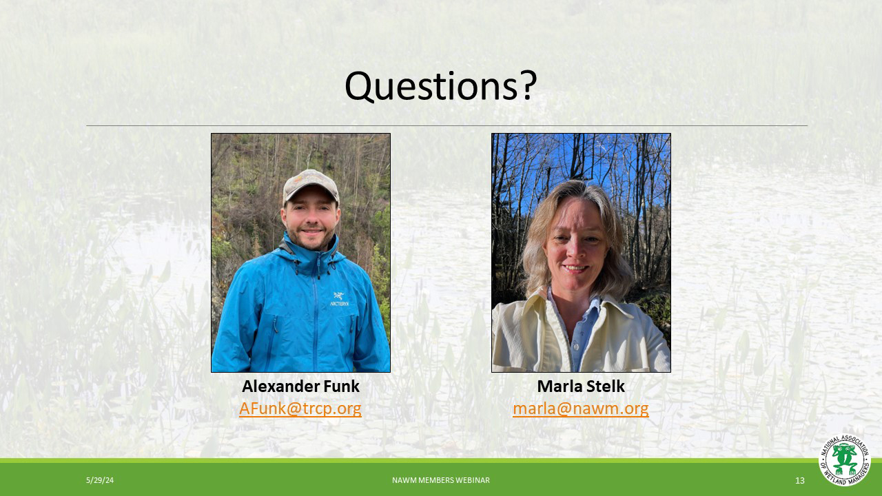
- Marla Stelk, National Association of Wetland Managers [Presentation PDF]
- Alexander Funk, Theodore Roosevelt Conservation Partnership [Presentation PDF]
BIO
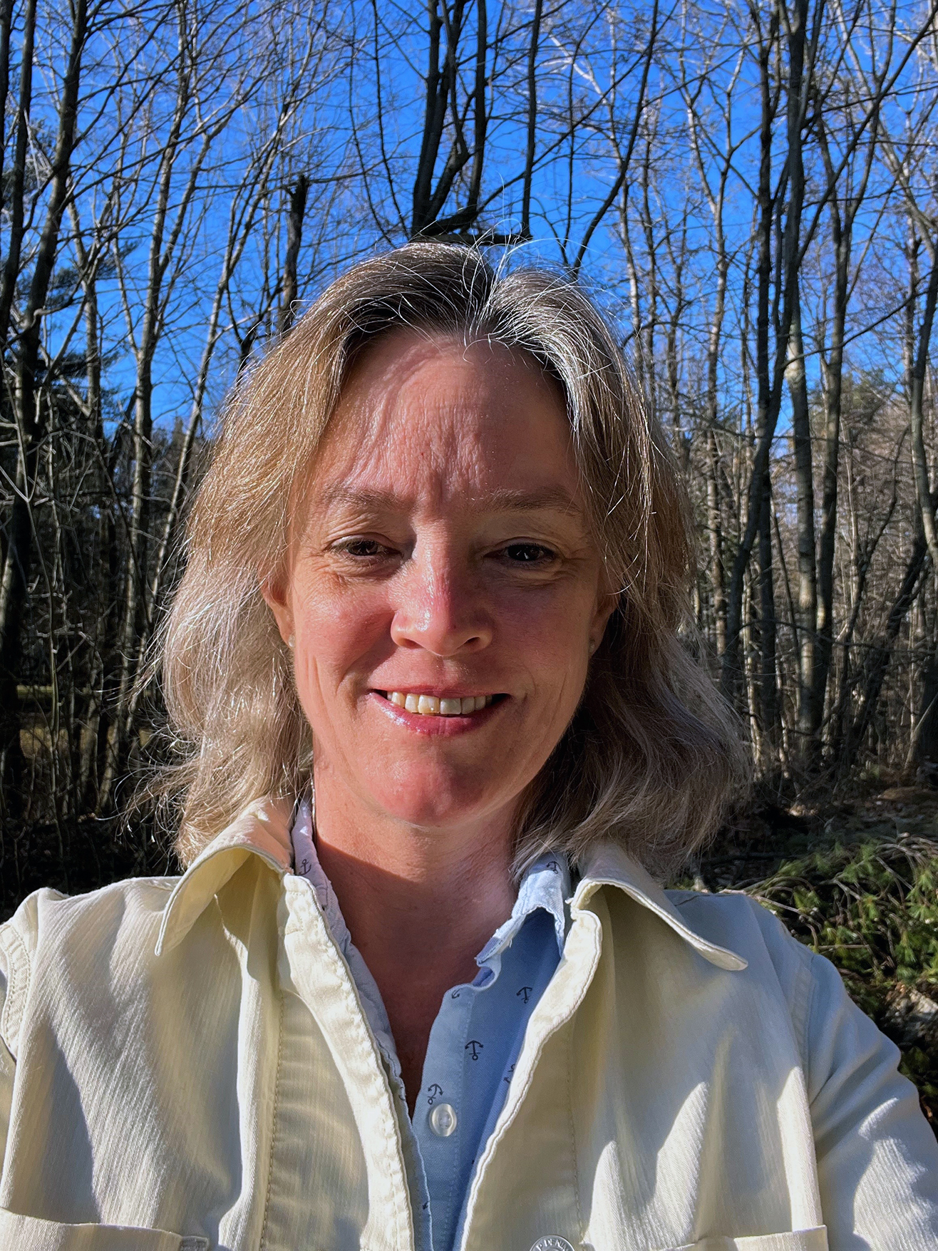
Marla Stelk is the Executive Director at the National Association of Wetland Managers (NAWM) where she has worked on wetland policy and management issues since 2013. Marla has over 25 years of experience working on wetland, water, and wildlife issues, climate change, environmental policy and research, land use planning, communications and organizational leadership. Marla has led research at NAWM on topics such as ecosystem service valuation for wetland restoration, the role of wetlands in floodplain and natural hazard management, wetlands and watershed health, wetland mapping and communications. Prior to coming to NAWM, Marla worked for a variety of environmental and social nonprofit organizations helping to build organizational capacity, manage projects and improve internal processes. Marla earned her MA in Community Planning and Development with a focus on Land Use and the Environment at the University of Southern Maine’s Muskie School of Public Service and her BA in Environmental Issues from Colorado College.
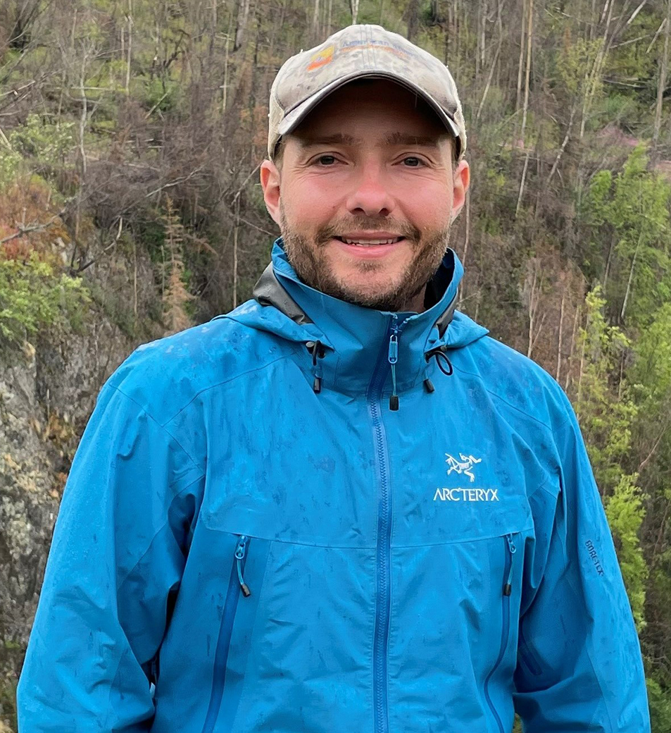 Alex Funk is the Director of Water Resources and Senior Counsel for the Theodore Roosevelt Conservation Partnership, which works to guarantee all Americans a quality place to hunt and fish. Alex has over a decade of experience working on Colorado River and western water challenges. In his role with the TRCP, Alex leads the organization’s national freshwater policy efforts focusing on issues ranging from the Clean Water Act to securing federal funding to increase the pace and scale of watershed conservation and restoration projects benefiting fish and wildlife. Alex previously served as the Agricultural and Rural Resiliency Policy Specialist at the Colorado Water Conservation Board, where he acted as the agency’s liaison to agricultural stakeholders on federal and state water policy issues, including such topics as demand management and voluntary water sharing agreements. Prior to CWCB, Alex served as the Western Policy Director for the National Young Farmers Coalition, focusing on Farm Bill policy, and a legal fellow with American Rivers.
Alex earned his Juris Doctorate from Vermont Law School and his bachelor’s degree in environmental policy and planning from Virginia Tech. Alex is a graduate of the Colorado Water Leaders Program with Water Education Colorado and is currently a member of the 2024 Colorado River Leaders cohort with the Water Education Foundation. Alex lives in Denver, Colo., with his family and can frequently be found mountain biking, backpacking, climbing fourteeners, and paddling his kayak around the West.
Please click only once on each video recording to view in this window.

MAWWG-NEBAWWG Webinar Series: Wetland Classifications
Held Wednesday, May 22, 2024 - 3:00-4:00 p.m. ET
INTRODUCTION
- Ian Grosfelt, National Association of Wetland Managers [Presentation PDF]
PRESENTERS
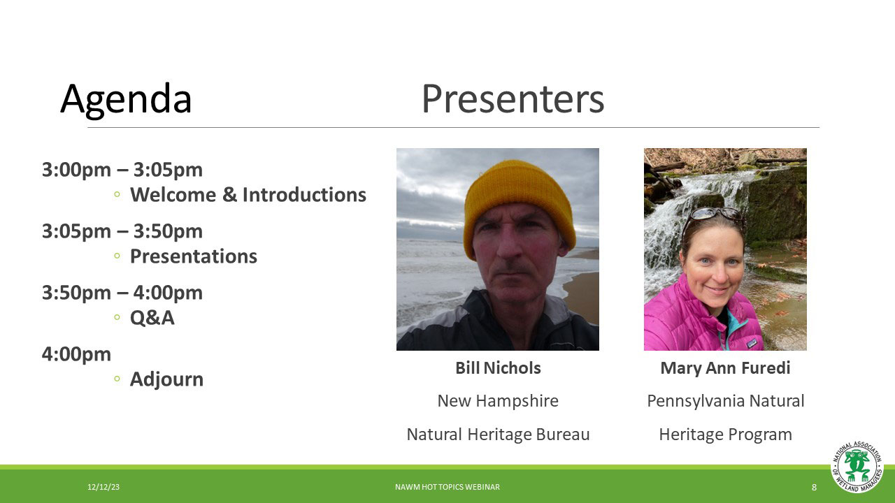
- Bill Nichols, New Hampshire Natural Heritage Bureau [Presentation PDF]
- Mary Ann Furedi, Pennsylvania Natural Heritage Program [Presentation PDF]
ABSTRACTS
Bill Nichols
NH Natural Heritage Bureau’s (NHB) ecological system classification provides a practical scale to inform the coarse filter approach to biodiversity conservation, whereby conserving an adequate number of viable examples of each system type, we can protect the majority of NH’s species. NHB gives special attention to exemplary ecological systems – ranging from all examples of rare types to high quality examples of common types – because they are among the best remaining examples of biological diversity in the state. This presentation identified the steps that collectively provide the science-based results used to inform conservation, wetland permit review, and mitigation in New Hampshire.
An examination of seepage wetlands in Pennsylvania
Mary Ann Furedi
Seepage wetlands represent a unique group of wetlands in Pennsylvania. They form in localized areas of groundwater discharge and play important biological and ecological roles. Given their small size, seepage wetlands are often poorly mapped and may be easily overlooked from a land management perspective. This presentation focused on how plant communities can be used to identify and better understand the distribution of these important aquatic resources.
BIOS
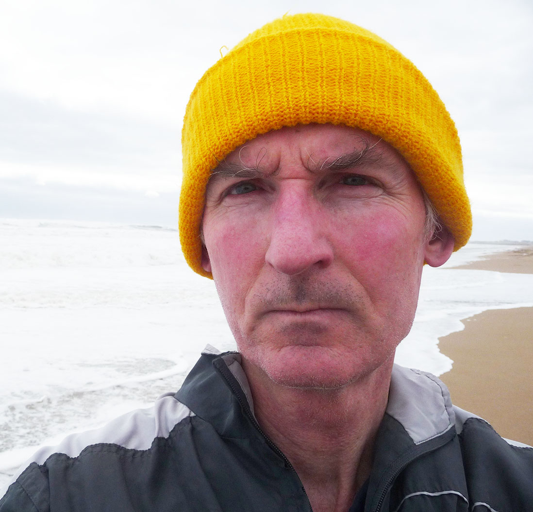 Bill Nichols is the Senior Ecologist and State Botanist with the New Hampshire Natural Heritage Bureau, where he has worked since 1996. Prior to this position, he worked for six years with the Massachusetts Audubon Society and the Audubon Society of Rhode Island. Bill has a Master of Science Degree in Botany from the University of Rhode Island and a Bachelor of Science Degree in Marine Biology from the University of New England. Bill has authored/coauthored 25 journal articles on ecological integrity assessment methods and NH’s flora and natural communities.
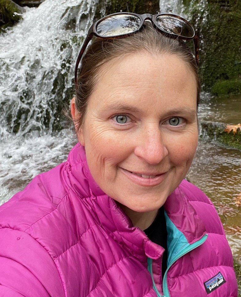 Mary Ann Furedi is the Ecological Assessment Manager with the Pennsylvania Natural Heritage Program at the Western Pennsylvania Conservancy. Mary Ann earned a Ph.D. in Biology from West Virginia University studying the impacts of deer browsing on the demography of American ginseng. Her work now primarily focuses on characterizing the current conditions of plant communities and plant populations and monitoring how they change over time.
Please click only once on each video recording to view in this window.

Status & Trends of Wetlands in the Conterminous U.S. from 2009-2019
Held Thursday, April 18, 2024 - 3:00-4:30 p.m. ET
INTRODUCTION
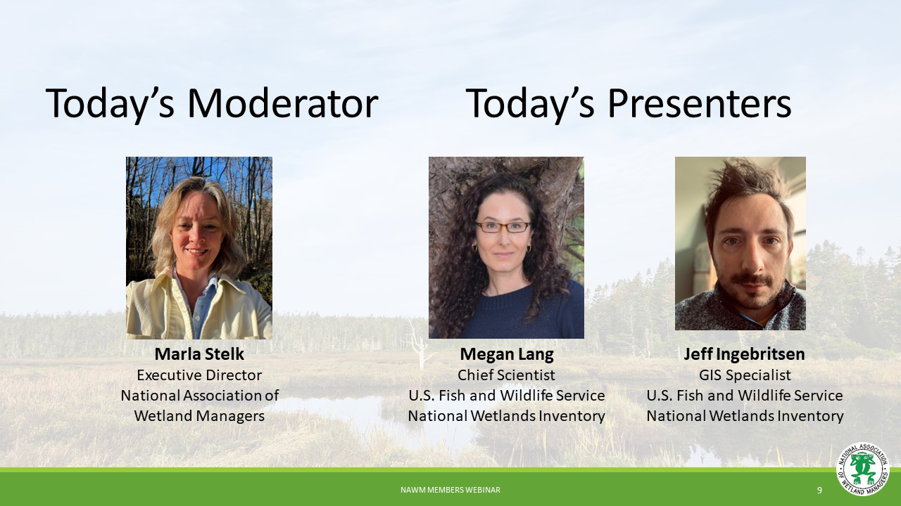
- Marla Stelk, National Association of Wetland Managers [Presentation PDF]
PRESENTERS [Presentation PDF]
- Megan Lang, U.S. Fish and Wildlife Service
- Jeff Ingebritsen, U.S. Fish and Wildlife Service
ABSTRACT
On March 22, the U.S. Fish and Wildlife Service (USFWS) released its sixth edition of the “Wetlands Status and Trends” report to Congress. The report, Status and Trends of Wetlands in the Conterminous United States 2009-2019, reveals that wetlands – 95 percent of which are freshwater — covered less than 6 percent of the lower 48 states as of 2019 – which is half the area they covered in the 1780s. The report also identifies that loss rates have increased by 50 percent since 2009 and that without additional conservation actions taken to protect these ecosystems, wetland loss will likely continue, reducing ecosystem benefits for people and habitat for fish, wildlife and plants. Report authors shared highlights from the report, including the methods used to collect and interpret wetland data, drivers of change, and the report’s conclusions and Storymap.
BIOS
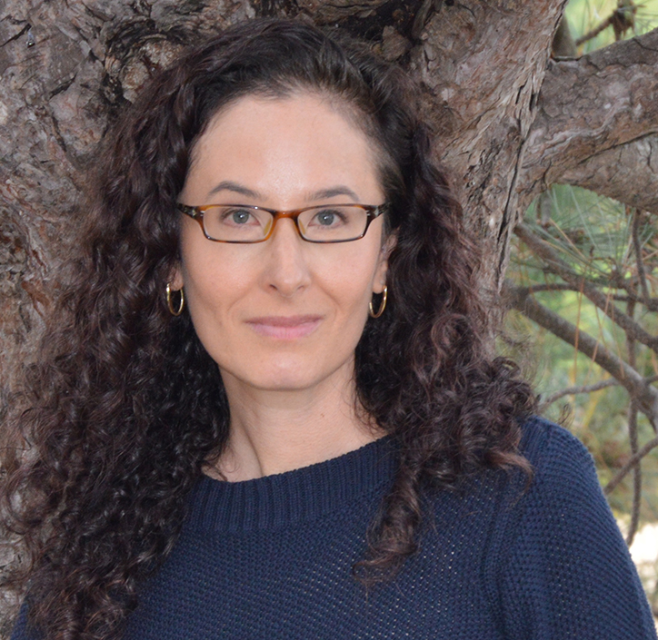 Megan Lang is Chief Scientist for the U.S. Fish and Wildlife Service National Wetlands Inventory Program and Project Lead for the Wetlands Status and Trends study. She is an Adjunct Professor at the University of Maryland Department of Geographical Sciences and serves as an Associate Editor for the journal Wetlands. Dr. Lang has been working to improve the assessment of aquatic ecosystems through field and remote sensing studies for over two decades. Before working for the U.S. Fish and Wildlife Service, she led the U.S. Department of Agricultural Mid-Atlantic Regional Wetland Conservation Effects Assessment Project.
 Jeff Ingebritsen is a GIS Specialist with the U.S. Fish and Wildlife Service's National Wetlands Inventory since 2013. He serves as the data manager for the Wetlands Status and Trends study. In addition to Status and Trends, Jeff works on various cartography, spatial analysis, and scripting projects for NWI. Jeff lives with his family in southern Wisconsin, where he enjoys gardening, cooking, and making music.
Please click only once on each video recording to view in this window.

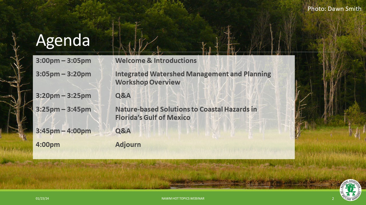
Integrated Watershed Management Planning: Southeast Workshop Introduction and Green Infrastructure for Coastal Resiliency
Held Tuesday, January 23, 2024 - 3:00-4:00 p.m. ET
NAWM, in partnership with the Association of State Floodplain Managers (ASFPM) through a cooperative agreement with the US EPA, is engaged in a training program to advance the integration of Clean Water act Programs with natural hazard mitigation planning and implementation. The focus of the training is on integrating programs to improve interagency planning and implementation of co-beneficial projects that reduce flood risk and improve water quality, among other benefits. Through this webinar, we recapped the first workshop held in Cincinnati in 2023, introduced information for our next workshop to focus on the Southeast in 2024, and highlighted a coastal green infrastructure project from Florida Sea Grant. See information on the 2024 Integrated Watershed Management Planning Workshop.
INTRODUCTION
- Ian Grosfelt, National Association of Wetland Managers [Presentation PDF]
PRESENTER
- Haley Cox, Florida Sea Grant [Presentation PDF]
ABSTRACT
Nature-based Solutions to Coastal Hazards in Florida’s Gulf of Mexico
Coastal areas in Florida’s Gulf of Mexico region experience disproportionate exposure to climate risks such as sea level rise (SLR) and intensifying storms. The City of Cedar Key, Florida is a small municipality (population < 750) in this region with particularly high exposure to climate hazards. In 2020, the NOAA tide gauge in Cedar Key recorded the 4th highest rate of SLR acceleration in the nation, and local sea level has risen nearly six inches since 1992 (Malmquist, 2021; VIMS 2022). The low-lying topography, deteriorating stormwater infrastructure, high exposure of Gulf hazards, and the accelerating rate of SLR combine to create extensive vulnerabilities to flooding and shoreline erosion.
Since 2014, the City of Cedar Key and its residents have collaborated with multidisciplinary project teams to develop nature-based solutions to erosion and coastal flooding. From 2016-2021, several living shorelines were constructed around Cedar Key’s Daughtry Bayou to address erosion impacts through restoration of shoreline habitat. Current projects such as Cedar Key ShOREs (Shoreline Options for Resilience and Equity), funded by the National Academy of Sciences Gulf Research Program, focus on achieving equitable shoreline and stormwater management solutions through community-supported green infrastructure installations. This presentation highlighted the role of these projects in natural hazard mitigation, water quality protection, and habitat enhancement.
BIO
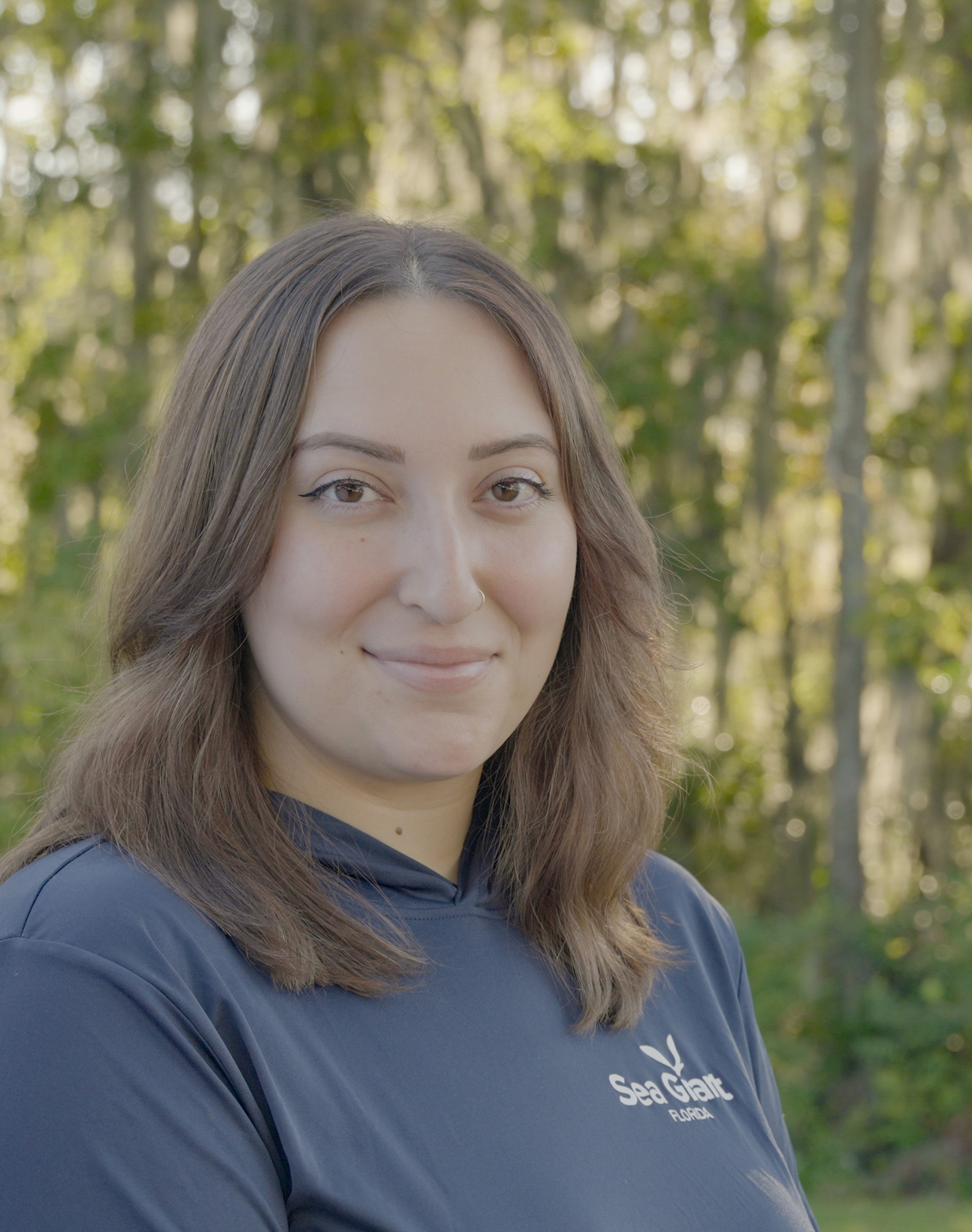 Haley Cox is a Coastal Resilience Program Coordinator for Florida Sea Grant responsible for expanding extension and education programs related to climate and resilience along Florida’s Nature Coast and other vulnerable areas of the state. Haley previously worked as an Environmental Specialist in the Water Resources Division of the Alachua County Environmental Protection Department, where her responsibilities included implementing educational programs focused on reducing nonpoint source pollution in urban watersheds, coordinating community outreach events, and conducting water quality monitoring. Prior to this, Haley worked in the Wetlands and Water Quality Laboratory at University of Florida, where she was involved in a variety of environmental studies across Florida, including the construction and monitoring of living shorelines in Cedar Key and other coastal communities. She has a B.A. in Sustainability Studies with minors in Soil and Water Science and Environmental Science from the University of Florida.
Please click only once on each video recording to view in this window.
![]()
PDF List of Past Hot Topics Webinar Recordings Here
View Upcoming Hot Topics Webinars
