Modeling Beavers, Springs, and Seeps
Held Wednesday, October 11, 2023 - 3:00 p.m.-4:30 p.m. ET
INTRODUCTION
- Ian Grosfelt, National Association of Wetland Managers [PRESENTATION PDF]
PRESENTERS
- Sarah Marshall, Colorado Natural Heritage Program [PRESENTATION PDF]
- Mike Knudson, GeoSpatial Services, St. Mary's University of Minnesota [PRESENTATION PDF]
ABSTRACTS
Developing High Resolution, Frequently Updated Wetland and Beaver Activity Maps for Colorado and the West using Machine Learning Techniques, Sarah Marshall, Colorado Natural Heritage Program - Sarah Marshall
As Colorado and the West experience increasing impacts of climate change and human population growth, wetlands and riparian areas are central to any discussion of future water supply. One critical barrier to incorporating wetlands into statewide habitat, water and natural hazard mitigation planning is a lack of recent, frequently updated wetland mapping with coverage across states and river basins. This gap is particularly relevant for the most dynamic wetland types such as headwater floodplain wetlands where wetted areas may change in extent on a scale of 1-10 years. The Colorado Natural Heritage Program (CNHP) and Lynker are collaborating to overcome this barrier by developing remote-sensing based wetland mapping that can be updated to capture past, current, and future wetland conditions. Using a combination of machine learning techniques and iterative expert training and feedback, the project team has worked to model and map wetland boundaries and identify specific wetland features including beaver ponds. Sarah Marshall with CNHP will present on the team’s work across Colorado and the Colorado River basin.
Evaluation of Prevalence Probability Prediction of Ground Water Discharge Springs in Missouri using the MaxEnt Machine Learning Algorithm - Mike Knudson
This project was an exploratory effort to assess the ability of geospatial and machine learning based modeling to predict presence of ground water discharge springs in a pilot study area. Field investigation to locate ground water discharge springs can be time consuming in large geographical areas, especially in areas that are difficult to access. Model development was based primarily on the methods developed by Gerlach et al. (2022). The authors identified six topographic variables as important for locating ground water discharge springs using the MaxEnt model: elevation, planform curvature, profile curvature range, distance to flowlines, terrain ruggedness index (TRI), and flow weighted slope (FWS). For this pilot project, we evaluated performance of these six predictor variables in locating springs in the pilot study area using a MaxEnt machine learning model. We also identified 10 additional variables that were commonly used in geospatial modeling of ground water discharge and evaluated them as potential predictor variables in the analysis.
BIOS
 Sarah Marshall is an ecohydrologist with the Colorado Natural Heritage Program at Colorado State University. Sarah has nearly two decades of experience working with wetland and riparian ecosystems in the western U.S. She has a Ph.D. in Water Resources Engineering, with expertise in ecological restoration and the effects of land use and management on wetland hydrology, soils, and ecology. Her current work focuses on large-scale wetland mapping to help identify high-priority wetland conservation and restoration areas to meet water quality, water supply, and habitat needs in a changing climate. She has also developed a suite of tools and protocols to help understand, manage, and assess the ecological condition of wetlands across Colorado and the West.
 Mike Knudson has been a GIS Analyst at GSS since January 2021. In 2010, Mike earned his B.S. in Natural Resources from the University of Minnesota. In 2014, he obtained an M.S. from the University of North Dakota in Earth System Science and Policy. His research areas integrate remote sensing and environmental monitoring to create data products that inform decision making. He currently serves GSS as a data support specialist assisting with a multitude of wetland mapping and functional assessment projects along with wetland probability modelling. He enjoys traveling and wilderness exploration with his wife and two children, along with wood crafting and upland bird hunting.
Please click only once on each video recording to view in this window.
Part 1: Introduction: Ian Grosfelt, National Association of Wetland Managers
Presenter: Mike Knudson, GeoSpatial Services, St. Mary's University of Minnesota
![]()
Canadian Wetland Inventory Activities in the Prairie and Boreal Regions of Canada
Held Wednesday, August 30, 2023 - 2:00 p.m.-3:00 p.m. ET
INTRODUCTION
- Ian Grosfelt, National Association of Wetland Managers [PRESENTATION PDF]
PRESENTERS
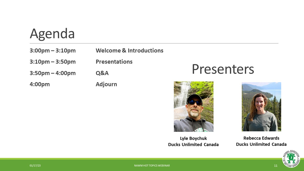
- Lyle Boychuk, Ducks Unlimited Canada [PRESENTATION PDF]
- Rebecca Edwards, Ducks Unlimited Canada [PRESENTATION PDF]
BIOS
 Lyle Boychuk is the Manager of GIS and Inventory Programs; Prairie Region for Ducks Unlimited Canada. Lyle has been working in geomatics for 27 years and is currently in his 23rd year of service with DUC. He manages a team of specialists responsible for building GIS applications in support of conservation programs and managing the delivery Canadian Wetland Inventory (CWI) projects across Prairie Canada. His professional interests include the use of remote sensing to characterize Prairie Wetlands, the application of terrain data for quantifying wetland hydrology; and the use of UAV technology to support conservation program delivery.
 Rebecca (Becky) Edwards is the lead remote sensing specialist for DUC’s National Boreal Program. She completed her MSc in Geography specializing in remote sensing from Queen’s University focusing on vegetation change in the Arctic. Becky has been working with DUC for over 7 years with experience in wetland remote sensing, time series analysis, northern landscapes, and wetland ecology. She has led and supported many large-scale wetland inventory products across the Boreal to support the Canadian Wetland Inventory (CWI) and continues to advance novel wetland classification methodologies.
Please click only once on each video recording to view in this window.
Part 1: Introduction: Ian Grosfelt, National Association of Wetland Managers
Presenter: Rebecca Edwards, Ducks Unlimited Canada
Examples of semi-automation for mapping Cowardin classes and wetland vegetation in Alaska
Held Thursday, April 27, 2023 - 3:00 pm - 4:00 pm Eastern
INTRODUCTION
- Ian Grosfelt, National Association of Wetland Managers [PRESENTATION PDF]
PRESENTER
- Timm Nawrocki, Alaska Center for Conservation Science [PRESENTATION PDF]
ABSTRACT
Wetlands mapped according to the Cowardin Classification have frequently been delineated manually. Despite increasingly available remotely sensed data and access to large amounts of computational resources, automated approaches to mapping wetlands have been limited to ecologically coarse approaches. One challenge to automating the mapping of Cowardin classes is that the Cowardin Classification integrates contextual information that may not be directly represented in remotely sensed data. We have implemented a semi-automated strategy for wetland mapping that retains advantages of automation while enabling a wetland scientist to focus on providing the contextual information necessary to assign Cowardin classes. Additionally, we have implemented automated approaches to mapping wetland vegetation that could be modified by a wetland scientist to arrive at Cowardin classes. Semi-automation has potential to improve consistency, accuracy, and cost-efficiency of mapping Cowardin classes in Alaska and other areas where wetlands occupy large proportions of the landscape.
BIO
 Timm Nawrocki received a B.S. in Biology from the University of Virginia and a M.S. in Biological Sciences from the University of Alaska Anchorage. He specializes in spatial analyses of terrestrial vegetation, soils, and wildlife; remote sensing; and identification of vascular and non-vascular plants. He is fluent in Python, R, SQL, Javascript, geographic information systems (GIS), and web development including a variety of frameworks, platforms, and languages.
Please click only once on each video recording to view in this window.
Part 1: Introduction: Ian Grosfelt, National Association of Wetland Managers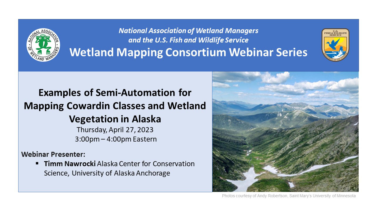
![]()
Presenter: Timm Nawrocki, Alaska Center for Conservation Science, University of Alaska Anchorage![]()
![]()
![]()
![]()
![]()
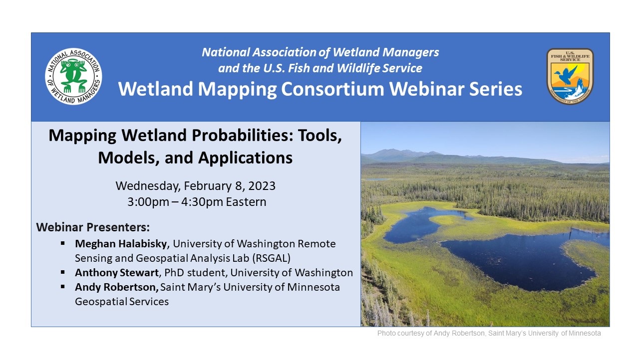
Mapping Wetland Probabilities: Tools, Models, and Applications
Held Wednesday, February 8, 2023 - 3:00 pm - 4:30 pm Eastern
INTRODUCTION
- Ian Grosfelt, National Association of Wetland Managers [PRESENTATION PDF]
PRESENTERS
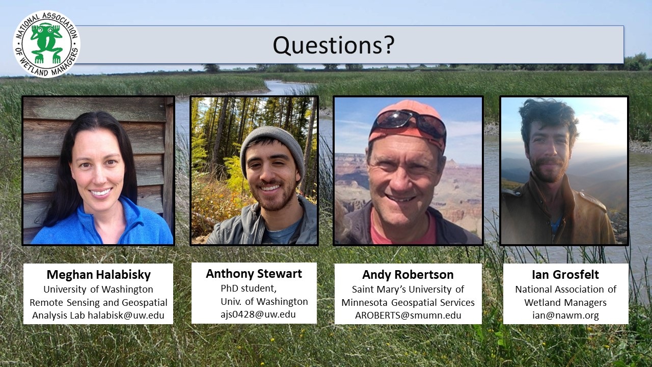
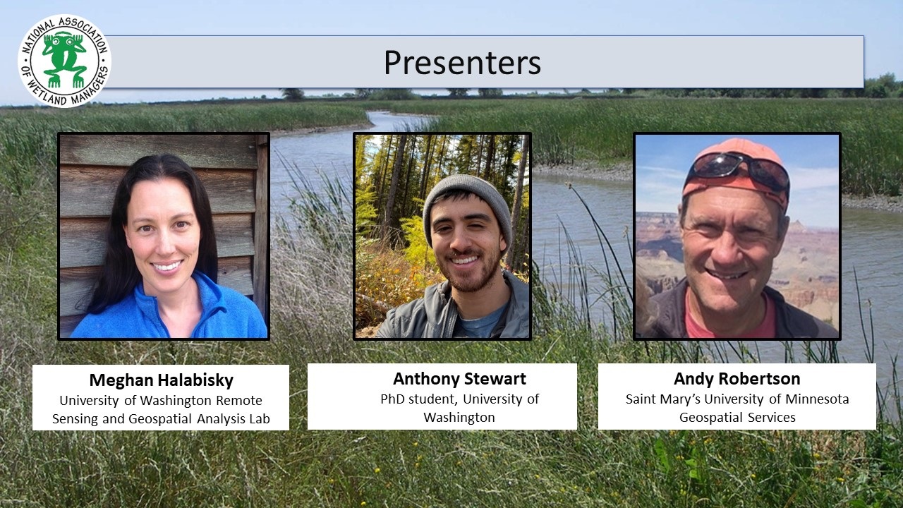
- Meghan Halabisky, University of Washington Remote Sensing and Geospatial Analysis Lab [PRESENTATION PDF]
- Anthony Stewart, PhD Student, University of Washington [PRESENTATION PDF]
- Andy Robertson, GeoSpatial Services at Saint Mary’s University of Minnesota [PRESENTATION PDF]
ABSTRACTS
Meghan Halabisky
Accurate, un-biased wetland inventories are critical to monitor and protect wetlands from future harm or land conversion. However, most wetland inventories are constructed through manual image interpretation or automated classification of multi-band imagery and are biased towards wetlands that are easy to detect directly in aerial and satellite imagery. Wetlands that are obscured by forest canopy, occur ephemerally, and those without visible standing water are, therefore, often missing from wetland maps. To aid in detection of these cryptic wetlands, we developed the Wetland Intrinsic Potential tool, based on a wetland indicator framework commonly used on the ground to detect wetlands through the presence of hydrophytic vegetation, hydrology, and hydric soils. Our tool uses a random forest model with spatially explicit input variables that represent all three wetland indicators, including novel multi-scale topographic indicators that represent the processes that drive wetland formation, to derive a map of wetland probability.
Anthony Stewart
Inland wetlands disproportionately contribute to the soil organic (SOC) carbon pool by storing 20-30% of all SOC despite occupying only 5-8% of the land surface. However, difficulty identifying wetland areas under perennial forest canopy increases uncertainty in estimates of SOC stocks across watershed to regional scales. We used a machine learning approach that utilized aerial lidar-derived hydrologic and topographic metrics to characterize the landscape surface and identify areas of potential wetland formation for three study areas in the Pacific Northwest which represent an east-to-west (low-to-high) precipitation gradient. This approach produces a spatially explicit and continuous model of wetland probability as a range from wetland to upland across a landscape. We then collected soil samples and measured SOC stocks along the wetland-to-upland probability gradient and used the probability along with surficial geology corresponding to geomorphology to model SOC stocks.
Andy Robertson
GeoSpatial Services has been focused on landscape level wetland inventory and functional assessment for over two decades. Throughout that time we have explored a variety of data development and classification tools for creating derived data that supports comprehensive resource monitoring and assessment. This presentation described several modelling efforts based on machine learning algorithms, object analysis, derived elevation surfaces, network analysis and high-resolution optical imagery. These techniques include: potential wetland landscapes, potentially restorable wetlands, derived and hydro modified surface hydrology and cumulative impact assessment based on proximity to oil field development and potential contamination. These tools will be presented in the context of wetland program plan development supported by EPA CWA Section 404 grants.
BIOS
 Meghan Halabisky is a research scientist at the University of Washington Remote Sensing and Geospatial Analysis Lab (RSGAL). Her interests lie in understanding ecosystem dynamics and landscape change through the development and application of high-resolution remote sensing tools. She completed her PhD at the University of Washington, where she worked to characterize the response of wetland ecosystems to historic and future climate by reconstructing surface water hydrographs for thousands of wetlands in Washington State and using a combination of aerial and satellite imagery. Meghan has a background in conservation management, having previously worked as an operations planner for the Oahu Invasive Species Committee. She has a concurrent master’s – MS/MPA from the Evans School of Public Affairs at the University of Washington.
 Anthony Stewart is a PhD student at the University of Washington. He uses remote sensing to map, characterize, and model wetlands and their soil carbon stocks. Particularly, he is interested in small forested wetlands and their role in the greater landscape.
 Andy Robertson is currently Executive Director of GeoSpatial Services at Saint Mary’s University of Minnesota. In this role, Andy is responsible for oversight and management of all GeoSpatial Services projects, activities and staff. GeoSpatial Services is engaged in a wide variety of projects across the Lower 48 and Alaska including: wetland inventory; National Hydrography Dataset updates; spatial data development; and natural resource condition assessments. GeoSpatial Services has been a key partner of the USFWS and has been working for over 18 years to update legacy National Wetland Inventory data across the nation. Andy is a steering committee member for the NAWM Wetland Mapping Consortium, a NAWM Board Member and is past-chair of the Alaska GeoSpatial Council Wetland Technical Working Group.
Please click only once on each video recording to view in this window.
Part 1: Introduction: Ian Grosfelt, National Association of Wetland Managers
Presenter: Meghan Halabisky, University of Washington Remote Sensing and Geospatial Analysis Lab
![]()
View Past Wetland Mapping Consortium Webinars
PDF List of Past Wetland Mapping Consortium Webinar Recordings
View Upcoming Wetland Mapping Consortium Webinars