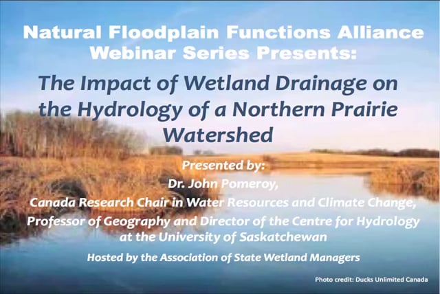
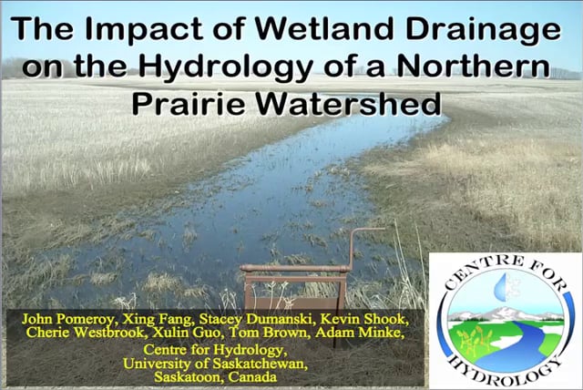
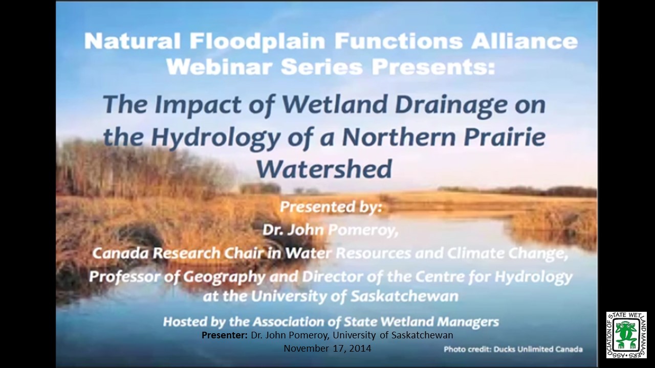
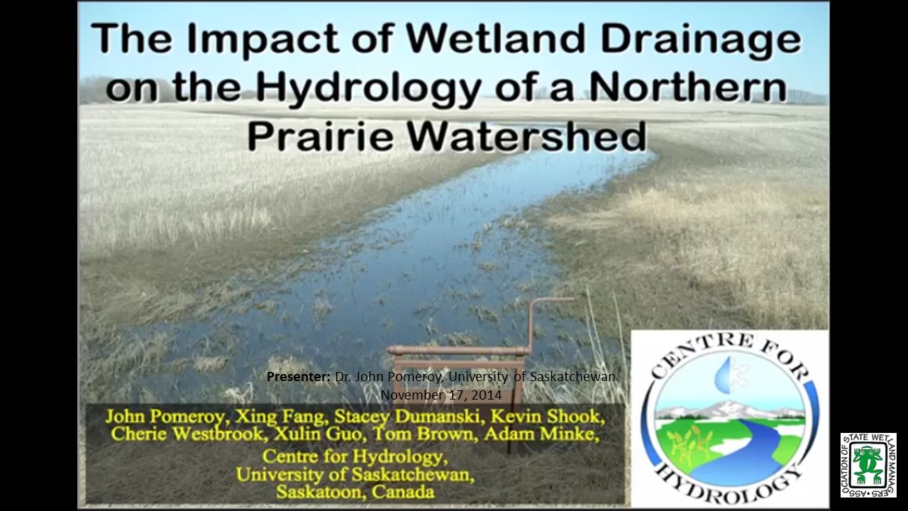
The Impact of Wetland Drainage on the Hydrology of a Northern Prairie Watershed
Monday, November 17, 2014 – 3:00 p.m. EST
INTRODUCTION
- Marla Stelk, ASWM [PRESENTATION-PDF]
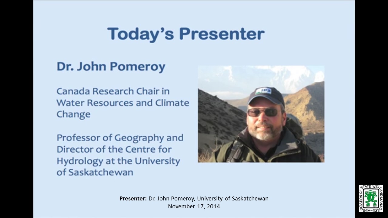
PRESENTER
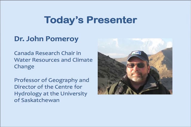
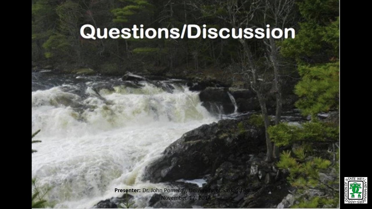
- Dr. John Pomeroy, Centre for Hydrology, University of Saskatchewan
ABSTRACT
The Prairie Hydrological Model simulates blowing snow redistribution, snowmelt, infiltration to frozen soils and the fill and spill of networks of prairie wetlands. The model was used to simulate the hydrology of Smith Creek, Saskatchewan, Canada with various wetland extent scenarios. This model simulation exercise shows that prairie wetland drainage can increase annual and peak daily flows substantially, and that notable increases to estimates of the annual volume and peak daily flow of the flood of record have derived from wetland drainage to date and will proceed with further wetland drainage.
Part 1: Introduction: Marla, Stelk, Policy Analyst, ASWM
Presenter: Dr. John Pomeroy, Centre for Hydrology, University of Saskatchewan
![]()
INTRODUCTION
- Marla Stelk, ASWM [PRESENTATION-PDF]
PRESENTER
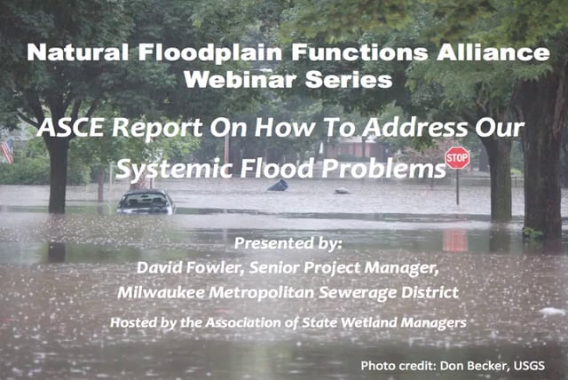
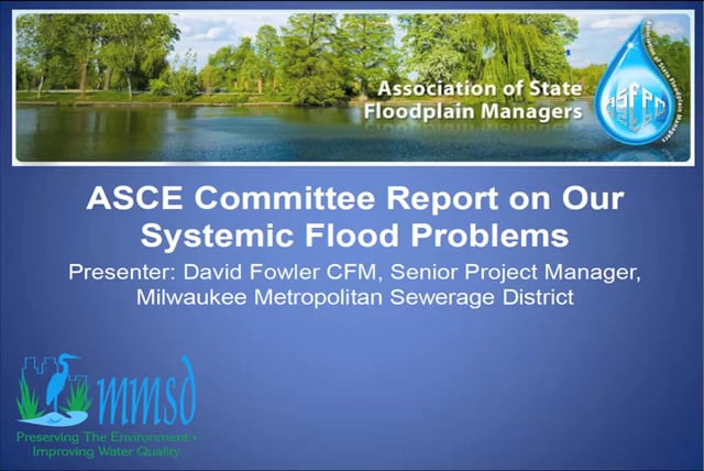
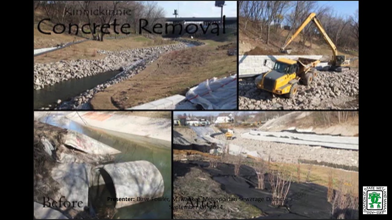
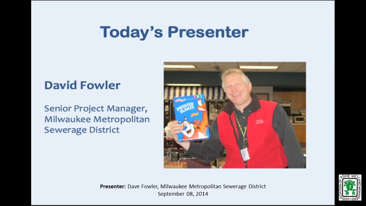
- David Fowler, Senior Project Manager, Milwaukee Metropolitan Sewerage District
ABSTRACT
Six years ago, in the wake of Hurricane Katrina’s devastating impacts on the US Gulf Coast, the Mississippi Floods of 2011, Hurricane Irene, and Super Storm Sandy the American Society of Civil Engineers (ASCE) issued a call for action urging the nation to address the growing challenge of increasing flood losses in the US and the threat to the safety of the population that lies in the potential paths of such events. Similar reports have been issued by both governmental and non-governmental organizations since Katrina and they echoed the ASCE call.
Over the last two years, an ASCE committee examined our national response to this call for action and was charged with writing a final report and make recommendations for approval by the ASCE board. This committee visited many communities and reached out to government and nongovernmental organizations across the country, hosted a national flood risk summit and carefully examined lessons learned in post Katrina floods to include superstorm Sandy. It was clear to the committee that while some progress has been made, in general, the flood challenge continues to receive scant attention and much remains to be accomplished to safeguard the wellbeing of people and property at risk. If the devastating impacts of Super-Storm Sandy and the losses sustained in floods and hurricanes since Katrina were to be used as the measures of progress, the nation has failed to heed the call.
Ignoring the challenge will not cause it to go away. America is a compassionate nation, and we will respond to citizens in crisis. How we act now is the difference between proactively minimizing the impacts of potentially life changing events – building resilience, versus reactively recovering from catastrophic events and failing to heed the lessons we have learned. A failure to act today will have enormous future consequences. The call for action must once again be sounded!
Part 1: Introduction: Marla, Stelk, Policy Analyst, ASWM
Presenter: David Fowler, Senior Project Manager, Milwaukee Metropolitan Sewerage District

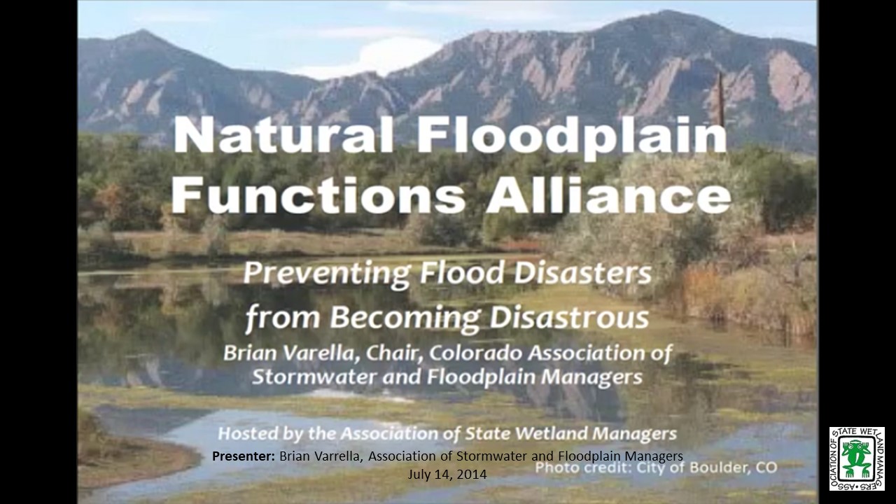
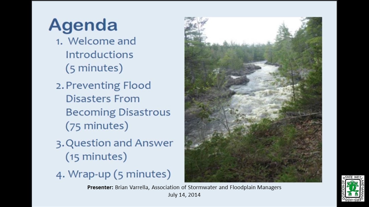
Preventing Flood Disasters from Becoming Disastrous
Monday, July 14, 2014 – 3:00 p.m. EDT

INTRODUCTION
- Marla Stelk, ASWM [PRESENTATION-PDF]
PRESENTER
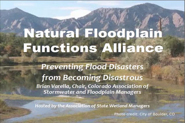
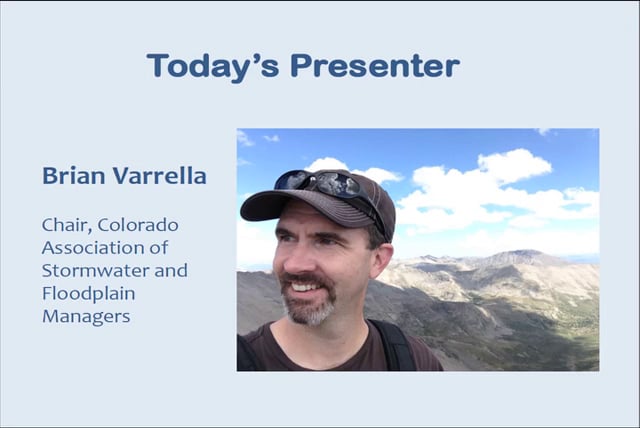
- Brian Varrella, Chair, Colorado Association of Stormwater and Floodplain Managers
ABSTRACT
Colorado experienced epic flooding in September 2013. The floods affected a region of more than 1,500 square miles, much of it in the pristine watersheds at the foot of the Rocky Mountains. It took only 4 days for a quarter of Colorado to be declared a Disaster Area; a declaration that arrived, for some, before the rains even dissipated. The environmental, economic and social devastation from this regional flood event will take years to recover, and as Colorado learns new lessons from old best practices, new policies, new standards, and new philosophic approaches to asset management are being developed.
The 1-hour webinar prepared by the Colorado Association of Stormwater and Floodplain Managers (CASFM.org) will explore the depth and breadth of the Colorado 2013 Disaster experience. Join the Chair of CASFM as he explores the fallacy of freeboard, the benefits of resource buffers, and the hindsight lessons learned from a $3 billion natural disaster.
Part 1: Introduction: Marla, Stelk, Policy Analyst, ASWM
Presenter: Brian Varrella, Chair, Colorado Association of Stormwater and Floodplain Managers
Restoration of the Mississippi Delta in a Post-BP Oil Spill Environment
Monday, May 12, 2014 – 3:00 p.m. EST
![]()
INTRODUCTION
Marla Stelk, ASWM [PRESENTATION-PDF]
PRESENTERS [PRESENTATION-PDF]
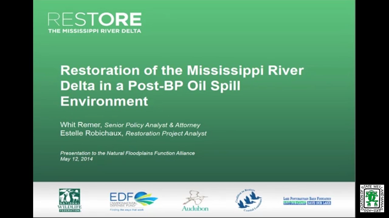
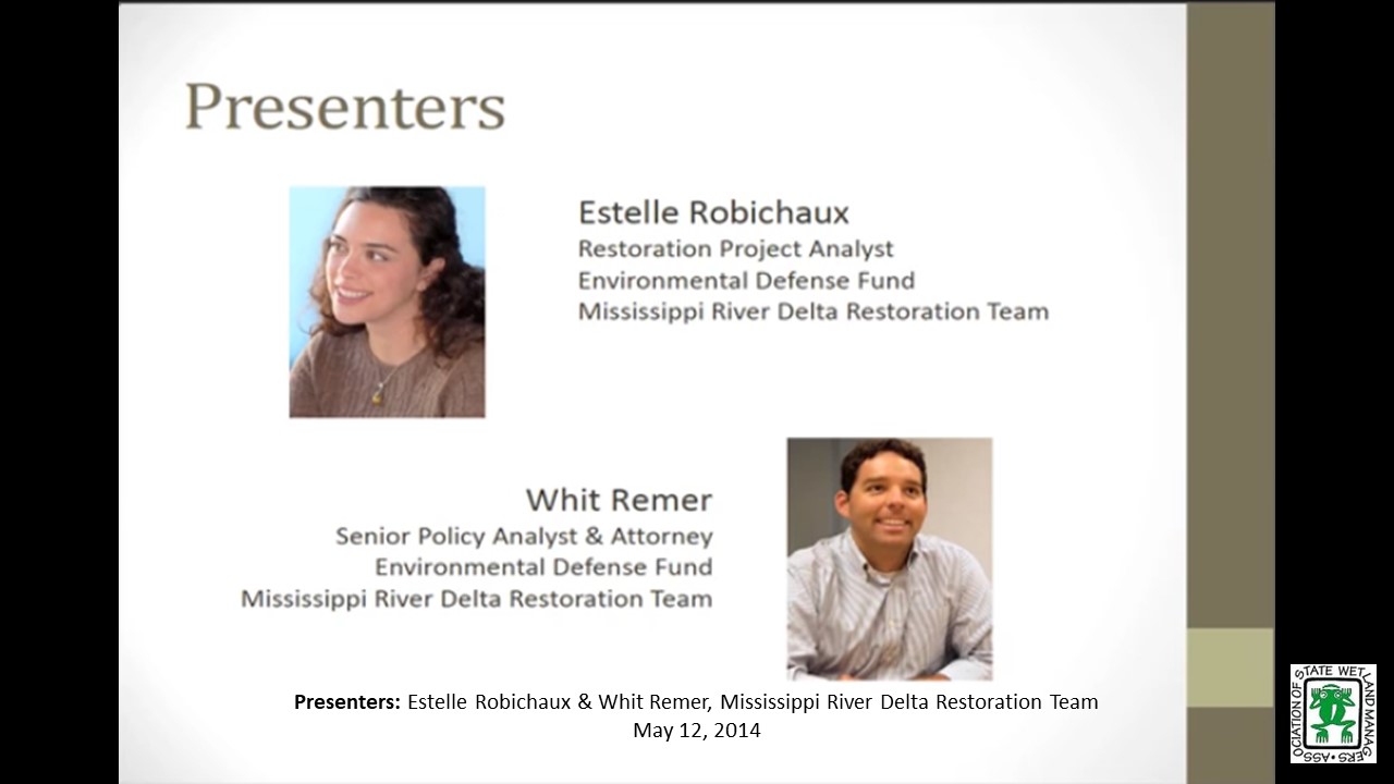
- Estelle Robichaux, Restoration Project Analyst, Mississippi River Delta Restoration Team
- Whit Remer, Senior Policy Analyst & Attorney, Mississippi River Delta Restoration Team
ABSTRACT
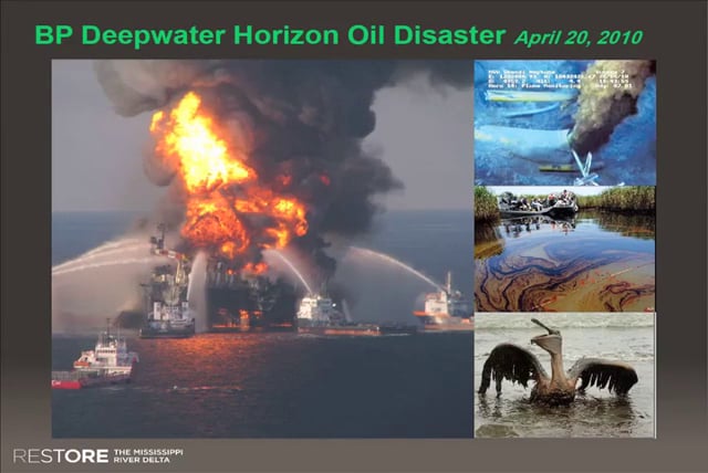
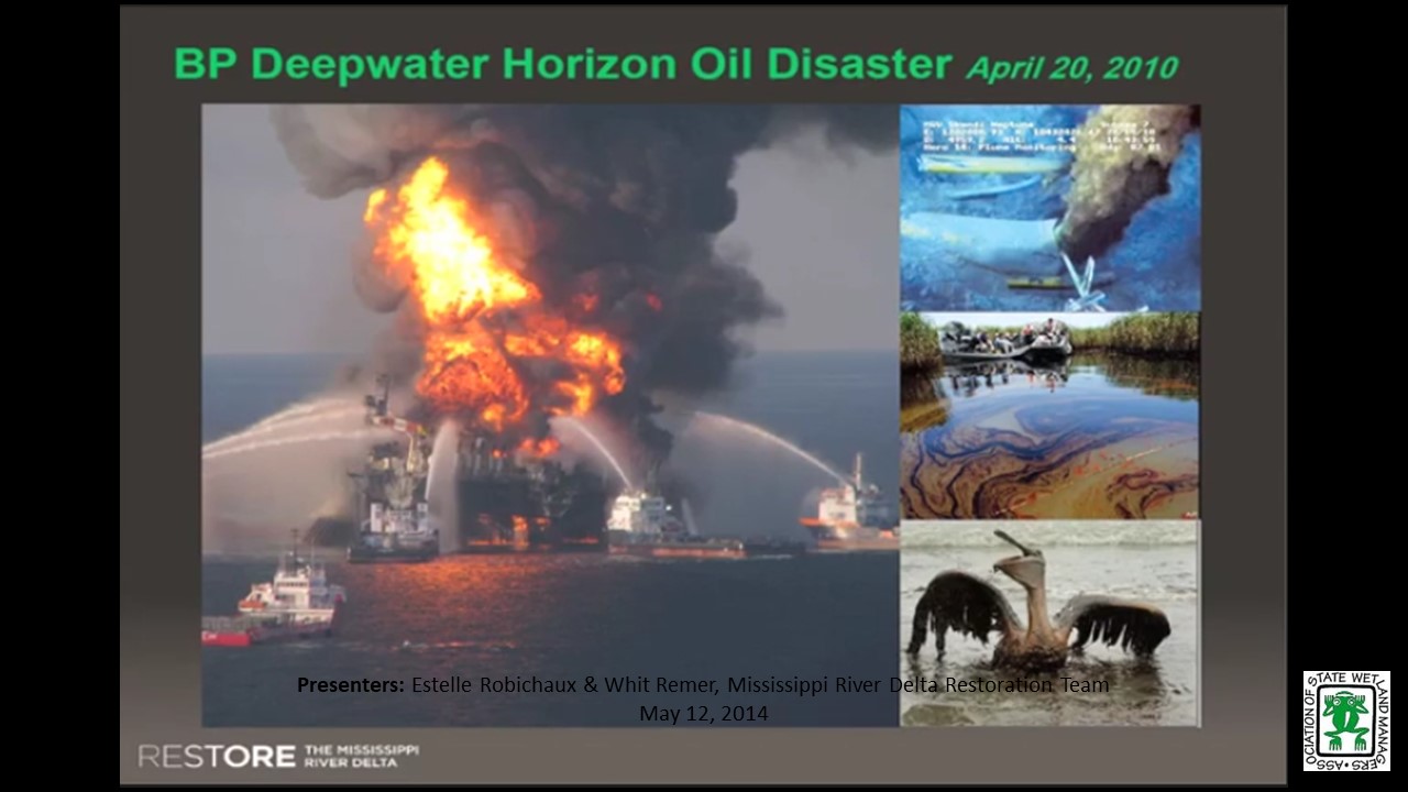
Restoration of coastal Louisiana – particularly of the Mississippi River Delta and its estuaries – has been an issue of local and scientific concern for decades. Louisiana’s coastal wetlands are a first line of defense for coastal and ecological communities, mitigating risk from hurricanes and other disasters. The region garnered national attention after the devastation wreaked by Hurricane Katrina and the Gulf oil disaster, which highlighted longstanding issues of wetland loss and degradation in the area.
When the BP oil spill trial, settlements and assessments are completed, billions of dollars will be directed to the Gulf Coast for restoration. With this promise of initial funding for the large-scale restoration program set out by Louisiana’s Coastal Master Plan (CMP), there is hope that the vital Mississippi River Delta landscape will soon be on the road to recovery. NFFA members will gain insights into the development of the CMP, including the science of sediment diversions to build and sustain wetlands, and sources of funding for restoration implementation.
Part 1: Introduction: Marla, Stelk, Policy Analyst, ASWM
Presenter: Estelle Robichaux, Restoration Project Analyst
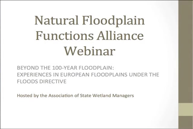
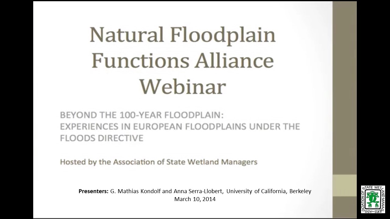
Beyond the 100-year floodplain: Experiences in European floodplains under the Flood Directive
Monday, March 10 – 3:00 p.m. EST
![]()
INTRODUCTION
- Marla Stelk, ASWM [PRESENTATION-PDF]
PRESENTERS
- Anna Serra-Llobet, Visiting Scholar Institute of Urban and Regional Development, University of California, Berkeley
- G. Mathias Kondolf, Professor of Environmental Planning, University of California, Berkeley
ABSTRACT
While the US was ahead of Europe as a whole in floodplain mapping through the 20th century, EU member states have arguably pulled ahead of the US in some significant ways since adoption of the EU Flood Directive in 2007. Among the Directive’s many components, its flood mapping requirements include not only a ‘moderate’ flood (typically Q100), but also larger, infrequent floods, and the ‘natural’ floodplain area that would be flooded in the absence of levees and other structures. Due to Brussels at the end of 2013, as these maps become available they provide examples of alternative approaches to floodplain mapping and risk communication.
Part 1: Introduction: Marla, Stelk, Policy Analyst, ASWM; Presenters: Anna Serra-Llobet, Univ. of California, Berkeley and G. Mathias Kondolf, Univ. of California, Berkeley


![]()
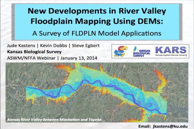
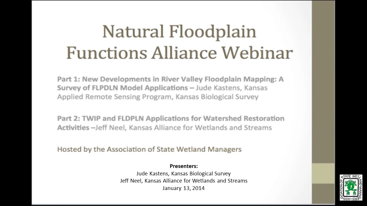
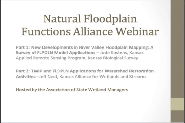
This NFFA webinar included two presentations which focused on FLDPLN Model Applications.
Monday, January 13, 2014 – 3:00 p.m. EST
![]()
INTRODUCTION
- Jeanne Christie, ASWM [PRESENTATION-PDF]
PRESENTERS
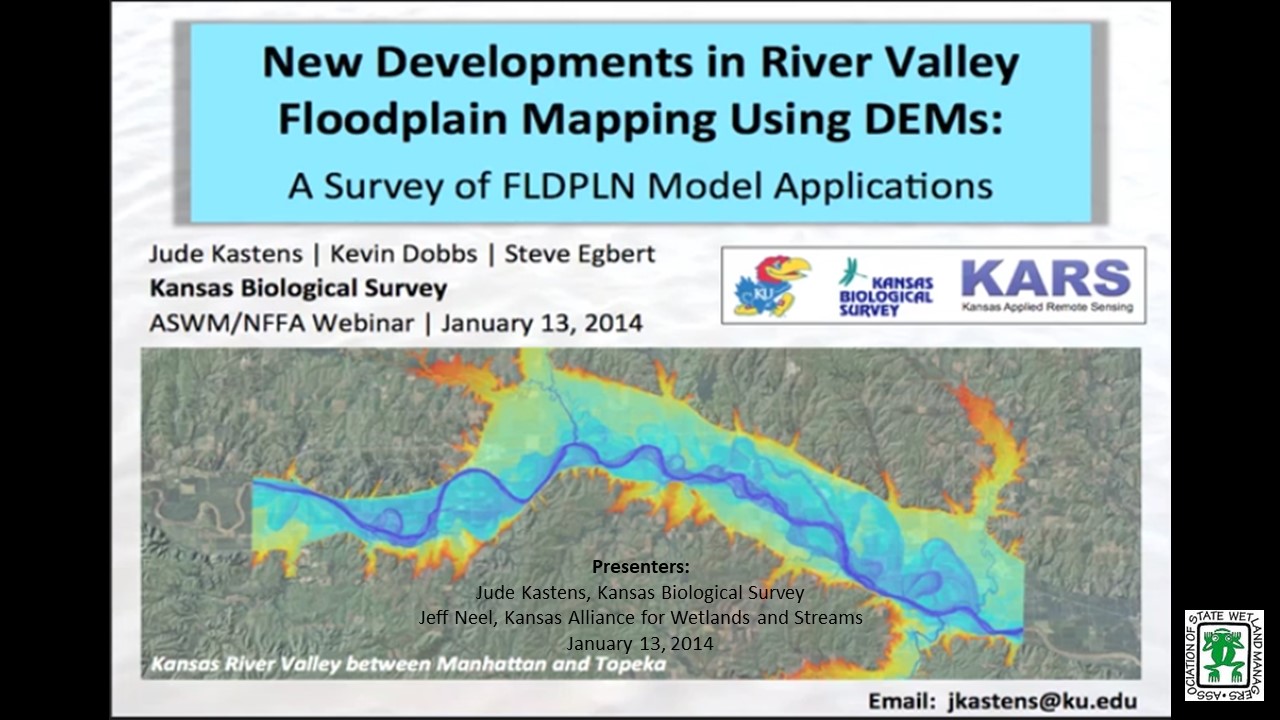
- Jude Kastens, Kansas Applied Remote Sensing Program, Kansas Biological Survey [PRESENTATION-PDF]
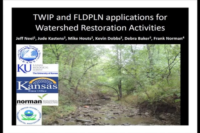
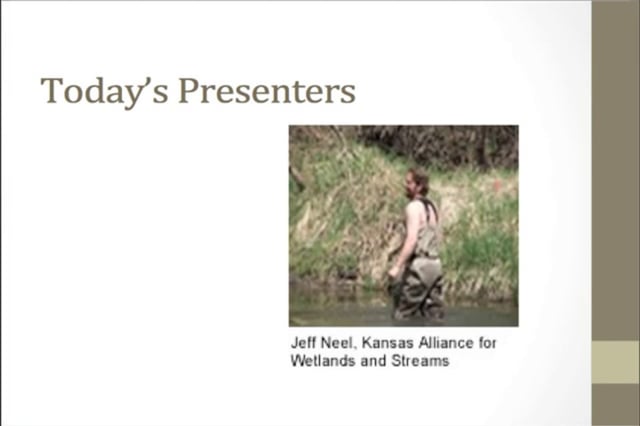
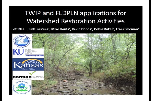
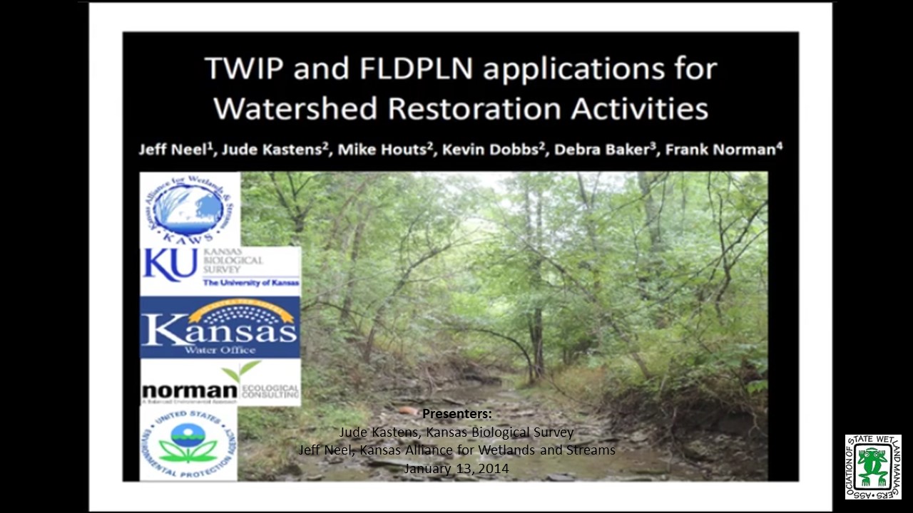
- Jeff Neel, Kansas Alliance for Wetlands and Streams [PRESENTATION-PDF]
Jude Kastens
Part 1: New Developments in River Valley Floodplain Mapping: A Survey of FLDPLN Model Applications
ABSTRACTS
Researchers at the Kansas Biological Survey (KBS) developed a topographic floodplain model (FLDPLN) that has been used to map floodplains for many rivers and stream networks using simple hydrologic flow principles. The stage-dependent inundation library output from FLDPLN can be used for flood extent and depth estimation and hydrologic connectivity indexing. Model outputs have applications for river valley morphology assessment, ecological modeling, and flood disaster response mitigation and damage assessment, and can also facilitate traditional hydraulic studies. We will highlight KBS research on floodplain wetlands and riparian areas and real examples of flood extent estimation, in addition to other applications.
Jeff Neel
Part 2: TWIP and FLDPLN Applications for Watershed Restoration Activities
TWIP and FLDPLN products have excellent potential applications for watershed restoration assessment, design, planning, and implementation activities. TWIP identifies potential and actual wetland locations based on the underlying topography and hydrology. FLDPLN creates stage-dependent floodplain extent libraries useful for examining recurrent connective relationships between floodwaters and floodplain features such as wetlands and riparian areas. Together, these tools may be used to identify opportunities to increase watershed flood storage and infiltration, modulate peak runoff and stream flows, restore stream channels and their floodplain connections, and better understand the state of stream evolutionary processes throughout a watershed.
Part 1a: Introduction: Jeanne Christie, ASWM; Presenter: Jude Kastens, Kansas Applied Remote Sensing Program, Kansas Biological Survey