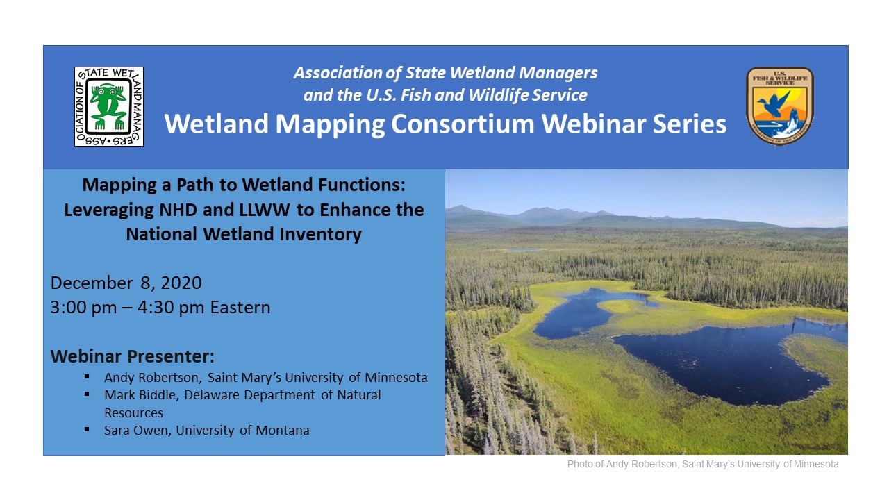
Mapping a Path to Wetland Functions: Leveraging NHD and LLWW to Enhance the National Wetland Inventory
Tuesday, December 8, 2020 - 3:00pm-4:30pm Eastern
INTRODUCTION
William Dooley, Policy Analyst, Association of State Wetland Managers[PRESENTATION PDF]
PRESENTERS
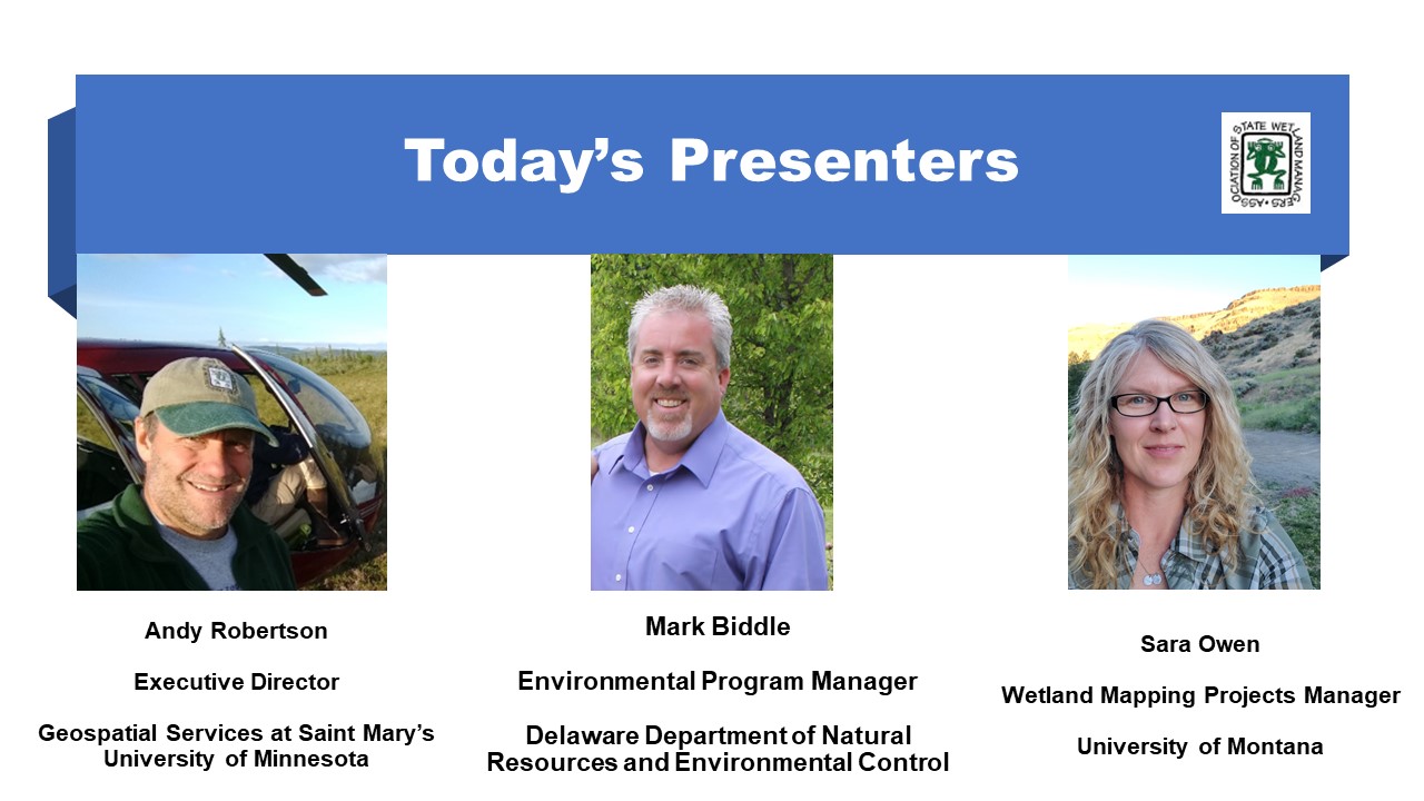
- Andy Robertson, Saint Mary's University of Minnesota [PRESENTATION PDF]
- Mark Biddle, Delaware Department of Natural Resources [PRESENTATION PDF]
- Sara Owen, University of Montana [PRESENTATION PDF]
ABSTRACTS
Andy Robertson
This presentation provided a short overview and application of the LLWW classification for wetland inventory and landscape level functional assessment. It highlighted the academic origins, relationship to NWI, initial application areas and national expansion.
Mark Biddle
The State of Delaware is fortunate to frequently map and track wetland acreage and functional health, and recently completed the 4th iteration of wetland mapping statewide. This spatial data includes both Cowardin, et al. and LLWW classifications and provides the opportunity to assess changes that happened between 2007 and 2017, which will be available in a status and trends report. There are significant differences with this mapping effort which include the use of the National Wetland Inventory Version 2.0 procedure that incorporates the National Hydrography Dataset, and the presentation will discuss results of the mapping effort.
Sara Owen
The foundational classification system for the National Wetlands Inventory (NWI) is the Cowardin classification. This system captures vegetation and water regime characteristics of wetlands that were of particular interest to wildlife managers when the system was developed, but it does not address functions such as water storage or nutrient cycling. LLWW draws on a wetland’s hydrogeomorphic properties, in combination with its Cowardin attribute, to assign potential function. The University of Montana developed an automated model to assign LLWW codes, following the 2018 Western-specific LLWW key. This presentation discussed the model’s processes and outputs and suggests ways it can be used to guide decision making.
BIOS
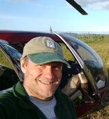 Andy Robertsonis currently Executive Director of GeoSpatial Services at Saint Mary’s University of Minnesota. In this role, Andy is responsible for oversight and management of all GeoSpatial Services projects, activities and staff. GeoSpatial Services is engaged in a wide variety of projects across the Lower 48 and Alaska including: wetland inventory; National Hydrography Dataset updates; spatial data development; and natural resource condition assessments. GeoSpatial Services has been a key partner of the USFWS and has been working for over 18 years to update legacy National Wetland Inventory data across the nation. Andy is a steering committee member for the ASWM Wetland Mapping Consortium, an ASWM Board Member and is past-chair of the Alaska GeoSpatial Council Wetland Technical Working Group.
 Mark Biddle is an Environmental Program Manager with the Delaware Department of Natural Resources and Environmental Control, and is a certified Professional Wetland Scientist. Mark has 30 years of wetland work involving restoration and creation, monitoring and assessment, mitigation, permitting, comprehensive watershed planning, use of best management practices to address environmental impairments, and has conducted multiple wetland mapping efforts. Mark also serves as Board Chair for ASWM.
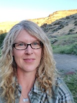 Sara Owen began her wetland career as a teenage field assistant helping her dad delineate wetlands in the swamps of southern Arkansas, where she immediately fell in love with field ecology. In college and graduate school she took a slight detour from wetlands to study stream ecology, but found her way back to wetlands first as a private consultant, then as a field ecologist and wetland mapper at the University of Montana, where she has been since 2011. Sara is currently the Wetland Mapping Projects Manager for the Ecological Mapping, Monitoring and Assessment workgroup at the University of Montana’s O’Connor Center for the Rocky Mountain West where she oversees NWI mapping projects across the West. When time allows, she still gets to play field ecologist, botanist, or dirt digger in a variety of ecosystems, including streams, wetlands, and occasionally, rangelands. Sara enjoys being outdoors and spends as much time as she can outside for work and play, where the lines sometimes blur. She published her first book this past summer (a direct product of that detour back in college), an educational children’s adventure showcasing the hidden lives of aquatic macroinvertebrates entitled Seth and Mattie’s Big River Adventure.
Part 1: Introduction: William Dooley, Policy Analyst,Association of State Wetland Managers
Presenter: Andy Robertson, Saint Mary's University of Minnesota
![]()
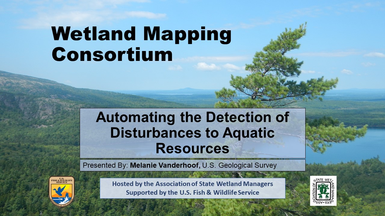
Automating the Detection of Disturbances to Aquatic Resources
Held Wednesday, October 7, 2020 - 3:00pm-4:00pm Eastern
INTRODUCTION
William Dooley, Policy Analyst, Association of State Wetland Managers [PRESENTATION PDF]
PRESENTER
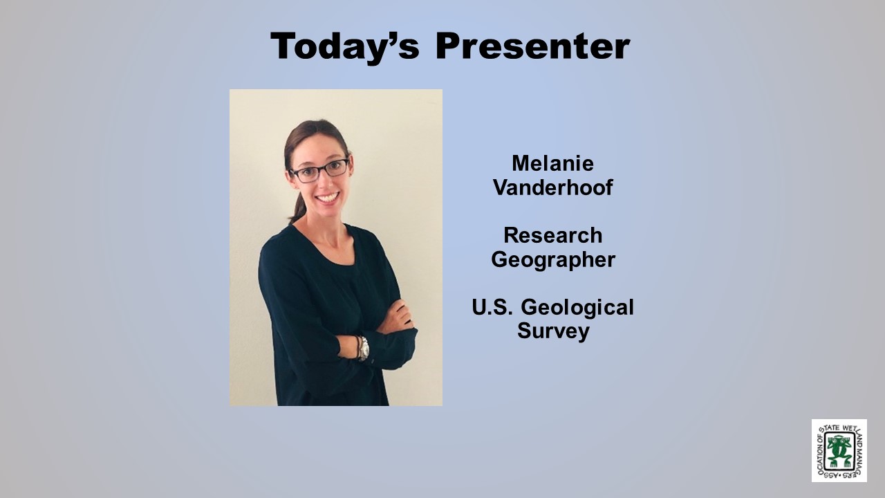
- Melanie Vanderhoof, U.S. Geological Survey, Geoscience and Environmental Change Science Center [PRESENTATION PDF]
ABSTRACT
We presented an unsupervised automated approach to map disturbance and surface inundation extent across the Mid-Atlantic Region using the Landsat archive in Google Earth Engine. This approach can be used to identify aquatic resources potentially impacted by changes in land use. The presentation built upon the preliminary results presented in the August 2019 Wetland Mapping Consortium webinar. The focus of this presentation, instead, however, was on our published products and code. The code will enable users to test out the algorithms in the area of their choice, without needing to generate independent training data.
BIO
 Melanie Vanderhoof is a Research Geographer with the U.S. Geological Survey, Geoscience and Environmental Change Science Center in Denver, Colorado. Melanie has a background in environmental regulations having previously worked as a biologist in the consulting industry prior to returning to graduate school. She received her PhD in Geography from Clark University in 2014. Following an ORISE post-doc with the U.S. EPA, Office of Research and Development, she joined the U.S. Geological Survey in 2015. Her research uses satellite imagery to explore how ecosystems respond to disturbance events and climate extremes. In recent years her research has focused on both wetland and river system dynamics as well as patterns in post-fire condition and regeneration. She is particularly interested in efforts to distinguish changes induced by climate anomalies from land use-related change.
Part 1: Introduction: William Dooley, Policy Analyst,Association of State Wetland Managers
Presenter: Melanie Vanderhoof, U.S. Geological Survey, Geoscience and Environmental Change Science
![]()
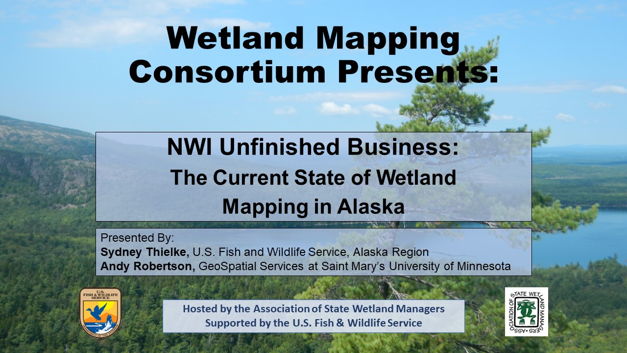
NWI Unfinished Business: The Current State of Wetland Mapping in Alaska
Held Wednesday, February 12, 2020 - 3:00pm-4:30pm Eastern
INTRODUCTION
William Dooley, Policy Analyst, Association of State Wetland Managers [PRESENTATION PDF]
PRESENTERS
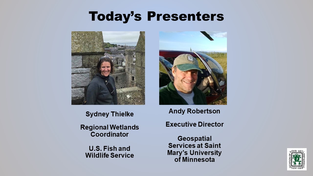
- Sydney Thielke, Regional Wetlands Coordinator, U.S. Fish and Wildlife Service, Alaska Region [PRESENTATION PDF]
- Andy Robertson, Director, GeoSpatial Services, Saint Mary's University of Minnesota [PRESENTATION PDF]
ABSTRACT
Alaska is one-fifth the size of the entire United States and is the only state with land area north of the Arctic Circle. Approximately 65% of the nation's wetlands are located in the Alaska covering 174 million acres, or 43%, of the State's surface area. Despite its resource potential and global position, Alaska has the most limited wetland geospatial data coverage of all states in the nation. Accurate, detailed geospatial information that meets national standards is lacking for more than half of the state, adding costs to responsible development, permitting and resource conservation decisions, delaying or preventing adequate response to natural disasters and emergencies, and preventing effective measurement and monitoring of ecological processes.
The US Fish and Wildlife Service through the National Wetland Inventory Program (NWI) has the lead Federal role for developing a statewide wetland spatial database for Alaska. NWI staff have been working closely with the Alaska GeoSpatial Council Wetlands Technical Working Group to develop a strategy for completion of a statewide wetland spatial database that is compliant with national mapping standards. The first part of this presentation summarized efforts to date, detailed the partnership strategy and discussed funding opportunities and mapping standards. In the second part of the presentation, technical details of on-going wetland mapping in Alaska were summarized and new/emerging technologies and image sources were discussed. The presentations was supported by examples and graphics from current projects across the state.
Tune in to learn more about how we are addressing NWI Unfinished Business through creative collaboration, interagency partnerships, cooperative funding approaches and new technologies.
BIOS
 Sydney Thielke is the Regional Wetlands Coordinator for the U.S. Fish and Wildlife Service in Anchorage, Alaska. Sydney grew up in Alaska and has a B.S. in Land Resources Analysis and Management from Montana State University and a M.S. in Applied Geographic Information Sciences from Northern Arizona University. Before coming to U.S. FWS Sydney worked for the Bureau of Land Management and Natural Resources Conservation Service on a variety in a variety of resource management and geographic information capacities.Andy Robertson is currently Executive Director of GeoSpatial Services at Saint Mary’s University of Minnesota. In this role, Andy is responsible for oversight and management of all GeoSpatial Services projects, activities and staff. GeoSpatial Services is engaged in a wide variety of projects across the Lower 48 and Alaska including: wetland inventory; National Hydrography Dataset updates; spatial data development; and natural resource condition assessments. GeoSpatial Services has been a key partner of the USFWS and has been working for over 18 years to update legacy National Wetland Inventory data across the nation. Andy is a steering committee member for the ASWM Wetland Mapping Consortium, an ASWM Board Member and is past-chair of the Alaska GeoSpatial Council Wetland Technical Working Group.
Please click only once on each video recording to view in this window.
Part 1: Introduction: William Dooley, Policy Analyst, Association of State Wetland Managers
Presenter: Sydney Thielke, Regional Wetlands Coordinator, U.S. Fish and Wildlife Service, Alaska Region
![]()
View Past Wetland Mapping Consortium Webinars
PDF List of Past Wetland Mapping Consortium Webinar Recordings
View Upcoming Wetland Mapping Consortium Webinars