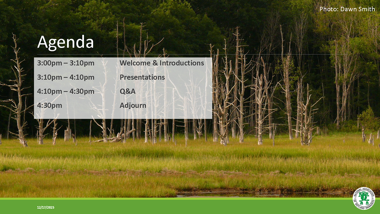
New Tools for Efficient and Effective Desktop Wetland Delineation in the Chesapeake Bay Watershed
Held Wednesday, December 17, 2025 - 3:00 p.m.-4:30 p.m. EST
INTRODUCTION
- Ian Grosfelt, National Association of Wetland Managers [Presentation - PDF]
PRESENTERS
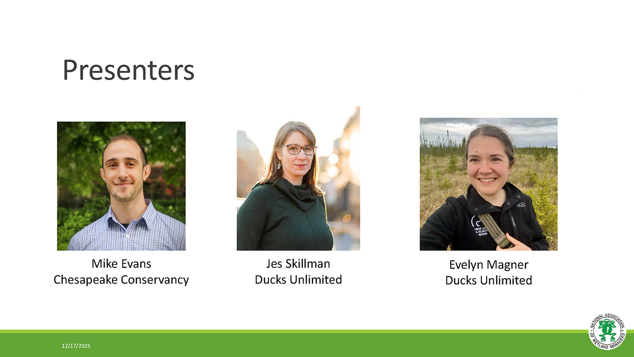
- Mike Evans, Chesapeake Conservancy [Presentation - PDF]
- Jes Skillman, Ducks Unlimited, Great Lakes/Atlantic Region [Presentation- PDF]
- Evelyn Magner, Ducks Unlimited [Presentation- PDF]
BIOS
Michael Evans is Deputy Director with the Conservation Innovation Center and leads research that improves conservation policy, decision-making, and implementation. He is responsible for developing the Chesapeake Conservancy's use of data science and technology, including the application of deep learning and remote sensing data to better understand land-use dynamics. He earned a Ph.D. in natural resource management from the University of Connecticut where his research helped state agencies understand how the space use and movements of black bears change across gradients of human landscape modification.
 Jes Skillman has over 12 years' experience in Conservation GIS at Ducks Unlimited. She currently manages and coordinates the Geospatial Department of Duck’s Unlimited’s Great Lakes / Atlantic office. In this role, Ms. Skillman works closely with partners, the DU Conservation Team, and the DU GIS team to develop baseline data, priority area mapping tools, and web applications that align with conservation goals. Ms. Skillman has a BA in Ecology from the University of Toronto and a Masters in Conservation Biology from the University of Michigan.
 Evelyn Magner has experience as a GIS professional in conservation non-profits, including 4 years of National Wetland Inventory mapping. Prior to joining Ducks Unlimited, Evelyn worked with various nonprofits, supporting their conservation efforts with the creation of maps and web applications for communication and planning purposes. She holds a Bachelor of Arts in environmental studies and geography and a Master of Science in applied ecology.
Please click only once on each video recording to view in this window.
Part 1: Introduction: Ian Grosfelt, National Association of Wetland Managers; Presenter: Mike Evans, Chesapeake Conservancy

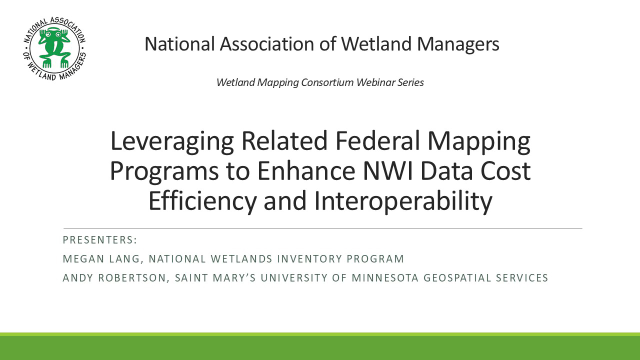
Leveraging Related Federal Mapping Programs to Enhance NWI Data Cost Efficiency and Interoperability
Held Wednesday, September 10, 2025 - 3:00 p.m.-4:00 p.m. EDT
INTRODUCTION
- Ian Grosfelt, National Association of Wetland Managers [Presentation - PDF]
PRESENTERS
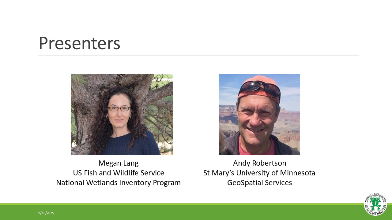
- Megan Lang, U.S. Fish and Wildlife Service National Wetlands Inventory
- Andy Robertson, St. Mary's University of Minnesota Geospatial Services [Presentation - PDF]
BIOS
 Megan Lang is Chief Scientist for the U.S. Fish and Wildlife Service National Wetlands Inventory Program and Project Lead for the Wetlands Status and Trends study. She is an Adjunct Professor at the University of Maryland Department of Geographical Sciences and serves as an Associate Editor for the journal Wetlands. Dr. Lang has been working to improve the assessment of aquatic ecosystems through field and remote sensing studies for over two decades. Before working for the U.S. Fish and Wildlife Service, she led the U.S. Department of Agricultural Mid-Atlantic Regional Wetland Conservation Effects Assessment Project.
 Andy Robertson is currently Executive Director of GeoSpatial Services at Saint Mary’s University of Minnesota. In this role, Andy is responsible for oversight and management of all GeoSpatial Services projects, activities and staff. GeoSpatial Services is engaged in a wide variety of projects across the Lower 48 and Alaska including: wetland inventory; National Hydrography Dataset updates; spatial data development; and natural resource condition assessments. GeoSpatial Services has been a key partner of the USFWS and has been working for over 18 years to update legacy National Wetland Inventory data across the nation. Andy is a steering committee member for the NAWM Wetland Mapping Consortium, a NAWM Board Member and is past-chair of the Alaska GeoSpatial Council Wetland Technical Working Group.
Part 1: Introduction: Ian Grosfelt, National Association of Wetland Managers; Presenters: Megan Lang, U.S. Fish and Wildlife Service National Wetlands Inventory and Andy Robertson, St. Mary's University of Minnesota Geospatial Services


![]()
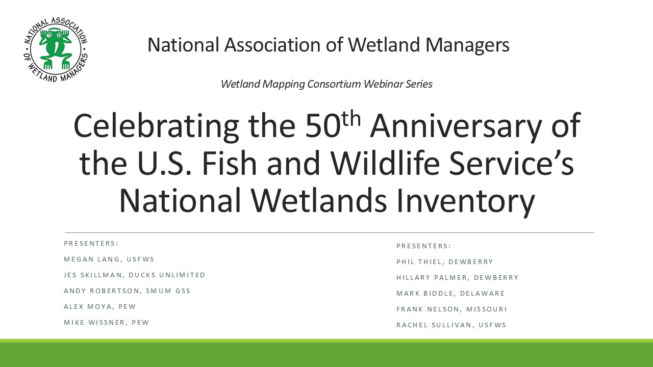
Celebrating the 50th Anniversary of the U.S. Fish and Wildlife Service’s National Wetlands Inventory
Held Tuesday, June 24, 2025 - 3:00 p.m.-4:30 p.m. EDT
In this webinar, they reflected on the past and future of the NWI Program as they heard from data users across the nation. Presenters highlighted the importance of wetlands geospatial data in supporting sound decision-making, from guiding species conservation to enabling strategic development. The audience was welcome to share their own stories. They celebrated the 50th anniversary of the U.S. Fish and Wildlife Service’s National Wetlands Inventory!
INTRODUCTION
- Ian Grosfelt, National Association of Wetland Managers [Presentation - PDF]
PRESENTERS
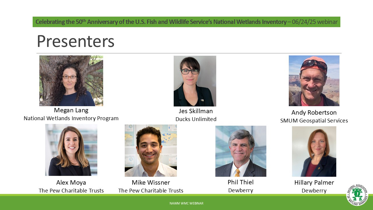
- Megan Lang, U.S. Fish and Wildlife Service [Presentation - PDF]
- Jes Skillman, Ducks Unlimited [Presentation - PDF]
- Andy Robertson, St. Mary's University of Minnesota Geospatial Services [Presentation - PDF]
- Alex Moya, The Pew Charitable Trusts [Presentation - PDF]
- Mike Wissner, The Pew Charitable Trusts
- Phil Thiel, Dewberry [Presentation - PDF]
- Hillary Palmer, Dewberry
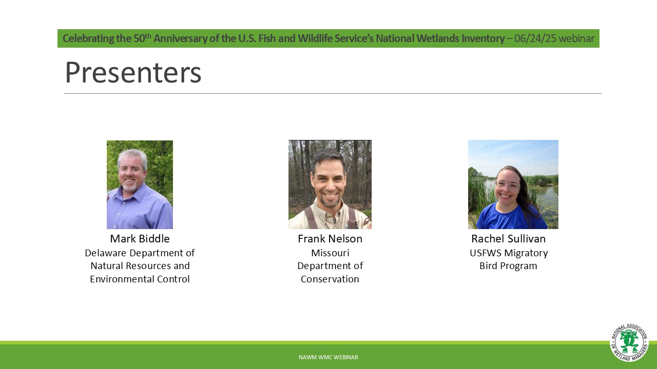
- Mark Biddle, Delaware Department of Natural Resources and Environmental Control [Presentation - PDF]
- Frank Nelson, Missouri Department of Conservation [Presentation - PDF]
- Rachel Sullivan, U.S. Fish and Wildlife Service [Presentation - PDF]
Please click only once on each video recording to view in this window.
Part 1: Introduction: Ian Grosfelt, National Association of Wetland Managers; Presenter: Megan Lang, National Wetlands Inventory Program
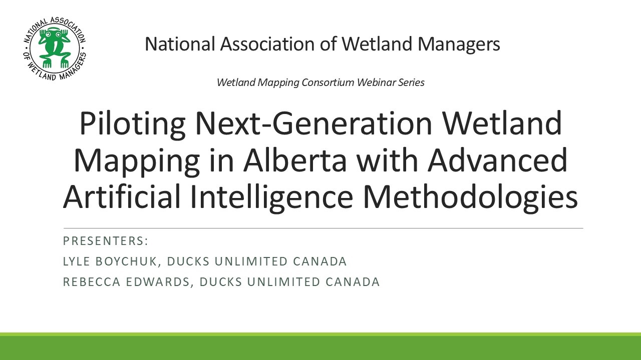
Piloting Next-Generation Wetland Mapping in Alberta with Advanced Artificial Intelligence Methodologies
Held Wednesday, May 7, 2025 - 3:00 p.m.-4:30 p.m. EDT
INTRODUCTION [Presentation - PDF]
Ian Grosfelt, National Association of Wetland Managers
PRESENTERS [Presentation - PDF]
- Lyle Boychuk, Ducks Unlimited Canada
- Rebecca Edwards, Ducks Unlimited Canada
ABSTRACT
This presentation provided an overview of a collaborative project, delivered by the Government of Alberta, Ducks Unlimited Canada, and the Alberta Biodiversity Monitoring Institute, aimed at piloting and refining state-of-the-art wetland mapping methodologies specific to Alberta’s boreal, parkland, and grassland region. Wetlands across Alberta, which act as nature’s water filters, biodiversity hot spots and carbon storehouses, are facing significant changes due to climate change and human disturbance, therefore, spatial inventorying of wetlands is critical and required to support legislation and policy development surrounding the management and monitoring of these sensitive ecosystems.
In 2014, the Government of Alberta (GOA) released a provincial wetland inventory, the Alberta Merged Wetland Inventory (AMWI). However, the AMWI is derived from various image sources, across a range of dates, while using different methodologies, resulting in variations in quality and accuracy. In 2020, the Government of Alberta published standards for addressing wetland inventory updates across the province, including requirements for minimum mapping units, classification accuracy, and classification detail; thus, an updated wetland inventory is imperative to ensuring a consistent and accurate wetland inventory covering Alberta. Recent advancements in remote sensing methods and Earth observation data present encouraging avenues for meeting these standards. In response to this, the project team developed, advanced, and evaluated several methodologies across four pilot areas targeted at achieving the provincial benchmarks. These methodologies leveraged multiple artificial intelligence (AI) technologies (e.g., machine and deep learning), Earth observation datasets, recent airborne LiDAR acquisitions, and airborne and field verified wetland surveys. The resulting inventories successfully tested and advanced AI methodology. Three of the pilot areas (excluding parkland) met the provincial mapping standards (greater than 70% accuracy) at various thematic levels, ranging from general wetland detection to wetland class and form. Machine learning outperformed deep learning in the form classification due to its ability to classify minority classes where, with more training data, deep learning will continue to get more accurate results. Lastly, LiDAR was critical for identifying isolated depressions in the Prairies and had significant impact at the form level in the Boreal. These pilot inventories offer crucial insights into scaling these methods to a provincial level and provide valuable guidance for advancing wetland mapping and monitoring efforts across Alberta.
BIOS
 Lyle Boychuk is the Manager of GIS and Inventory Programs; Prairie Region for Ducks Unlimited Canada Lyle has been working in geomatics for 27 years and is currently in his 23rd year of service with DUC. He manages a team of specialists responsible for building GIS applications in support of conservation programs and managing the delivery Canadian Wetland Inventory (CWI) projects across Prairie Canada. His professional interests include the use of remote sensing to characterize Prairie Wetlands, the application of terrain data for quantifying wetland hydrology; and the use of UAV technology to support conservation program delivery.
 Rebecca (Becky) Edwards is the lead remote sensing specialist for DUC’s National Boreal Program. She completed her MSc in Geography specializing in remote sensing from Queen’s University focusing on vegetation change in the Arctic. Becky has been working with DUC for over 7 years with experience in wetland remote sensing, time series analysis, northern landscapes, and wetland ecology. She has led and supported many large-scale wetland inventory products across the Boreal to support the Canadian Wetland Inventory (CWI) and continues to advance novel wetland classification methodologies.
Please click only once on each video recording to view in this window.
Part 1: Introduction: Ian Grosfelt, National Association of Wetland Managers; Presenters: Lyle Boychuk, Ducks Unlimited Canada and Rebecca Edwards, Ducks unlimited Canada
View Past Wetland Mapping Consortium Webinars
PDF List of Past Wetland Mapping Consortium Webinar Recordings
View Upcoming Wetland Mapping Consortium Webinars