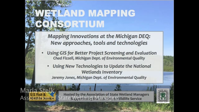
Mapping Innovations at the Michigan DEQ: New approaches, tools and technologies
Held Wednesday, December 6, 2017 - 3:00 p.m. Eastern
INTRODUCTION
- Marla Stelk, Policy Analyst, Association of State Wetland Managers [PRESENTATION PDF]
PRESENTERS
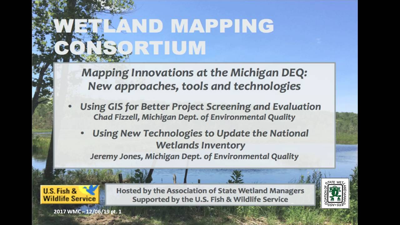
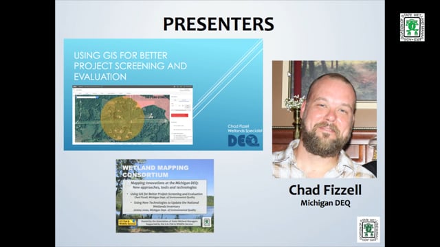
- Chad Fizzell, Michigan Department of Environmental Quality [PRESENTATION PDF]
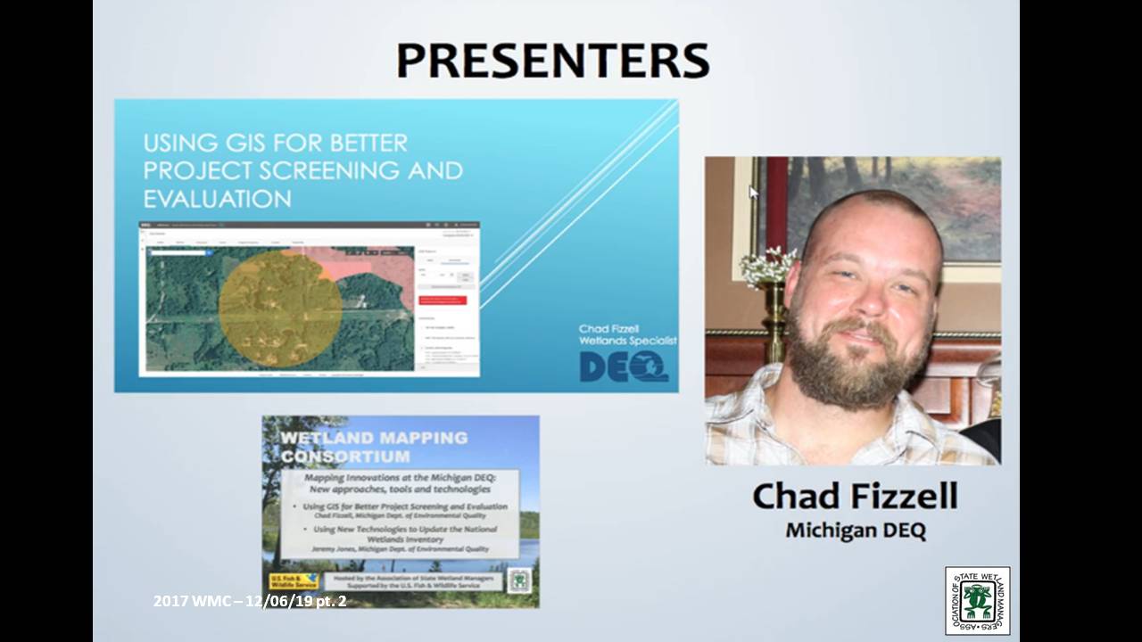
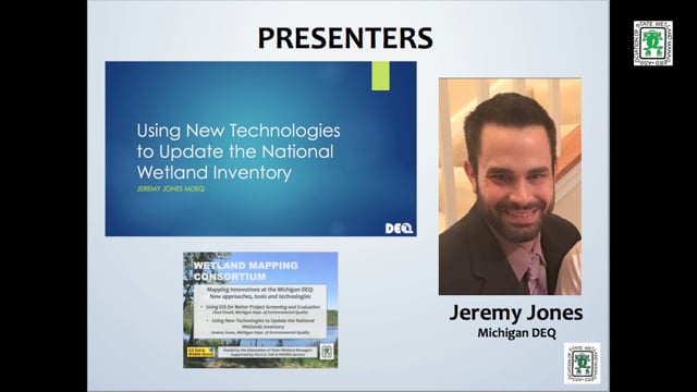
- Jeremy Jones, Michigan Department of Environmental Quality [PRESENTATION PDF]
ABSTRACTS
Chad Fizzell
Using GIS for Better Project Screening and Evaluation
With the release of MiWaters, Water Resources Division staff from the MDEQ are now relying on a GIS based screening tool to ensure coordination with all relevant state and federal partners and programs. This talk addressed the methodology, GIS layers utilized, and overall approach to screening projects spatially, introduced as part of the MIWaters rollout.
Jeremy Jones
Using New Technologies to Update the National Wetland Inventory
This portion of the webinar focused on the pilot project completed in conjunction with Ducks Unlimited. This pilot project utilized a semi-automated, object-based image analysis and segmentation process combined with head-up digitization and photo interpretation to produce an updated National Wetlands Inventory (NWI) for Kent and Washtenaw Counties in Michigan. This process utilizes high resolution 4-band imagery, high resolution lidar, and other ancillary datasets to create the new polygon areas.
BIOS
 Chad Fizzell works as a GIS Specialist in the Wetlands, Lakes, and Streams Unit within the Michigan Department of Environmental Quality. Chad has a degree in Environmental Science from Michigan State University, where he specialized in Spatial Information Processing. Chad has worked in the Wetlands program for 15 years and is the Department expert in the Landscape Level Assessment of Wetlands, Wetland Inventory, and Remote Sensing. Chad was also the lead in developing and adapting the NWI+ methodology and Landscape Level Wetland Functional Assessment process in Michigan and applying these concepts to watershed management in the State.
 Jeremy Jones has worked with geospatial technologies since 2006 and holds a Master’s Degree from Eastern Michigan University in Geographic Information Systems. As an employee for the Michigan Department of Environmental Quality Jeremy works on various projects including Enhanced NWI, coastal zone projects, enforcement cases, conservation easements and various aerial photo interpretation requests. Jeremy has worked with the National Wetland Inventory Data for over 10 years and is excited to share the improvements made to the data using the improved technologies available today.
Please click only once on each video recording to view in this window.
Part 1: Introduction: Marl Stelk, Policy Analyst, Association of State Wetland Managers![]()
![]()
![]()
![]()
![]()
![]()
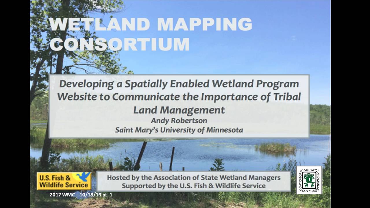
Developing a Spatially Enabled Wetland Program Website to Communicate the Importance of Tribal Land Management
Held Wednesday, October 18, 2017 - 3:00 p.m. Eastern
INTRODUCTION
- Marla Stelk, Policy Analyst, Association of State Wetland Managers[PRESENTATION PDF]
PRESENTER
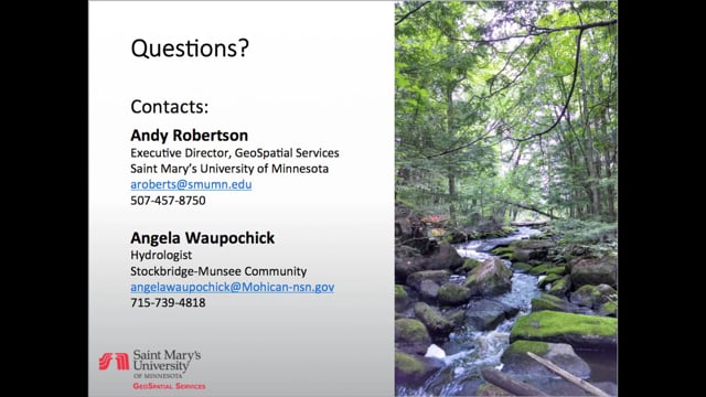
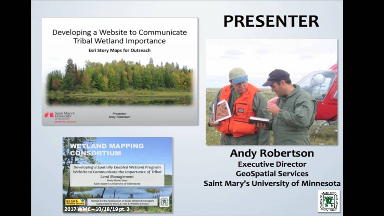
- Andy Robertson, Executive Director, GeoSpatial Services, Saint Mary's University of Minnesota [PRESENTATION PDF]
ABSTRACT
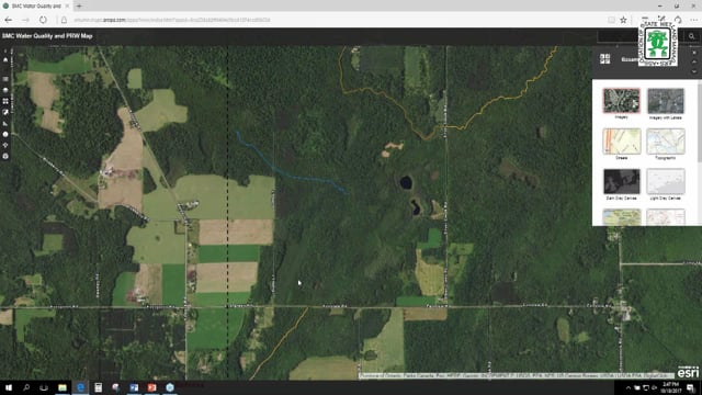
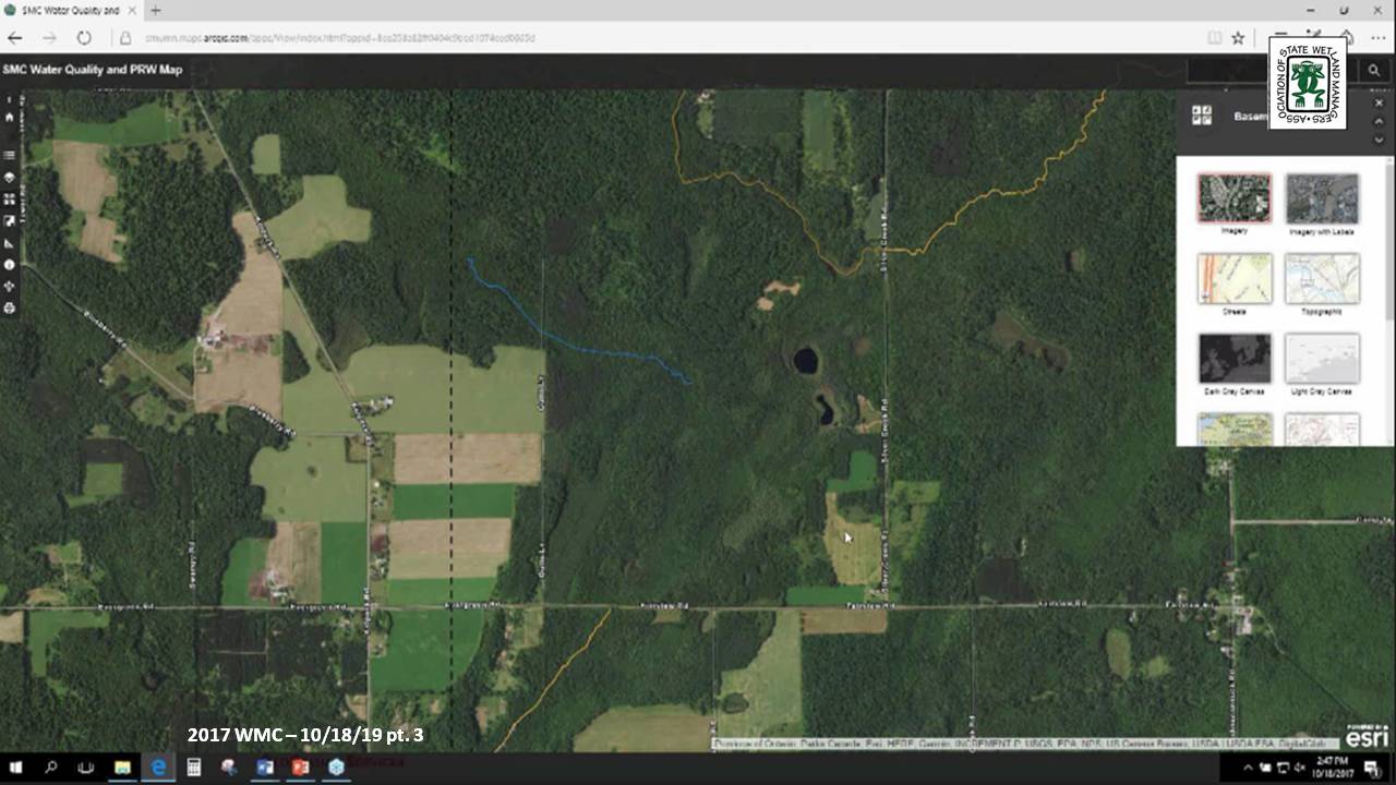
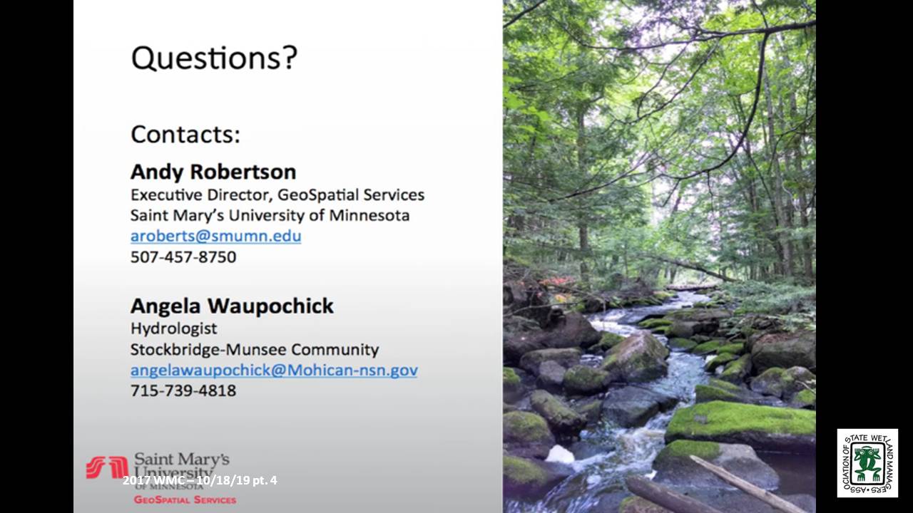
The Stockbridge-Munsee Mohican Community in Wisconsin is in the process of creating a web presence to share wetland program accomplishments and allow stakeholders and the public access to local wetland GIS data. A website with interactive map functions is being developed to communicate the wetland program’s goals, progress, and demonstration projects and provide interactive use and visualization of wetland and summary water quality data, educating tribal members and the public on the importance of wetlands. Once fully functional, this website will also be used to communicate water quality reporting data to EPA for ongoing monitoring. Technologies in use for this project include: ArcGIS Server, ESRI Story Maps, ArcGIS Online, ArcGIS Portal and ArcGIS Enterprise.
BIO
 Andy Robertson is currently Executive Director of GeoSpatial Services at Saint Mary’s University of Minnesota. In this role, Andy is responsible for oversight and management of all GeoSpatial Services projects, activities and staff. GeoSpatial Services is engaged in a wide variety of projects across the Lower 48 and Alaska including: wetland inventory; National Hydrography Dataset updates; spatial data development; and, natural resource condition assessments. Andy earned a Forest Technology Diploma from Sault College of Applied Technology in Ontario, Canada, a B.Sc. in Environmental Science from the University of Waterloo and completed postgraduate work in forest management at the University of Toronto. GeoSpatial Services has been a key partner of the USFWS and has been working for over 15 years to update legacy National Wetland Inventory data across the nation. Andy is a steering committee member for the ASWM Wetland Mapping Consortium and is co-chair of the Alaska GeoSpatial Council Wetland Technical Working Group.
Please click only once on each video recording to view in this window.
Part 1: Introduction: Marl Stelk, Policy Analyst, Association of State Wetland Managers
Presenter: Andy Robertson, Executive Director, GeoSpatial Services, Saint Mary's University of Minnesota
![]()
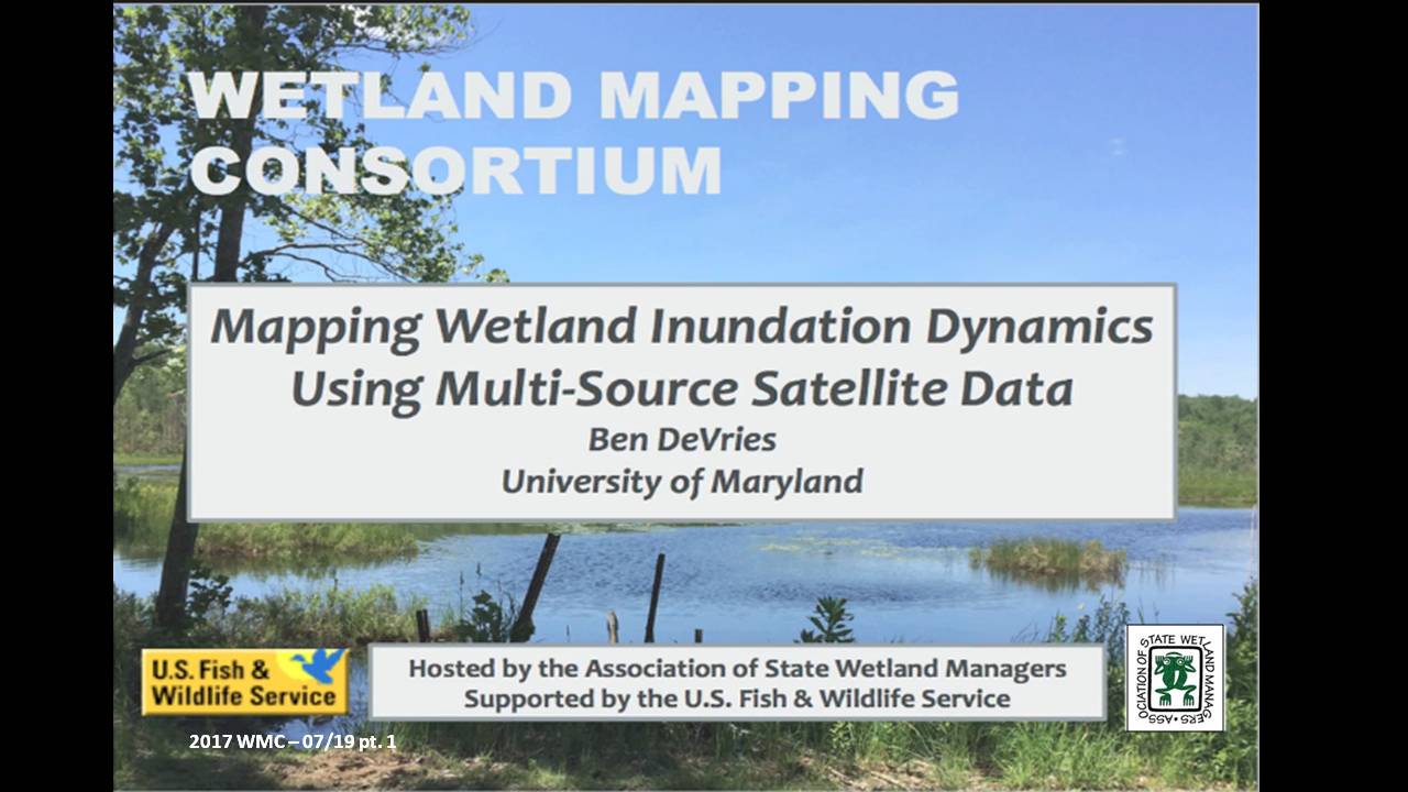
Mapping Wetland Inundation Dynamics Using Multi-Source Satellite Data
Held Wednesday, July 19, 2017 - 3 pm ET
INTRODUCTION
- Marla Stelk, Policy Analyst, Association of State Wetland Managers [PRESENTATION PDF]
PRESENTER
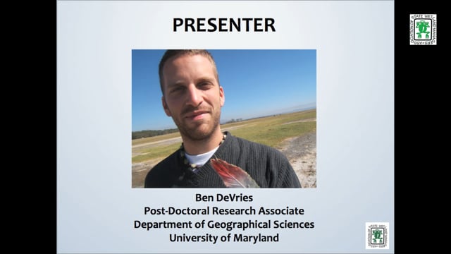
- Ben DeVries, Post-Doctoral Research Associate, Department of Geographical Sciences, University of Maryland [PRESENTATION PDF]
ABSTRACT
While the increasing availability of Earth observation has led to impressive advances in automated land cover mapping algorithms and products, wetlands often remain insufficiently or inconsistently represented in land cover products. On the other hand, while wetland inventories are able to provide significantly more thematic detail than general land cover products, their production usually relies on highly manual, static and expensive mapping methods. Surface inundation in wetlands is particularly difficult to quantify, given the complexity of the mixed water-vegetation-soil reflectance signatures as well as the highly dynamic nature of inundation in most wetland ecosystems. Optical data, such as those from the Landsat and Sentinel-2 satellite constellations, have been shown to be capable of detecting surface inundation at medium spatial resolution (~30m), allowing for the mapping of long-term trends. On the other hand, radar data are increasingly used to track surface inundation at regular time intervals, owing to the ability of radar energy to penetrate clouds. Despite these advantages, the temporal resolution of any single satellite sensor is often insufficient to adequately monitor surface inundation in wetlands, given the dynamic and often ephemeral nature of surface hydrology. New mapping approaches based on the fusion of optical and radar data streams shows promise in establishing regular fine-temporal-resolution records of wetland inundation. Multi-source data products related to wetland inundation are expected to support the ongoing development and updating of national and regional wetland inventories, support greenhouse gas modelling studies and the identification and quantification of wetland ecosystems.
BIO
 Ben DeVries is a Post-Doctoral Research Associate at the Department of Geographical Sciences, University of Maryland. He has a background in Remote Sensing and is currently developing algorithms for detecting and quantifying surface water inundation at fine spatial and temporal resolutions using multi-source satellite data. Ben earned his Ph.D. at Wageningen University in the Netherlands, where he studied forest dynamics in the tropics and developed novel methods using temporally dense Landsat time series data. He also earned his M.Sc. at Wageningen University, focussing on the role of surface and sub-surface hydrology on carbon emissions in degraded tropical peatlands.
Please click only once on each video recording to view in this window.
Part 1: Introduction: Marl Stelk, Policy Analyst, Association of State Wetland Managers![]()
Presenter: Ben DeVries, Post-Doctoral Research Associate, Department of Geographical Sciences, University of Maryland![]()
![]()
![]()
![]()

![]()
Wetland Mapping Consortium Workshop Webinars
The Wetland Mapping Consortium concurrent session below were held at the Association of State Wetland Managers annual meeting on April 12th.
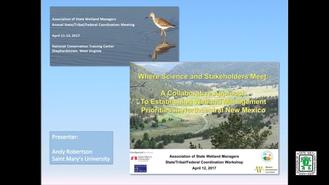
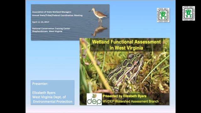
Moving Wetland Restoration into Recommendations into Action: New Mapping/Monitoring Program Tends
Held Wednesday, April 12, 2017
PRESENTERS
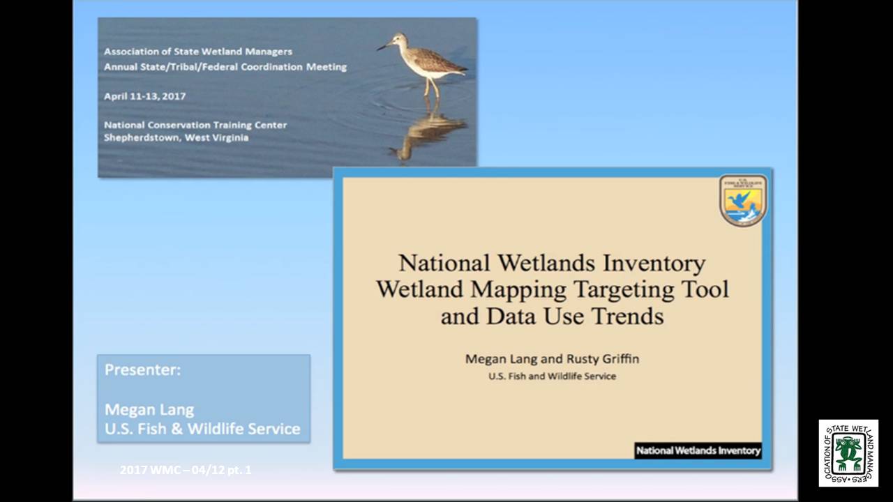
- National Wetlands Inventory Wetland Mapping Targeting Tool and Data Use Trends - Megan Lang, U.S. Fish and Wildlife Service
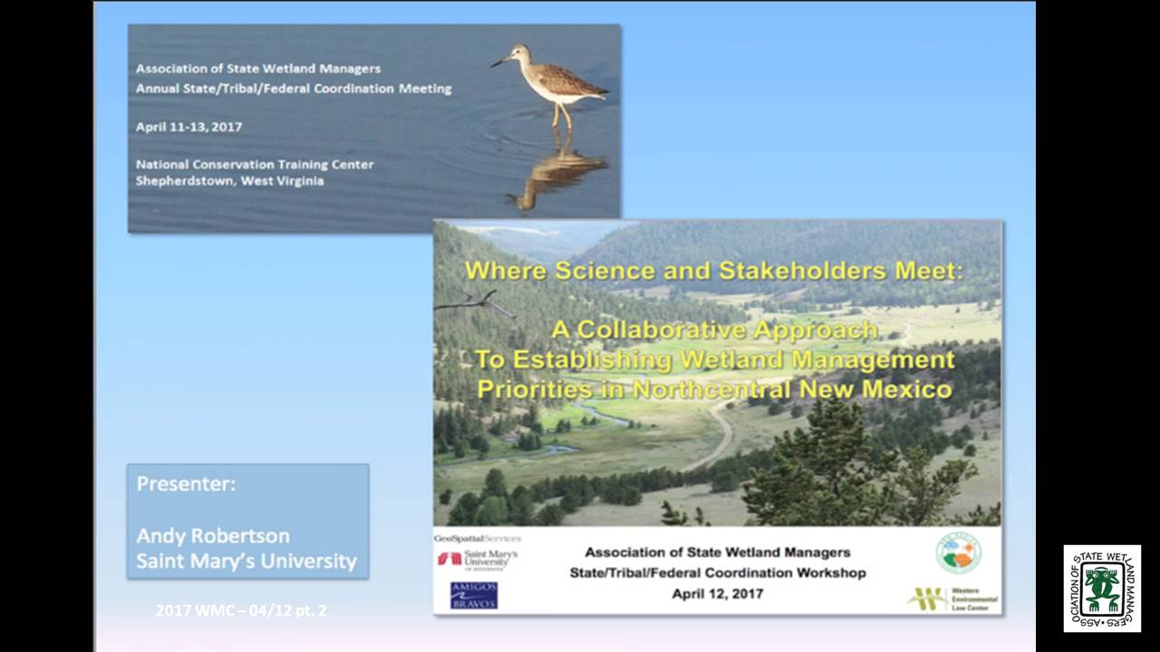
- A Collaborative Approach to Establishing Wetland Management Priorities in Northcentral New Mexico - Andy Robertson, Saint Mary's University
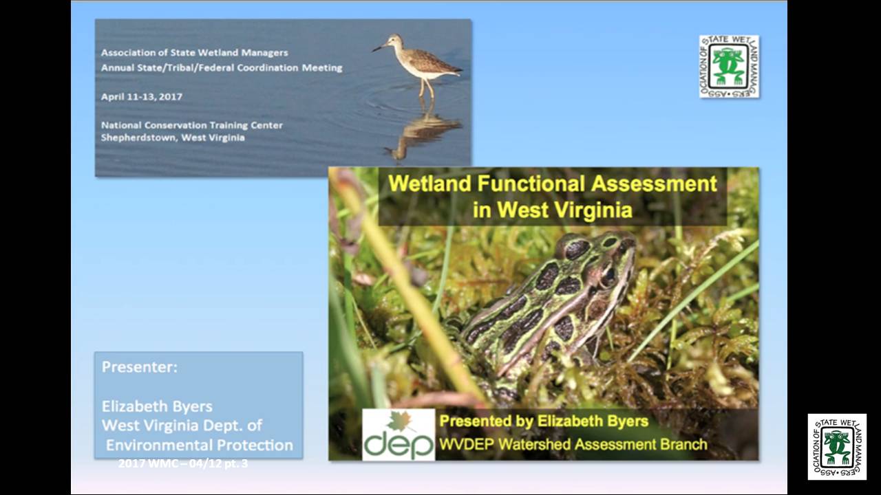
- Wetland Functional Assessment in West Virginia - Elizabeth Byers, West Virginia Department of Environmental Protection
BIOS
Megan Lang is Chief Scientist for the U.S. Fish and Wildlife Service National Wetland Inventory Program and Project Lead for the Service’s Wetlands Status and Trends effort. Dr. Lang is an adjunct professor at the University of Maryland Department of Geographical Sciences and the Virginia Tech Department of Crop and Soil Environmental Sciences. She earned her undergraduate degree from the College of Charleston Departments of Geology and Biology, and her graduate degrees from the University of Maryland Department of Geographical Sciences. She serves as an Associate Editor for the journal Wetlands, and has published over 50 scientific articles and book chapters. Dr. Lang has been working to improve the assessment of aquatic ecosystems through field and remote sensing studies for over two decades. Before working for the U.S. Fish and Wildlife Service, Dr. Lang led the U.S. Department of Agricultural Mid-Atlantic Regional Wetland Conservation Effects Assessment Project.
Andy Robertson is currently Executive Director of GeoSpatial Services at Saint Mary’s University of Minnesota. In this role, Andy is responsible for oversight and management of all GeoSpatial Services projects, activities and staff. GeoSpatial Services is engaged in a wide variety of projects across the Lower 48 and Alaska including: wetland inventory; National Hydrography Dataset updates; spatial data development; and, natural resource condition assessments. Andy earned a Forest Technology Diploma from Sault College of Applied Technology in Ontario, Canada, a B.Sc. in Environmental Science from the University of Waterloo and completed postgraduate work in forest management at the University of Toronto. GeoSpatial Services has been a key partner of the USFWS and has been working for over 15 years to update legacy National Wetland Inventory data across the nation. Andy is a steering committee member for the ASWM Wetland Mapping Consortium and is co-chair of the Alaska GeoSpatial Council Wetland Technical Working Group.
Elizabeth Byers, M.S. is a Senior Wetland Scientist with the West Virginia Department of Environmental Protection. With an undergraduate degree in geology (Brown University) and graduate studies in hydrology (New Mexico Tech) and ecology (Oregon State University), she likes to explore the relationships between native plants, their environments, and the wildlife habitat they provide. Her current project at WVDEP is developing a field and GIS python-automated protocol for wetland functional assessment for mitigation and conservation purposes. Ms. Byers has recently completed conservation assessments of wetlands and red spruce forests in West Virginia for the National Vegetation Classification, and climate change vulnerability assessment of rare species and wetland communities. Prior to joining state government, Ms. Byers worked for 20 years with non-profits as an ecologist and conservationist in the Himalayas, East African rift, Rocky Mountains, and Appalachians. Her current passionate hobby is writing a field guide to the flora and ethnobotany of Mount Everest National Park.
Please click only once on each video recording to view in this window.
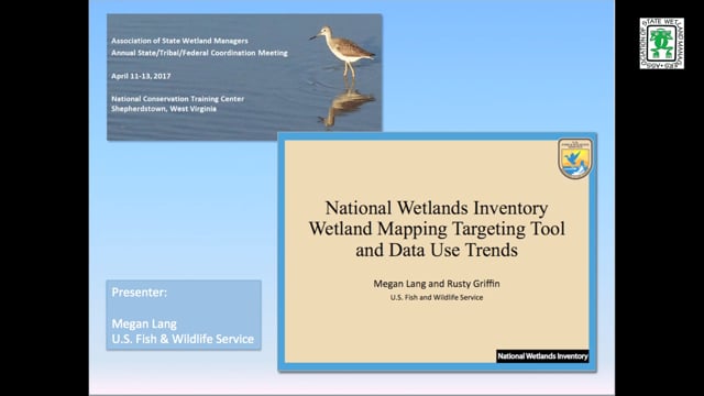
Part 1: Presenter: Megan Lang, U.S. Fish and Wildlife Service
![]()
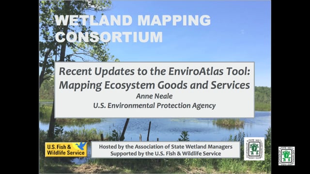
Recent Updates to the EnviroAtlas Tool: Mapping Ecosystem Goods and Services
Held Wednesday, February 15, 2017 - 3:00 pm ET
INTRODUCTION
- Marla Stelk, Policy Analyst, Association of State Wetland Managers [PRESENTATION PDF]
PRESENTER
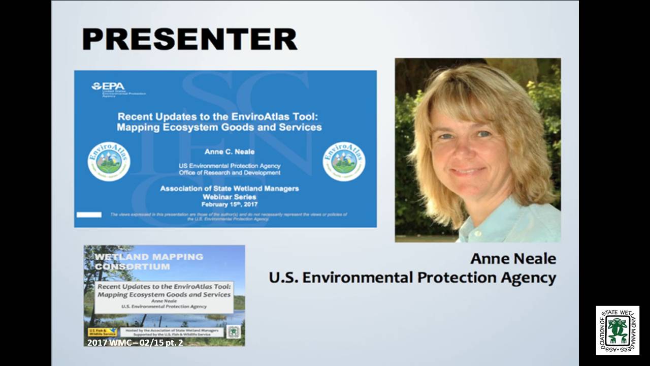
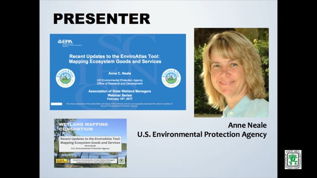
- Anne Neale, EnviroAtlas Project Lead, U.S. Environmental Protection Agency [PRESENTATION PDF]
ABSTRACT
EnviroAtlas is a multi-organization effort led by the U.S. Environmental Protection Agency to develop, host and display a large suite of nation-wide geospatial indicators of ecosystem goods and services. EnviroAtlas includes an Interactive Map which makes it easy for non-GIS users to view and analyze geospatial data including resources that could be particularly useful for wetland conservation, management, and research. An example of the many data layers available in EnviroAtlas is a nationwide 30-meter resolution data layer depicting suitability for wetland restoration which has been based on existing soils, land cover, and topography. Other data layers describe the land cover composition of water body buffers and connectivity to nutrient sources. Additional data layers relate to ecosystem markets and provide information about wetland mitigation banks. Other examples relate to biodiversity. More than 160 national indicators of ecosystem service supply, demand, and drivers of change provide a framework to inform decisions and policies at multiple spatial scales, educate a range of audiences, and supply data for research. A higher resolution component based on a one-meter land cover classification is also available, providing over 100 data layers for finer-scale analyses for selected communities across the US.
BIO
 Anne Neale is the Project Lead for EnviroAtlas, a web-based interactive tool that integrates over 300 mapped data layers and helps users understand the implications of planning and policy decisions on the benefits humans derive from ecosystems. Anne has a background in landscape ecology and ecosystem services and has been with EPA since 1991. She currently co-chairs a Working Group on Ecosystem Services housed within the White House Committee on Environment, Natural Resources and Sustainability, Subcommittee on Ecological Systems. She received a Bachelor of Science Degree in Environmental Studies from Utah State University in 1986. One of her primary research foci has been examining relationships between spatial patterns of landscape characteristics and conditions of and risks to ecological resources and the societal benefits they provide.
Please click only once on each video recording to view in this window.
Part 1: Introduction: Marl Stelk, Policy Analyst, Association of State Wetland Managers![]()
Presenter: Anne Neale, EnviroAtlas Project Lead,U.S. Environmental Protection Agency![]()
![]()
![]()
![]()
![]()
View Past Wetland Mapping Consortium Webinars
PDF List of Past Wetland Mapping Consortium Webinar Recordings