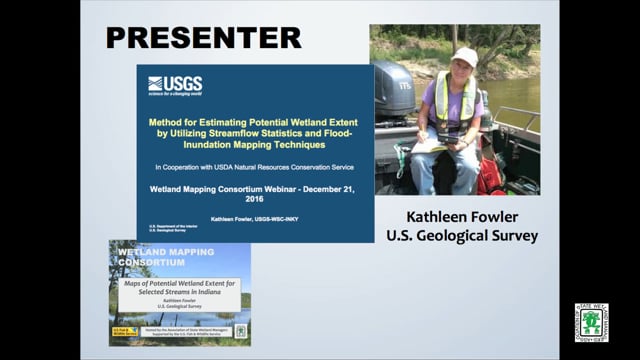
Maps of Potential Wetland Extent for Selected Streams in Indiana
Held Wednesday, December 21, 2016 - 3:00 pm Eastern
INTRODUCTION
- Marla Stelk, Policy Analyst, Association of State Wetland Managers
PRESENTER
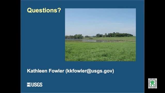
- Kathleen Fowler, U.S. Geological Survey [PRESENTATION PDF]
ABSTRACT
Project in cooperation with U.S. Department of Agriculture, Natural Resources Conservation Service, Indianapolis, Indiana
Wetlands serve many ecological and hydrological functions. The NRCS Wetland Reserve Program planning criteria state for a site to be a wetland eligible for a restoration in agricultural land, it needs be in a zone with sustained or frequent flooding for a period of 7 consecutive days on average at least once every 2 years (a recurrence interval called the 7MQ2).
The objectives of this project are to expand the library of 7QM2 potential wetland extent maps in Indiana; to make existing and new maps in the library available through an on-line public map viewer; to document software for 7QM2 map preparation; and to publish results of field verification of the maps, along with new maps by USGS.
BIO
 Kathleen Fowler has a Bachelor’s Degree in Geology from Indiana University. Her first major work experience was in the oil fields of Texas and Louisiana as a mud logging geologist. She began her career with the USGS as a field technician and then a hydrologist.
Kathleen has experience in both ground-water and surface-water hydrology. She has created GIS databases for military bases within Indiana. She has applied GIS techniques to classify hydrogeologic data for use in the ground-water model, MODFLOW. She led projects to compile hydrogeologic and water-quality data for the St. Joseph Aquifer System and sediment transport along a stream in that area. For Indiana’s Source Water Assessment, Kathleen surveyed and described intakes at most of Indiana’s surface-water suppliers. She has participated in mercury studies in litterfall, precipitation, and streams. Her most recent work has involved flood inundation mapping, low-flow characteristics estimation, and regional regression analysis for low-flow estimation at ungagged sites. She is an active member in Indiana Water Resources Association and is a Licensed Professional Geologist.
Please click only once on each video recording to view in this window.
Part 1: Introduction: Marla Stelk, Policy Analyst, Association of State Wetland Managers![]()
Presenter: Kathleen Fowler, U.S. Geological Survey![]()
![]()
![]()
![]()

![]()
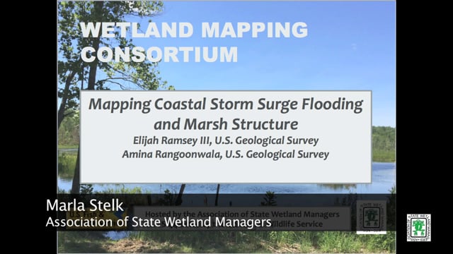
Mapping Coastal Storm Surge Flooding and Marsh Structure
Held Wednesday, October 5, 2016 - 3:00 pm Eastern
PRESENTERS
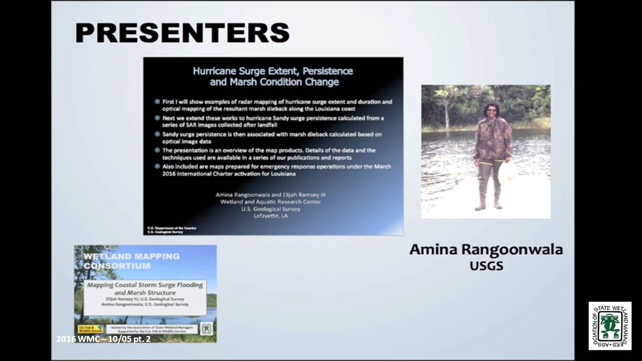
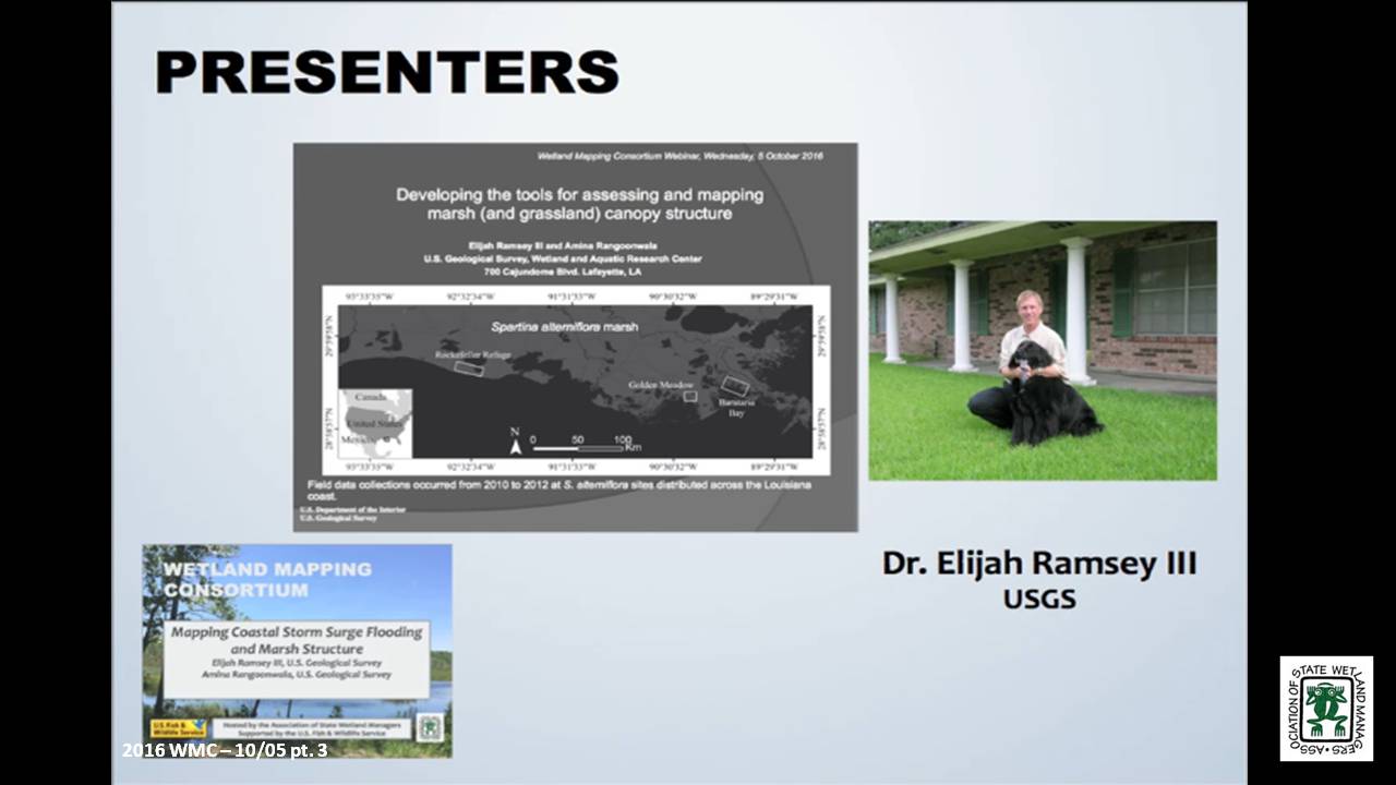
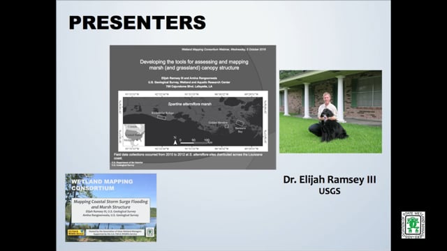
- Elijah Ramsey III, U.S. Geological Survey
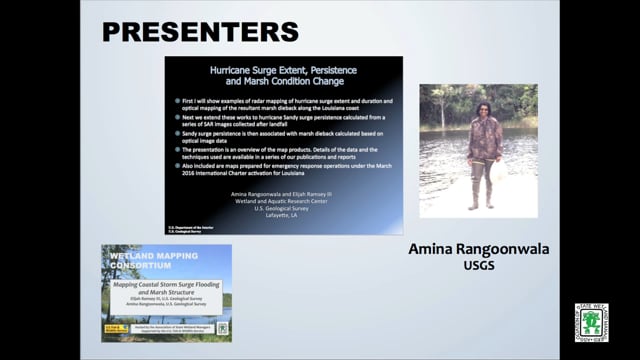
- Amina Rangoonwala, U.S. Geological Survey
ABSTRACTS
Developing the tools for assessing and mapping marsh (and grassland) canopy structure – Elijah Ramsey III, U.S. Geological Survey
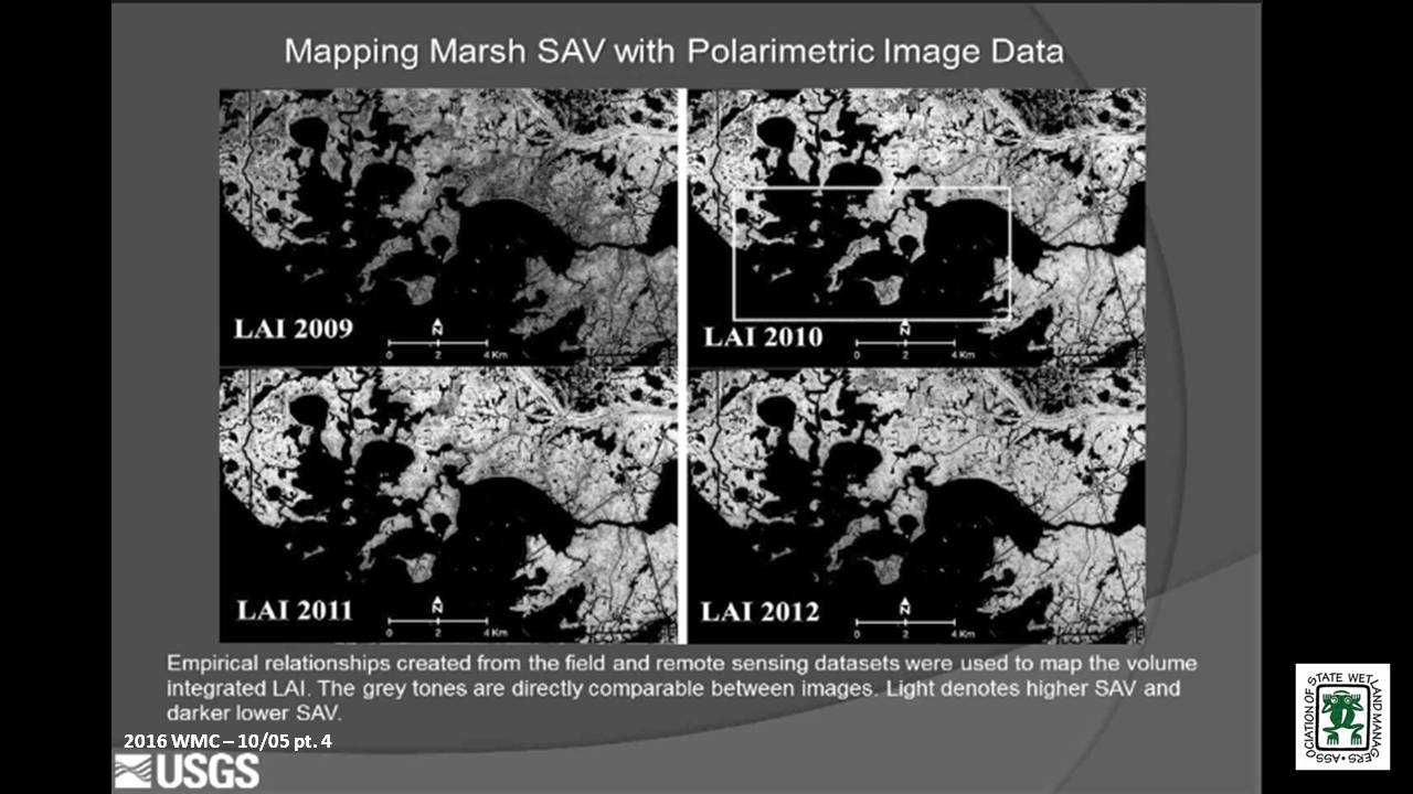
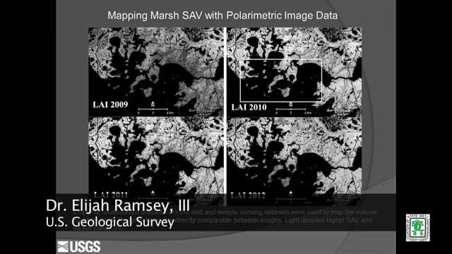
The capability to map marsh structure started with developing field methods that provided quantitative and reproducible 3-dimentional representations of marsh canopy structure. Methods of field collection were standardized over numerous studies and conversion of those standardized field measurements to vertical profiles of leaf area index (LAI) and average leaf angle distribution (LAD) was accomplished without user supplied estimates. LAI integrated to a volume metric and LAD were combined with polarimetric SAR data to create empirical relationships that were then used to create maps of marsh structure.
Hurricane Surge Extent, Persistence and Marsh Condition Change – Amina Rangoonwala, U.S. Geological Survey
Working to support coastal resilience, our studies have focused on providing resource management with effective strategies for identifying latent impacts to coastal resources. Within that effort, we have studied the capabilities of radar to map subcanopy flooding and its persistence in coastal marshes. We have also used optical to show how surge can cause widespread fresh and saline marsh dieback. Here we use a sequence of post landfall radar based surge extents to calculate surge persistence and link that to optical based pre to post landfall marsh live biomass change.
BIOS
 Elijah Ramsey III is a principal investigator of terrestrial and coastal ocean remote sensing and image processing in the U. S. Geological Survey, Wetland and Aquatic Research Center (formerly NWRC), Lafayette, Louisiana. He received his B.S. in Chemistry at the University of Oregon, his M.S. in Geophysics from the Georgia Institute of Technology in Atlanta, Georgia, and his Ph.D. from the Department of Geography at the University of South Carolina. His applied research is focused on producing consistent biophysical information directly relevant to sustaining critical natural resources that support the well-being of human and wildlife populations. As part of this focus, his work integrates data from passive to active and optical to radar systems that advance the response and strategic monitoring of natural resources and the human populations and facilities that occupy these environments.
 Amina Rangoonwala received her M.Sc degree in Physics from the University of Karachi, Pakistan in 1984. After immigrating to the United States in 2000, she worked as a remote sensing specialist contractor at USGS National Wetlands Research Center, Lafayette, Louisiana until becoming an employ of USGS as an Earth Science Remote Sensing Geophysicist in 2014. She has worked on projects applying hyperspectral image analysis to determine the onset and progression of vegetation decline, detection of the invasive species occurrences, and leaf optics measurements for ground base validation. Her work also involves the integration of optical and radar satellite data to map the relationship between flood inundation extent and duration and marsh condition and the development of polarimetric radar methods for mapping canopy structure. She is called to map river and storm flooding in the coastal region of the central Gulf of Mexico during emergency activations of the International Charter.
Please click only once on each video recording to view in this window.
Part 1: Introduction: Marla Stelk, Policy Analyst, ASWM![]()
Presenter: Amina Rangoonwala, U.S. Geological Survey![]()
![]()
![]()
![]()
![]()
September 2016
Break![]()
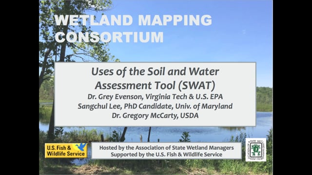
3 Part Webinar on the Soil and Water Assessment Tool (SWAT)
Held Wednesday, July 20, 2016 – 3:00pm Eastern
INTRODUCTION
- Marla Stelk, Policy Analyst, Association of State Wetland ManagerS [PRESENTATION PDF]
PRESENTERS
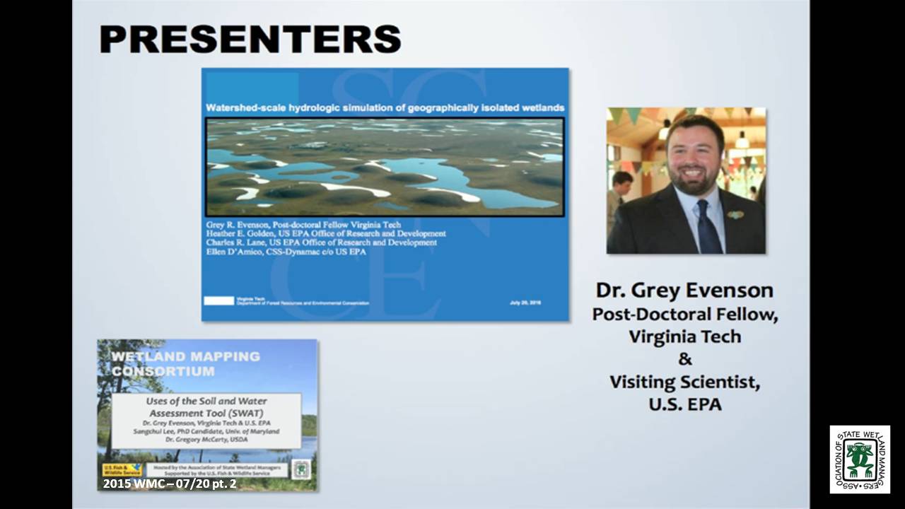
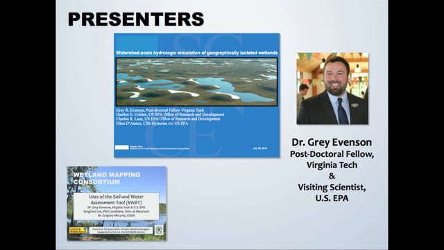
- Grey Evenson, PhD, Post-Doctoral Fellow, Virginia Tech and Visiting Scientist, U.S. EPA [PRESENTATION PDF]
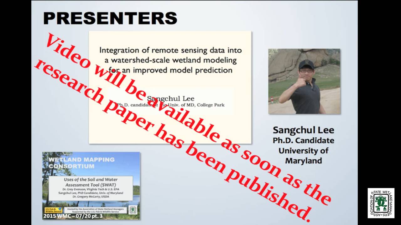
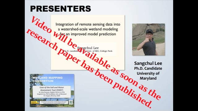
- Sangchul Lee, PhD Candidate, University of Maryland [PRESENTATION PDF]
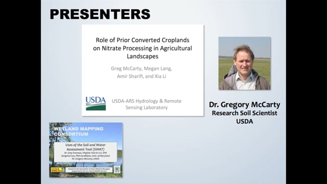
- Greg McCarty, PhD, Research Soil Scientist, USDA [PRESENTATION PDF]
ABSTRACTS
Watershed-scale hydrologic simulation of geographically isolated wetlands: methods and preliminary results - Grey Evenson, PhD, Post-Doctoral Fellow, Virginia Tech and Visiting Scientist, U.S. EPA
Geographically isolated wetlands (GIWs), defined as wetlands surrounded by uplands, provide an array of ecosystem goods and services. Within the United States, federal regulatory protections for GIWs are contingent, in part, on the quantification of their singular or aggregate effects on the hydrological, biological, or chemical integrity of waterways regulated by the Clean Water Act (CWA). However, limited tools are available to assess the downgradient effects of GIWs. We modified the Soil and Water Assessment Tool (SWAT), a popular watershed-scale hydrologic model, to incorporate an improved representation of GIW hydrologic processes and thereby evaluate the watershed-scale hydrologic effects of GIWs on downgradient hydrology. This webinar will review (1) our approach to incorporating National Wetland Inventory (NWI) delineated GIWs into SWAT; (2) our method of re-defining SWAT Hydrologic Response Units (HRUs) boundaries to conform to the boundaries of NWI delineated GIWs while simulating fill-spill inter-GIW hydrologic flows; and (3) preliminary results from the application of our modeling approach in the ~1,700 km2 Pipestem watershed in the Prairie Pothole Region of North Dakota. Our approach to modifying SWAT may be replicated to evaluate the watershed-scale aggregate hydrologic effects of GIWs in different watersheds and physiographic regions.
Integration of remote sensing data into a watershed-scale wetland modeling for an improved model prediction - Sangchul Lee, PhD, Candidate, University of Maryland
Wetlands provide important ecological benefits for biodiversity and water quality. This ecosystem functioning highly relies on the hydrological characteristics of wetlands (e.g., hydro-period) and their connectivity to the downstream waters. Soil and Water Assessment Tool (SWAT), one of widely used watershed models, has been applied to investigate catchment-scale wetland hydrological function. However, uncertainties associated with wetland parameterization and the prediction of inundated areas have not been thoroughly assessed due to the data unavailability. Remote sensing provides synoptic information on the spatial distribution of wetland, and recent studies demonstrated improved capability to characterize wetland inundation patterns at a high resolution (30-m) using time series Landsat records and LiDAR. This study integrated remote sensing data into Soil and Water Assessment Tool (SWAT) to improve the wetland parameterization and prediction on inundated area and to assess the cumulative hydrological impacts of wetlands on the downstream water. We adopted Riparian wetland module (RWM), a SWAT extension for riparian wetlands, to simulate interactions between RWs and nearby streams. We illustrated how inundation maps (derived from satellite remote sensing) can be used to set up spatially varying wetland parameters and to assess predicted inundation at the landscape scales, considering the assumptions and simplification of wetland processes represented in SWAT. Using the Choptank Watershed as a case study, we demonstrated the hydrological benefits of wetlands to stabilize overall flow pattern and reduce peak flow at the storm event.
Role of Prior Converted Croplands on Nitrate Processing in Agricultural Landscapes - Gregory McCarty, PhD, Research Soil Scientist, USDA
Prior converted croplands (PCC) are wetlands that were drained for crop production prior to the Swampbuster provisions of the 1985 Food Security Act. Within the Swampbuster provisions, PCC’s will revert to wetlands if the land is not cropped for five years and as such they hold special status within agricultural ecosystems for conservation. Our research has found that although PCC’s are sufficiently drained for crop production, they still retain some of the biogeochemical characteristics of wetlands because of both intrinsic (soil) and extrinsic (landscape position) properties. We find evidence that the amount of nitrate exported from agricultural watersheds can be related to extent of crop production on hydric soils associated with PCCs. We hypothesize that this relationship is due to increased ability of PCC’s to process nitrate before leaching to groundwater. The SWAT model has now been successfully modified to better reflect the unique role PCC’s play in mitigating nitrate export for agricultural production systems. This work also emphasizes the need to better map the location of PCC’s in agricultural ecosystems both for conservation and for understanding the fate of agricultural nitrogen.
BIOS
 Grey R. Evenson, Ph.D. is a post-doctoral fellow with Virginia Tech’s Department of Forest Resources and Environmental Conservation and a Visiting Scientist with the US EPA’s Office of Research and Development. He specializes in the simulation of wetland hydrologic effects at larger spatial scales as well as wetland conservation and restoration planning methods. Grey completed his Ph.D. in Geography at Ohio State University in 2014. He lives with his wife and two fat cats in Columbus, Ohio.
Sangchul Lee earned his bachelor and master degree from South Korea and is working toward his PhD at the department of Geographical Sciences in the University of Maryland, College Park. He is interested in assessing the long-term impacts of winter cover crops and wetlands on agricultural watersheds using a watershed model. He integrated remote sensing data into a watershed model to better represent physical processes and improve model predictions.
Greg McCarty is a research soil scientist at the USDA ARS Hydrology and Remote Sensing Laboratory in Beltsville MD. Dr. McCarty is a recognized authority on movement and fate of carbon in agricultural landscapes. Dr. McCarty investigates biogeochemical processes affecting transformation of nitrogen and carbon in agricultural crop fields and adjacent ecosystems such as riparian buffer wetlands. He also leads the Choptank River Watershed project on the Eastern Shore of Maryland which is part of the USDA Long-term Agroecosystem Research network. With this project, conservation practices are being assessed at the watershed scale by use of a combination remote sensing and modeling.
Please click only once on each video recording to view in this window.
Part 1: Introduction: Marla Stelk, Policy Analyst, Association of State Wetland Managers![]()
![]()
![]()
![]()
![]()
![]()
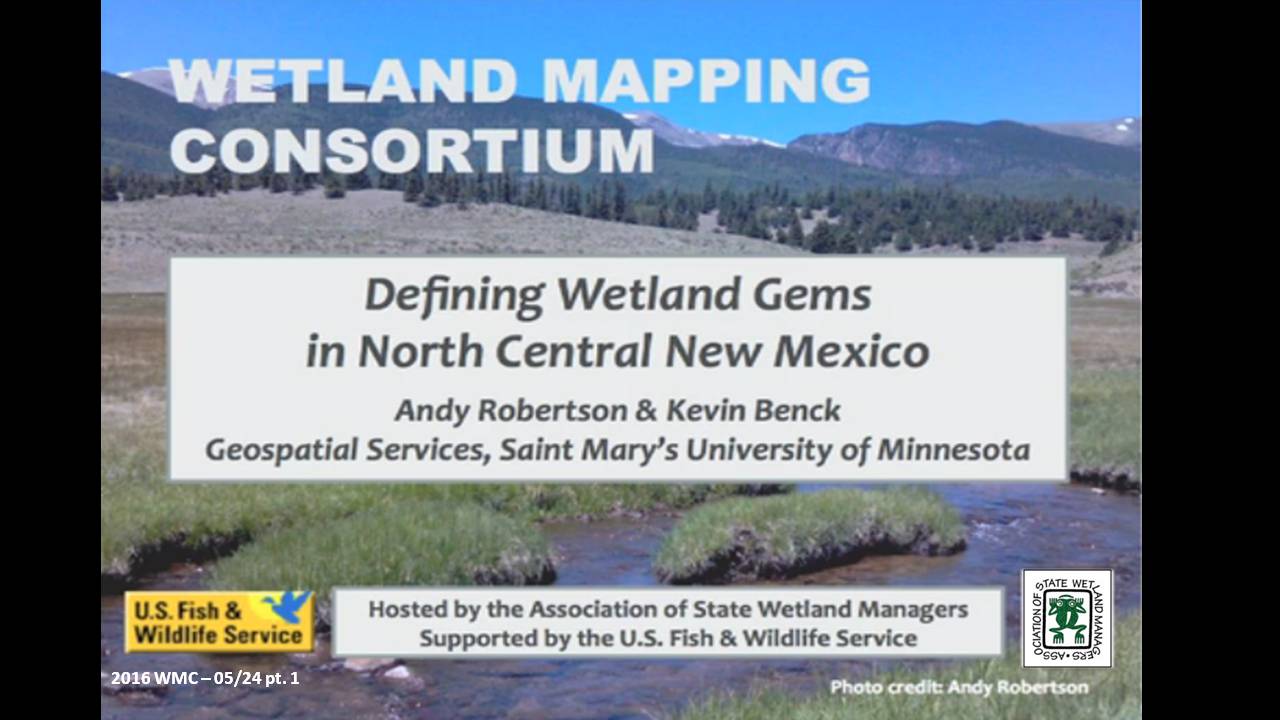
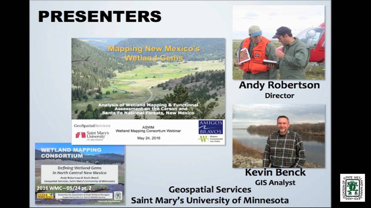
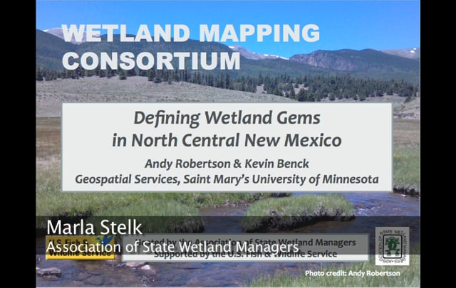
Defining Wetland Gems in North Central New Mexico
Held Tuesday, May 24, 2016 - 3:00pm Eastern
INTRODUCTION
- Marla Stelk, Policy Analyst, Association of State Wetland Managers [PRESENTATION PDF]
PRESENTERS
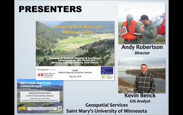
- Andy Robertson - Saint Mary’s University of Minnesota and Kevin Benck - Saint Mary’s University of Minnesota [PRESENTATION PDF]
ABSTRACT
Defining Wetland Gems in North Central New Mexico – Amigos Bravos and GeoSpatial Services
In a recent project, Amigos Bravos and the Western Environmental Law Center worked with GeoSpatial Services of Saint Mary’s University to identify important wetlands in the Carson National Forest of North Central New Mexico. This project utilized recently developed landscape level wetland mapping available from the New Mexico Environment Department (NMED), Surface Water Quality Bureau (SWQB). The purpose was to identify and characterize important wetland complexes in order to provide input to the U.S. Forest Service ten-year planning process and to help guide stakeholder opportunities for on-the-ground wetland management and restoration.
In order to facilitate this process, GeoSpatial Services conducted a GIS-based query and analysis exercise that resulted in the identification of key wetlands or wetland complexes within the National Forests that could be targeted for preservation, restoration and/or enhancement. These “Wetland Gems” were defined using a combination of NWI wetland boundaries, LLWW functional assessment criteria, HGM regional sub-classes and a variety of collateral spatial data layers such as SSURGO soils, NHD, cold and warm water fisheries and landcover.
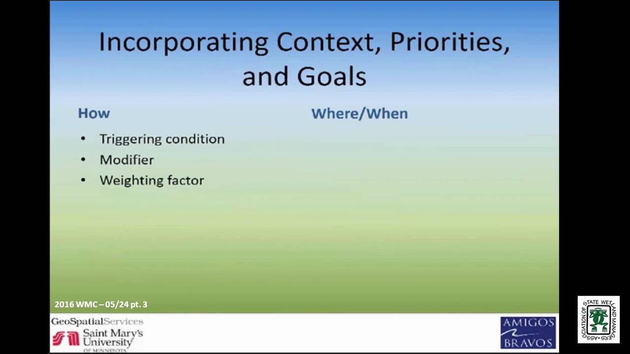
Current efforts are focused on development of a methodology to quantify the total functional performance of a given wetland at three scales: the wetland mapping unit, the spatial context within a larger ecological unit (watershed), and wetland/watershed recovery priorities and management goals at some regional scale (county). While these three scales are qualitatively represented in the current Wetland Gems selection criteria, efforts are now focused on developing a scientifically credible and defensible quantitative approach.
BIOS
 Kevin Benck - Saint Mary’s University of Minnesota
Kevin joined GeoSpatial Services as a GIS Analyst in the fall of 2013. At GeoSpatial Services, Kevin fills a variety of roles on several projects ranging from project lead to conducting GIS analysis and data development in support of on-going projects. Prior to joining GeoSpatial Services, Kevin spent over 10 years working as part of a team in the development and application of analytical and geospatial tools for ecosystem services and environmental function analysis. Kevin has a B.A. in Environmental Studies and has continued his education with post graduate coursework in hydrology, hydrogeology, and environmental geography.
 Andy Robertson - Saint Mary’s University of Minnesota
After serving as lead Project Manager for over 10 years, Andy Robertson assumed the position of GeoSpatial Services Director on June 01, 2015. In this role, Andy is responsible for oversight and management of all GeoSpatial Services projects, activities and staff. He continues to lead the management of project resources for a wide range of wetland mapping, spatial data development, and natural resource related projects as well as provide supervision and development for technical staff. Andy earned a Forest Technology Diploma from Sault College of Applied Technology in Ontario, Canada, a B.Sc. in Environmental Science from the University of Waterloo and completed post graduate work in forest management at the University of Toronto. GeoSpatial Services has been a key partner of the USFWS and has been working for over 15 years to update legacy National Wetland Inventory data nation-wide.
Please click only once on each video recording to view in this window.
Part 1: Introduction: Marla Stelk, Policy Analyst, Association of State Wetland Managers![]()
Presenter: Andy Robertson, Saint Mary’s University of Minnesota ![]()
![]()
![]()
![]()
![]()

Wetland Mapping Consortium Workshop Webinars
The Wetland Mapping Consortium concurrent session below were held at the Association of State Wetland Managers annual meeting on March 30th.
Working towards an Automated Wetlands Mapping Process: Successes, Failures, and Potential for the Future
Held Wednesday, March 30, 2016 - 3:30 p.m.-4:00 p.m. Eastern
PRESENTER
- Robb McLeod, Ducks Unlimited
ABSTRACT
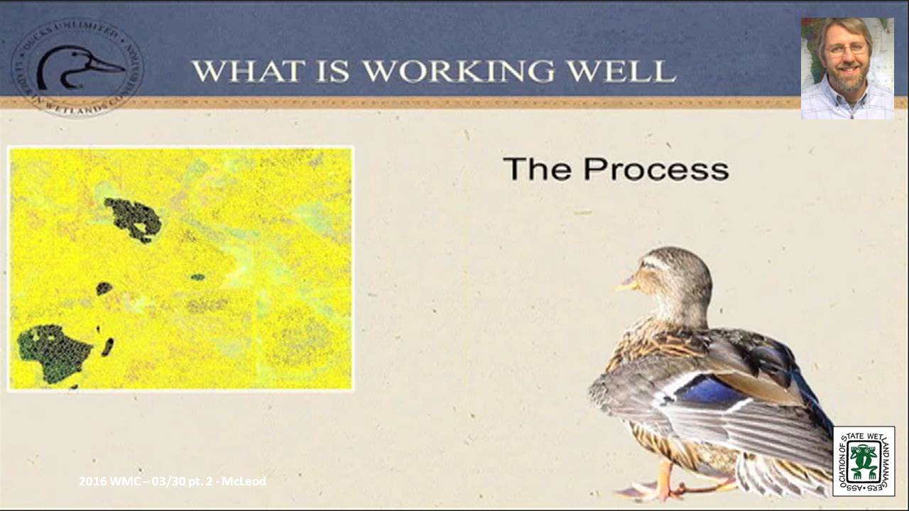
The U.S. Fish and Wildlife Service (FWS) started the operational phase of the National Wetlands Inventory (NWI) in 1979 with two main efforts: wetland mapping and wetlands status and trends. After 35 years and more than $220 million, the FWS completed the wetland mapping for the conterminous United States. Using current technology and today’s dollars, it would take approximately $260 million to remap the wetlands in the same geographic area. However, with emerging technologies and access to large amounts of remote sensing data (imagery, Lidar, Radar), there may be ways to drastically reduce the cost for mapping wetlands.
Ducks Unlimited and the Minnesota Department of Natural Resources have been utilizing semi-automated wetland mapping techniques for the Minnesota wetland mapping project. While we have made significant progress in automating some of the wetland mapping, there is still a long ways to go before a more fully automated system is developed. This presentation reviewed our system for semi-automated wetlands mapping and highlight some of the successes and failures. The presentation also looked at the potential for utilizing some of these techniques in future wetlands mapping projects.
BIO
 Robb Macleod is the National GIS Coordinator for Ducks Unlimited. He has been working for Ducks Unlimited in the GIS and Remote Sensing field for over 20 years. His current duties include corrdinating all of the geospatial activities for Ducks Unlimited. Robb has been active in mapping wetlands in the Great Lakes for over 10 years with previous experience mapping wetlands and land cover in Alaska.
Please click only once on each video recording to view in this window.
Part 1: Introduction: Marla Stelk, Policy Analyst, ASWM![]()
Presenter: Robb McLeod, Ducks Unlimited ![]()
![]()
![]()
![]()
![]()
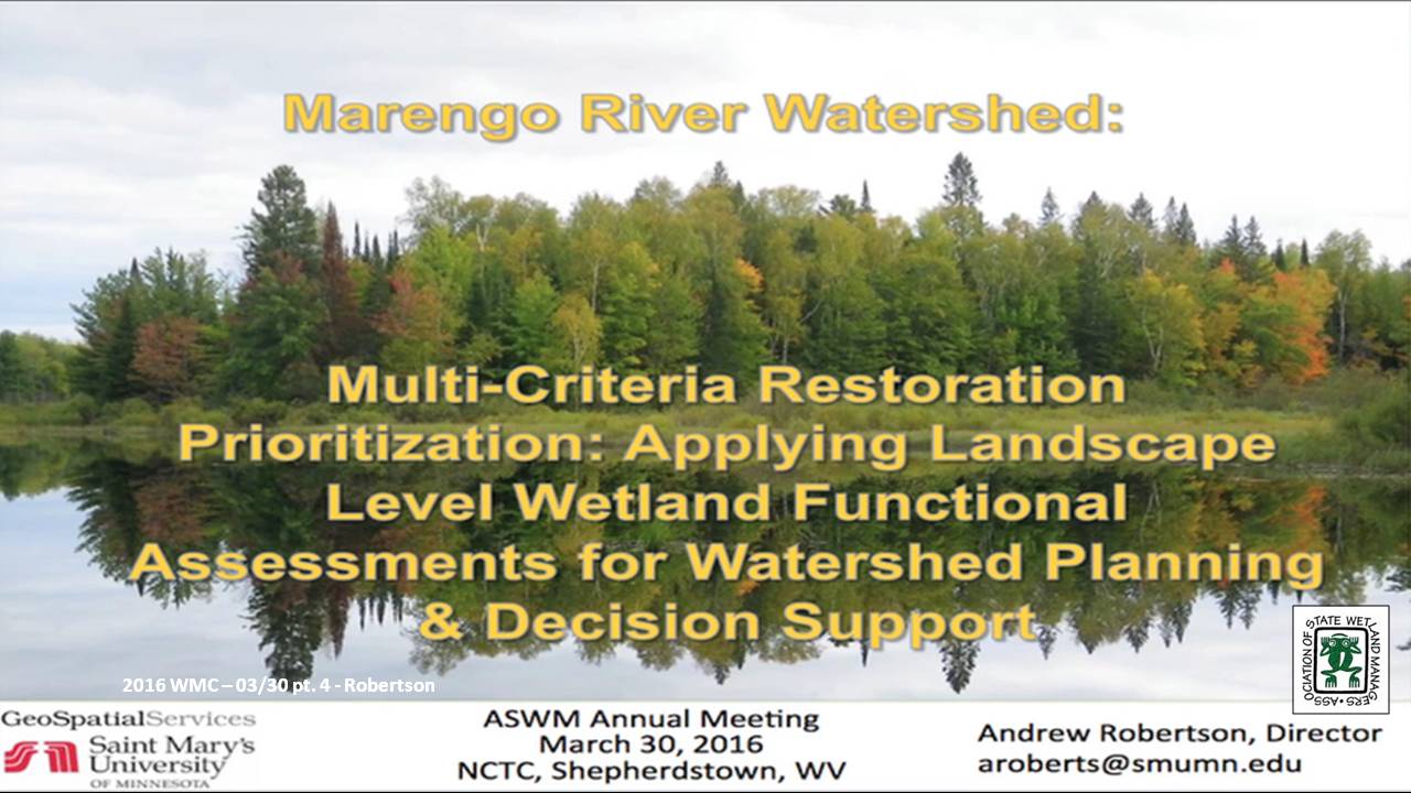
Multi-Criteria Restoration Prioritization: Applying Landscape Level Wetland Functional Assessments for Watershed Planning & Decision Support
Held Wednesday, March 30, 2016 - 4:00 p.m.-4:30 p.m. Eastern
PRESENTER
- Andy Robertson, Saint Mary's University of Minnesota
ABSTRACT
The Wisconsin Department of Natural Resources and Saint Mary’s University of Minnesota GeoSpatial Services (GSS) have recently started work on a detailed wetland functional assessment of the Marengo River Watershed within the Lake Superior Basin of Northern WI. The Marengo River has been identified as a key watershed for restoration efforts funded through the Great Lakes Restoration Initiative. Infrastructure and strong support for watershed conservation activities exists within the Lake Superior Basin Partnership, the Chequamegon Bay Partnership and the Bad River Watershed. However, some of the detailed current wetland information needed to prioritize wetland restoration and conservation is not available. This project is supplying the information needed to identify restoration opportunities at the parcel level and demonstrate how a functional assessment of existing wetlands can support prioritization of conservation opportunities. This webinar will summarize project activities to date.
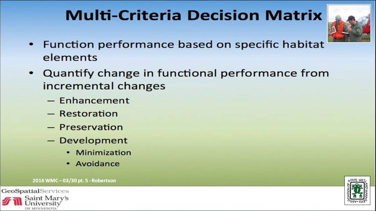
Work includes development of a feasibility matrix for evaluating wetland restoration opportunities which defines characteristics for prioritizing and directing investments in wetland restoration activity based on such factors such as: watershed needs, funding, local planning, land ownership, historic and predicted climate patterns, and PRW location. This includes the development of a list of feasibility categories such as ecological, social and economic as well as a method for comparing historic distribution of wetlands (PRW) with current wetland locations dissected by current property ownership. This will permit the compilation of contact lists for distribution of educational materials and the communication of stakeholder engagement opportunities to land owners/wetland locations that have a real opportunity to impact watershed issues. It will also provide government decision makers with data to support planning, zoning and bylaw decisions.
BIO
After serving as lead Project Manager for over 10 years, Andy Robertson assumed the position of GeoSpatial Services Director in 2015. In this role, Andy is responsible for oversight and management of all GeoSpatial Services projects, activities and staff. He continues to lead the management of project resources for a wide range of wetland mapping, spatial data development, and natural resource related projects as well as provide supervision and development for technical staff. Andy earned a Forest Technology Diploma from Sault College of Applied Technology in Ontario, Canada, a B.Sc. in Environmental Science from the University of Waterloo and completed post graduate work in forest management at the University of Toronto. GeoSpatial Services has been a key partner of the USFWS and has been working for over 15 years to update legacy National Wetland Inventory data nation-wide.
Please click only once on each video recording to view in this window.
Part 3: Presenter: Andy Robertson, Saint Mary's University of Minnesota![]()
![]()
![]()
![]()
![]()
![]()
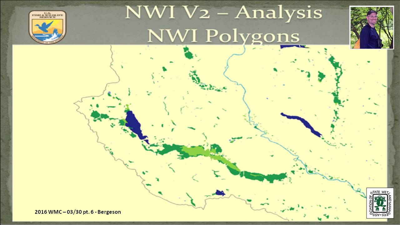
National Wetlands Inventory Version 2 – Surface Waters and Wetlands
Held Wednesday, March 30, 2016 - 4:30 p.m.-5:00 p.m. Eastern
PRESENTER
- Mitch Bergeson, U.S. Fish & Wildlife Service
ABSTRACT
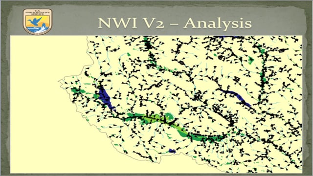
The NWI 2.0 dataset is a more comprehensive characterization of all surface water features on the landscape. It stems from the need to represent all surface waters and wetlands as polygons in a single geospatial dataset to facilitate accurate area calculations and provide consistent, standardized ecological classification to allow for adaptive management, geospatial summaries, and modeling. The NWI 2.0 has been created by retaining the wetland and deepwater polygons that compose the NWI digital wetlands spatial data layer and reintroducing any linear wetland or surface water features that were orphaned from the original NWI hard copy maps by converting them to narrow polygonal features. Additionally, the data are supplemented with hydrography data, buffered to become polygonal features, as a secondary source for any single-line stream features not mapped by the NWI and to complete segmented connections.
Due in part to how wetlands were mapped in the past, coupled with improved geospatial processing techniques, the NWI 2.0 dataset is a departure from the legacy NWI data in several ways. The NWI 2.0 depicts all surface water and wetland features in a single database; it applies the FGDC Classification of Wetlands and Deepwater Habitats (Cowardin et al. (1979), system to provide consistent ecological descriptors intended to address wetlands and water bodies; and it imparts new and improved information about wetland extent and hydrologic connectivity.
There are many opportunities to apply NWI 2.0 data to assist in resource management, planning, and strategic habitat conservation efforts. Applications include various geospatial analyses, tracing contaminant pathways through aquatic systems, identifying and prioritizing habitat restoration opportunities, examining continuity or dissection of habitat corridors, quantifying aquatic and wetland resource types, and facilitating ecological modeling.
BIO
 Mitch Bergeson is the Project Lead for the US Fish and Wildlife Service's, National Standards and Support Team (NSST) in Madison WI, which manages the National Wetlands Inventory database, Wetlands Mapper and the Wetlands Status and Trends Projects. Mitch has over 20 years of experience in the natural resource and geospatial fields and holds a B.S. in Biology from the University of Wisconsin - Stevens Point and an M.S. in Wildlife Ecology and Certificate Degree in GIS, both from the University of Wisconsin – Madison.
Please click only once on each video recording to view in this window.
Part 5: Presenter: Mitch Bergeson, U.S. Fish & Wildlife Service
![]()
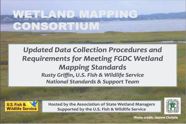
Updated Data Collection Procedures and Requirements for Meeting FGDC Wetland Mapping Standards
Held Wednesday, February 17, 2016 – 3:00 p.m. Eastern
INTRODUCTION
- Marla Stelk, Policy Analyst,Association of State Wetland Managers [PRESENTATION PDF]
PRESENTER
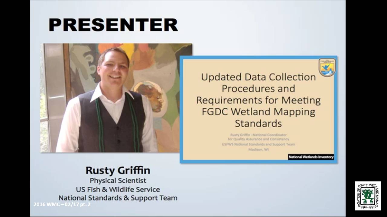
- Rusty Griffin, U.S. Fish and Wildlife Service's, National Standards and Support TeaM [PRESENTATION PDF]
ABSTRACT
In June 2015, the National Wetland Inventory updated their data collection procedures and requirements. This webinar explained the major changes to data collection and elaborates on the data requirements for submission to the national dataset. Specifically the webinar focused on new classification restrictions placed on water regimes and the updated quality control tools used to verify data consistency.
BIO
 Rusty Griffin is a Physical Scientist for the U.S. Fish and Wildlife Service's, National Standards and Support Team in Madison Wisconsin. He is the National Wetlands Coordinator for the National Wetlands Inventory, responsible for quality assurance/quality control and national consistency for the wetlands layer of the National Spatial Data Infrastructure. Rusty has over 8 years of experience in wetland mapping – creating NWI maps as a private contractor and a federal employee, holds a B.S. in Geology from Portland State University, and is a member of the National Technical Committee for Hydric Soils.
Please click only once on each video recording to view in this window.
Part 1: Introduction: Marla Stelk, Policy Analyst, ASWM
Presenter: Rusty Griffin, U.S. Fish and Wildlife Service's, National Standards and Support Team
![]()
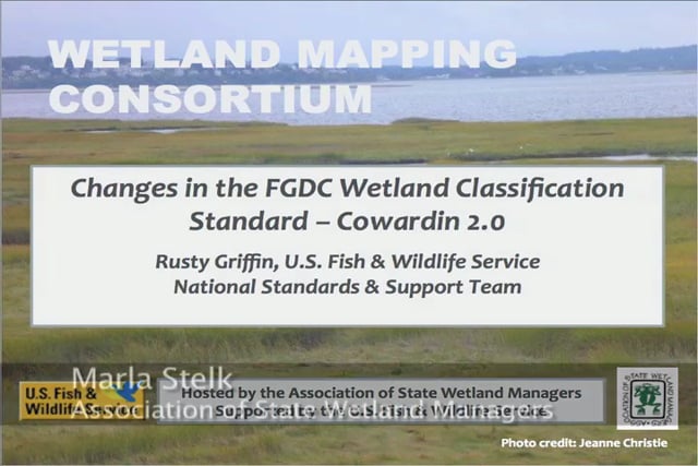
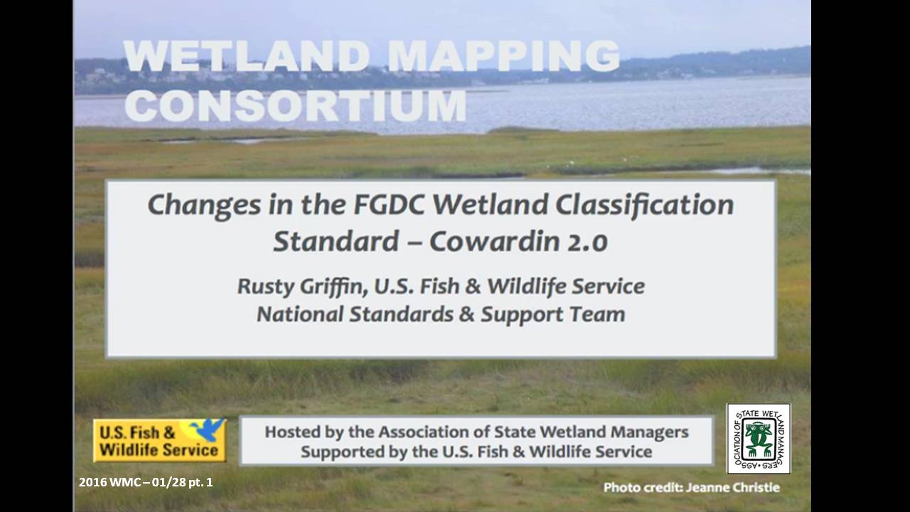
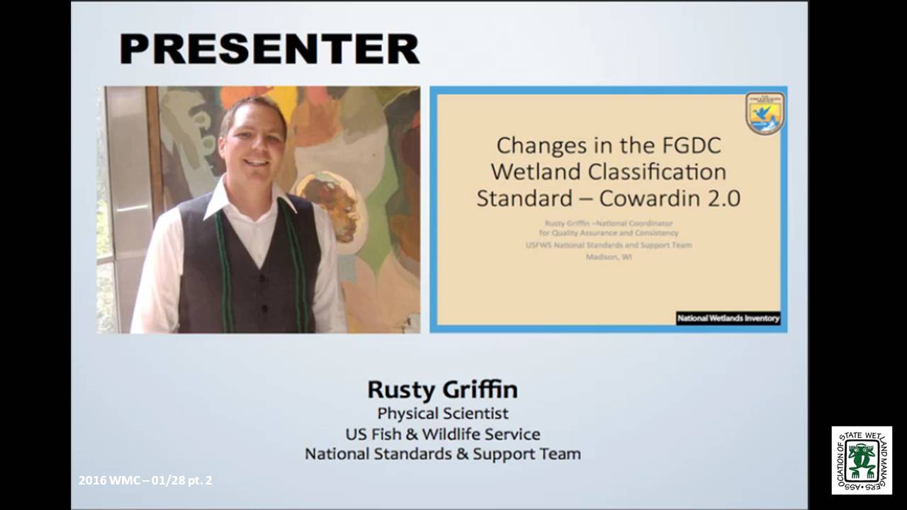
Changes in the FGDC Wetland Classification Standard – Cowardin 2.0
Held Thursday, January 28, 2016 – 3:00 p.m. Eastern
INTRODUCTION
- Marla Stelk, Policy Analyst, Association of State Wetland Managers [PRESENTATION PDF]
PRESENTER
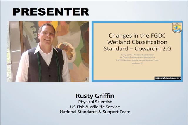
- Rusty Griffin, U.S. Fish and Wildlife Service's, National Standards and Support Team [PRESENTATION PDF]
ABSTRACT
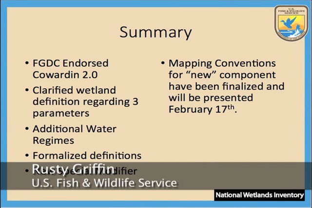
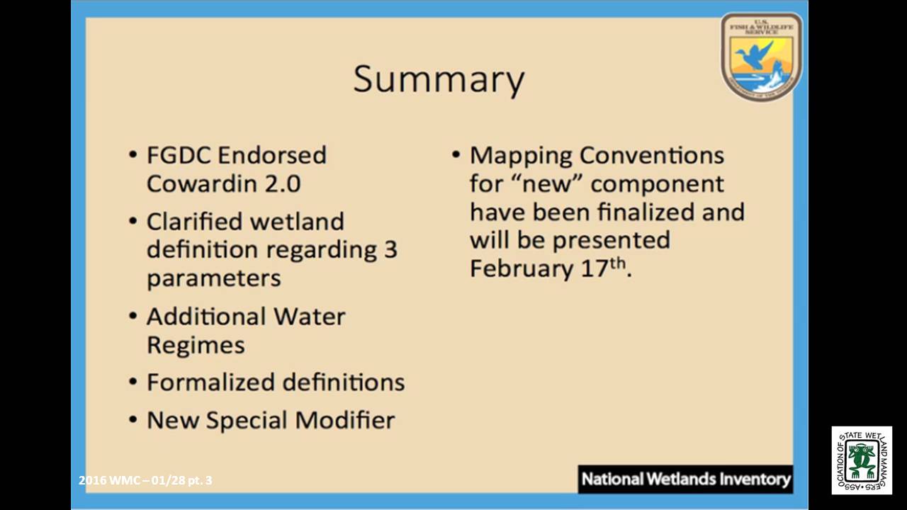
The second version of the Cowardin Classification system was adopted as the federal standard in 2013. This webinar provided an overview of the classification hierarchy and outlined the updates and revisions of this new standard. It clarifies classification breaks between systems, classes, and subclasses, specific to mapping wetlands using the FGDC’s wetland mapping standard; and also provides information regarding wetland data submission and inclusion in the national dataset.
BIO
Rusty Griffin is a Physical Scientist for the U.S. Fish and Wildlife Service's, National Standards and Support Team in Madison Wisconsin. He is the National Wetlands Coordinator for the National Wetlands Inventory, responsible for quality assurance/quality control and national consistency for the wetlands layer of the National Spatial Data Infrastructure. Rusty has over 8 years of experience in wetland mapping – creating NWI maps as a private contractor and a federal employee, holds a B.S. in Geology from Portland State University, and is a member of the National Technical Committee for Hydric Soils.
Please click only once on each video recording to view in this window.
Part 1: Introduction: Marla Stelk, Policy Analyst, Association of State Wetland Managers
Presenter: Rusty Griffin, U.S. Fish and Wildlife Service's, National Standards and Support Team
![]()
View Past Wetland Mapping Consortium Webinars
List of Past Wetland Mapping Consortium Webinar Recordings
View Upcoming Wetland Mapping Consortium Webinars