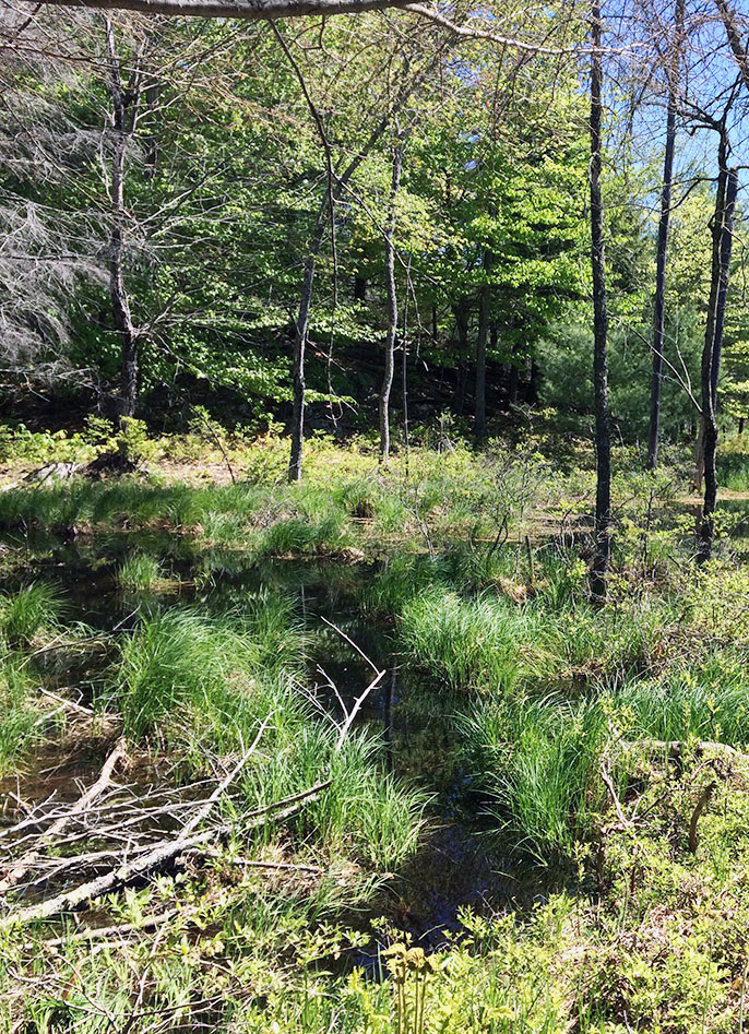
 Wetlands provide a number of ecological functions. These functions are recognized as crucial in in all jurisdictions where the extent and variety of current and historic wetlands play a critical role in wetland and management. Wetlands function as downstream receivers of water and waste. They stabilize water supplies lessening the extreme effects of floods, drought and fire. Wetlands are critical to the food chain and biodiversity with a significant percentage of terrestrial animals using wetlands for a portion of their lifecycle. At the global level, wetlands contribute to the stability of available nitrogen, atmospheric sulfur, carbon dioxide and methane. Wetlands are also important sinks for carbon and increase landscape resilience and adaptation to climate change. Finally, functioning wetlands directly provide benefits to humans in the form of food, air and water quality, energy resources (peat), shade and aesthetic values.
Wetlands should be managed to achieve and protect their natural state so that they can continue to provide important ecological functions. Various wetland types and subclasses require different management strategies based on their key characteristics. These critical habitats should also be protected to include a wide variety of wetland hydroperiods and wetland sizes. Additionally, some researchers argue that distribution and abundance may be just as important as wetland size.
During the past decade, a variety of organizations and their partners across the nation have refined techniques for using National Wetland Inventory (NWI) data to better characterize wetlands and predict wetland functions at the watershed scale or landscape level. The techniques involve adding hydrogeomorphic-type descriptors to standard NWI data and correlating those descriptors to regional ecological functions through stakeholder engagement and best professional judgement. This expanded database has more attributes assigned to mapped wetlands to describe wetlands beyond what was possible through conventional NWI classification.
Current techniques are focused on: GIS-based image interpretation and spatial data modeling approaches; nationally recognized wetland classification systems; regionally-adapted wetland functional correlation matrices; and collateral spatial datasets (e.g. NHD, National Elevation Dataset, SSURGO soils etc.). These techniques support and inform decisions regarding wetland function. As new wetland functional assessment tools, datasets, and science-based approaches are identified through project activities and collaborations, these techniques are refined to provide more insight into the wetland type, extent, condition, change, and restoration opportunity across sampled watersheds.
Some wetland functions that are typically assessed through these techniques include: Aquatic Invertebrate Habitat, Bank and Shoreline Stabilization, Carbon Sequestration, Fish Habitat, Groundwater Recharge, Nutrient Transformation, Other Wildlife Habitat, Sediment and Other Particulate Retention, Streamflow Maintenance, Surface Water Detention, and Waterfowl and Water Bird Habitat.
Data resulting from wetland functional assessments are valuable to resource managers, local stakeholders, tribal governments, and the general public. Public/private partnerships and others who are working to respond to water and habitat management issues such as water supply, quality and quantity, use, permitting, and development can incorporate these data into comprehensive local watershed management plans that complement federal and state regulatory policies focused on no net loss of wetland acres or functions.