 FGDC Wetlands Mapping Standard
Information and helpful links related to the Federal Geographic Data Committee (FGDC) Federal Data Standards for Wetlands can be found on the FWS website. The Wetlands Subcommittee of the FGDC provides additional information and links.
National Wetlands Inventory
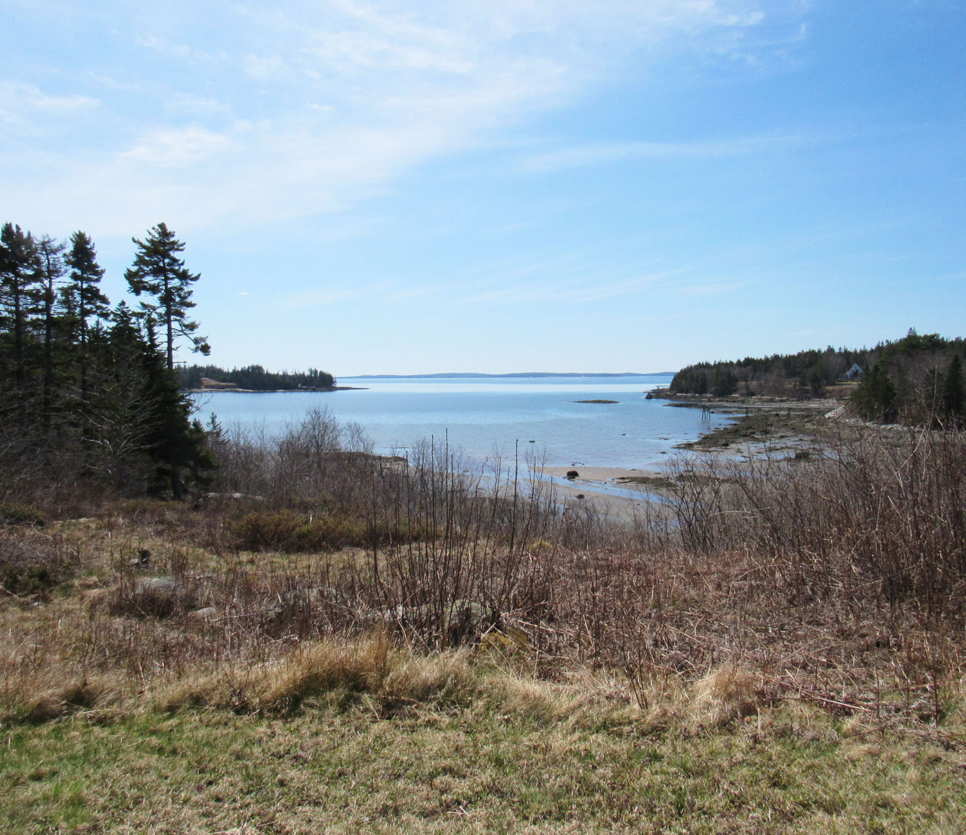
The National Wetlands Inventory (NWI) was established by the U.S. Fish and Wildlife Service (FWS) to conduct a nationwide inventory of the wetlands and deepwater habitats of the United States and to produce national wetlands status and trends reports required by Congress. This information is used by Federal, State and local agencies, academic institutions, and private industry for various management, research, policy development, education and planning activities.
To accomplish this task, the NWI developed a wetland classification system1,2 that is the FWS and Federal standard for wetland mapping, monitoring and reporting. The mapping techniques used by NWI have been adopted by the Federal Geographic Data Committee as the federal wetland mapping standard. This standard applies to all federal funds involving wetland mapping to ensure data is consistent and can be incorporated into the NWI dataset and served to the public.
The NWI website provides users with various methods for viewing and downloading wetlands data as well as important information about Federal wetland mapping standards and wetland status and trend studies.
USDA NRCS Web Soil Survey
The U.S. Department of Agriculture has an online Web Soil Survey (WSS) mapping tool for identifying soils based on on-the-ground soil survey. After accessing the WSS site, read the directions, then click the green button and begin to locate your area of interest and the soils that have been mapped there. With this tool you can produce a map showing soils in your area of interest and also print out the acreage of the soil units in this area. You can also get official soil series descriptions and access copies of archived soil surveys. Information on hydric soils including lists, technical criteria, and the latest guide to field indicators of hydric soils can be accessed at the USDA Hydric Soils site.
Coastal & Marine Ecological Classification
The Coastal and Marine Ecological Classification Standard (CMECS) provides a comprehensive national framework for organizing information about coasts and oceans and their living systems. This information includes the physical, biological, and chemical data that are collectively used to define coastal and marine ecosystems. For more information, click here.
FWS Coastal Barrier Resources System Mapper
1Cowardin, L.M., V. Carter, F.C. Golet, and E.T. LaRoe. 1979. Classification of Wetlands and Deepwater Habitats of the United States. FWS/OBS-79/31. U.S. Department of the Interior, Fish and Wildlife Service, Office of Biological Services, Washington, DC.
2Federal Geographic Data Committee. 2013. Classification of wetlands and deepwater habitats of the United States. FGDC-STD-004-2013. Second Edition. Wetlands Subcommittee, Federal Geographic Data Committee and U.S. Fish and Wildlife Service, Washington, DC.
3Federal Geographic Data Committee. 2009. Wetlands Mapping Standard. FGDC-STD-015-2009. Wetlands Subcommittee, Federal Geographic Data Committee and U.S. Fish and Wildlife Service, Washington, DC.