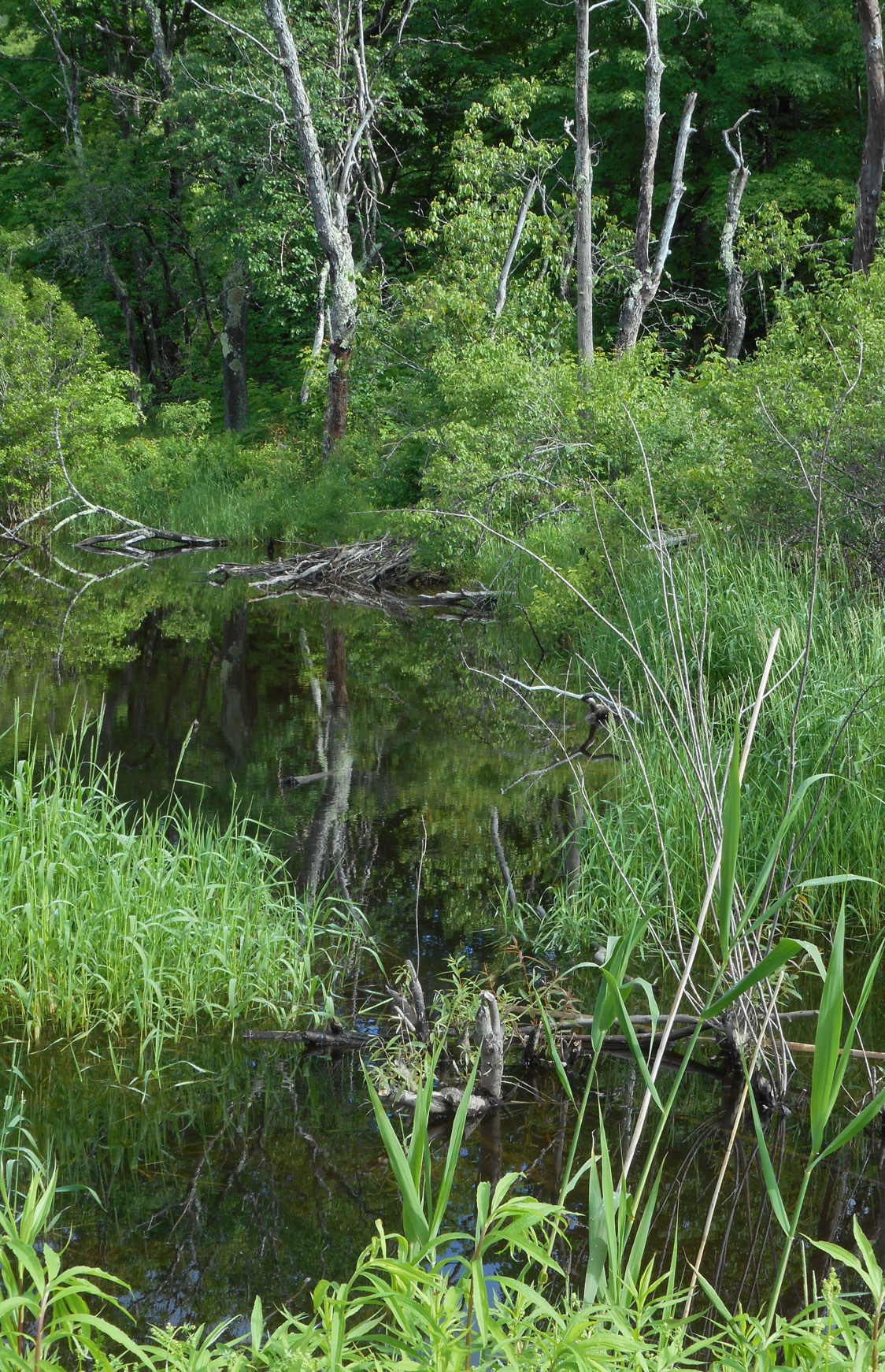
 Many of the characteristics and processes of wetlands are indicators of wetland functions. Indicators are used for wetland monitoring and assessment activities. Identification of these indicators can assist in determining the status of specific wetland function and changes in function over time. Indicators can also allow for comparison of wetland functions between similar wetland types. Not all wetlands have the same functions and therefore not all wetlands can be assessed with the same indicators. As the Maryland Department of the Environment explains, “…tidal and nontidal wetlands have fundamental differences in their hydrology, vegetation and soils, and are subject to different environmental factors that influence their function. Therefore, some indicators are specific to certain wetland types.”
Indicators are used in assessing wetland condition (aka health) as well as for monitoring restoration progress over time. Reference wetlands are often used for assessing wetland restoration projects to evaluate a restoration site’s recovery. Many state agencies categorize their wetlands by condition (i.e., Class I, II or III) as part of their regulatory program. For example, wetlands in poor condition may have fewer regulations than those in excellent condition.
On the ground field assessment is always the most reliable but not always practical. Reports, photographs (aerial and ground) and GIS maps can all be used to identify and evaluate most wetland indicators. The Maryland Department of the Environment has a very useful website with detailed descriptions of wetland indicators and a glossary of terms.
Useful Publications & Resources
- National Wetland Plant List – U.S. Army Corps of Engineers
- 1987 Corps of Engineers Wetland Delineation Manual – U.S. Army Corps of Engineers
- Regional Supplements to the 1987 Wetland Delineation Manual – U.S. Army Corps of Engineers
- Wetland Indicator Status – U.S.D.A. Natural Resources Conservation Service (NRCS) webpage
- Field Indicators of Hydric Soils in the United States – U.S.D.A. NRCS publication (PDF)
- Wetland Indicators – Maryland Dept. of the Environment webpage